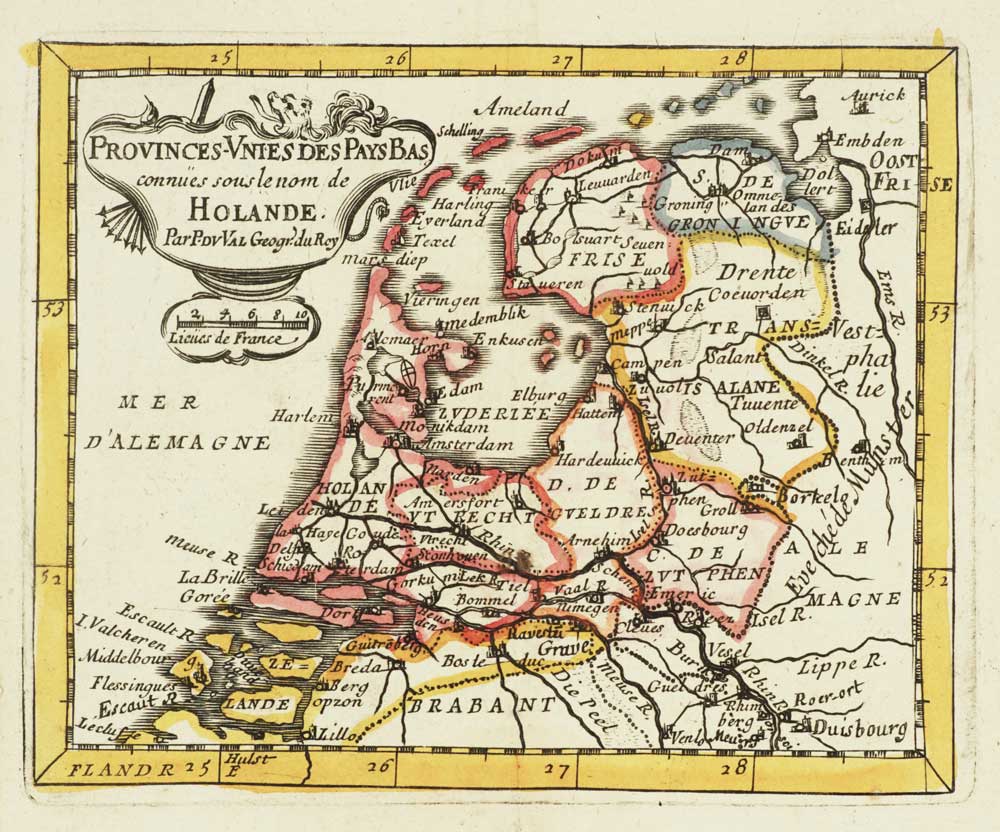


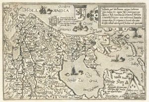
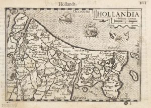
Miniature map of Holland
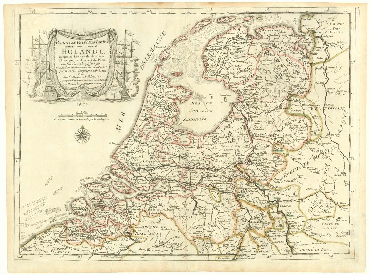
Provinces-Unies Des Pays Bas Connues Sous Le Nom De Holande..
Paris, c.1682. original outline colour. 100 x 125mm.
£140.00
Description
A miniature map of Holland, published in Du Val's 'Géographie Universelle'.
Condition:
A good example.Related products
-
A decorative 18th century map of the Netherlands and East Indies
SEUTTER, Matthaus. Date: 1730Stock #: 20406 £500.00 -

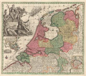
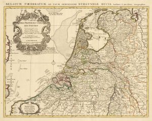
The Netherlands during the Anglo-Dutch War of 1672
DU VAL, Pierre. Date: 1672Stock #: 20503 £900.00 -
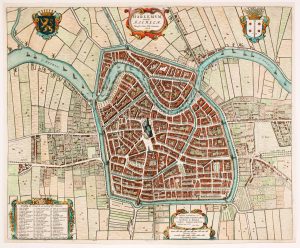
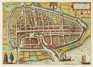
17th century townplan of Haarlem
BLAEU, Johannes. Date: 1649Stock #: 22683 £750.00 -
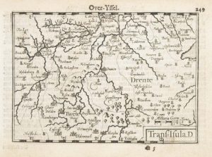
A 16th century miniature map of Overijssel
LANGENES, Barent. Date: 1599Stock #: 21165 £55.00 -
A rare wall map of the Netherlands
LE ROUGE, Georges-Louis. Date: 1790Stock #: 23570 £3,600.00 -
Holland
QUAD, Matthias. Date: 1600Stock #: 9094 £400.00 -
16th century town plan of Rotterdam
BRAUN, Georg & HOGENBERG, Frans. Date: 1588Stock #: 22691 £650.00 -
A 16th century miniature map of Holland
LANGENES, Barent. Date: 1599Stock #: 21158 £85.00 -
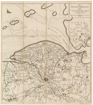
A detailed 18th century map of the Netherlands
DELISLE, Guillaume. Date: 1730Stock #: 24456 £300.00
Items by the same author
[ti_wishlists_addtowishlist]
[ti_wishlists_addtowishlist]

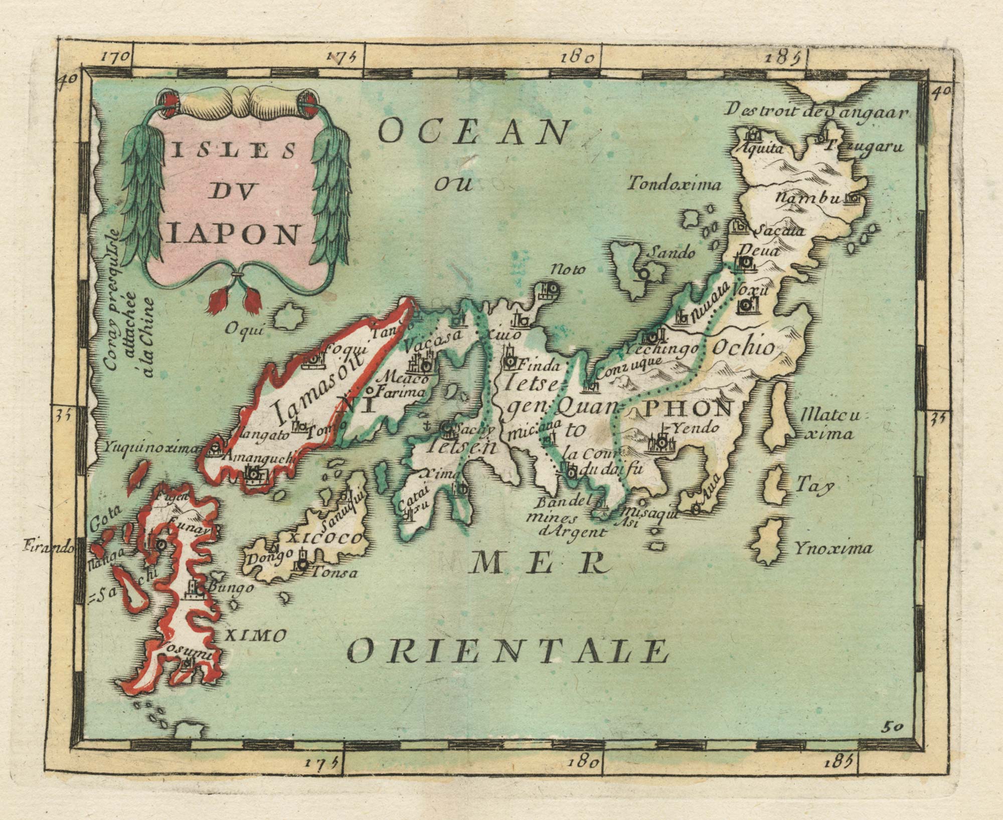
Crete with a plan of Heraklion under siege by the Ottomans
DU VAL, Pierre. Date: 1677 Stock #: 24834 £550.00
[ti_wishlists_addtowishlist]
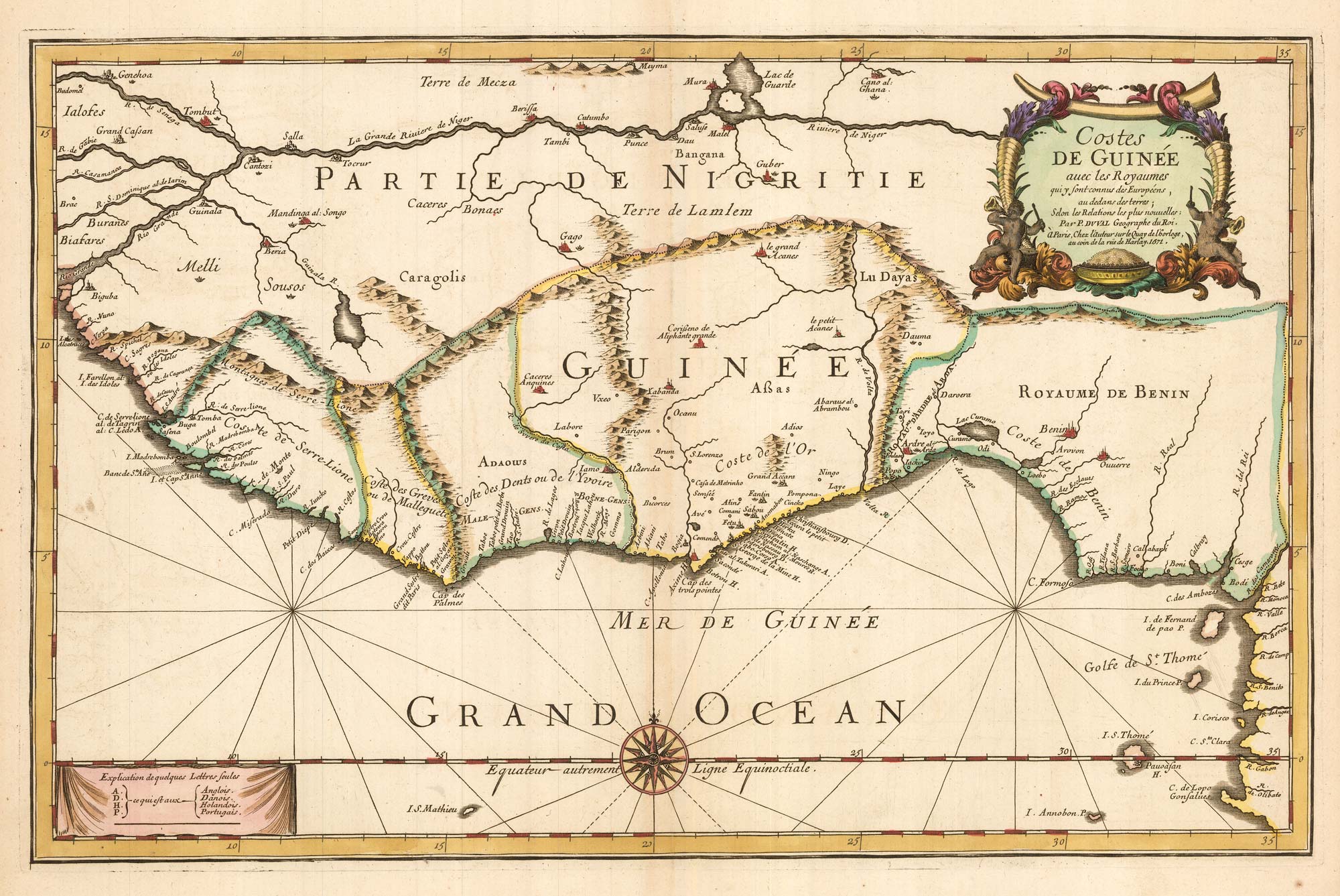
Du Val's folio map of the slave forts of the Gulf of Guinea
DU VAL, Pierre. Date: 1671 Stock #: 23256 £480.00
[ti_wishlists_addtowishlist]
The Netherlands during the Anglo-Dutch War of 1672
DU VAL, Pierre. Date: 1672 Stock #: 20503 £900.00
[ti_wishlists_addtowishlist]