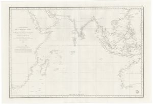
The Southern Indian Ocean with early Antarctic discoveries
Carte des Mers Australes Partie Comprise entre les Méridiens du Cap de Bonne Espérance et du Port de Roi Georges. Dressée Par M.M.P. Daussy, Ingénieur Hydrographique en Chef.
Paris: Dépôt-général de la Marine, 1842. 630 x 920mm, edged with linen on reverse.
£400.00
1 in stock
x
Question About This Item?
The Southern Indian Ocean with early Antarctic discoveries & DAUSSY, Pierre.Stock #: 21223
Add to Wishlist
Export as PDFEnquireSimilar to Sell?Add to Wishlist
Description
A large sea chart of the Southern Indian Ocean, with parts of southern Africa (with Madagascar) and Western Australia (still with the Dutch names), south to Enderby Land, Kemp Land Sabrina Coast, all on Antarctica. Near the centre of the chart are the Kerguelen Islands. Insets show details of the various islands.
Enderby Land was named by the whaling brig Tula in 1831, after Enderby Brothers of London, the ship's owners; Kemp land was sighted by Peter Kemp aboard the brig Magnet in 1833; and Sabrina coast was named by John Balleny in 1839, after a Enderby Brothers cutter lost in this sealing expedition.
Condition:
A little ink offset.Related products
-
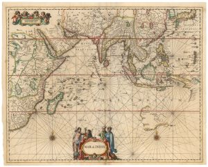
A Dutch chart of the Indian Ocean with Australia
JANSSON, Jan. Date: 1650Stock #: 23581 £2,000.00 -
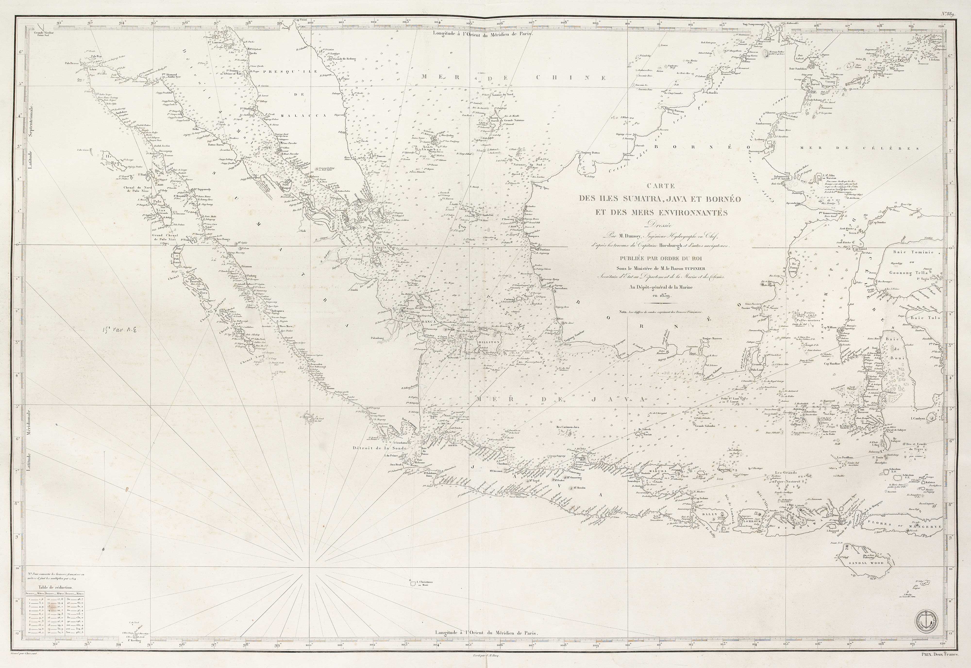
A French 19th century sea chart of the Indian Ocean
DAUSSY, Pierre. Date: 1837Stock #: 21222 £550.00 -
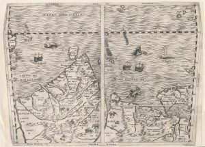
Important 16th century ‘upside-down’ map of the Indian Ocean
GASTALDI, Giacomo. Date: 1565Stock #: 22851 £9,500.00 -
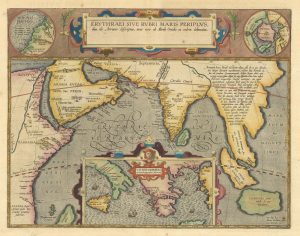
The Indian Ocean from Ortelius’s ”Parergon”
ORTELIUS, Abraham. Date: 1608Stock #: 23719 £950.00
Items by the same author
Add to Wishlist
Add to Wishlist

A French 19th century sea chart of the Indian Ocean
DAUSSY, Pierre. Date: 1837 Stock #: 21222 £550.00
Add to Wishlist
Add to Wishlist