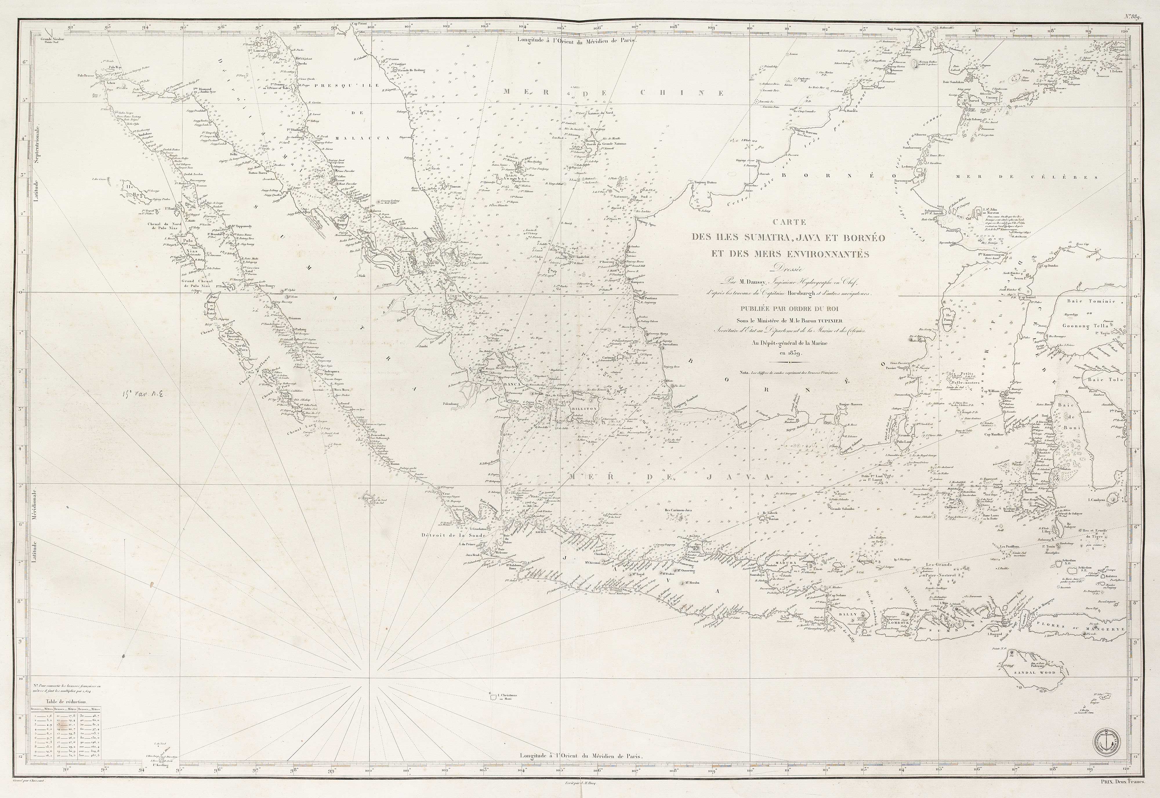
A French 19th century sea chart of the Indian Ocean
Carte Générale de la Mer de des Indes Par M.M.P. Daussy, Ingénieur Hydrographique en Chef de la Marine...
Paris: Dépôt-général de la Marine, 1837. 630 x 920mm, edged with linen on reverse.
£550.00
1 in stock
x
Question About This Item?
A French 19th century sea chart of the Indian Ocean & DAUSSY, Pierre.Stock #: 21222Similar to Sell?
Description
A large and detailed sea chart of the Indian Ocean, marking the coasts of Africa and Asia from the Cape of Good Hope to Formosa, with the Philippines and the western half of Australia (still with the Dutch names).
Condition:
Single spot of foxing in Africa.Related products
-
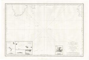
The Southern Indian Ocean with early Antarctic discoveries
DAUSSY, Pierre. Date: 1873Stock #: 21223 £400.00 -
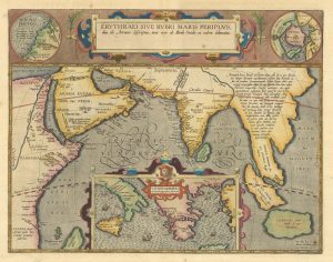
The Indian Ocean from Ortelius’s ”Parergon”
ORTELIUS, Abraham. Date: 1608Stock #: 23719 £950.00 -
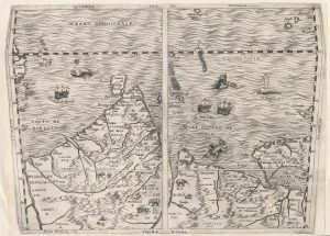
Important 16th century ‘upside-down’ map of the Indian Ocean
GASTALDI, Giacomo. Date: 1565Stock #: 22851 £9,500.00 -
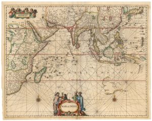
A Dutch chart of the Indian Ocean with Australia
JANSSON, Jan. Date: 1650Stock #: 23581 £2,000.00
Items by the same author
[ti_wishlists_addtowishlist]

The Southern Indian Ocean with early Antarctic discoveries
DAUSSY, Pierre. Date: 1873 Stock #: 21223 £400.00
[ti_wishlists_addtowishlist]