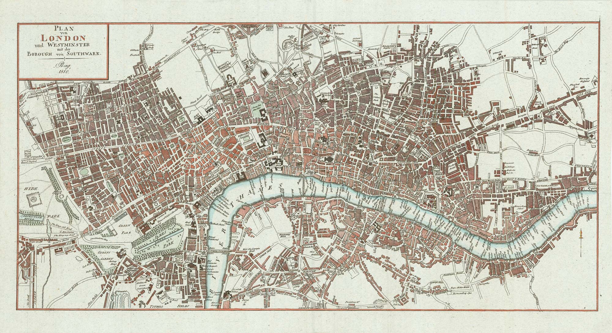


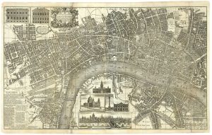
Early 19th century plan of London
Plan von London und Westminster mit der Borough von Southwark.
Prague, 1810. Coloured. 250 x 495mm.
£350.00
Description
A Czech plan of London, seemingly based on the Horwood map. The map reaches Knightsbridge in the west, Islington in the north, Stepney in the east and Newington in the south.
Condition:
A good example.References:
Not listed in Howgego.Related products
-
Early Georgian map of the environs of London
OVERTON, Henry. Date: 1720Stock #: 13522 £1,500.00 -
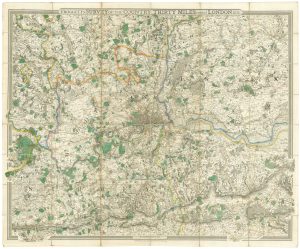
Folding map of the environs of London in fine colour
MOGG, Edward. Date: 1817Stock #: 21770 £650.00 -
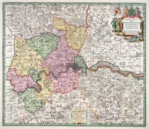
An early Georgian map of the environs of London
SEUTTER, Matthaus. Date: 1728Stock #: 20945 £750.00 -
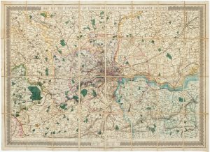
The environs of London, marking the railways
STANFORD, Edward. Date: 1865Stock #: 17228 £500.00 -
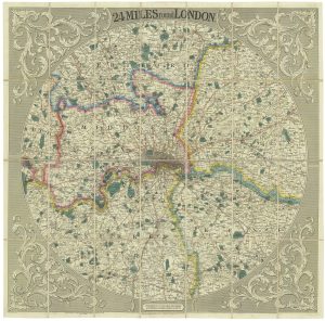
Striking circular map of the London environs
CRUCHLEY, George Frederick. Date: 1817Stock #: 20964 £1,600.00 -
A finely-engraved map of the environs of London
FROGGETT, John Walter. Date: 1831Stock #: 18608 £1,800.00 -
A two-sheet map of London in the mid-18th century
BOWLES, John. Date: 1742Stock #: 25155 £3,450.00 -
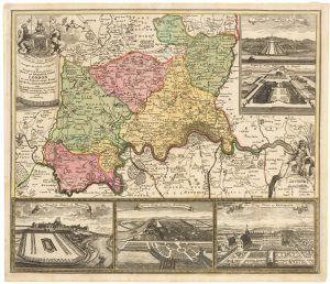
Map of the environs of London with inset views of Royal Palaces
HOMANN, Johann Baptist. Date: 1710Stock #: 23003 £1,250.00 -
A mid-19th century map of the environs of London
SMITH, Charles & Son. Date: 1849Stock #: 16034 £1,500.00
Items by the same author
[ti_wishlists_addtowishlist]
[ti_wishlists_addtowishlist]
[ti_wishlists_addtowishlist]
[ti_wishlists_addtowishlist]
[ti_wishlists_addtowishlist]
[ti_wishlists_addtowishlist]