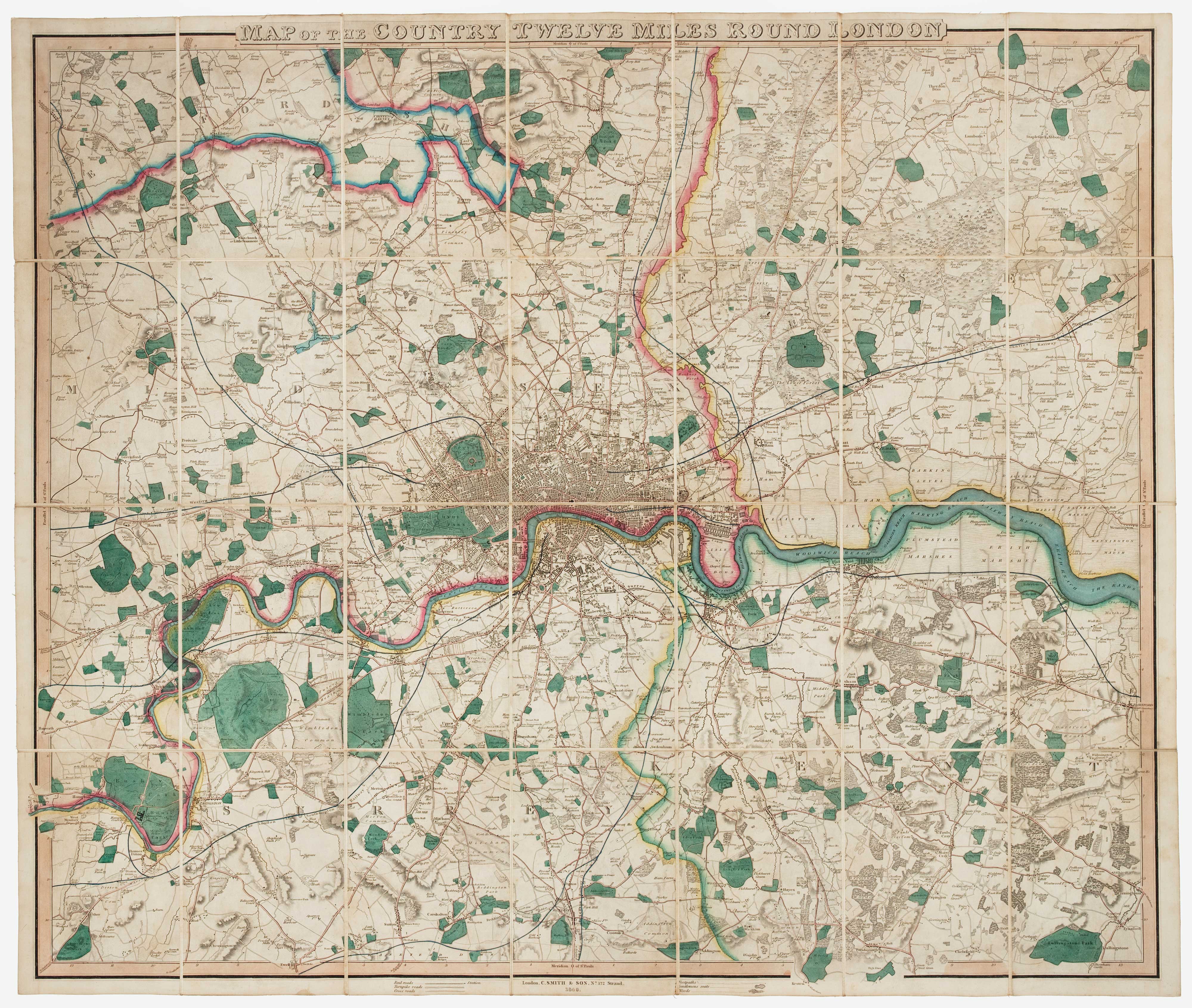


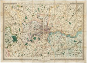
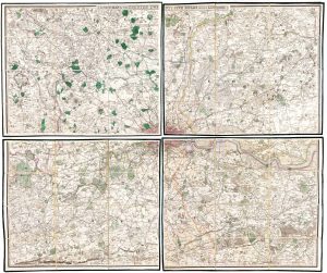
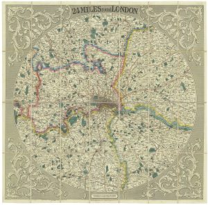
A mid-19th century map of the environs of London
Map of the Country Twenty Miles Round London.
London: C. Smith & Son, 1849. Vibrant original colour. Dissected and laid on linen as issued, total 775 x 890mm. With slipcase.
£1,500.00
1 in stock
x
Question About This Item?
A mid-19th century map of the environs of London & SMITH, Charles & Son.Stock #: 16034Similar to Sell?
Description
A map of the environs of London, extending to Hounslow and Southall in the west, clockwise to Watford, Enfield, Romford, Dartford, Farnborough, Croyden, Ewell and Sunbury. The emerging rail network is marked.
Condition:
A good example.References:
Not in Howgego.Related products
-
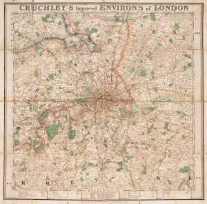
A late-Georgian map of the environs of London
CRUCHLEY, George Frederick. Date: 1827Stock #: 15495 £650.00 -
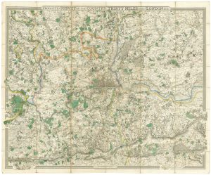
A finely-engraved map of the environs of London
FROGGETT, John Walter. Date: 1831Stock #: 18608 £1,800.00 -
Early Georgian map of the environs of London
OVERTON, Henry. Date: 1720Stock #: 13522 £1,500.00 -
The environs of London, marking the railways
STANFORD, Edward. Date: 1865Stock #: 17228 £500.00 -
Detailed map of the environs of early Victorian London
FADEN, William. Date: 1838Stock #: 19686 £750.00 -
Folding map of the environs of London in fine colour
MOGG, Edward. Date: 1817Stock #: 16208 £650.00 -
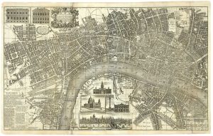
Map of the environs of London with inset views of Royal Palaces
HOMANN, Johann Baptist. Date: 1710Stock #: 23003 £1,250.00 -
A two-sheet map of London in the mid-18th century
BOWLES, John. Date: 1742Stock #: 25155 £3,450.00 -
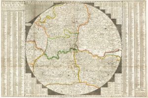
Striking circular map of the London environs
CRUCHLEY, George Frederick. Date: 1817Stock #: 20964 £1,600.00