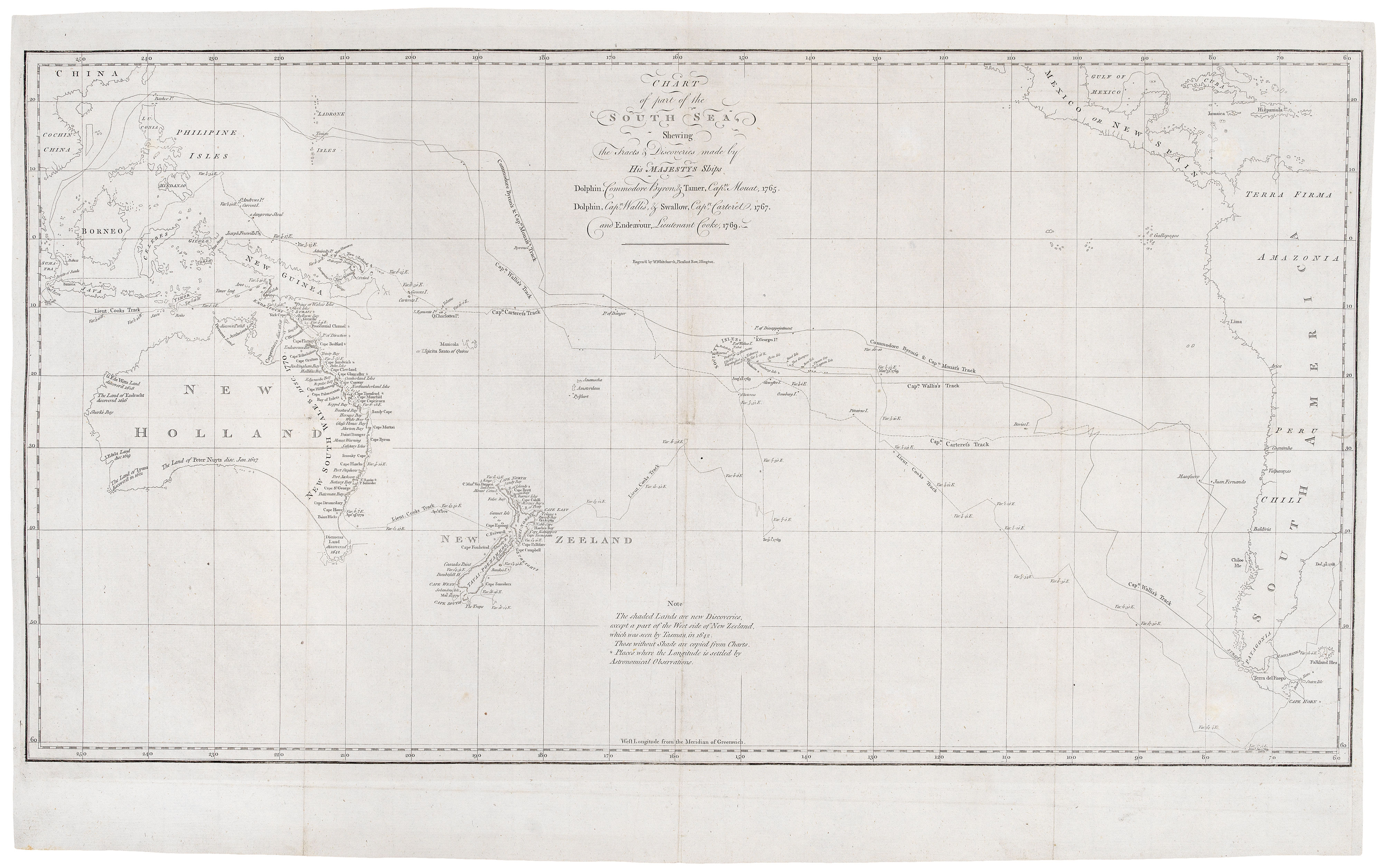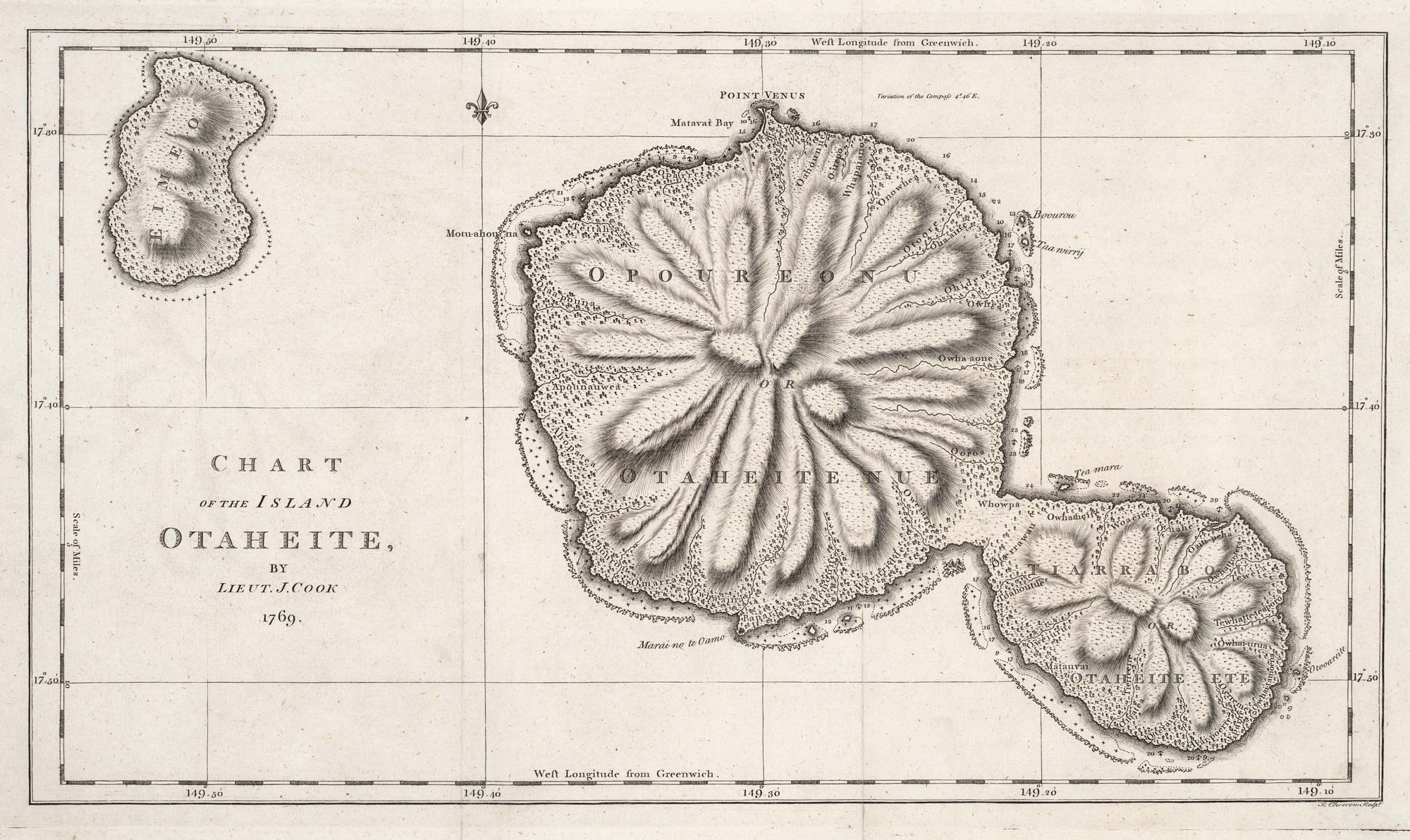


The map of Tahiti from Cook’s First Voyage
Chart of the Island Otaheite, by Lieut. J. Cook 1769.
London, c.1773. 250 x 440mm.
£250.00
Description
A map of Tahiti, as surveyed by James Cook on his First Voyage.
Cook's mission on his First Voyage to the South Seas was to take astronomers to Tahiti to observe the passage of Venus across the Sun in 1769, at the request of the Royal Society. In his three months stay on the island he sailed round the island in a small boat, a trip which resulted in this map. To the north can be seen 'Point Venus'.
The map was engraved by J. Cheevers for John Hawkesworth's 'An account of the voyages undertaken by the order of His present Majesty for making discoveries in the Southern Hemisphere', a compilation of the accounts of explorers including Byron, Wallis and Carteret, as well the Official Account of Cook's voyage.
Condition:
A good example.Related products
-
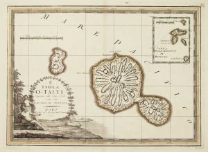
Cook’s mapping of Tahiti
CASSINI, Giovanni Maria. Date: 1798Stock #: 12534 £300.00 -
Raiatea Island from Cook’s Voyages
HAWKESWORTH, John. Date: 1773Stock #: 13815 £220.00 -
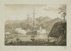
The Tahitians attack the ‘Dolphin’
ROOKER, E. Date: 1773Stock #: 13809 £160.00 -
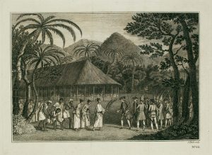
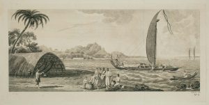
Samuel Wallis meets Oberea, the female chieftain of Tahiti
HAWKESWORTH, John. Date: 1773Stock #: 13808 £90.00
Items by the same author
Add to Wishlist
Add to Wishlist
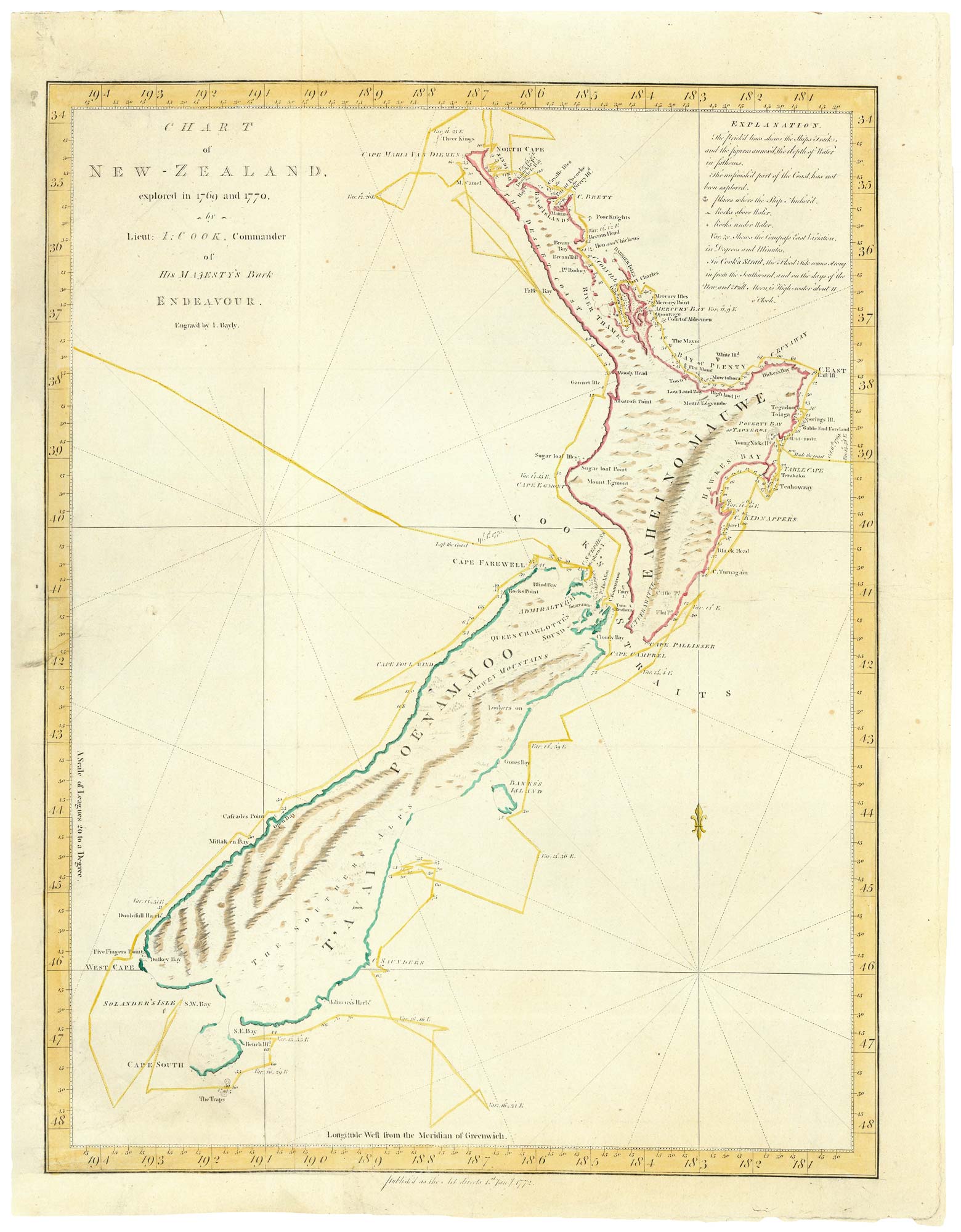
Cook's landmark map of New Zealand
COOK, James. Date: 1773 Stock #: 24762 £3,500.00
Add to Wishlist
Add to Wishlist

Cook's maps of Botany Bay and the Endeavour River
COOK, James. Date: 1774 Stock #: 23585 £180.00
Add to Wishlist
Add to Wishlist
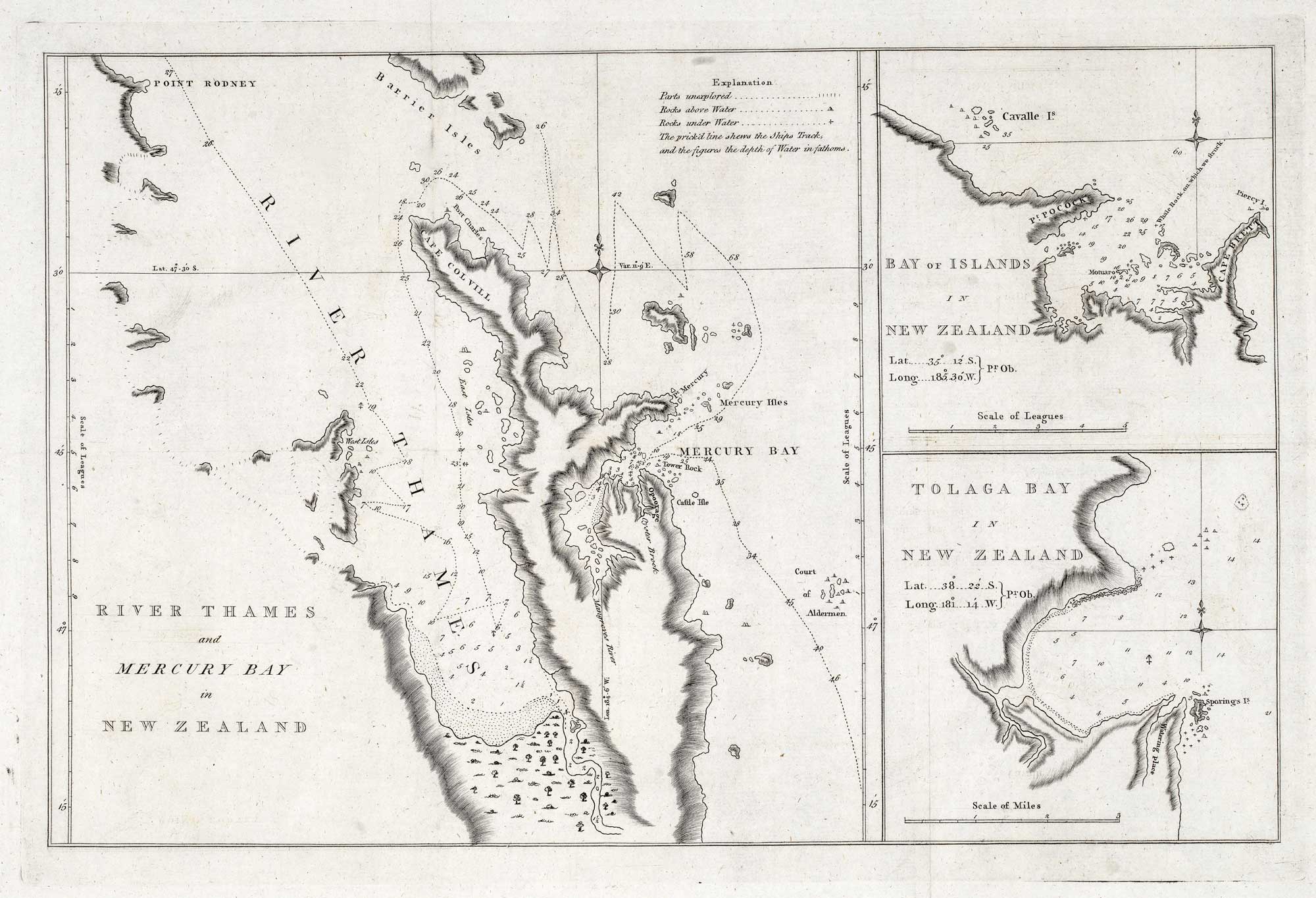
The first map of the Thames River in New Zealand
COOK, James. Date: 1773 Stock #: 21095 £400.00
Add to Wishlist
Add to Wishlist
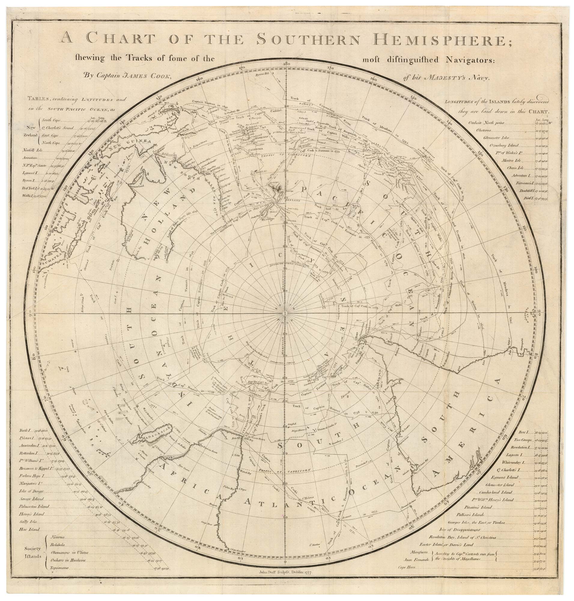
The scarce Dublin edition of Cook's map of the Southern Hemisphere
COOK, James. Date: 1777 Stock #: 21960 £1,200.00
Add to Wishlist
Add to Wishlist
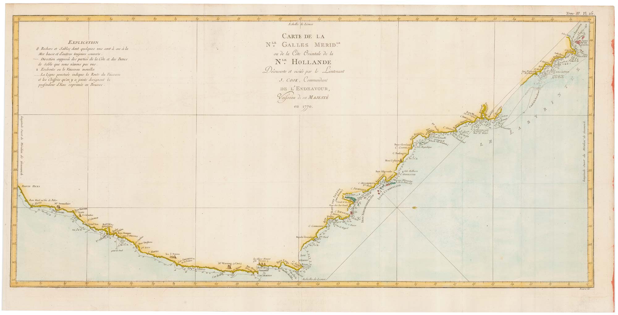
Captain Cook's first map of New South Wales
COOK, James. Date: 1774 Stock #: 20274 £950.00
Add to Wishlist
Add to Wishlist