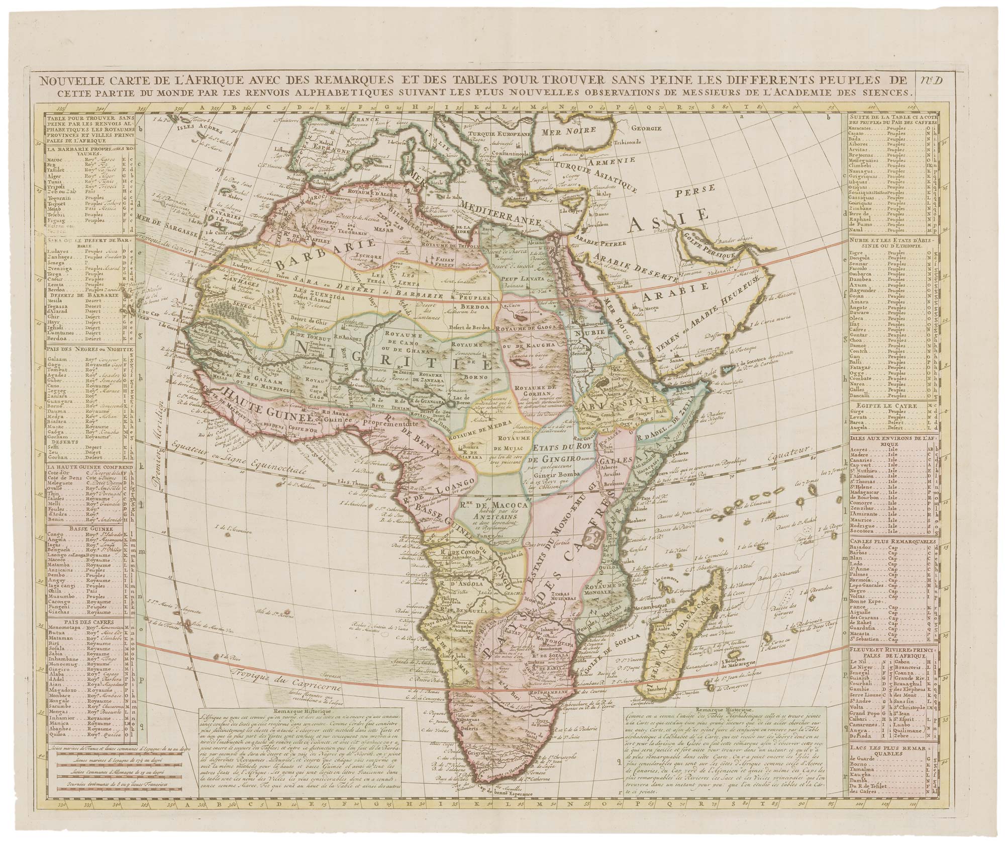


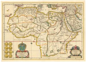
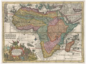
18th century map of Africa
Nouvelle Carte d'Afrique...
Amsterdam, 1721. Coloured. 480 x 590mm.
£450.00
Description
Africa divided into kingdoms, with index tables down each side. From the 'Atlas Historique'.
Condition:
A good example.Related products
-
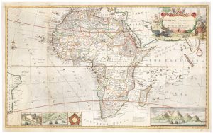
An 18th century wall map of Africa
ANVILLE, Jean Baptiste B. D'. Date: 1772Stock #: 22567 £1,800.00 -
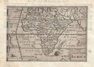
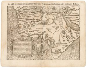
The first issue of this 16th century miniature map of Africa
LANGENES, Barent. Date: 1599Stock #: 21290 £300.00 -
A scarce historical map of Africa
BLANKAARD, Nicolas. Date: 1662Stock #: 24903 £650.00 -
The earliest available atlas map of Africa
MUNSTER, Sebastian. Date: 1552Stock #: 23047 £1,200.00 -
A Venetian edition of D’Anville’s wall map of Africa
ANVILLE, Jean Baptiste B. D'. Date: 1780Stock #: 21916 £1,400.00 -
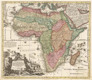
Classic 18th century map of Africa
SEUTTER, Matthaus. Date: 1720Stock #: 20253 £780.00 -
18th century pocket map of Africa
SEUTTER, Matthaus. Date: 1760Stock #: 18937 £420.00 -
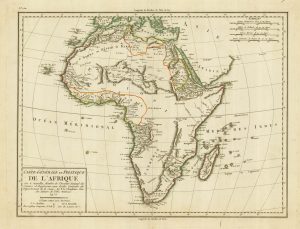
A late 18th century French map of Africa
MENTELLE, Edme. Date: 1797Stock #: 21984 £165.00 -
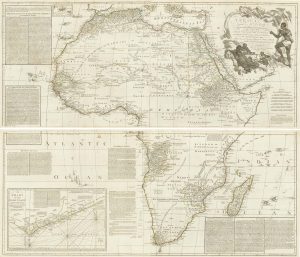
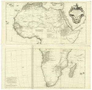
An 18th century two-sheet map of Africa
MOLL, Herman. Date: 1730Stock #: 22283 £1,800.00
Items by the same author
[ti_wishlists_addtowishlist]
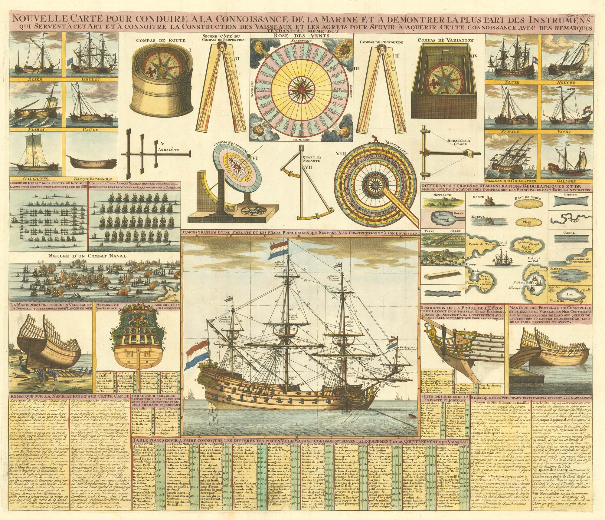
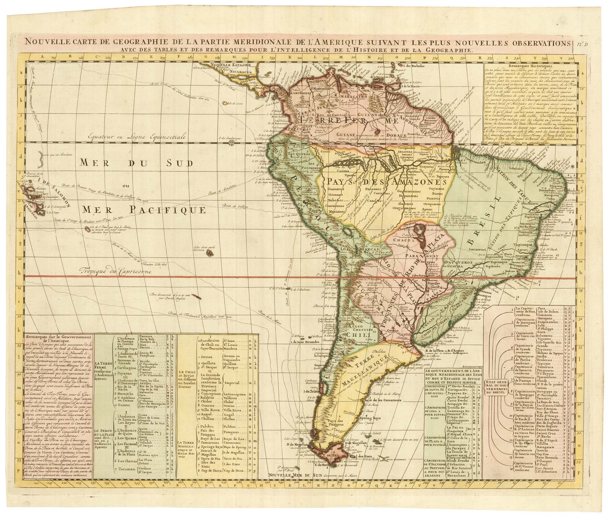
An 18th century maritime explanatory print
CHATELAIN, Henri Abraham. Date: 1720 Stock #: 24154 £1,200.00
[ti_wishlists_addtowishlist]
[ti_wishlists_addtowishlist]
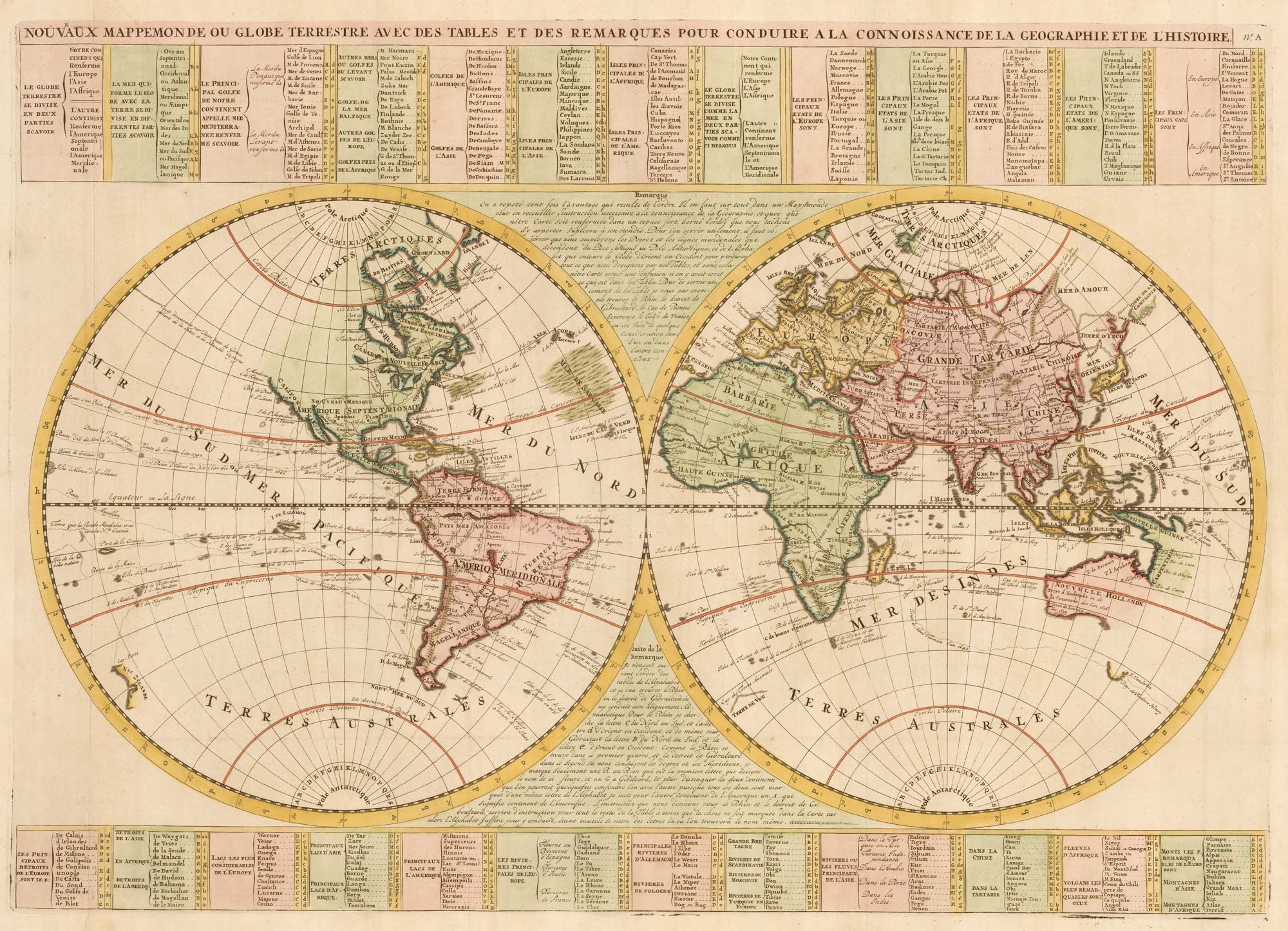
An 18th century double-hemisphere world map
CHATELAIN, Henri Abraham. Date: 1747 Stock #: 23390 £1,000.00
[ti_wishlists_addtowishlist]
[ti_wishlists_addtowishlist]
[ti_wishlists_addtowishlist]