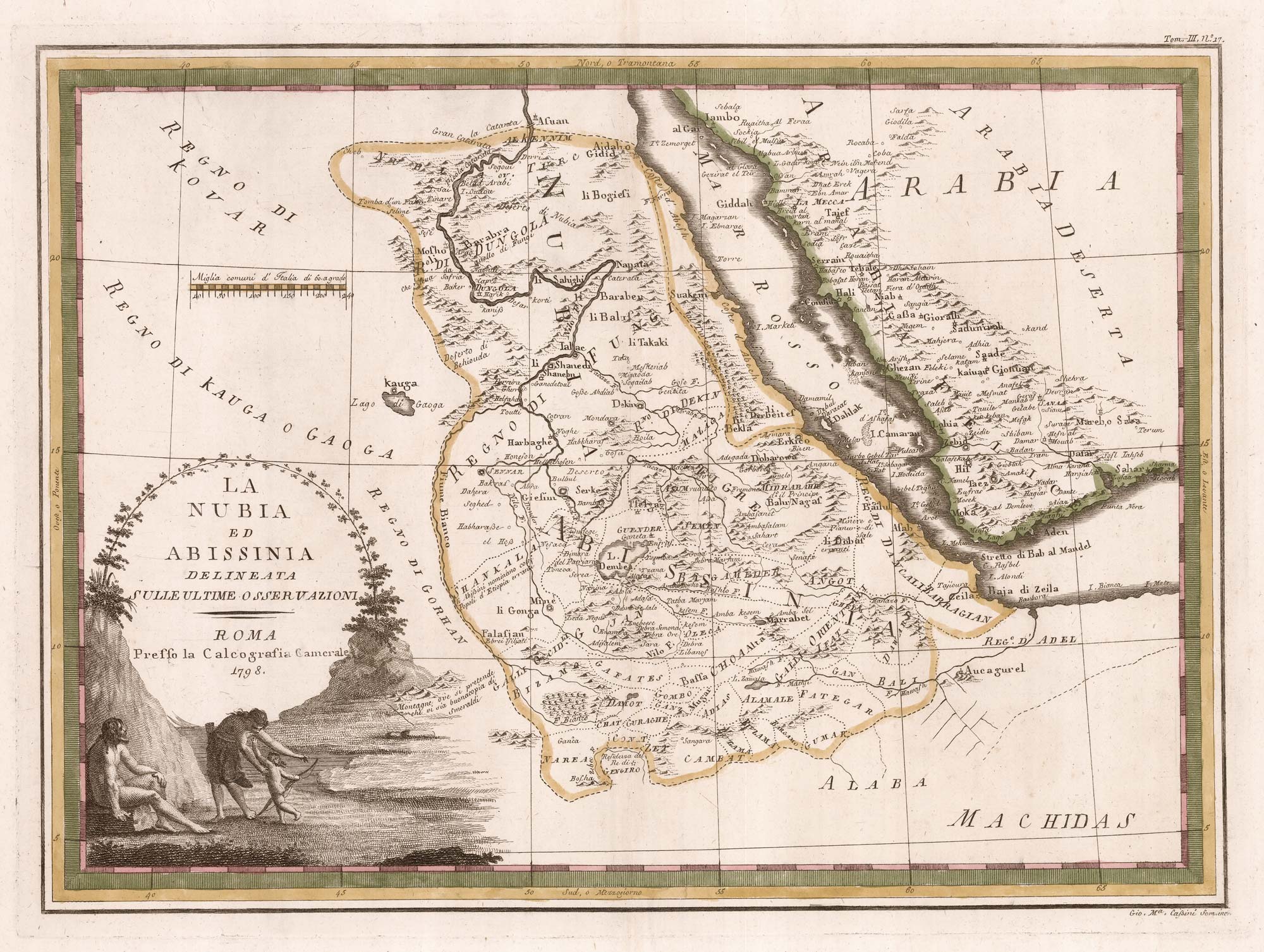


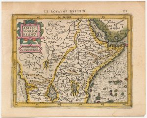
18th century map of Nubia and Abyssinia
La Nubia ed Abissinia delineata sulle Ultime Osservazioni.
Rome, 1798. Original colour, 365 x 500mm.
£350.00
1 in stock
x
Question About This Item?
18th century map of Nubia and Abyssinia & CASSINI, Giovanni Maria.Stock #: 13313Similar to Sell?
Description
A scarce map of Nubia and Abyssinia, from the rare atlas 'Nuovo Atlante Geografico Universale'.
Condition:
A good example.Related products
-
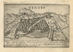
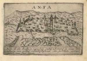
A 16th century town plan of Tangier
VALEGIO, Francesco. Date: 1598Stock #: 24217 £220.00 -
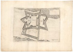
A plan of Philip II’s fortress of Goletta in Tunis
LAFRERI, Antonio. Date: 1698Stock #: 25314 £750.00 -
A 16th century town plan of Casablanca
VALEGIO, Francesco. Date: 1598Stock #: 24215 £240.00 -
Early 17th century map of central Africa
HONDIUS, Jodocus. Date: 1608Stock #: 23220 £200.00 -
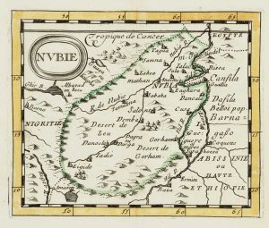
Miniature map of Nubia
DU VAL, Pierre. Date: 1682Stock #: 10830 £80.00 -
An unusual 17th century prospect of Tunis
MEISNER, Daniel. Date: 1640Stock #: 24684 £150.00 -
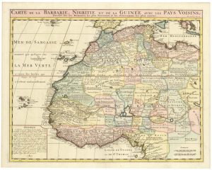
An 18th century map of Northwest Africa
CHATELAIN, Henri Abraham. Date: 1720Stock #: 22881 £340.00 -
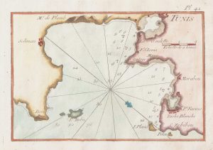
An 18th century chart of Tunis
ROUX, Joseph. Date: 1764Stock #: 21743 £75.00 -

Miniature map of Mauretania & the Sahara
DU VAL, Pierre. Date: 1682Stock #: 10828 £80.00
Items by the same author
[ti_wishlists_addtowishlist]
[ti_wishlists_addtowishlist]
[ti_wishlists_addtowishlist]
[ti_wishlists_addtowishlist]
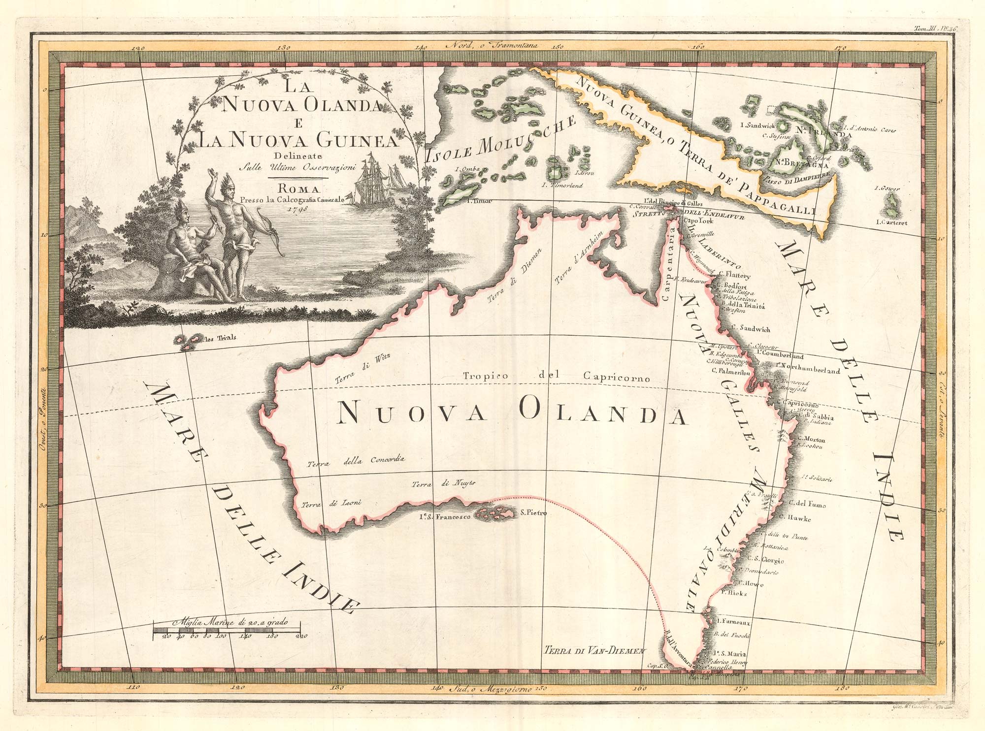
One of the most decorative maps of Australia
CASSINI, Giovanni Maria. Date: 1798 Stock #: 17956 £3,750.00
[ti_wishlists_addtowishlist]
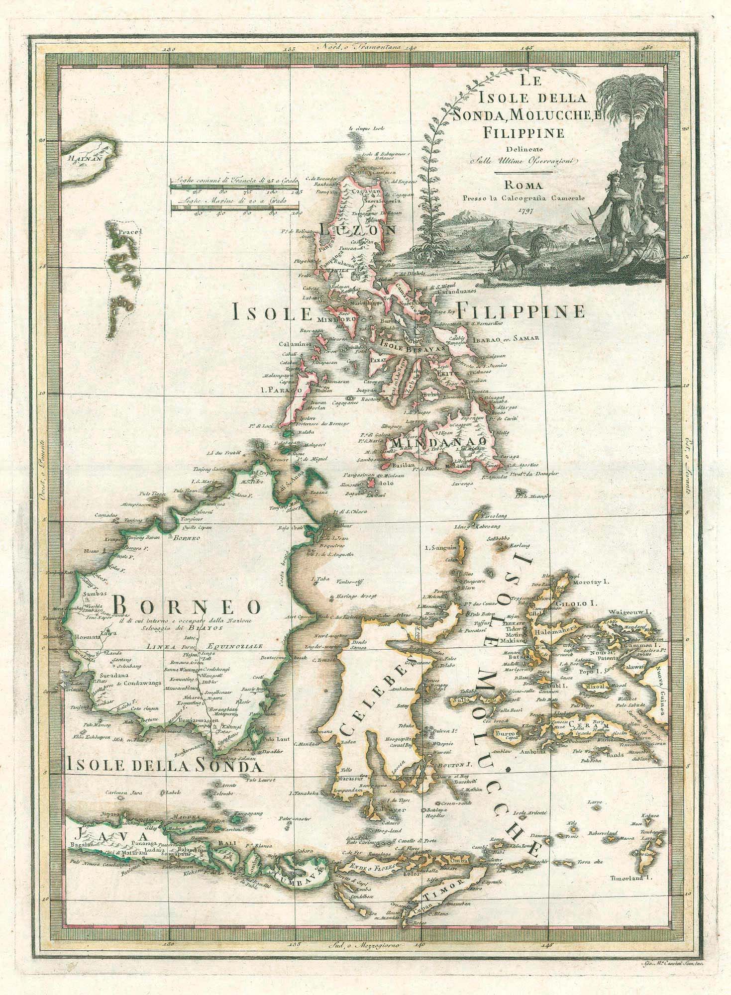
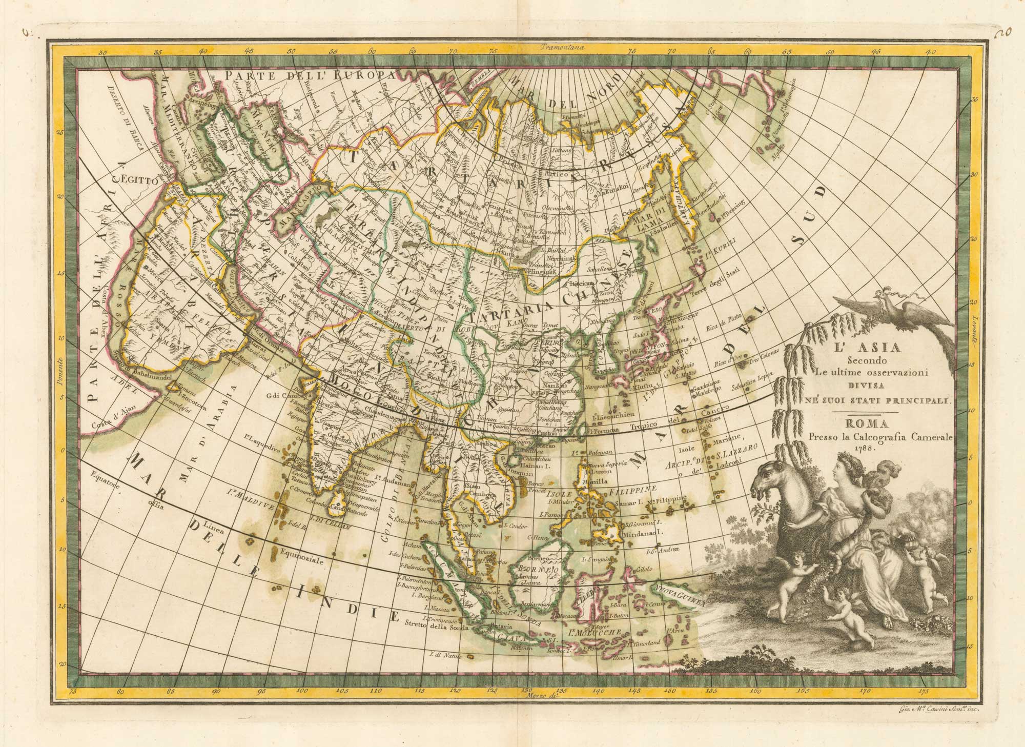
A scarce 18th century Italian map of the Philippines and Indonesia
CASSINI, Giovanni Maria. Date: 1797 Stock #: 18460 £1,400.00
[ti_wishlists_addtowishlist]