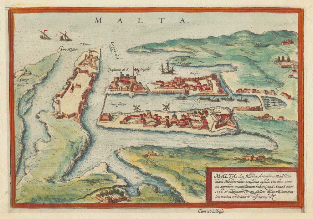


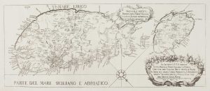
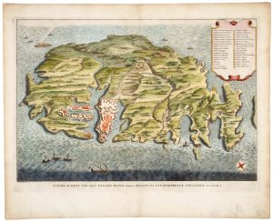
Early plan of Valletta
Malta.
Cologne, c.1600. Original colour. 160 x 230mm.
£325.00
Description
An early 'map-view' of Valletta, with the major buildings shown in profile with little consideration for perspective.
Condition:
Trimmed into plate left and bottom, new margins added.Related products
-
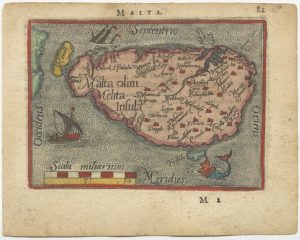
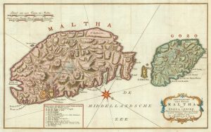
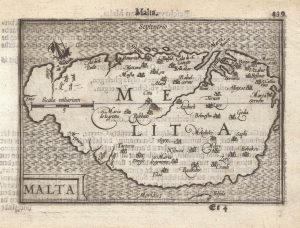
A 16th century miniature map of Malta
ORTELIUS, Abraham. Date: 1593Stock #: 24463 £280.00 -
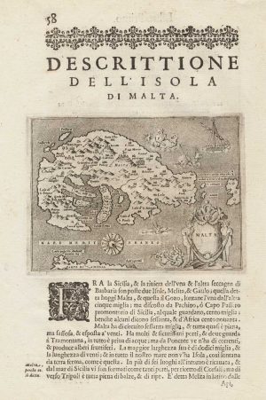
Early map of the island of Malta
PORCACCHI, Tomaso. Date: 1590Stock #: 15506 £275.00 -
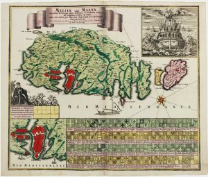
18th century map celebrating the Knights of Malta
SEUTTER, Matthaus. Date: 1730Stock #: 16116 £1,850.00 -
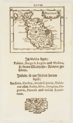
Uncommon miniature map of Malta
MULLER, Johann Ulrich. Date: 1692Stock #: 15660 £385.00 -
A military map of Malta from the mid-18th century
TIRION, Isaak. Date: 1761Stock #: 19418 £680.00 -
A rare 18th century map of Malta published on the island
ABELA, Giovanni Francesco. Date: 1772Stock #: 15698 £2,600.00 -
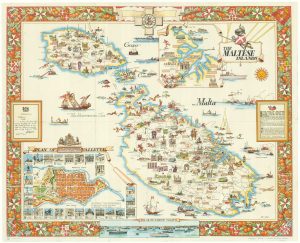
Mid-20th century travel poster of Malta
CIQHERI, Aldo. Date: 1950Stock #: 19416 £440.00 -
18th century Bird’s-eye view map of Malta
PUTTER, Abraham de. Date: 1729Stock #: 21022 £650.00 -
A 16th century miniature map of Malta
LANGENES, Barent. Date: 1599Stock #: 21326 £400.00
Items by the same author
[ti_wishlists_addtowishlist]

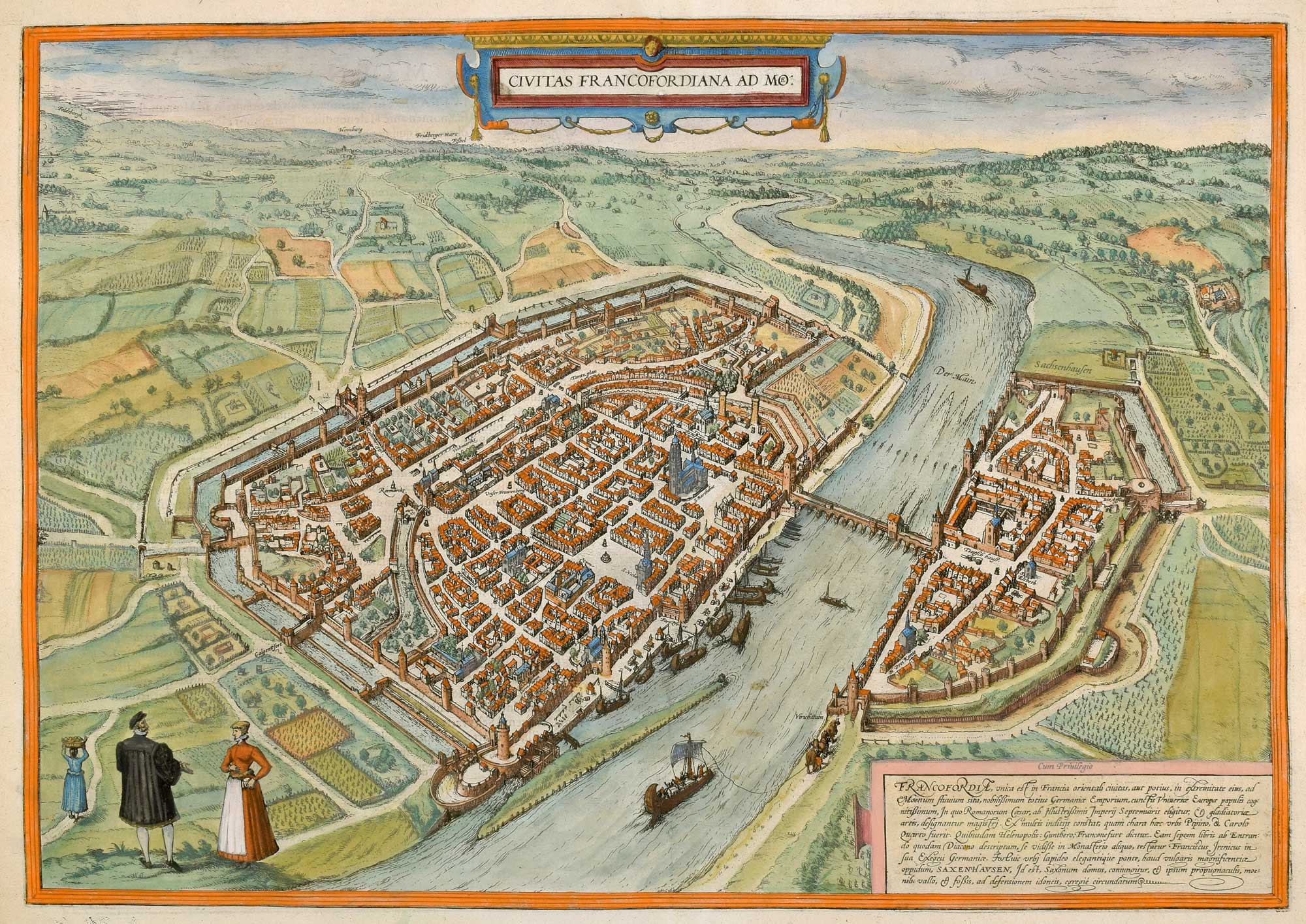
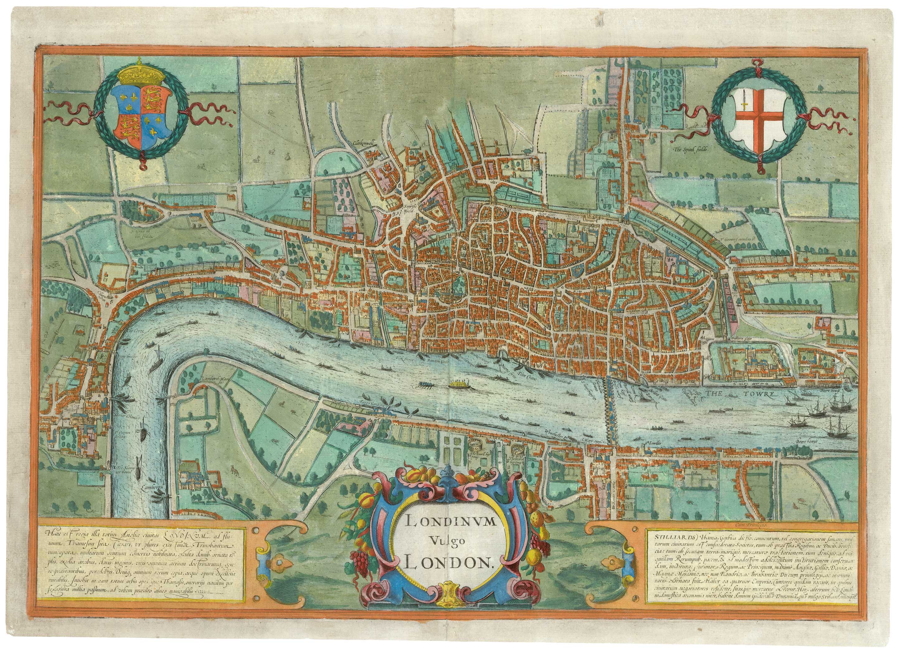
The elusive FIRST STATE of the earliest available printed map of London
BRAUN, Georg & HOGENBERG, Frans. Date: 1572 Stock #: 25592 £12,500.00
[ti_wishlists_addtowishlist]

[ti_wishlists_addtowishlist]
[ti_wishlists_addtowishlist]
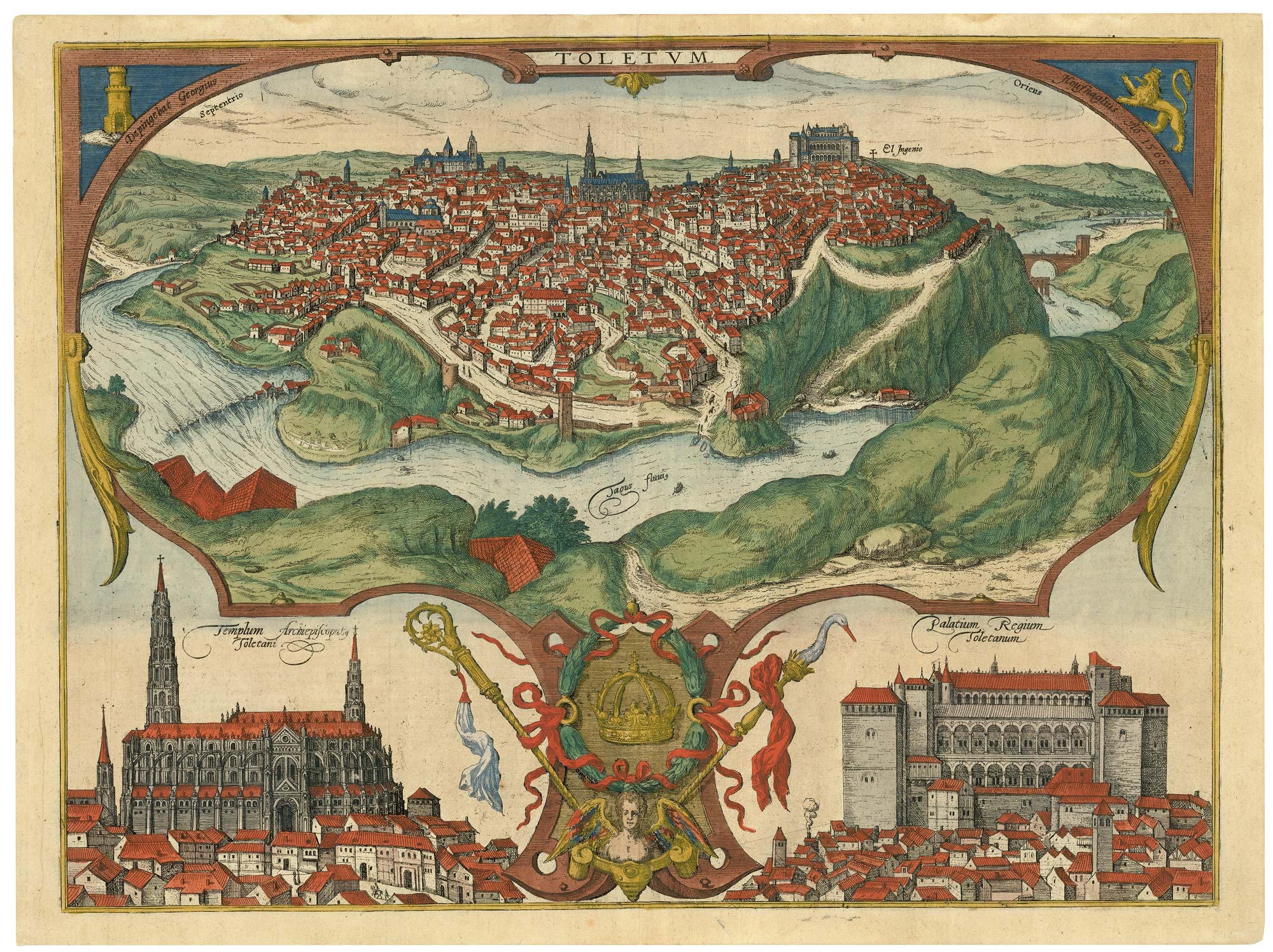
A spectacular 16th century view of Toledo
BRAUN, Georg & HOGENBERG, Frans. Date: 1598 Stock #: 25349 £1,400.00
[ti_wishlists_addtowishlist]
The rare Jansson edition of the earliest available map of London
BRAUN, Georg & HOGENBERG, Frans. Date: 1657 Stock #: 25199 £6,500.00
[ti_wishlists_addtowishlist]
