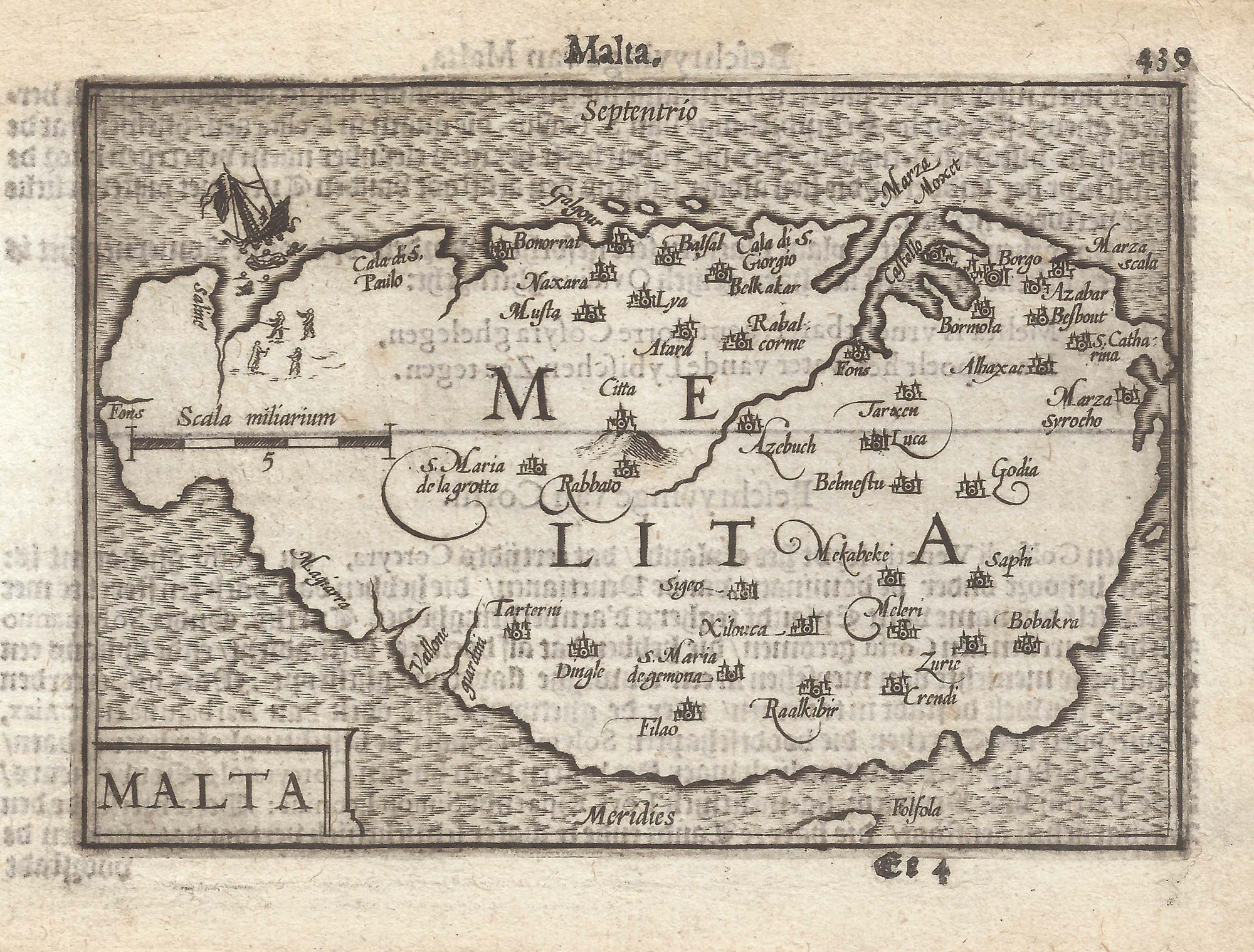


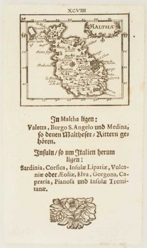
A 16th century miniature map of Malta
Malta.
Amsterdam, Cornelis Claez, 1599, Dutch text edition. 85 x 125mm, with letterpress surtitle and pagination.
£400.00
Description
A scarce map of Malta, engraved by either Jodocus Hondius or Pieter van der Keere for the 'Caert-Thresoor', with a text by an unknown author.
By 1600 this map was being published in the 'Tabularum Geographicarum Contractarum' with a text by Petrus Bertius, and in 1616 a new plate was engraved by Jodocus Hondius II, slightly larger and with wider borders with scales of longitude and latitude.
Condition:
A good example.Related products
-
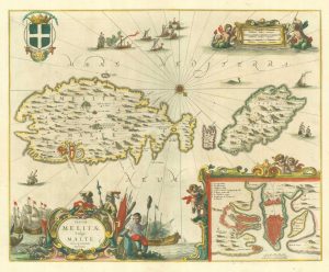
The scarce Jansson map of Malta in fine colour
JANSSON, Jan. Date: 1654Stock #: 19194 £2,600.00 -
18th century Bird’s-eye view map of Malta
PUTTER, Abraham de. Date: 1729Stock #: 21022 £650.00 -
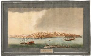
A rare 18th century view of Valletta
PULLICINO, Alberto. Date: 1770Stock #: 23425 £3,750.00 -
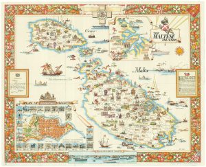
Mid-20th century travel poster of Malta
CIQHERI, Aldo. Date: 1950Stock #: 19416 £440.00 -
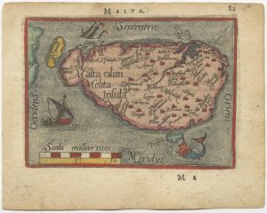
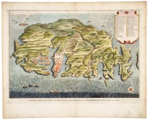
A 16th century miniature map of Malta
ORTELIUS, Abraham. Date: 1593Stock #: 24463 £280.00 -
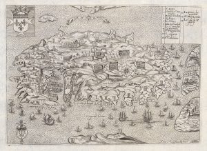
The Knights Hospitallers on Malta during the Siege of 1565
NABERAT, Anne de. Date: 1629Stock #: 20426 £1,750.00 -
Uncommon miniature map of Malta
MULLER, Johann Ulrich. Date: 1692Stock #: 15660 £385.00 -
A rare 18th century map of Malta published on the island
ABELA, Giovanni Francesco. Date: 1772Stock #: 15698 £2,600.00 -

A 17th century miniature plan of Valletta
MALLET, Alain Manesson. Date: 1683Stock #: 22329 £220.00
Items by the same author
[ti_wishlists_addtowishlist]

[ti_wishlists_addtowishlist]

A 16th century miniature map of Saxony, Thuringia & Meissen
LANGENES, Barent. Date: 1599 Stock #: 21173 £50.00
[ti_wishlists_addtowishlist]

[ti_wishlists_addtowishlist]

[ti_wishlists_addtowishlist]

[ti_wishlists_addtowishlist]