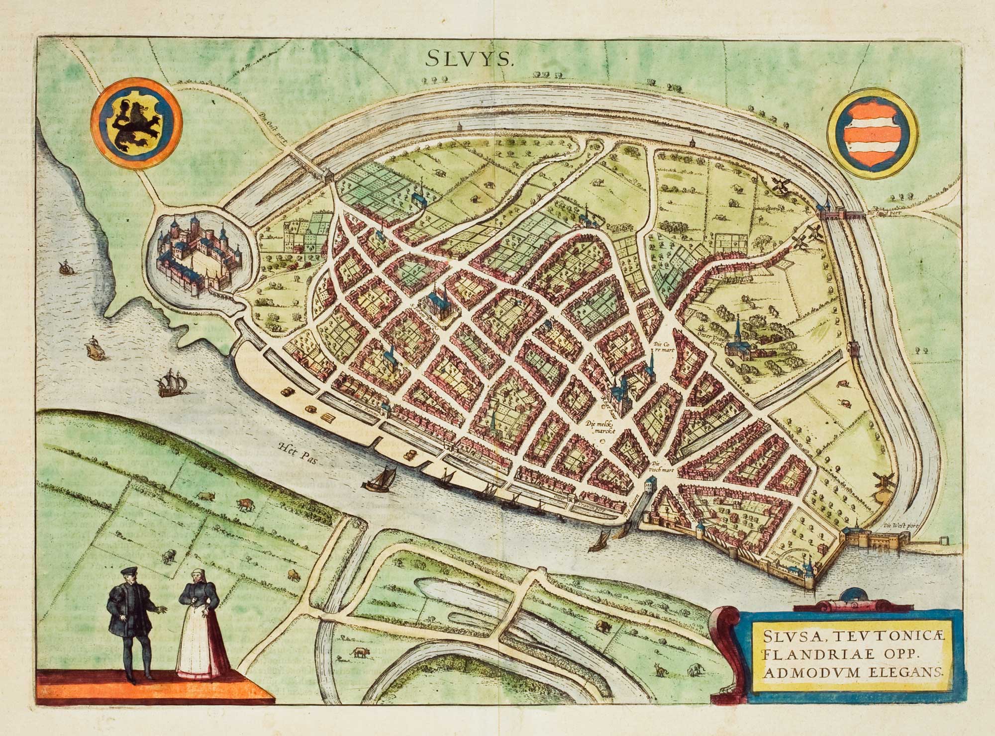


Early townplan of Sluis in Belgium
Sluys.
Cologne, 1581-, Latin text edition. Original colour. 290 x 405mm.
£220.00
1 in stock
x
Question About This Item?
Early townplan of Sluis in Belgium & BRAUN, Georg & HOGENBERG, Frans.Stock #: 9914Similar to Sell?
Description
Sluis in Belgium, from Braun & Hogenberg's 'Civitates Orbis Terrarum', the first series of printed town plans.
Condition:
A good example.Related products
-
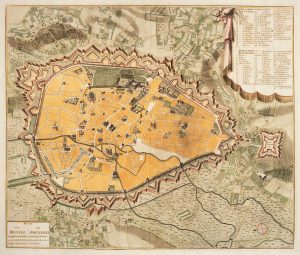
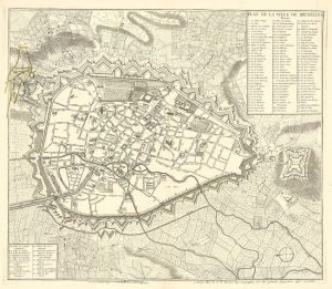
Town plan of Brussels in the 18th century
HUCHTENBURG, J. van. Date: 1729Stock #: 11162 £500.00 -
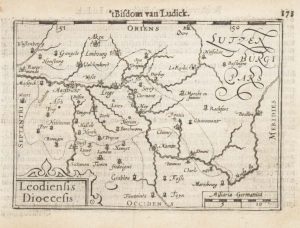
A 16th century miniature map of the Diocese of Liège
LANGENES, Barent. Date: 1599Stock #: 21152 £55.00 -
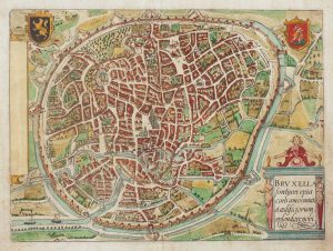
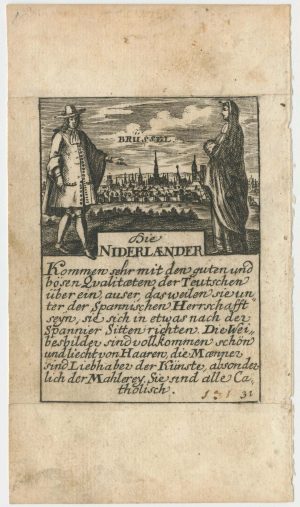
Early town plan of Brussels
GUICCIARDINI, Ludovico. Date: 1648Stock #: 15001 £220.00 -
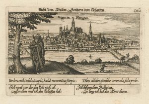
An unusual 17th century prospect of Mons
MEISNER, Daniel. Date: 1640Stock #: 24686 £100.00 -
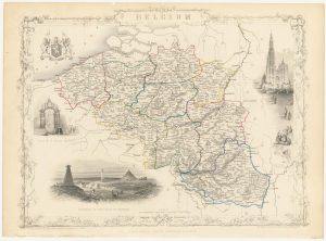
Mid 19th century map of Belgium with decorative vignettes
TALLIS, John. Date: 1851Stock #: 21637 £120.00 -
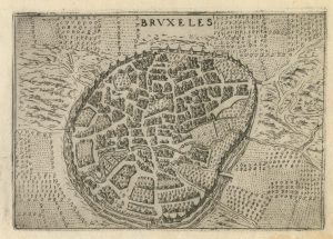
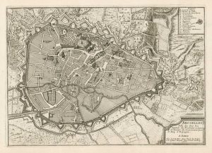
A 16th century town plan of Brussels
VALEGIO, Francesco. Date: 1598Stock #: 24202 £250.00 -
A town plan of Brussels just prior its capture by the French
LE ROUGE, Georges-Louis. Date: 1745Stock #: 24832 £450.00 -
A rare playing card of Brussels
Anonymous. Date: 1680Stock #: 25020 £320.00 -
Early 18th century plan of Brussels
FER, Nicolas de. Date: 1705Stock #: 18426 £250.00
Items by the same author
[ti_wishlists_addtowishlist]

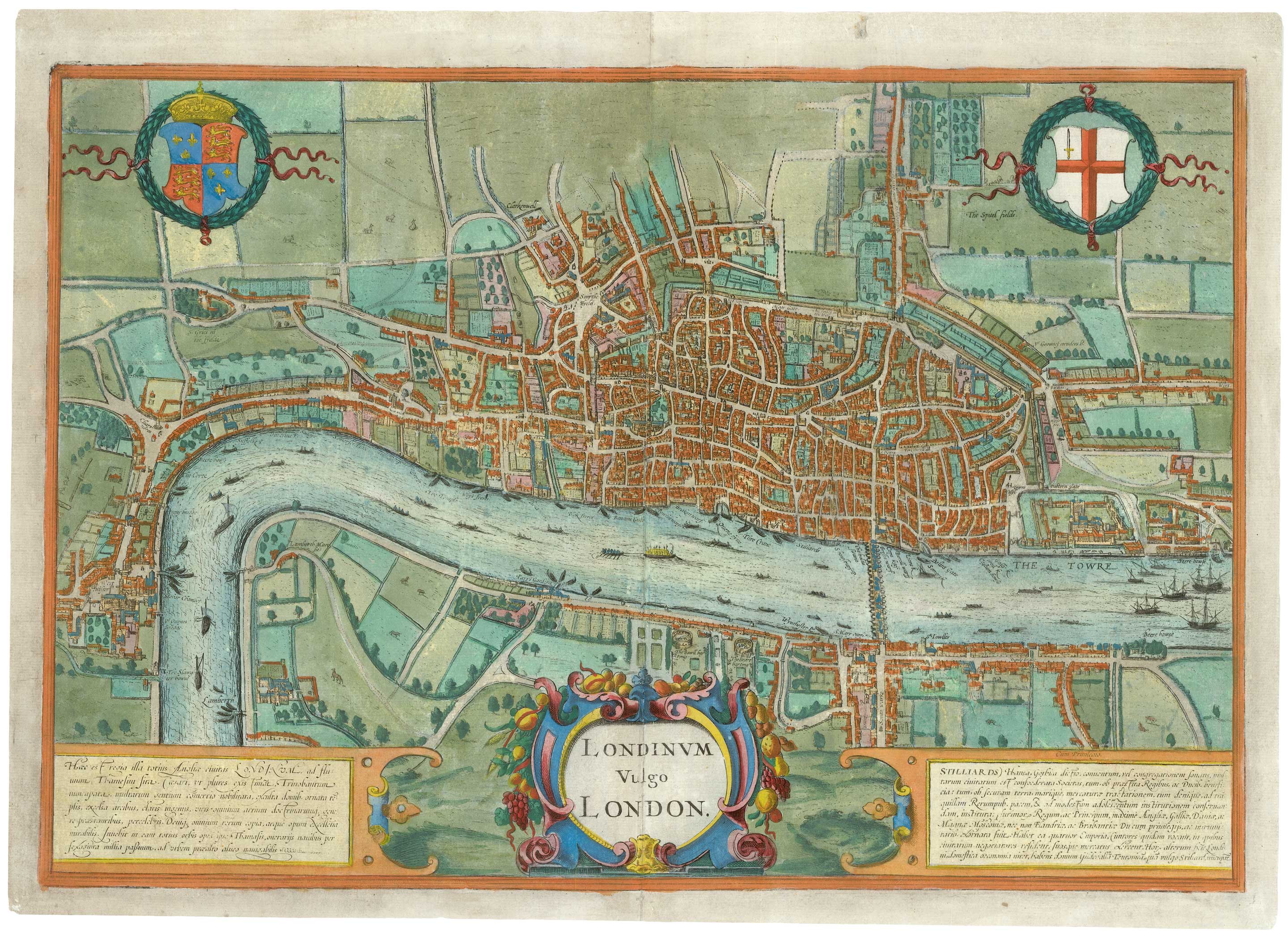
The elusive FIRST STATE of the earliest available printed map of London
BRAUN, Georg & HOGENBERG, Frans. Date: 1572 Stock #: 25592 £12,500.00
[ti_wishlists_addtowishlist]

[ti_wishlists_addtowishlist]
[ti_wishlists_addtowishlist]
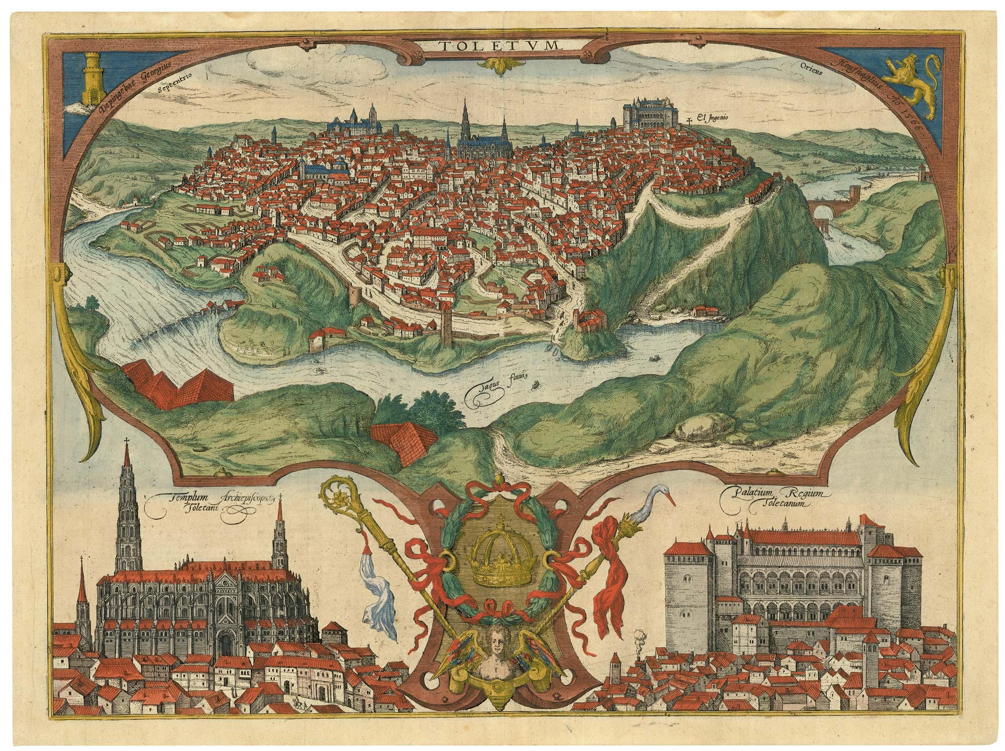
A spectacular 16th century view of Toledo
BRAUN, Georg & HOGENBERG, Frans. Date: 1598 Stock #: 25349 £1,400.00
[ti_wishlists_addtowishlist]
The rare Jansson edition of the earliest available map of London
BRAUN, Georg & HOGENBERG, Frans. Date: 1657 Stock #: 25199 £6,500.00
[ti_wishlists_addtowishlist]