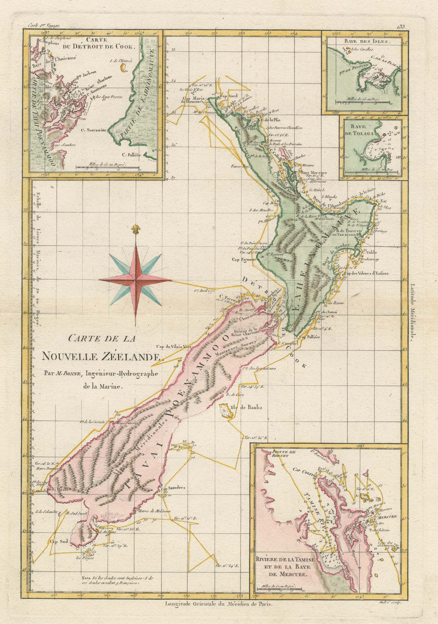


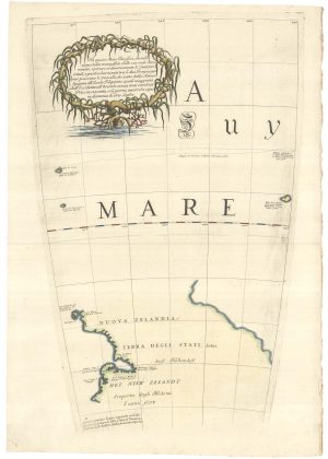
Cook’s mapping of New Zealand
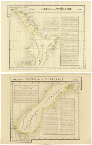
Carte De La Nouvelle Zéelande.
Paris, c.1778. Coloured. 360 x 240mm.
£750.00
Description
Finely engraved French chart based on Captain Cook's detailed survey of the islands, with four insets showing Mercury Bay, Cook's Strait, the Bay of Islands, and Tolaga Bay.
Condition:
A good example.Related products
-
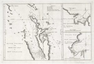
The first map of the Thames River in New Zealand
COOK, James. Date: 1773Stock #: 21095 £400.00 -
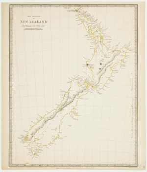
19th century English map of New Zealand
Society for the Diffusion of Useful Knowledge. Date: 1838Stock #: 16010 £250.00 -
Unusual pair of large-format maps of New Zealand
VANDERMAELEN, Philippe. Date: 1827Stock #: 21699 £1,500.00 -
A detailed sea chart of the environs of Manawaora in New Zealand
DUPERREY, Louis-Isidore. Date: 1731Stock #: 23959 £1,200.00 -
Cook’s landmark map of New Zealand
COOK, James. Date: 1773Stock #: 24762 £3,500.00 -
Large and detailed 19th century map of New Zealand
WYLD, James. Date: 1890Stock #: 22024 £1,800.00 -
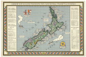
A rare poster map of New Zealand
GILL, Leslie MacDonald. Date: 1931Stock #: 25190 £10,000.00 -
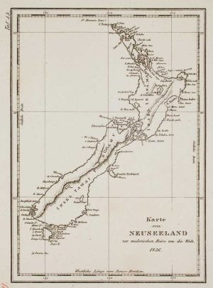
A German edition of Dumont d’Urville’s map of New Zealand
DUMONT D'URVILLE, Jules Sébastian César. Date: 1836Stock #: 17209 £285.00 -
The New Zealand gore from Coronelli’s 42 inch globe
CORONELLI, Vincenzo Maria. Date: 1693Stock #: 23716 £2,200.00
Items by the same author
[ti_wishlists_addtowishlist]
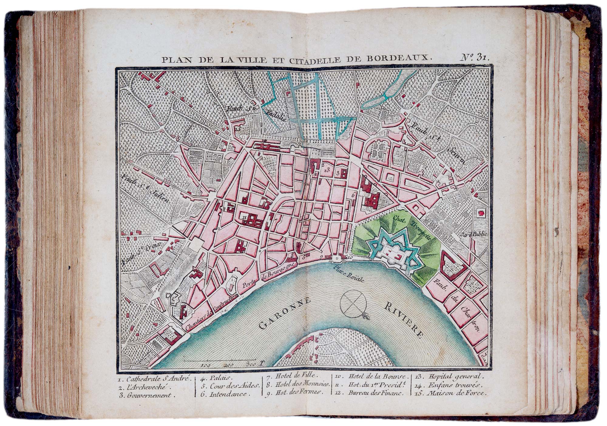
A fine 18th century miniature atlas of the coasts of France
BONNE, Rigobert. Date: 1778 Stock #: 21944 £2,700.00
[ti_wishlists_addtowishlist]
[ti_wishlists_addtowishlist]

Extremely rare Russian edition of Bonne's map of Europe
BONNE, Rigobert. Date: 1793 Stock #: 20509 £500.00
[ti_wishlists_addtowishlist]

Extremely rare Russian edition of Bonne's map of South America
BONNE, Rigobert. Date: 1793 Stock #: 20510 £650.00
[ti_wishlists_addtowishlist]

Extremely rare Russian edition of Bonne's map of Switzerland
BONNE, Rigobert. Date: 1793 Stock #: 20512 £650.00
[ti_wishlists_addtowishlist]