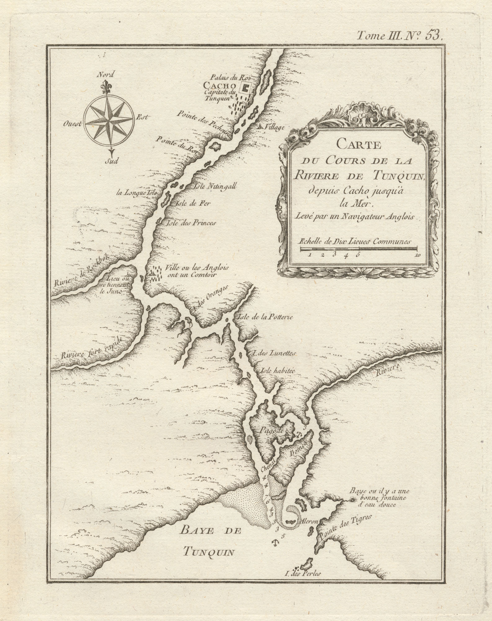


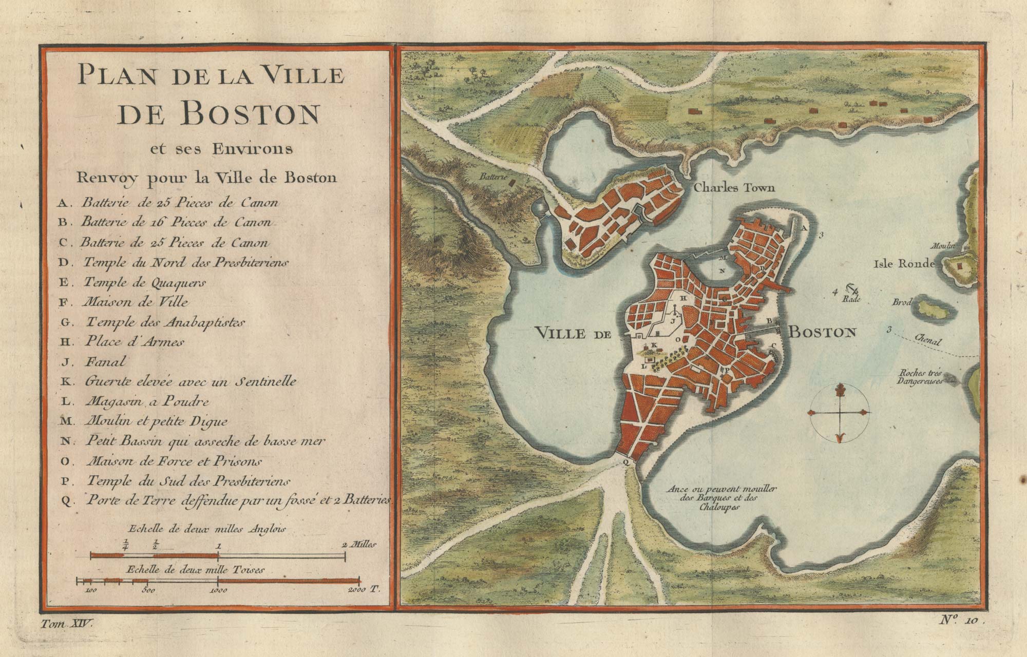
A chart of the Hong River, marking Hanoi
Carte du Cours de la Riviere de Tunquin depuis Cacho jusqu'à la Mer.
Paris, 1764. 230 x 180mm, with good margins.
£100.00
1 in stock
x
Question About This Item?
A chart of the Hong River, marking Hanoi & BELLIN, Jacques-Nicolas.Stock #: 20809Similar to Sell?
Description
A chart of the Hong River (or Red River) upstream to Hanoi, here marked 'Cacho' ('Ke Cho', 'marketplace', now the Old Quarter). To the south of Hanoi is a village where the English had established a trading post.
A scarce map, from the only edition of Bellin's atlas, 'Le Petit Atlas Maritime'.
Condition:
A good example.Related products
-
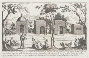
17th century Illustration of Temples and Pagodas in Tunquin
TAVERNIER, Jean-Baptiste. Date: 1678Stock #: 19916 £180.00 -
17th century Illustration of Temples and Pagodas in Tunquin
TAVERNIER, Jean-Baptiste. Date: 1678Stock #: 19917 £190.00 -
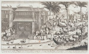
17th century Illustration of Tunquin
TAVERNIER, Jean-Baptiste. Date: 1678Stock #: 19921 £180.00 -

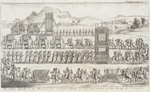
17th century Illustration of Tunquin Dignitaries
TAVERNIER, Jean-Baptiste. Date: 1678Stock #: 19919 £190.00
Items by the same author
[ti_wishlists_addtowishlist]
[ti_wishlists_addtowishlist]
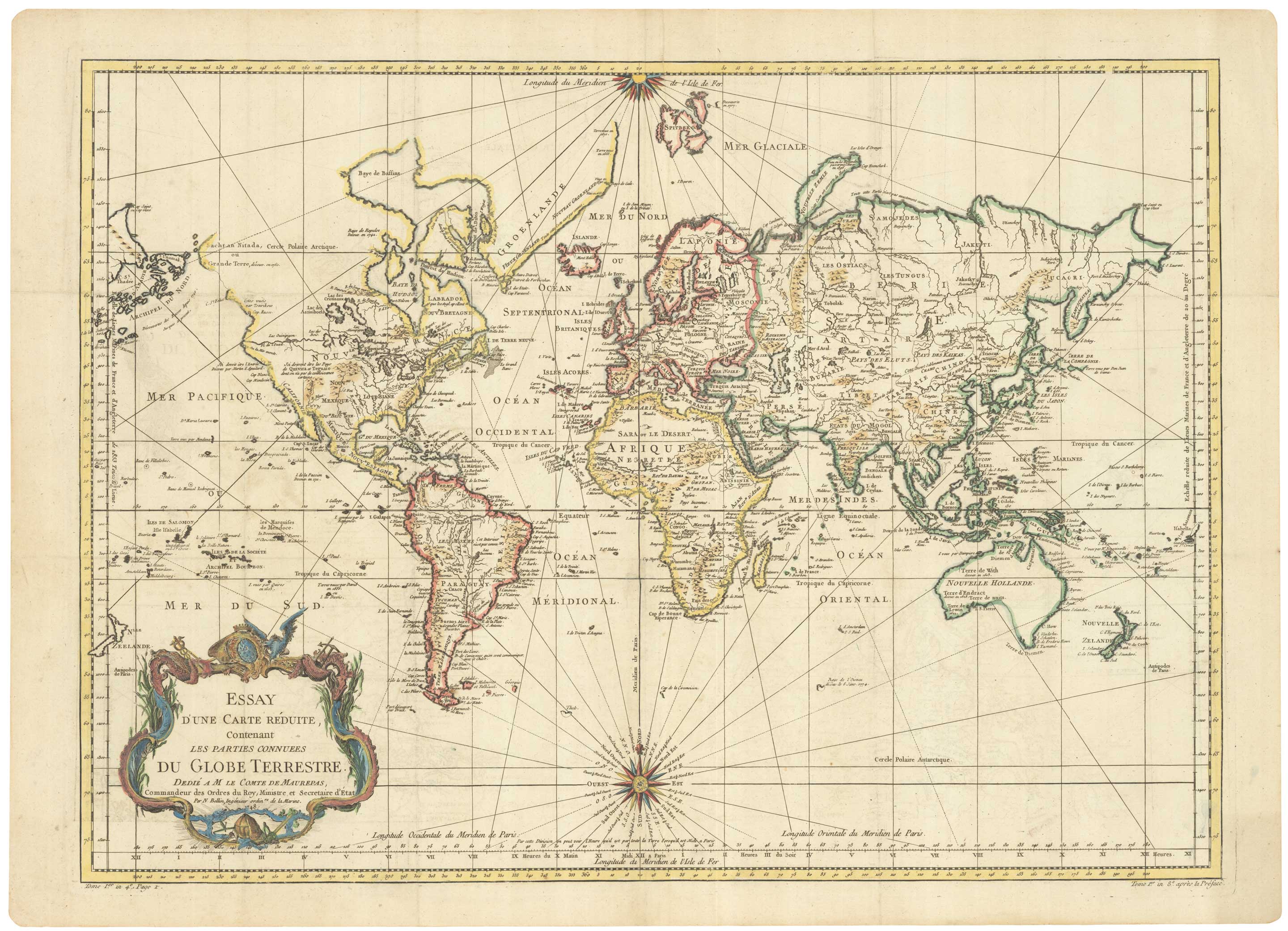
A large sea chart of the World on Mercator's Projection
BELLIN, Jacques-Nicolas. Date: 1775 Stock #: 25116 £1,600.00
[ti_wishlists_addtowishlist]
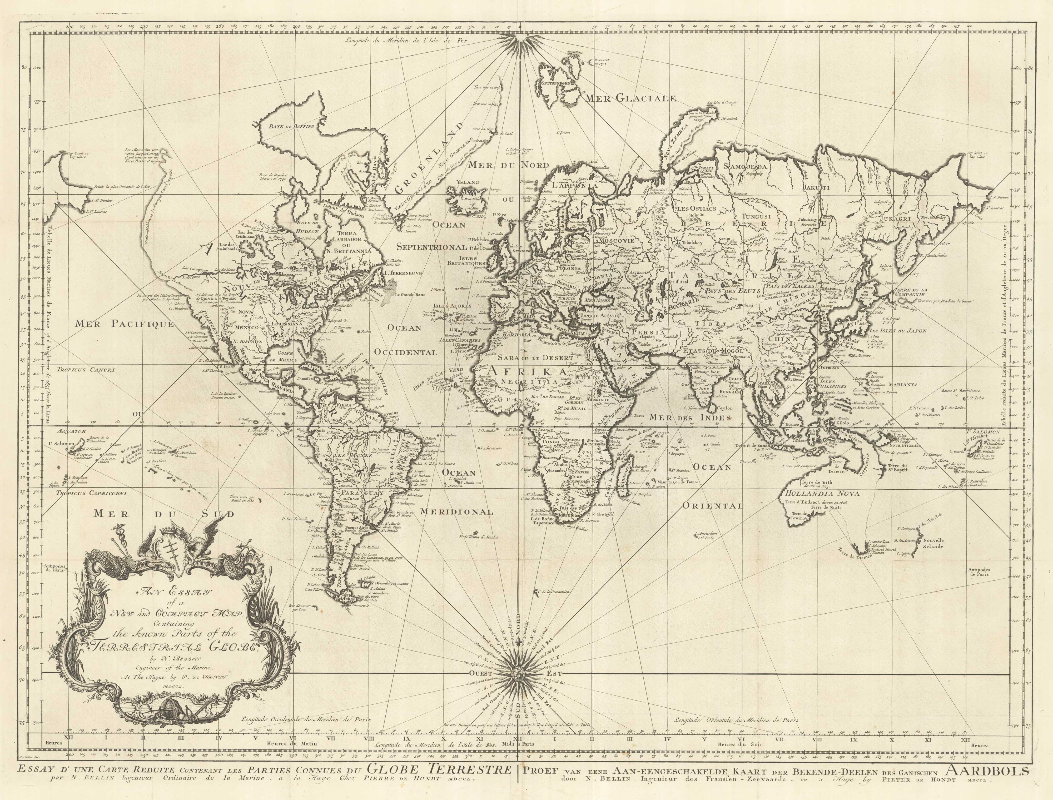
18th century nautical chart on Mercator's Projection
BELLIN, Jacques-Nicolas. Date: 1750 Stock #: 25151 £1,600.00
[ti_wishlists_addtowishlist]
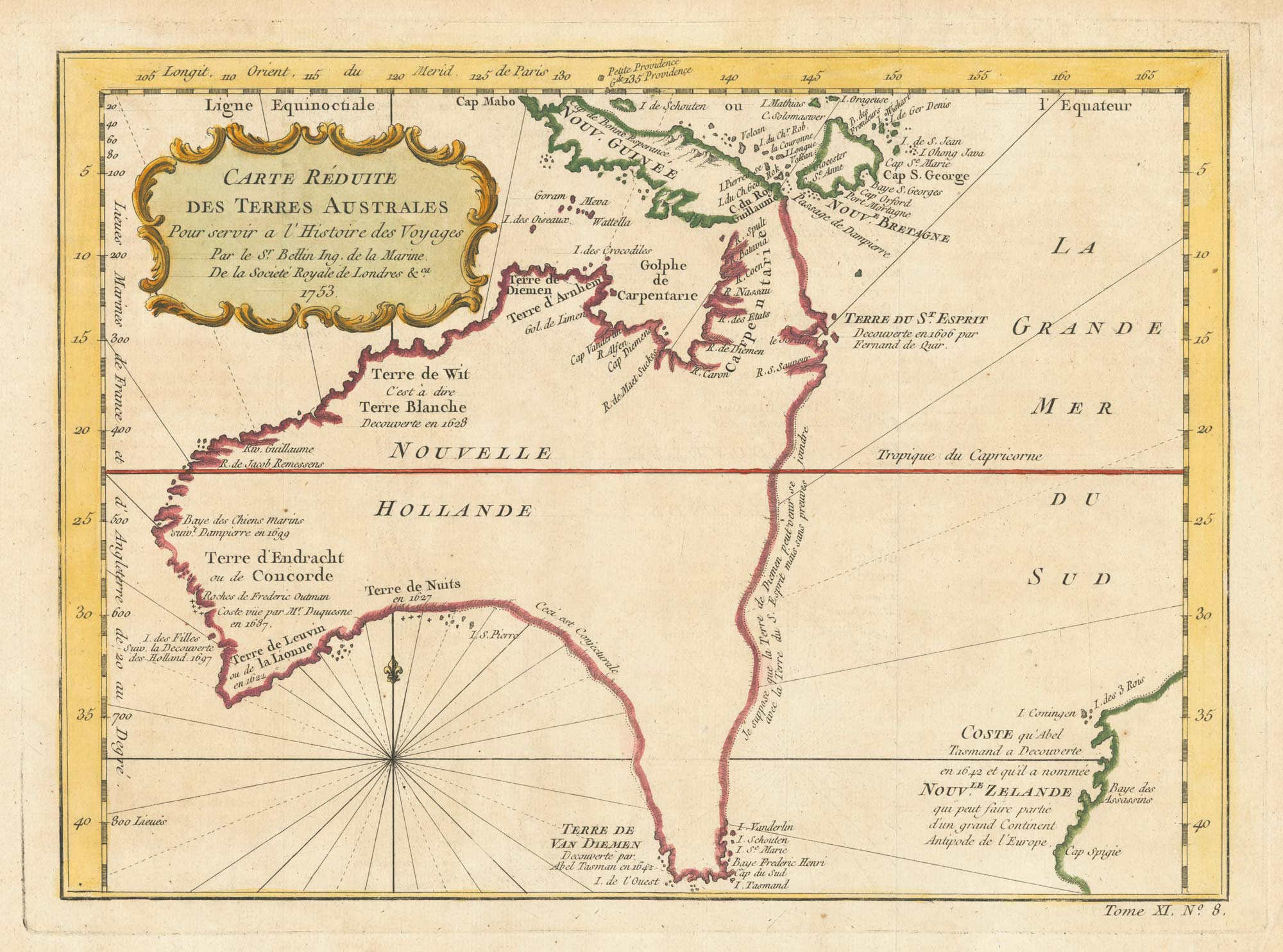
A pre-Cook discoveries map of Australia
BELLIN, Jacques-Nicolas. Date: 1753 Stock #: 25052 £1,000.00
[ti_wishlists_addtowishlist]
[ti_wishlists_addtowishlist]