Antique Maps of the United States
Showing 31–58 of 58 products
Sort by:
[ti_wishlists_addtowishlist]
[ti_wishlists_addtowishlist]
[ti_wishlists_addtowishlist]
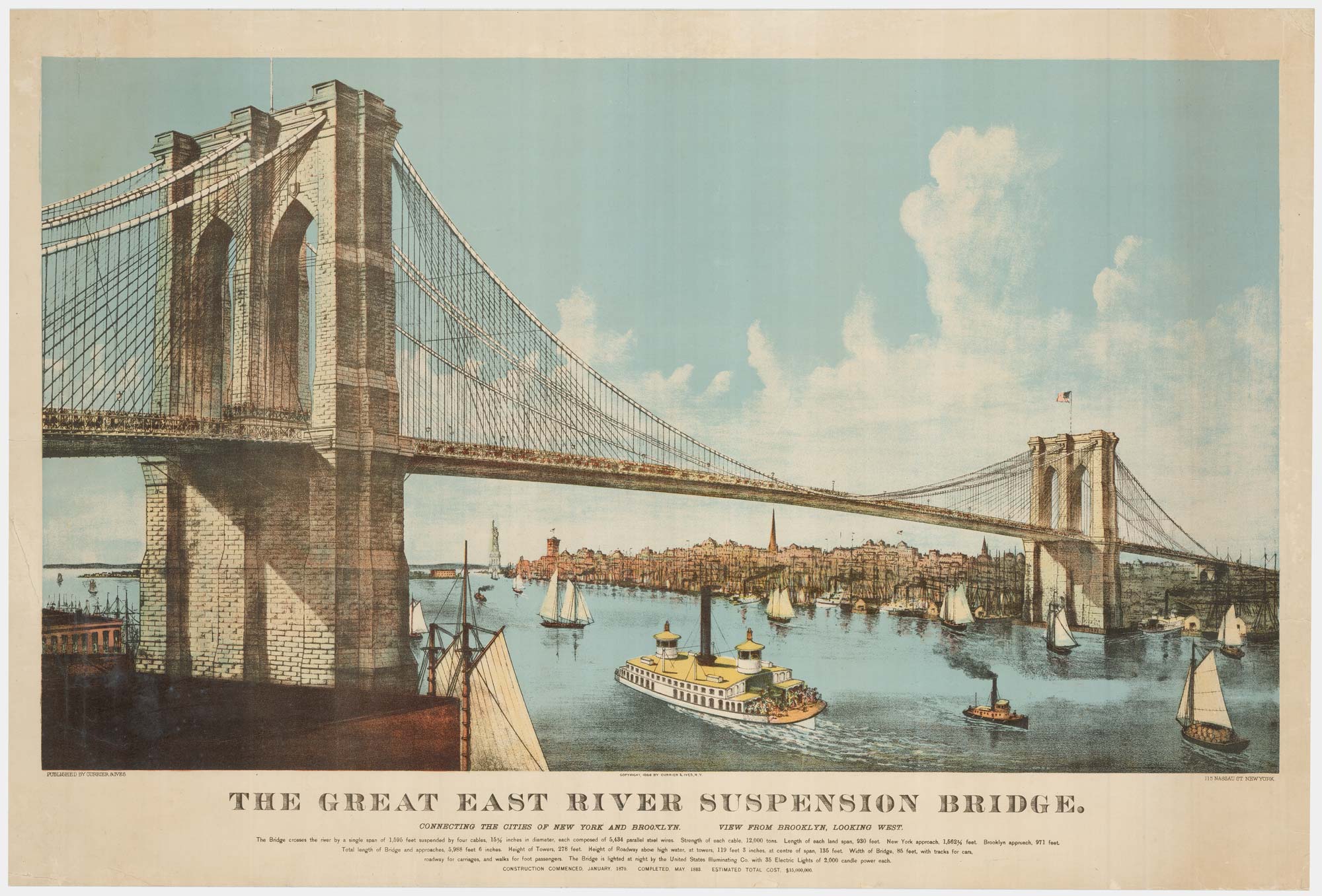
A large view of the newly-completed Brooklyn Bridge
CURRIER & IVES. Date: 1886 Stock #: 22791 £5,000.00
[ti_wishlists_addtowishlist]
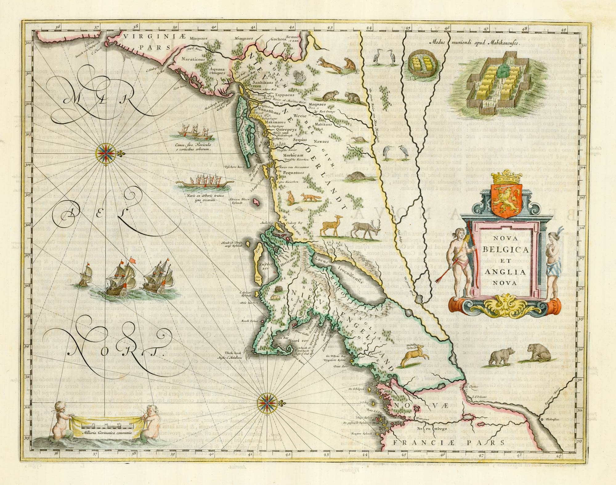
Classic C17th map of New England and New Netherlands
BLAEU, Willem Janszoon. Date: 1662 Stock #: 22719 £4,250.00
[ti_wishlists_addtowishlist]
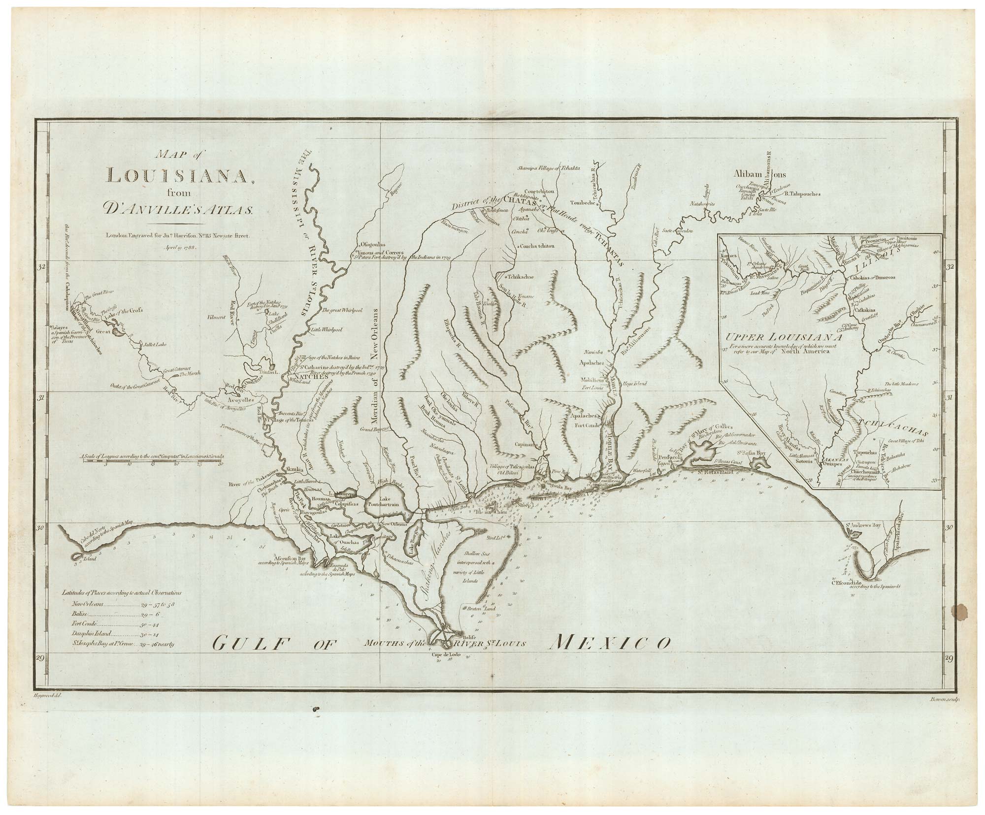
An English edition of an important map of the French colony of Louisiana
BOWEN, Thomas. Date: 1788 Stock #: 22642 £750.00
[ti_wishlists_addtowishlist]
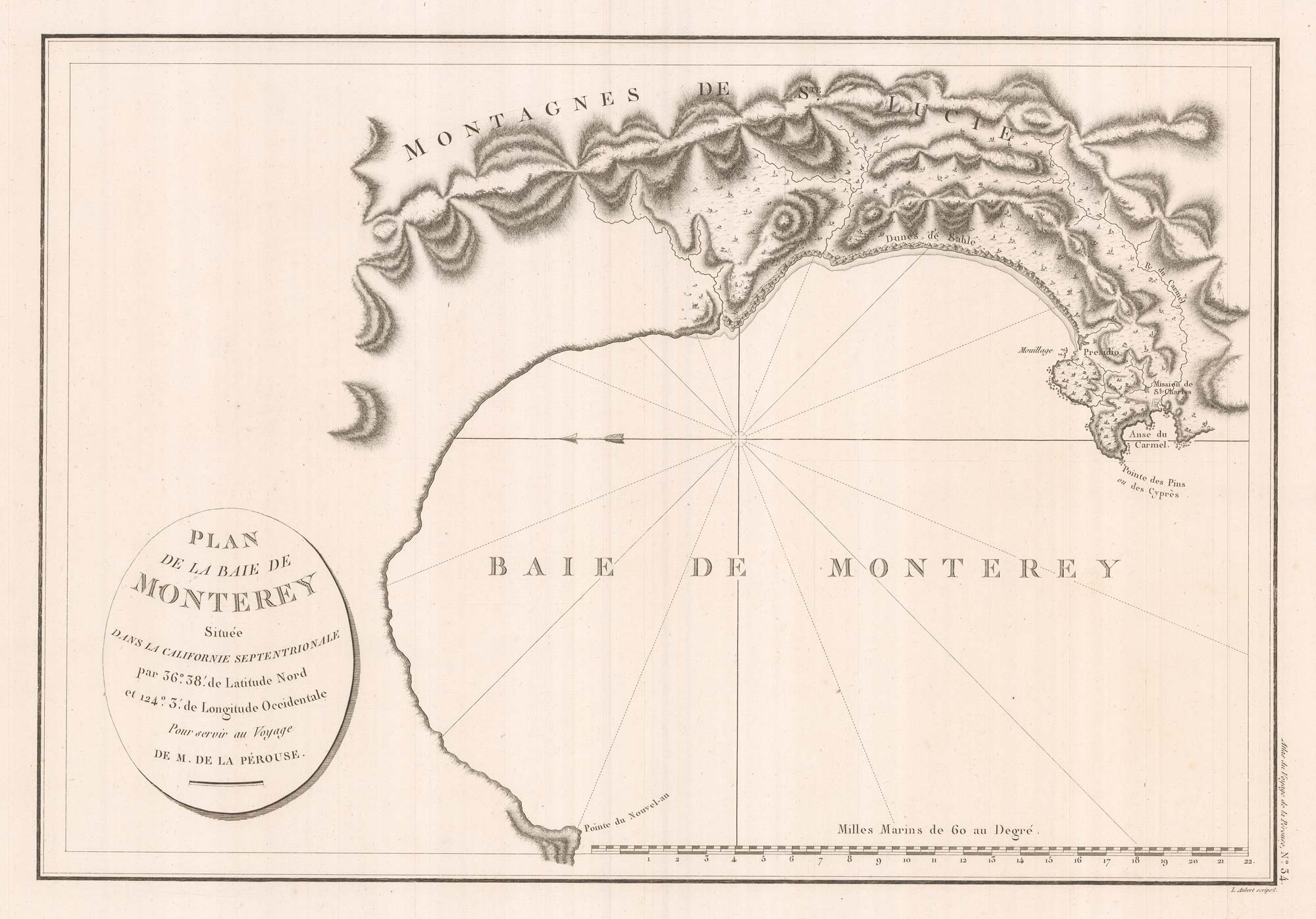
An early chart of Monterey Bay
LA PEROUSE, Jean-Francois de Galaup de. Date: 1797 Stock #: 22414 £400.00
[ti_wishlists_addtowishlist]
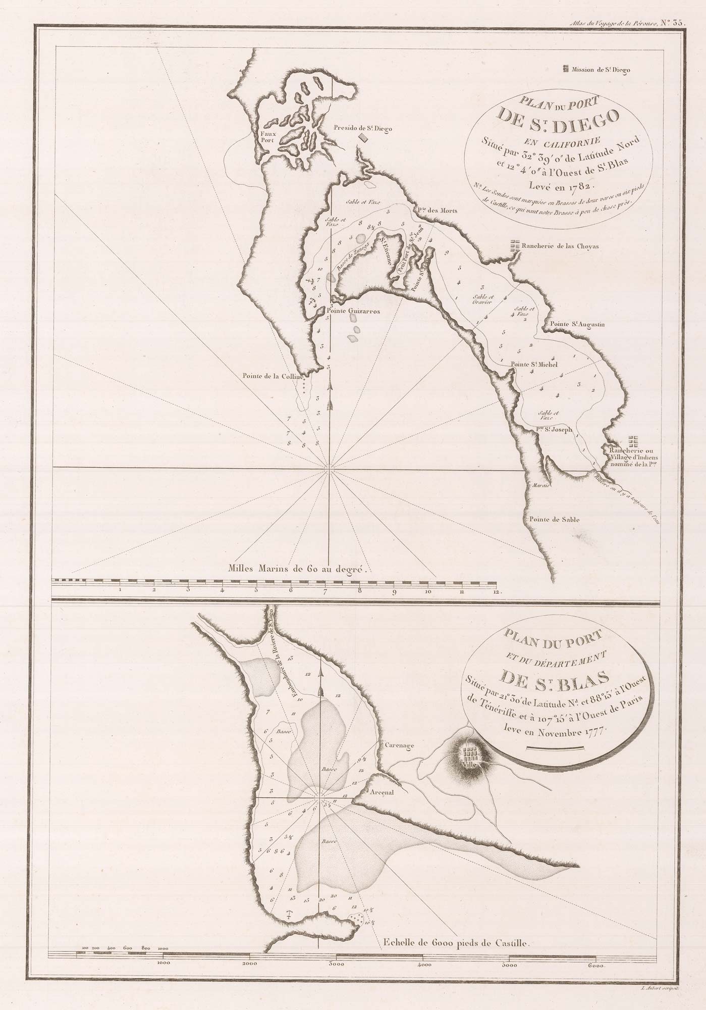
Early charts of San Diego and San Blas
LA PEROUSE, Jean-Francois de Galaup de. Date: 1797 Stock #: 22412 £340.00
[ti_wishlists_addtowishlist]
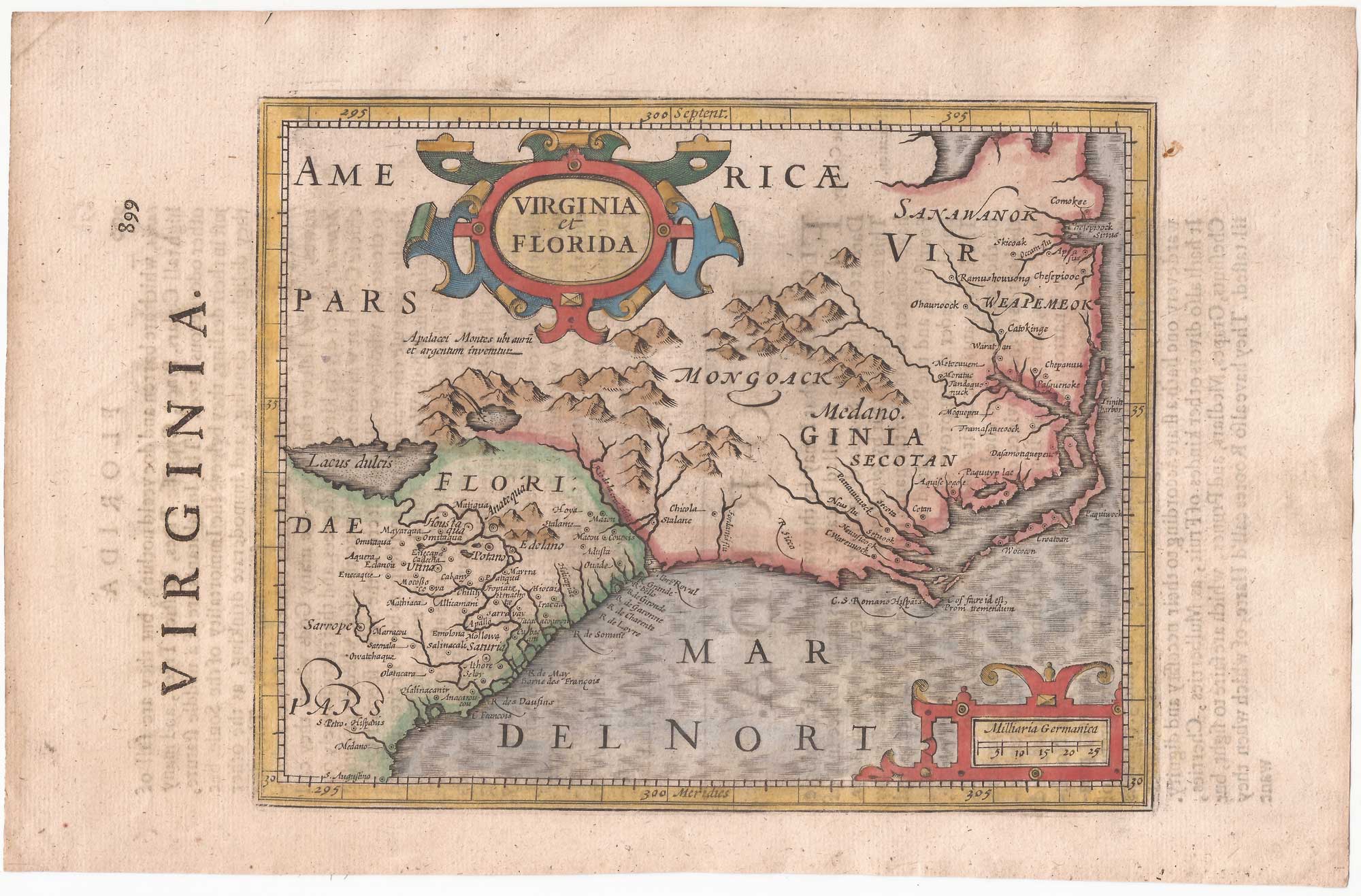
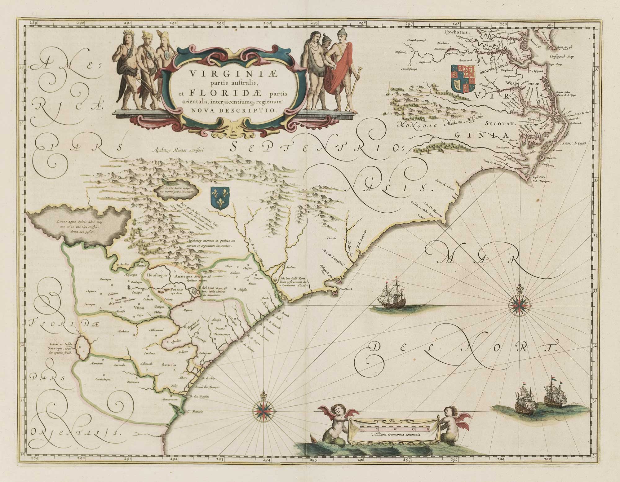
Virginia and Florida from the first English Edition of the 'Atlas Minor'
HONDIUS, Jodocus. Date: 1635 Stock #: 22380 £680.00
[ti_wishlists_addtowishlist]
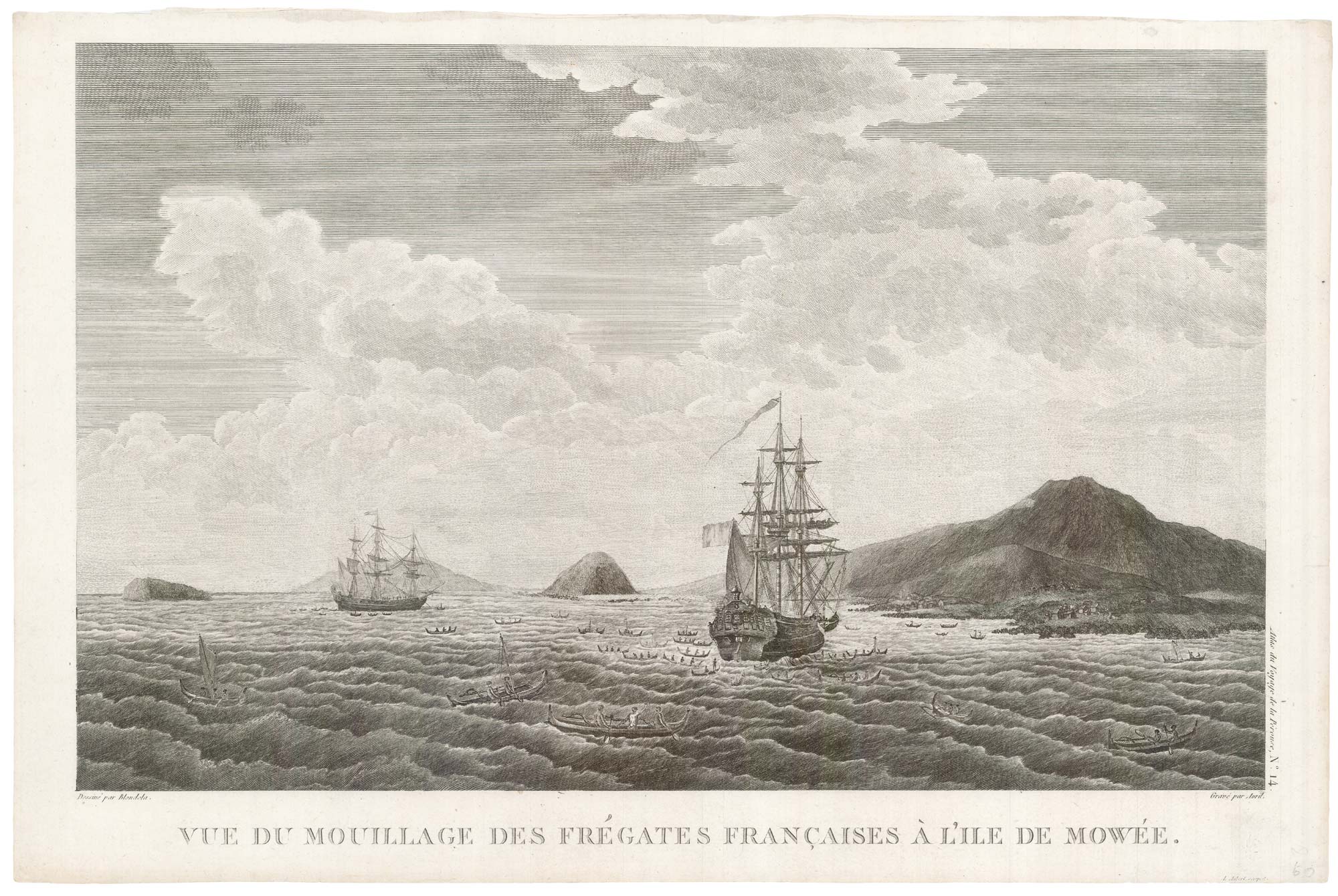
A view of La Pérouse's expedition at anchor off Maui
BLONDELA, Francois Michel. Date: 1797 Stock #: 22416 £400.00
[ti_wishlists_addtowishlist]
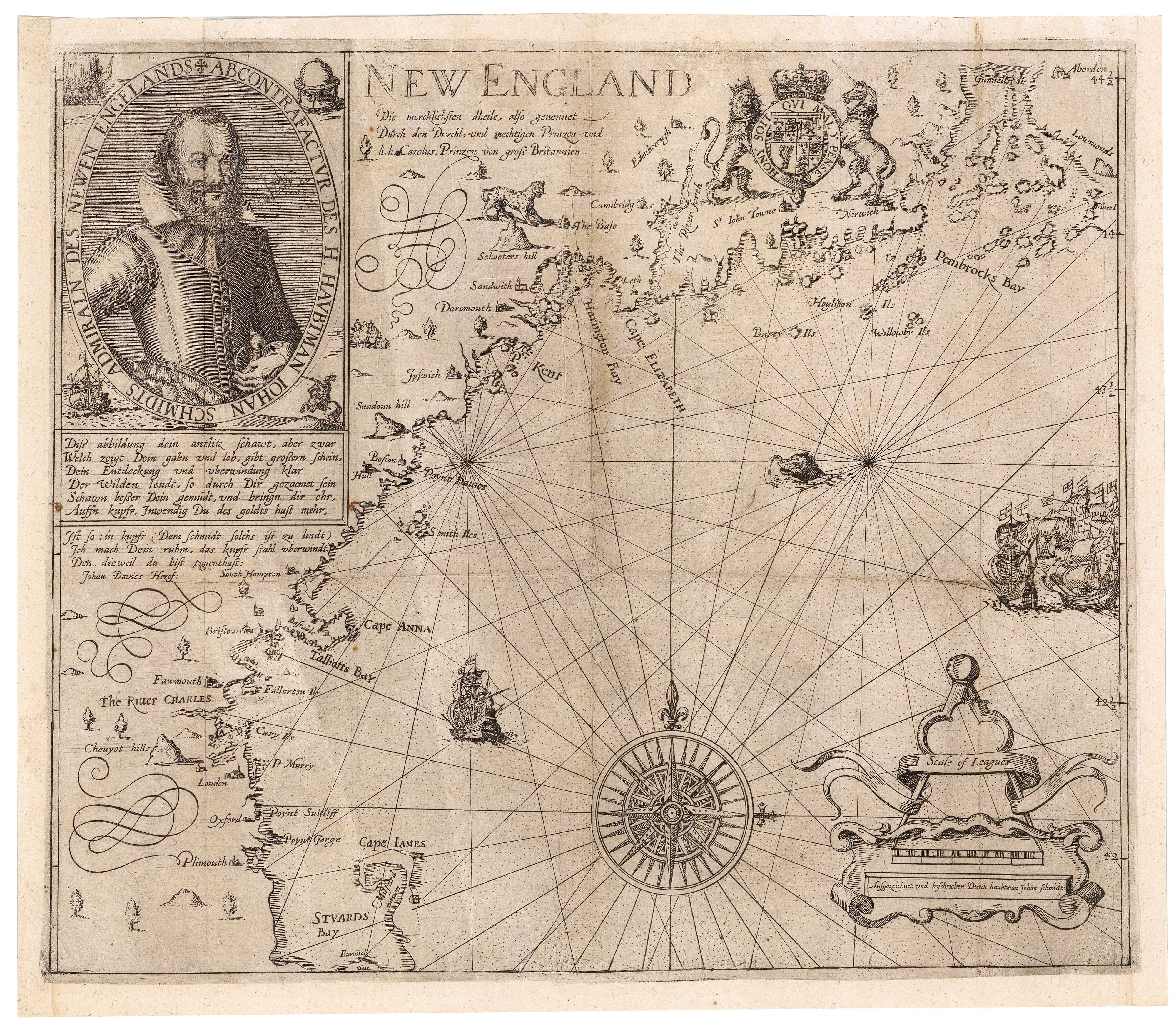
A rare German edition of John Smith's map of New England
SMITH, John. Date: 1617 Stock #: 21888 £8,000.00
[ti_wishlists_addtowishlist]

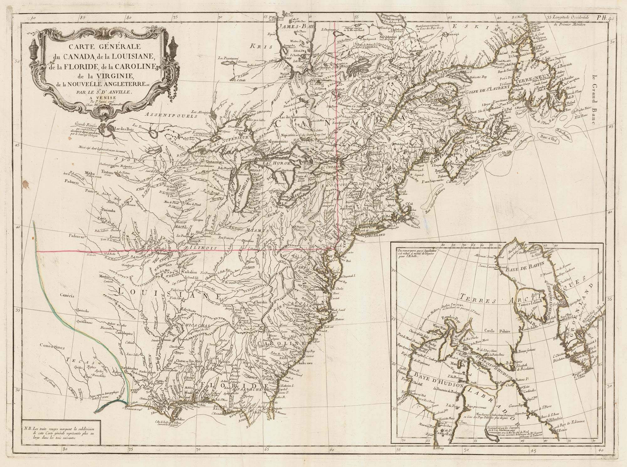
The French exploration of Louisiana at the beginning of the 18th century
ANVILLE, Jean Baptiste B. D'. Date: 1752 Stock #: 21854 £1,600.00
[ti_wishlists_addtowishlist]
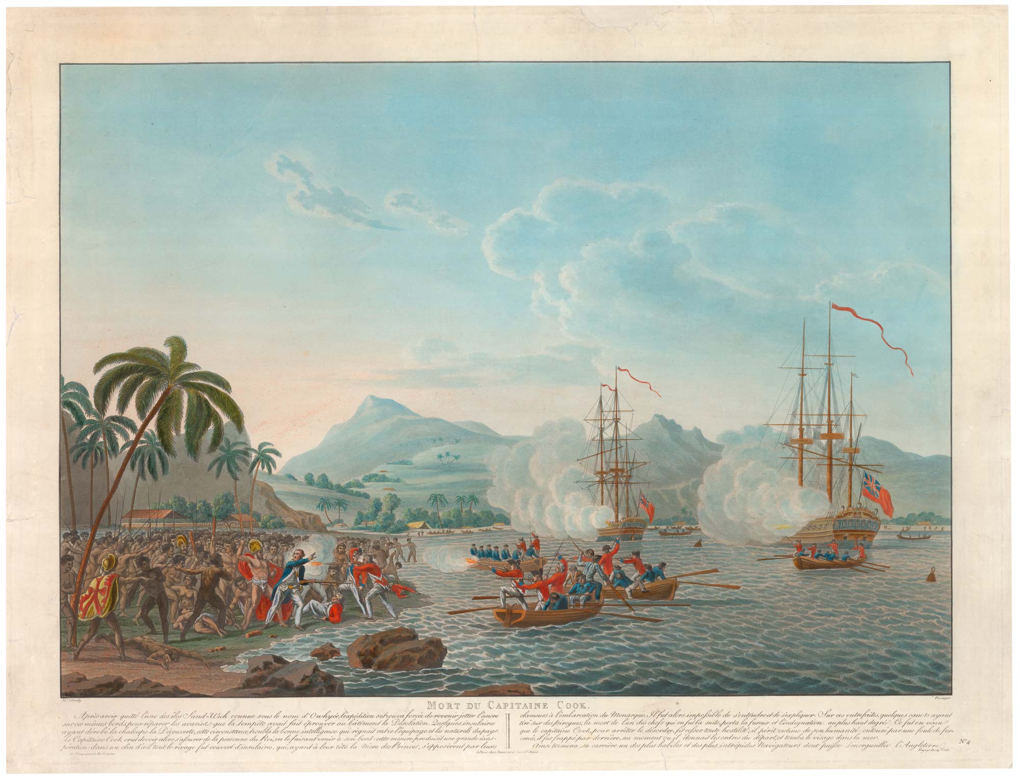
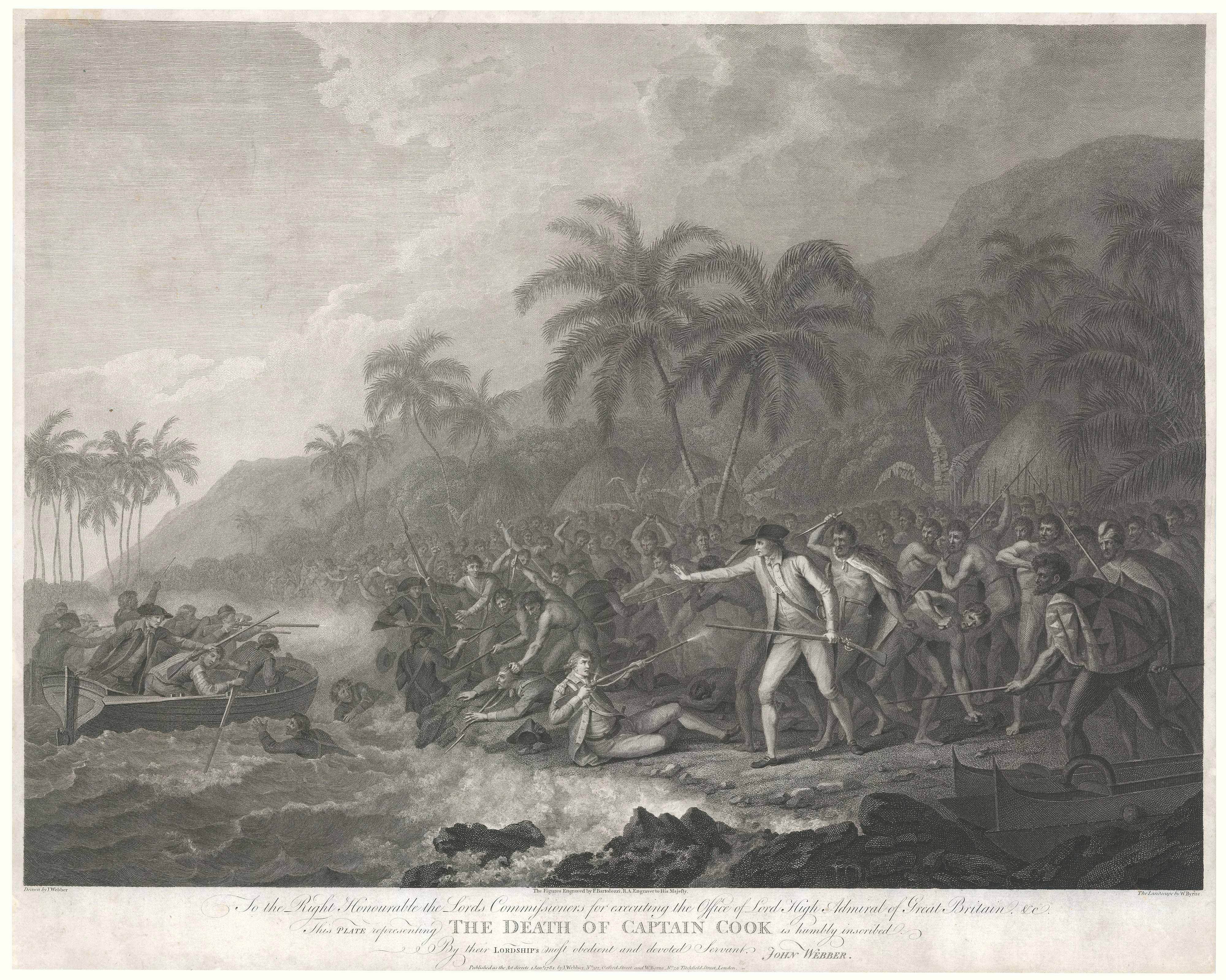
A French edition of Cleveley's famous 'Death of Cook' scene
CLEVELEY, James & John. Date: 1790 Stock #: 20359 £5,000.00
[ti_wishlists_addtowishlist]
[ti_wishlists_addtowishlist]
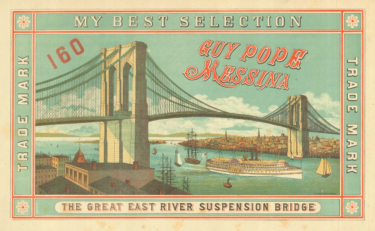
Scarce advertising orange crate label featuring Brooklyn Bridge
Anonymous. Date: 1885 Stock #: 20527 £750.00
[ti_wishlists_addtowishlist]
[ti_wishlists_addtowishlist]
[ti_wishlists_addtowishlist]

[ti_wishlists_addtowishlist]
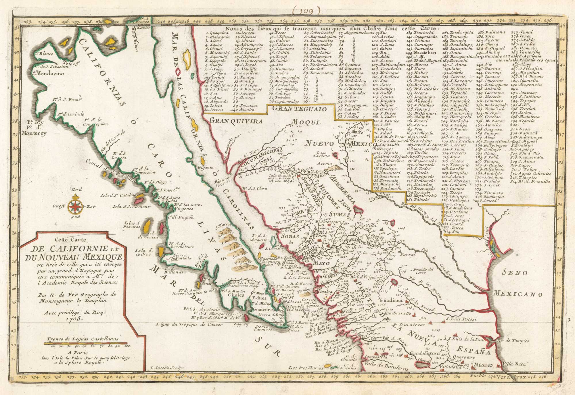
18th century French map of California as an Island
FER, Nicolas de. Date: 1700 Stock #: 18883 £920.00
[ti_wishlists_addtowishlist]

A British military atlas for the American War of Independence
SAYER, Robert & BENNETT, John. Date: 1776 Stock #: 18436 £16,000.00
[ti_wishlists_addtowishlist]
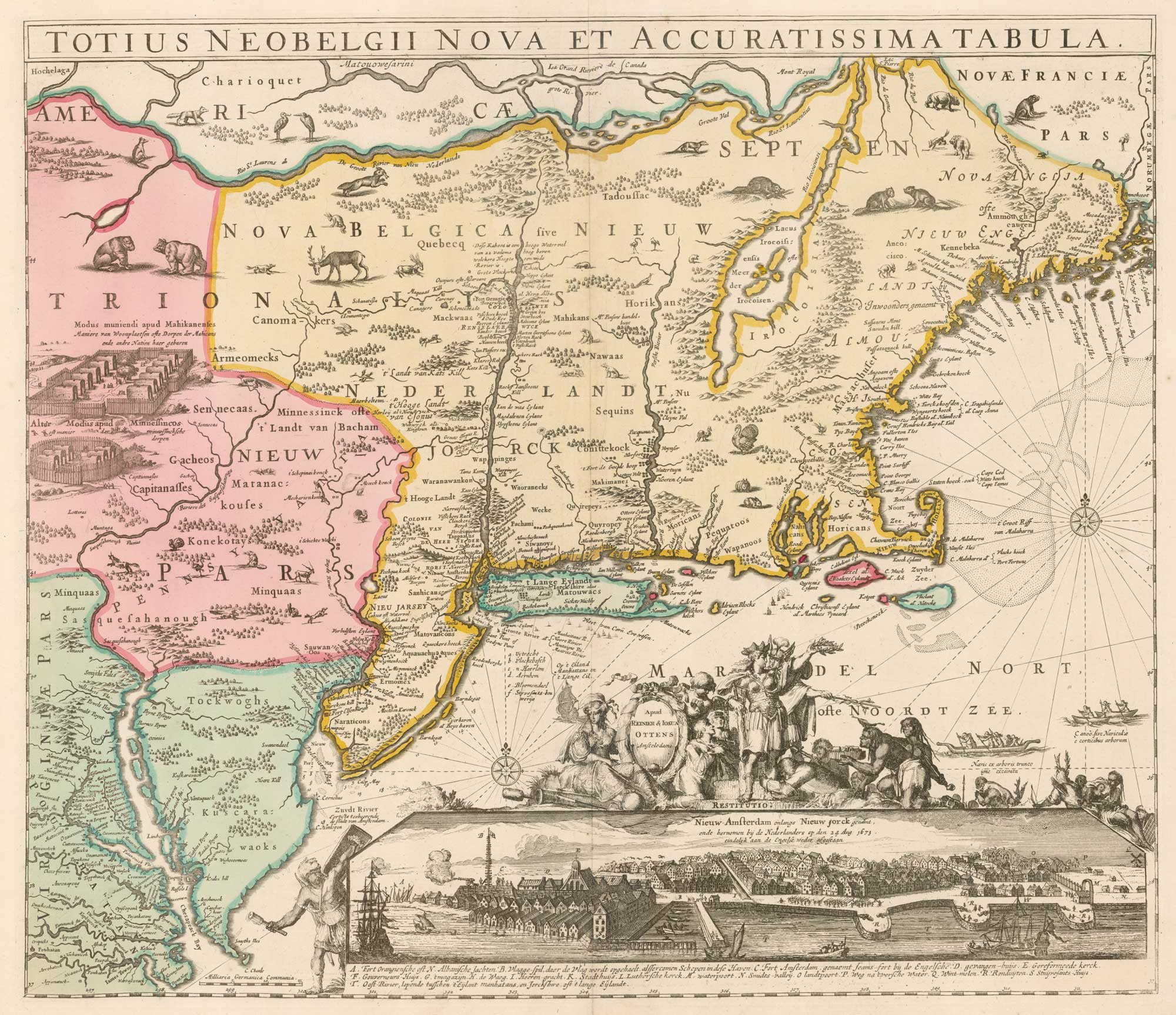
The Eastern Seaboard with the 'Restitutio' view of New York
ALLARD, Hugo. Date: 1725 Stock #: 18268 £8,000.00
[ti_wishlists_addtowishlist]
[ti_wishlists_addtowishlist]
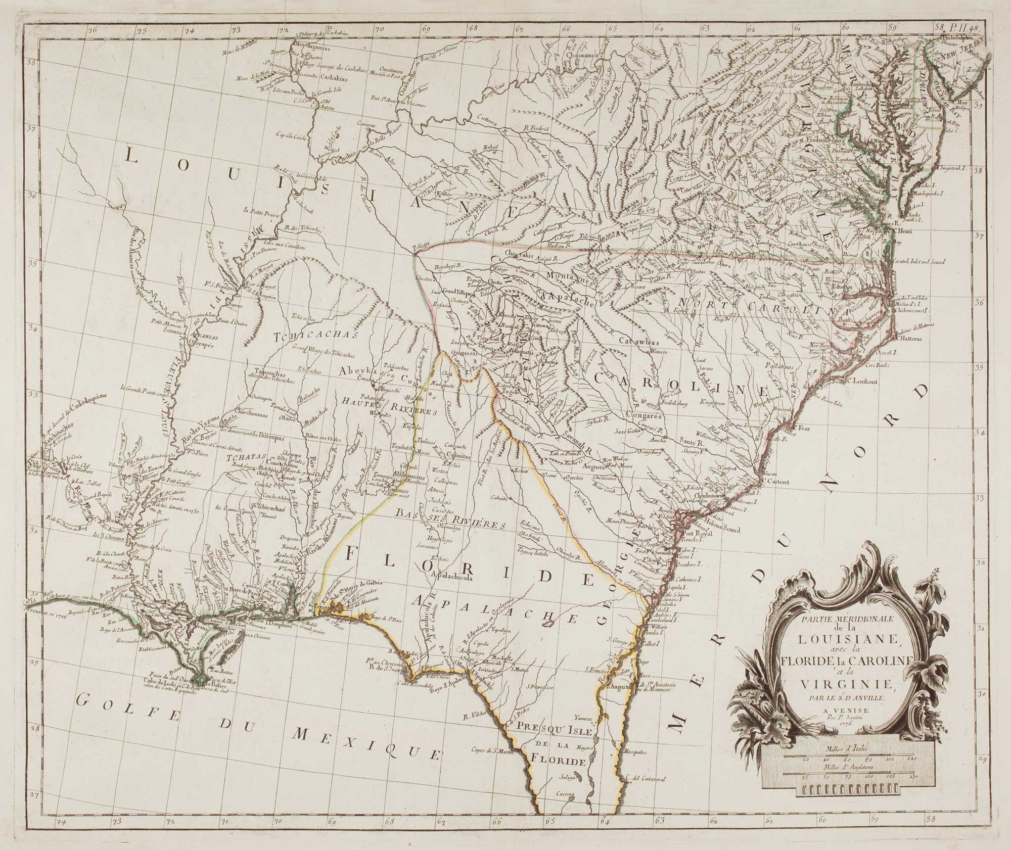
18th century map of the American South East
SANTINI, Francesco & Paolo. Date: 1776 Stock #: 9346 £500.00
[ti_wishlists_addtowishlist]
[ti_wishlists_addtowishlist]
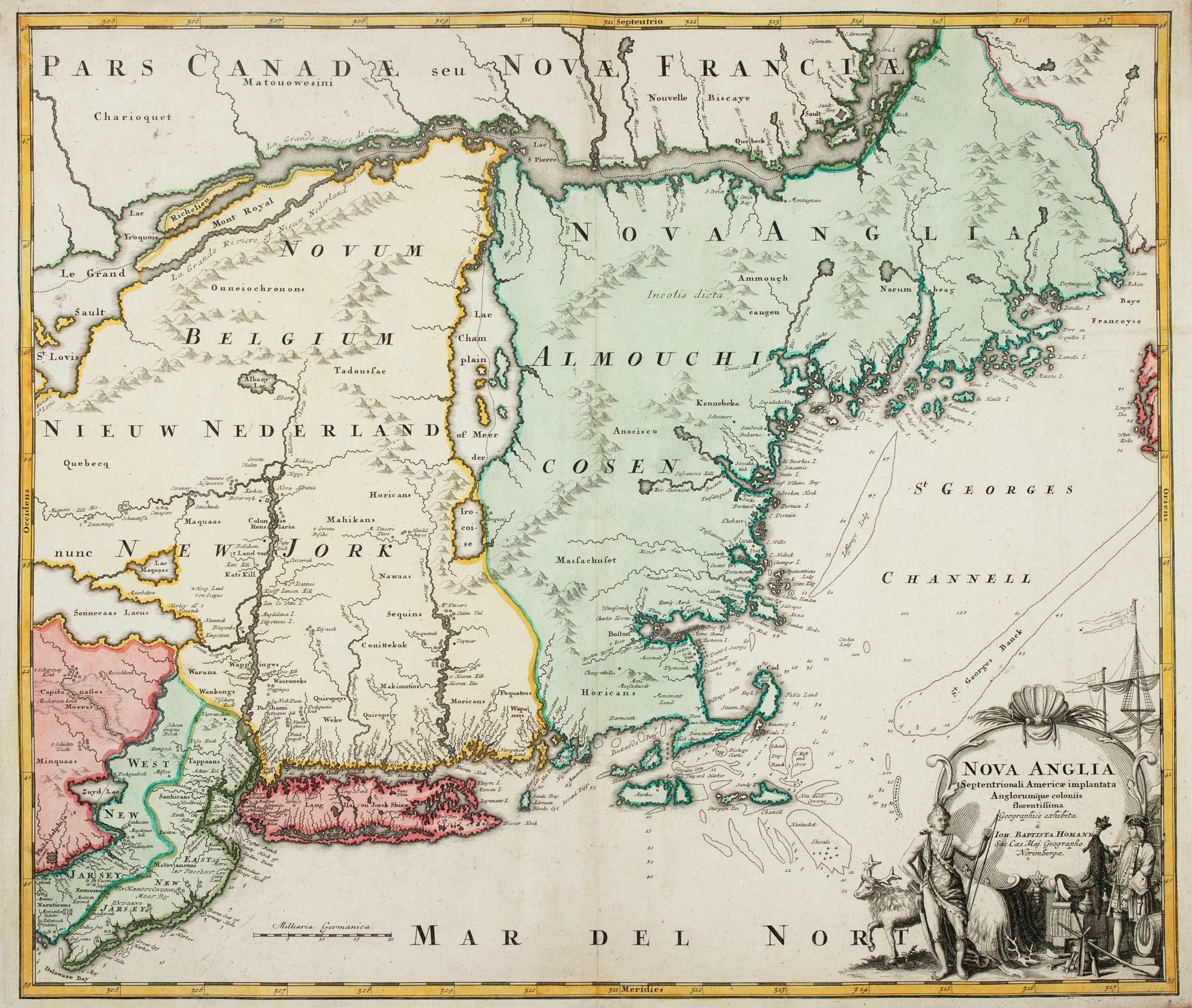
The English colonies on the north-east seaboard of America
HOMANN, Johann Baptist. Date: 1725 Stock #: 11207 £1,450.00
[ti_wishlists_addtowishlist]
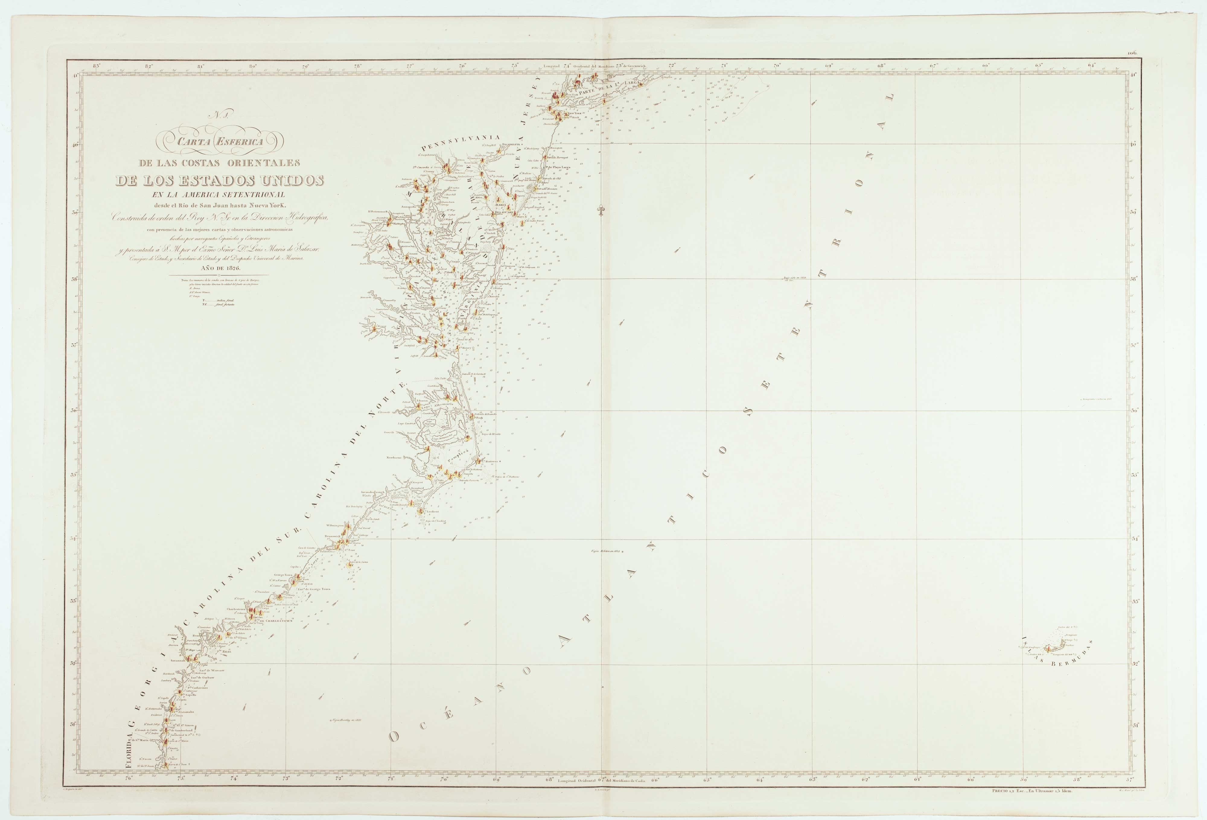
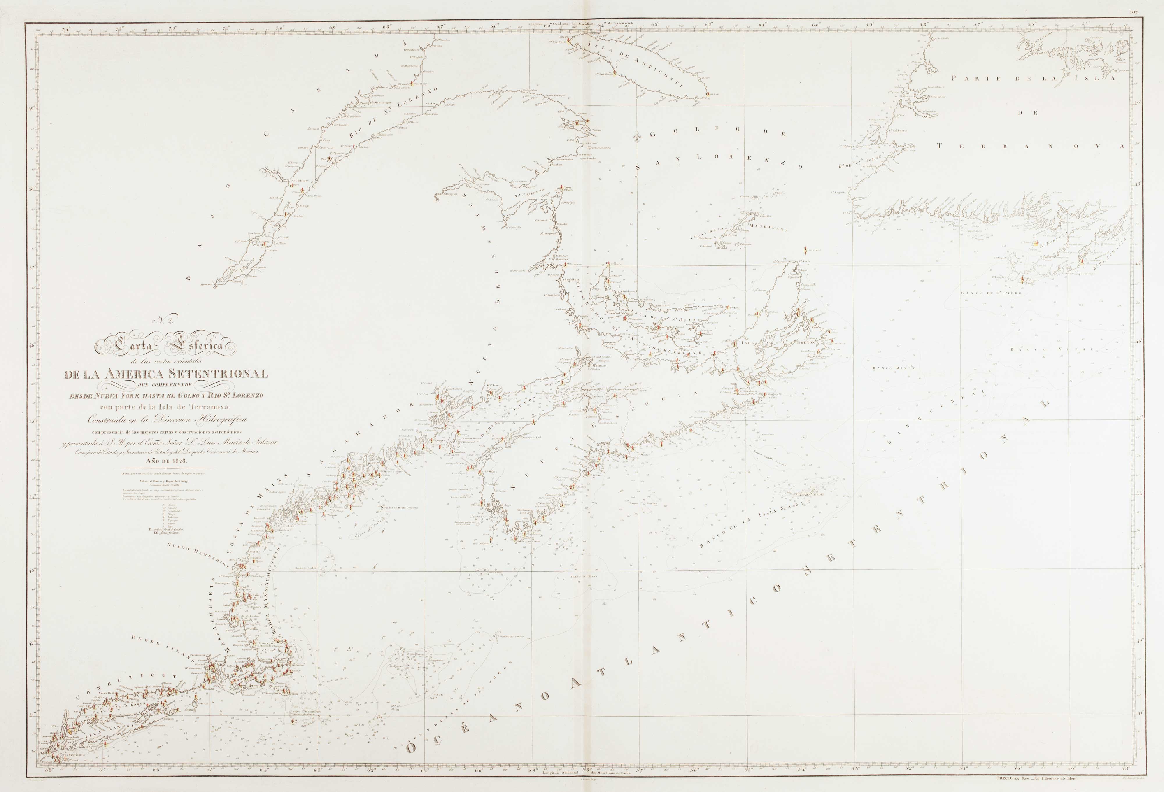
An uncommon Spanish sea chart of the Eastern Seaboard
NOGUERA, C. Date: 1860 Stock #: 11858 £1,700.00
[ti_wishlists_addtowishlist]

[ti_wishlists_addtowishlist]
[ti_wishlists_addtowishlist]