Antique Maps by JEFFERYS, Thomas.
Showing 1–6 of 6 products
Sort by:
[ti_wishlists_addtowishlist]
[ti_wishlists_addtowishlist]
[ti_wishlists_addtowishlist]
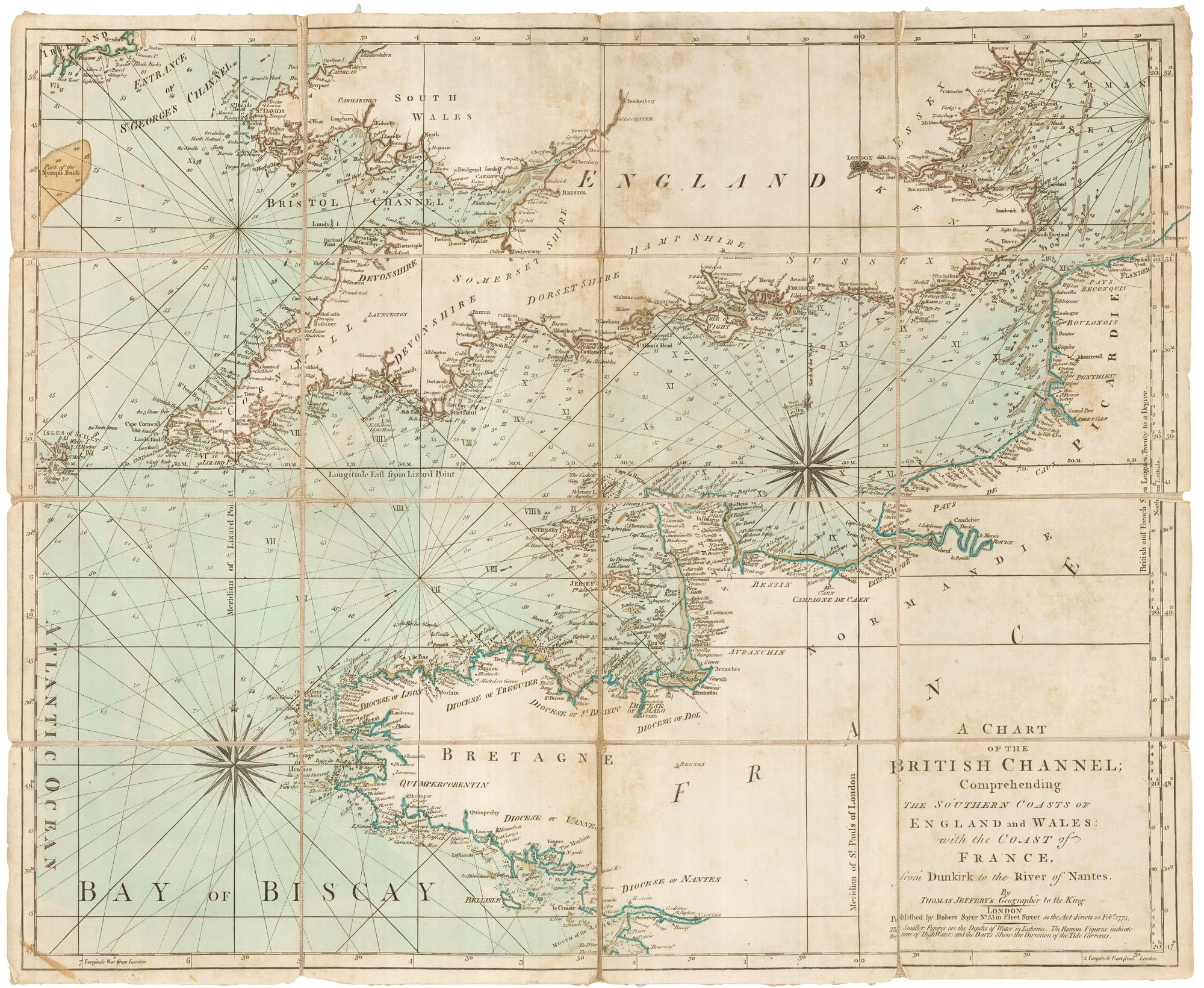
An 18th century sea chart of the English Channel
JEFFERYS, Thomas. Date: 1775 Stock #: 23417 £450.00
[ti_wishlists_addtowishlist]
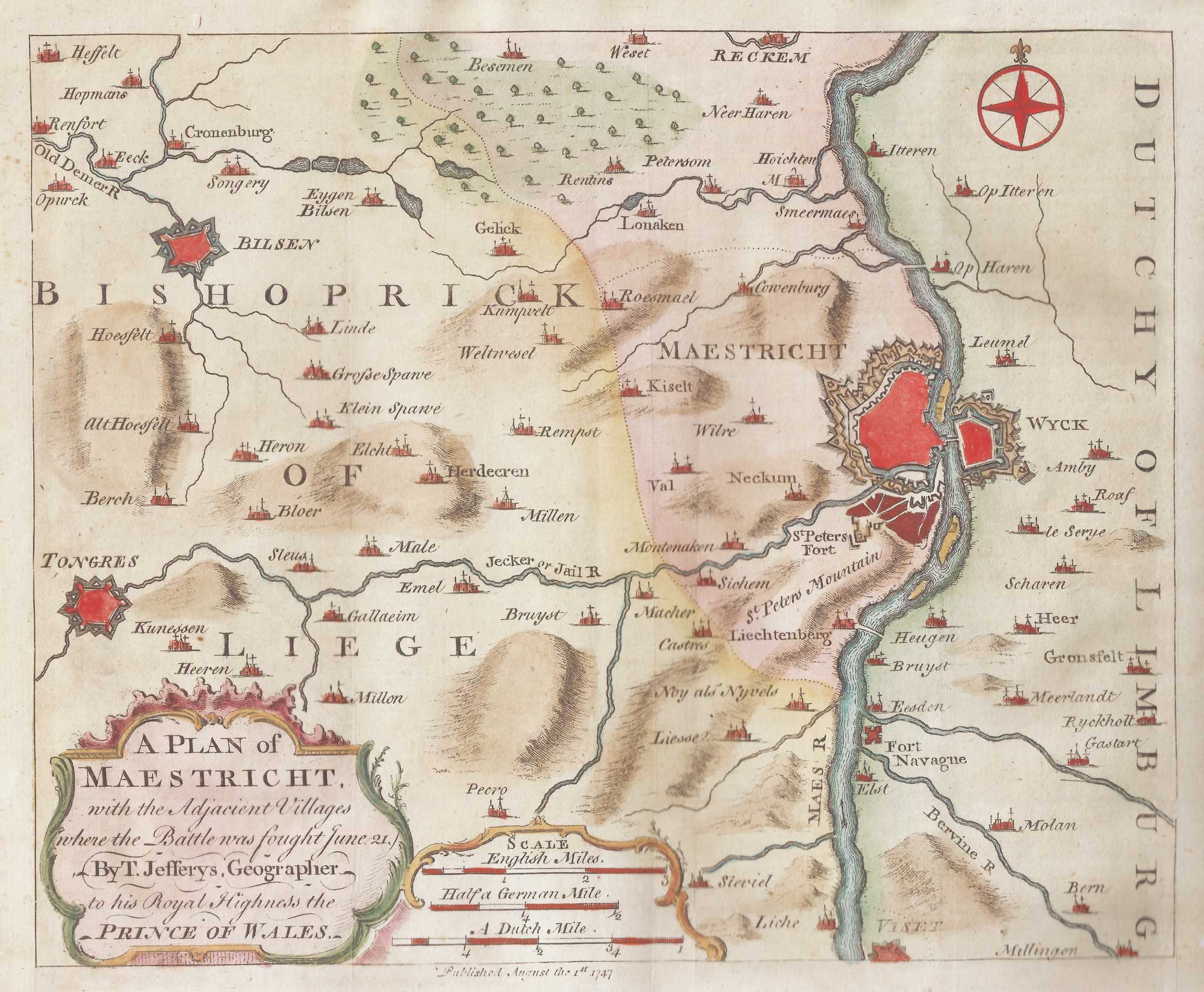
The environs of Maastricht and the Battle of Lauffeldt
JEFFERYS, Thomas. Date: 1747 Stock #: 21641 £140.00
[ti_wishlists_addtowishlist]
[ti_wishlists_addtowishlist]