Antique Maps by BRYANT, Tomas.
Showing 1–4 of 4 products
Sort by:
[ti_wishlists_addtowishlist]
[ti_wishlists_addtowishlist]
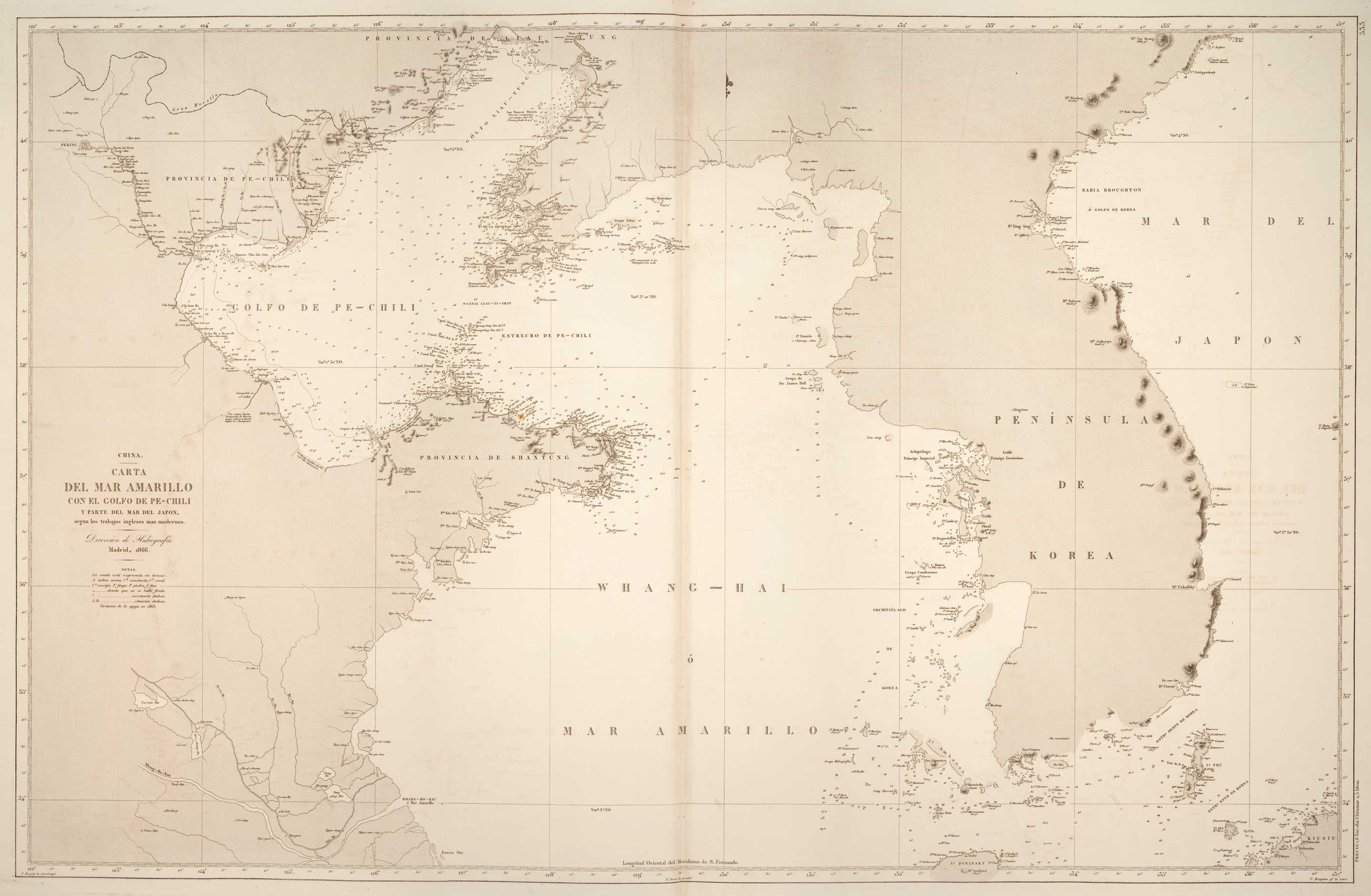
19th century Spanish sea chart of the Yellow Sea and Korea
BRYANT, Tomas. Date: 1866 Stock #: 12450 £2,200.00
[ti_wishlists_addtowishlist]
[ti_wishlists_addtowishlist]