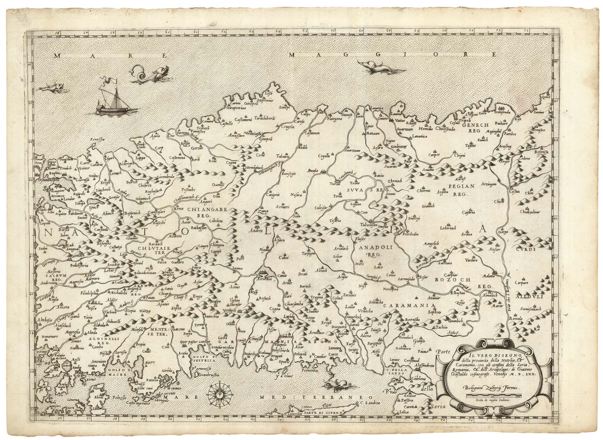


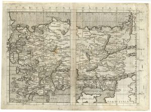
A 16th century separate-issue map of Turkey
Il Vero Disegno della provincia della Natolia, & Caramania, con gli confini della Soria, Romagna, & dell'Archipelago; di Giacomo Gastaldo cosmografo. Venetijs M.D. LXX.
Venice: Zaltieri, 1570. 340 x 455mm.
£3,600.00
1 in stock
x
Question About This Item?
A 16th century separate-issue map of Turkey & ZALTIERI, Bolognino.Stock #: 25249Similar to Sell?
Description
A scarce map of Turkey, based on Giacomo Gastaldi's map of 1564, but not showing as much of the neighbouring countries as the original, while retaining the title. Constantinople appears on the left edge and only northern Cyprus is shown. In the seas are four sea monsters and a gallery.
Condition:
A very fine example.References:
BIFOLCO & RONCA: 167, no known reprinting.Related products
-
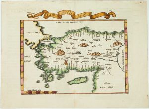
The 16th century Wäldseemüller/Fries map of ‘Modern’ Turkey
WALDSEEMULLER, Martin. Date: 1535Stock #: 16996 £950.00 -
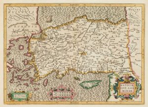
A map of Classical Turkey and Cyprus
SANSON, Nicolas. Date: 1731Stock #: 17597 £650.00 -
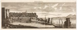
A prospect of Antalya in the 17th century by a professional artist
BRUYN, Cornelis de. Date: 1714Stock #: 23089 £220.00 -
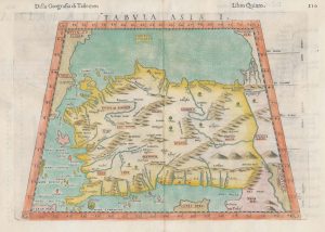
A 16th century map of Turkey according to Claudius Ptolemy
RUSCELLI, Girolamo. Date: 1598Stock #: 20498 £250.00 -
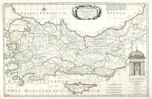
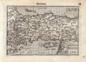
17th century map of Turkey with Cyprus
HONDIUS, Jodocus. Date: 1628Stock #: 16468 £550.00 -
A 16th century miniature map of Turkey
LANGENES, Barent. Date: 1599Stock #: 21263 £140.00 -
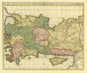
Early 18th century map of Turkey
VISSCHER, Nicolas. Date: 1705Stock #: 20555 £450.00 -
An incunable map of Turkey from a landmark edition of Ptolemy
BERLINGHIERI, Francesco de Nicola. Date: 1482Stock #: 25241 £11,000.00 -
Mid-19th century map of Turkey with decorative vignettes
TALLIS, John. Date: 1851Stock #: 16133 £125.00