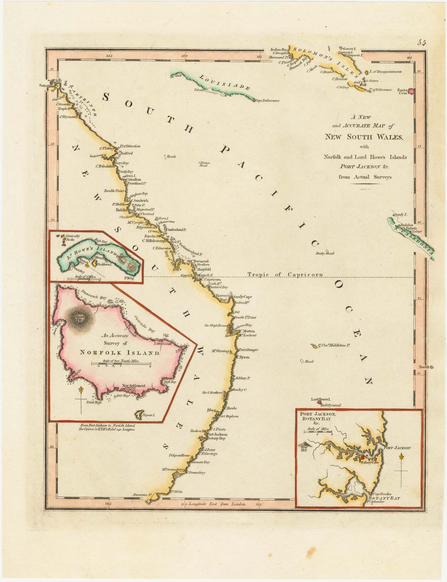


An 18th century map of New South Wales
A New and Accurate Map of New South Wales with Norfolk and Lord Howes Islands Port Jackson, &c. from Actual Surveys.
London, c. 1794. Coloured. 285 x 240mm.
£320.00
Description
An early map of the coast of New South Wales, engraved by Gridley, with insets of the Port Jackson area, Lord Howe's Island and Norfolk Island. Gives the distance from Port Jackson to Norfolk Island.
Condition:
Trimmed to platemark right.Related products
-
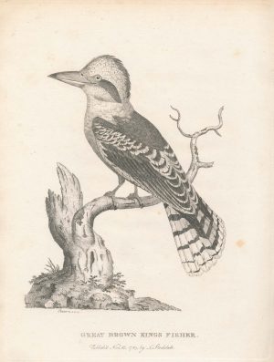
A scarce early depiction of a Laughing Kookaburra
EDWARDS, Sydenham. Date: 1789Stock #: 22371 £325.00 -
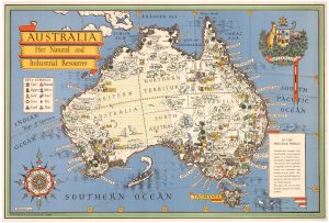
A pictorial map of Australia at the end of the Second World War
GILL, Leslie MacDonald. Date: 1946Stock #: 25191 £1,750.00 -
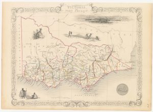
A mid-19th century map of Victoria with decorative vignettes
TALLIS, John. Date: 1851Stock #: 21787 £150.00 -
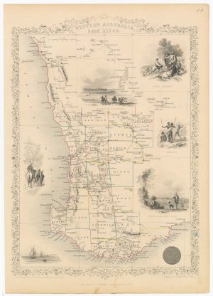
A mid 19th century map of Western Australia with vignettes
TALLIS, John. Date: 1851Stock #: 21789 £180.00 -
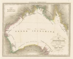
An unusual Italian map of Australia
MARMOCCHI, Francesco C. Date: 1858Stock #: 23588 £650.00 -
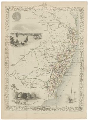
A mid-19th century map of New South Wales with vignettes
TALLIS, John. Date: 1851Stock #: 21598 £200.00 -
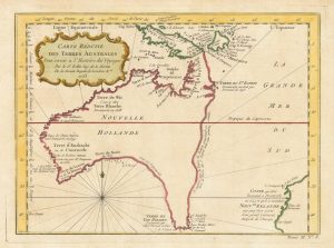
A pre-Cook discoveries map of Australia
BELLIN, Jacques-Nicolas. Date: 1753Stock #: 25052 £1,000.00 -
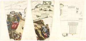
Set of three gores covering Australia from Coronelli’s 42 inch globe
CORONELLI, Vincenzo Maria. Date: 1693Stock #: 23726 £4,500.00 -
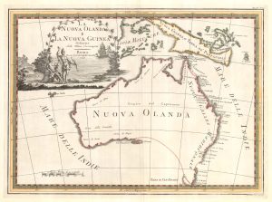
One of the most decorative maps of Australia
CASSINI, Giovanni Maria. Date: 1798Stock #: 17956 £3,750.00
Items by the same author
[ti_wishlists_addtowishlist]