

A history of London through maps
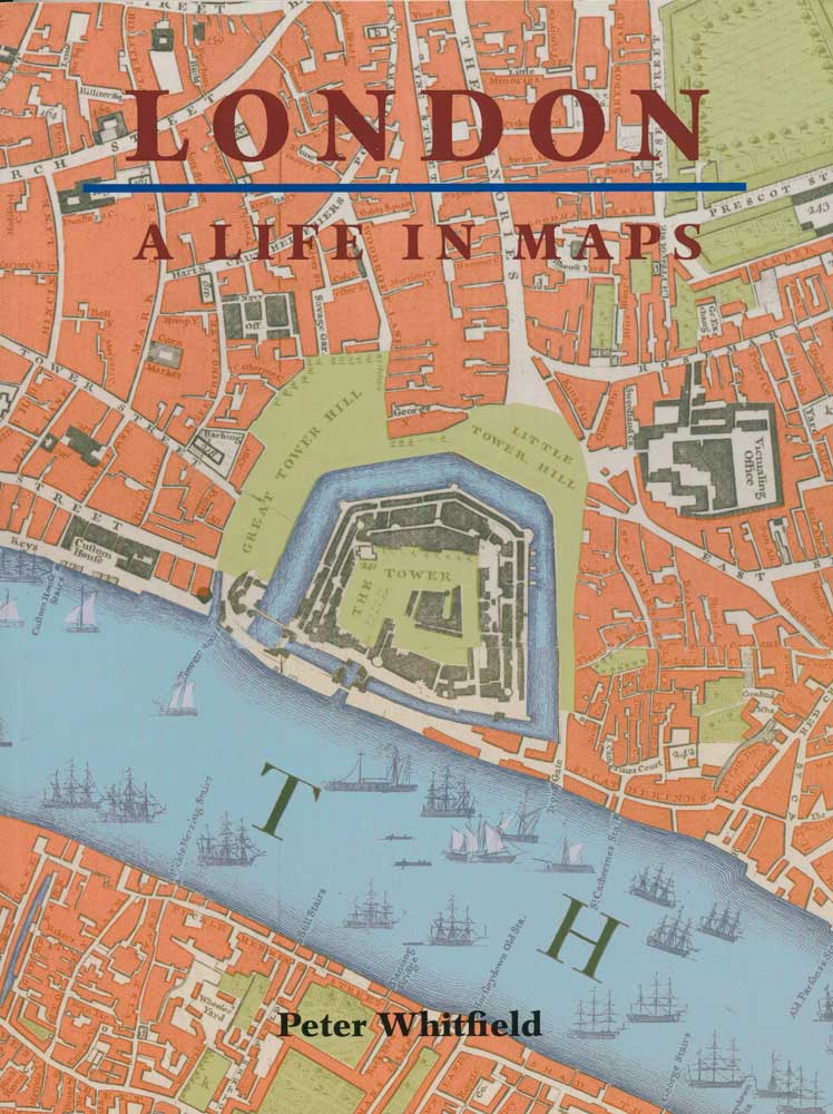
London: A Life in Maps.
London: British Library, 2006. 4to, illus. covers, pp.208.
£20.00
Description
The history of London is vividly illustrated by maps that have been drawn and published over the past 500 years, covering the devastation of the Great Fire; the emergence of the West End as a place of fashion; the building of the docks; the coming of the railway age & the impact of two World Wars.
Condition:
As new.Related products
-
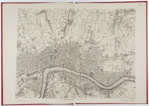
Facsimile of Rocque’s 16-Sheet Map of London
ROCQUE, John. Date: 1971Stock #: 15133 £400.00 -
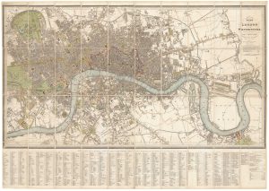
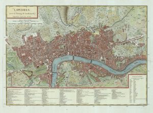
Detailed plan of London under William IV
FADEN, William. Date: 1830Stock #: 22893 £3,000.00 -
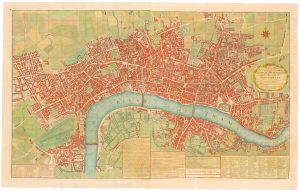
A two-sheet map of 18th century London
SMITH, Joseph. Date: 1795Stock #: 23337 £2,200.00 -
A French edition of Rocque’s map of London
TARDIEU, Pierre François. Date: 1765Stock #: 22729 £800.00 -
An Edwardian facsimile of a twelve-sheet map of London after the Fire
MORGAN, William. Date: 1904Stock #: 19441 £6,000.00 -

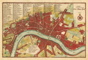
An 18th century two-sheet plan of London
FOSTER, George. Date: 1778Stock #: 18487 £3,800.00 -
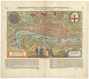
Early woodblock map of Elizabethan London
MUNSTER, Sebastian. Date: 1628Stock #: 24366 £1,600.00 -

A map of London during the Interregum
NEWCOURT, Richard. Date: 1878Stock #: 25458 £6,850.00 -
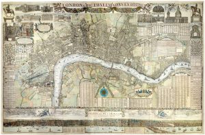
Map of London at the beginning of the 18th century
FER, Nicolas de. Date: 1705Stock #: 23204 £400.00
Items by the same author
Add to Wishlist
Add to Wishlist