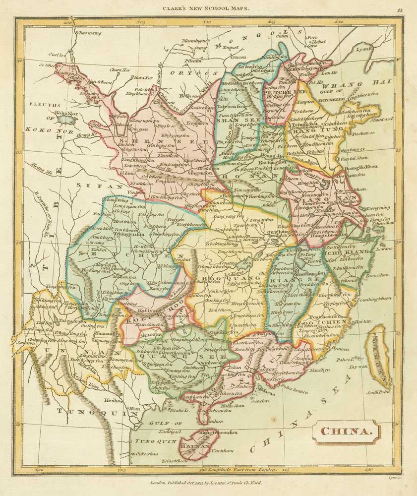


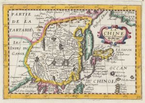
Map of China from an 19th century school atlas
China
London, Souter; 1821. Original wash colour. 240 x 200mm.
£180.00
1 in stock
x
Question About This Item?
Map of China from an 19th century school atlas & TYRER, James.Stock #: 19360
Add to Wishlist
Export as PDFEnquireSimilar to Sell?Add to Wishlist
Description
Map of China in the early part of the 19th century. Engraved by James Tyrer for the Rev. T. Clark's ''A New General School Atlas of Modern Geography''.
Condition:
A good example.Related products
-
18th century map of China
KITCHIN, Thomas. Date: 1747Stock #: 19967 £280.00 -
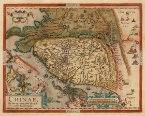
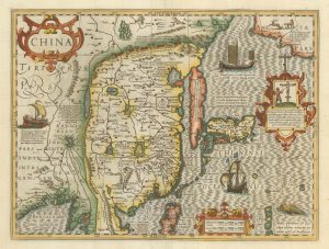
Ortelius’s landmark map of China
ORTELIUS, Abraham. Date: 1608Stock #: 15820 £4,500.00 -
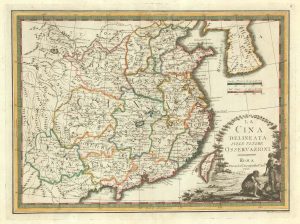
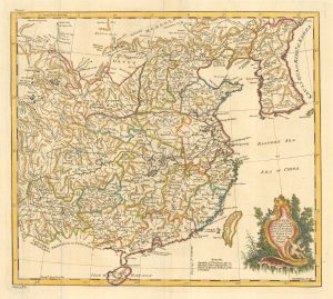
A scarce map of China
CASSINI, Giovanni Maria. Date: 1798Stock #: 20552 £650.00 -
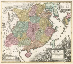
A dramatic 18th century map of China
SEUTTER, Matthaus. Date: 1760Stock #: 18269 £1,400.00 -
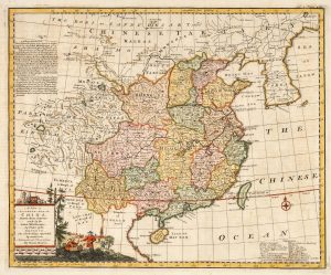
18th century English map of China
BOWEN, Emanuel. Date: 1748Stock #: 21029 £450.00 -
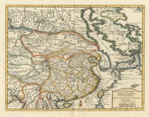
A classic 17th century map of China
HONDIUS, Jodocus. Date: 1623Stock #: 23659 £2,500.00 -
18th century map of China
TIRION, Isaak. Date: 1740Stock #: 24547 £320.00 -
17th century map of China
JOLLAIN, Gerard. Date: 1660Stock #: 17841 £400.00 -
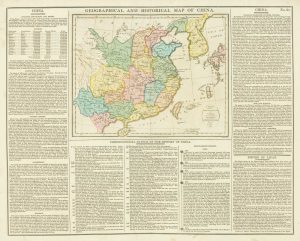
An unusual geographical and historical map of China
GROS, C. Date: 1813Stock #: 18845 £175.00