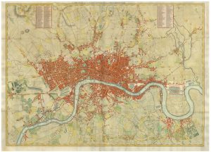
London during the Great Exhibition of 1851
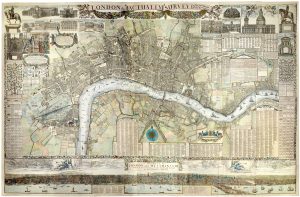
The Illustrated Plan of London and its Environs in Commemoration of the Great Exhibition of Industry of All Nations, 1851.
London, The London Printing & Publishing Company, c.1854. Coloured. 550 x 750mm.
£2,400.00
Description
A very decorative and detailed map of London, extending to Hammersmith in the west, clockwise to Cricklewood, Hampstead, Stamford Hill, Leytonstone, Greenwich, Peckham, Battersea Rise and Parson's Green. Around the edges are 49 views of buildings including, of course, the 'Crystal Palace' of the Great Exhibition in Hyde Park.
This example, with Tallis's name removed, was published by the London Printing and Publishing Company, a partnership between John Tallis junior and Ephraim Tipton Brain formed 1854.
Condition:
Minor repairs to binding folds, otherwise a good example.References:
HYDE: 22, this state not listed.Related products
-
A four-sheet wall map of London
STOCKDALE, John. Date: 1797Stock #: 19537 £9,000.00 -
Nineteenth century townplan of London
BAKER, B. Date: 1810Stock #: 24770 £450.00 -
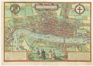
The elusive FIRST STATE of the earliest available printed map of London
BRAUN, Georg & HOGENBERG, Frans. Date: 1572Stock #: 25592 £12,500.00 -
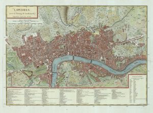
A French edition of Rocque’s map of London
TARDIEU, Pierre François. Date: 1765Stock #: 22729 £800.00 -
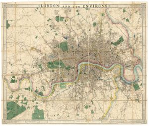
A fine 19th century wall map of London
WYLD, James. Date: 1875Stock #: 23579 £4,800.00 -
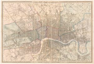
Large scale map of London in 1861
CROSS, Joseph. Date: 1787Stock #: 22409 £2,000.00 -
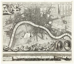
A scarce plan of London celebrating the Dutch Accession
DE RAM, Johannes. Date: 1690Stock #: 24617 £9,500.00 -
A two-sheet map of 18th century London
SMITH, Joseph. Date: 1795Stock #: 23337 £2,200.00 -
An Edwardian facsimile of a twelve-sheet map of London after the Fire
MORGAN, William. Date: 1904Stock #: 19441 £6,000.00
Items by the same author
Add to Wishlist
Add to Wishlist

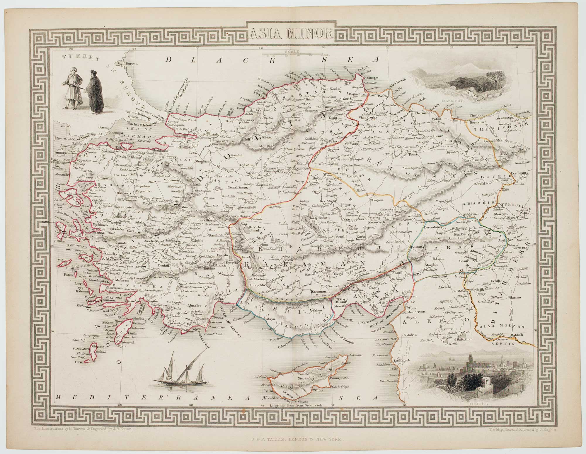
Mid 19th century map of Ireland with decorative vignettes
TALLIS, John. Date: 1851 Stock #: 21568 £240.00
Add to Wishlist
Add to Wishlist

A mid-19th century map of Germany with decorative vignettes
TALLIS, John. Date: 1851 Stock #: 23486 £120.00
Add to Wishlist
Add to Wishlist

Map of France with vignette scenes
TALLIS, John. Date: 1851 Stock #: 17766 £100.00
Add to Wishlist
Add to Wishlist

Mid 19th century map of Greece with decorative vignettes
TALLIS, John. Date: 1851 Stock #: 23523 £140.00
Add to Wishlist
Add to Wishlist

Map of the Jersey & Guernsey
TALLIS, John. Date: 1851 Stock #: 25205 £125.00
Add to Wishlist
Add to Wishlist