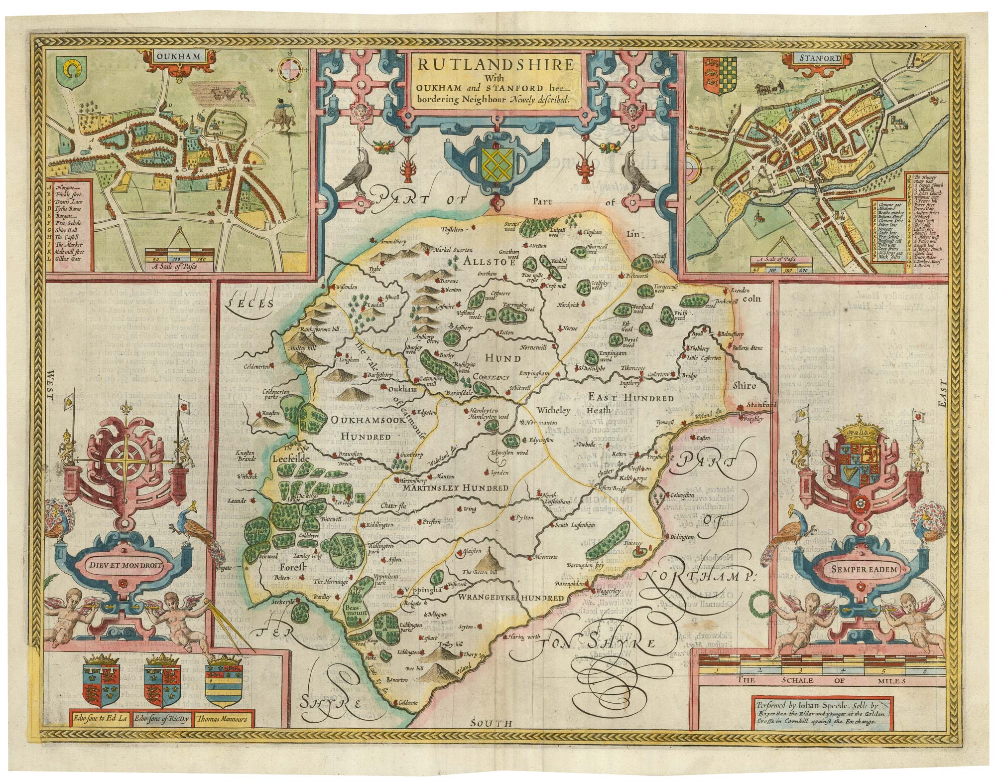


A scarce issue of John Speed’s map of Rutland
Rutland.
London: Roger Rea & Son, 1665. Coloured. 390 x 510mm.
£600.00
1 in stock
x
Question About This Item?
A scarce issue of John Speed’s map of Rutland & SPEED, John.Stock #: 24025
Add to Wishlist
Export as PDFEnquireSimilar to Sell?Add to Wishlist
Description
An important map of Rutland, engraved by Jodocus Hondius for John Speed's county atlas, 'The Theatre of the Empire of Great Britain', first published 1611-12. It is one of the most decorative maps of the county, with inset plans of Oakham & Stamford, the Royal Arms and armorials of the local nobility. An English text on the reverse gives a history of the county and an extensive list of towns and villages.
This example comes from the Roger Rea issue of the atlas, which was beset with disaster: according to an advert for the 1676 Bassett & Chiswell edition, ''the greatest part of an Impression, then newly Printed, [was] destroyed by the late dreadful Fire, 1666". Surviving examples of any Rea map are thus rare.
Condition:
A good example.Related products
-
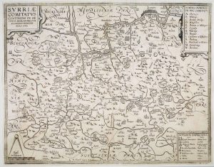
The so-called ‘Anonymous’ map of Surrey
SMITH, William. Date: 1665Stock #: 9177 £2,000.00 -
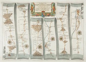
Early map of the roads from Presteigne to Carmarthen
OGILBY, John. Date: 1675Stock #: 15372 £280.00 -
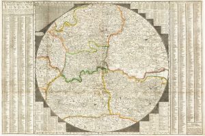
Early Georgian map of the environs of London
OVERTON, Henry. Date: 1720Stock #: 13522 £1,500.00 -
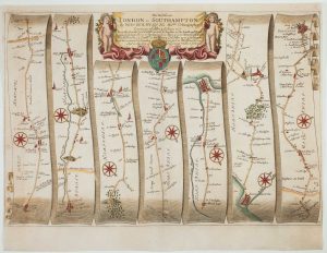
The road from Bagshot to Southampton and on to Salisbury
OGILBY, John. Date: 1675Stock #: 11367 £380.00 -
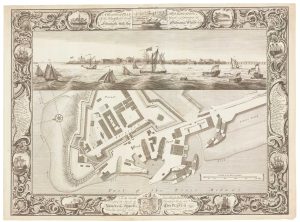
Fine plan of the naval dockyard at Sheerness, Kent
MILTON, Thomas. Date: 1755Stock #: 8492 £600.00 -
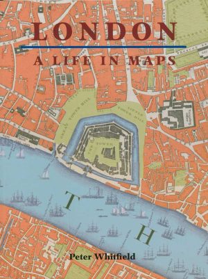
A history of London through maps
WHITFIELD, Peter. Date: 2006Stock #: 12441 £20.00 -

Early map of the roads from Basingstoke to Weymouth
OGILBY, John. Date: 1675Stock #: 15360 £280.00 -
Westminster and Lambeth from an important large-scale survey of London
HORWOOD, Richard. Date: 1799Stock #: 12670 £1,100.00 -
A separate-issue road map of England
VISSCHER, Nicolas. Date: 1694Stock #: 10557 £480.00
Items by the same author
Add to Wishlist
Add to Wishlist

A 17th century English panelled map of France
SPEED, John. Date: 1665 Stock #: 23995 £1,000.00
Add to Wishlist
Add to Wishlist

Germany from the first English atlas of the World
SPEED, John. Date: 1665 Stock #: 23993 £1,400.00
Add to Wishlist
Add to Wishlist
A First Edition example of Speed's map of Middlesex
SPEED, John. Date: 1611 Stock #: 25120 £2,500.00
Add to Wishlist
Add to Wishlist
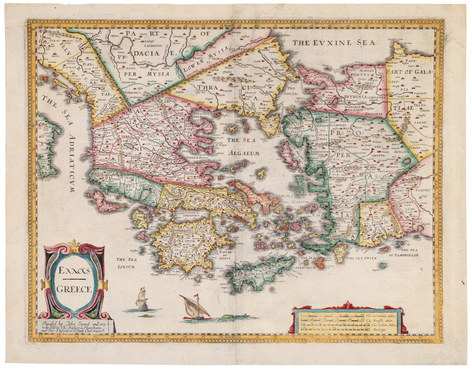
A 17th century map of the Roman Empire
SPEED, John. Date: 1676 Stock #: 25079 £1,500.00
Add to Wishlist
Add to Wishlist
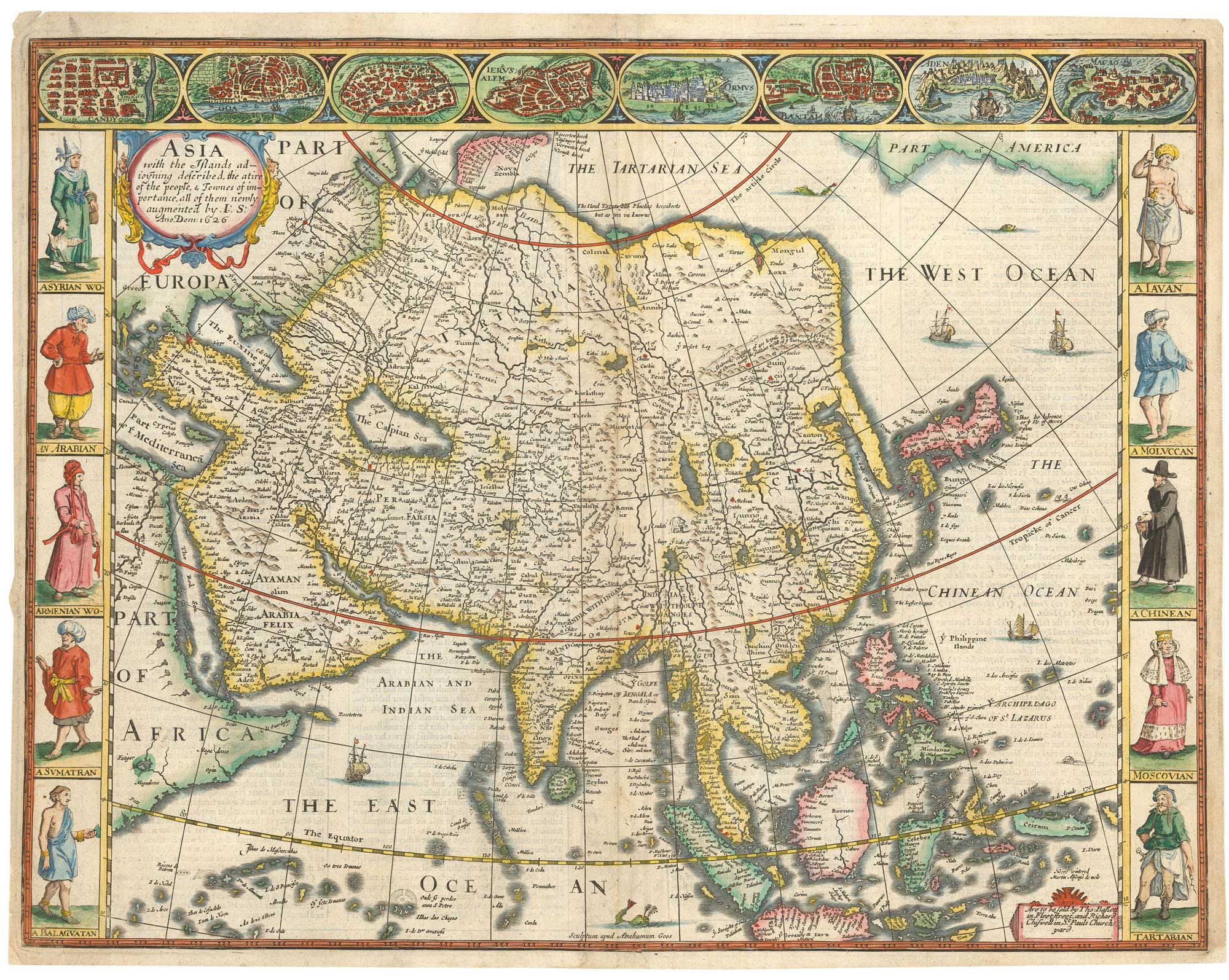
John Speed's famous map of Asia
SPEED, John. Date: 1676 Stock #: 23982 £2,750.00
Add to Wishlist
Add to Wishlist