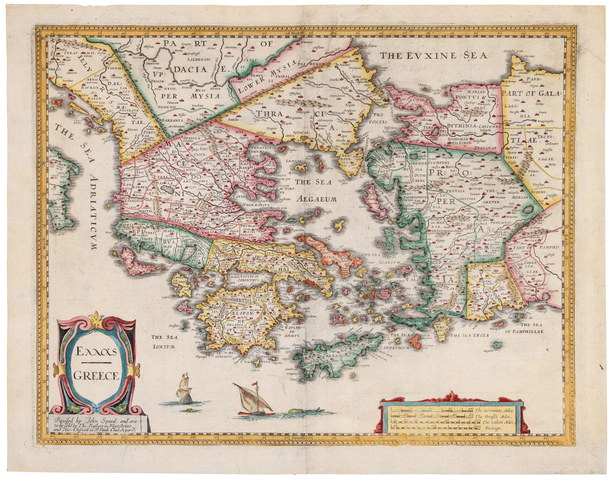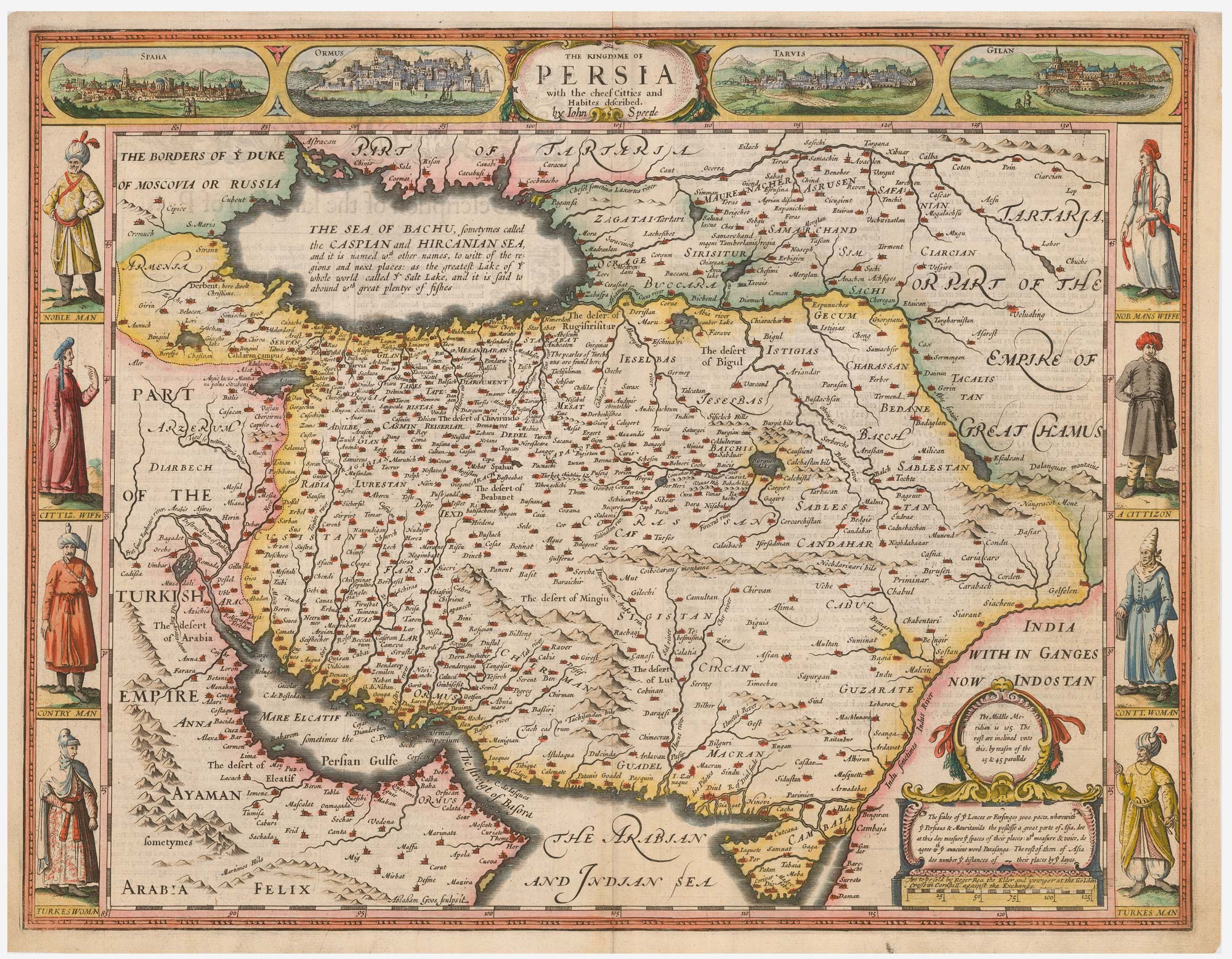


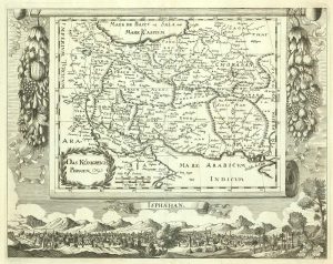
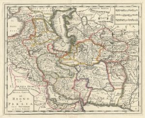
17th century English carte à figure map of Persia
The Kingdome of Persia with the cheef Citties and Habites described.
London: Roger Rea & Son, 1665. Coloured. 390 x 510mm.
£1,900.00
1 in stock
x
Question About This Item?
17th century English carte à figure map of Persia & SPEED, John.Stock #: 24045
Add to Wishlist
Export as PDFEnquireSimilar to Sell?Add to Wishlist
Description
A very fine example of this decorative map of Persia, engraved by Abraham Goos for John Speed's 'Prospect of the Most Famous Parts of the World', the first English atlas of the world. It is decorated with four city prospects (Isfahan, Ormus, Tabriz & Gilan) along the top and with eight costume vignettes down the sides. The Caspian Sea still has not been mapped properly: it is shown wider than it is tall.
This example comes from the Roger Rea issue of the atlas, which was beset with disaster: according to an advert for the 1676 Bassett & Chiswell edition, ''the greatest part of an Impression, then newly Printed, [was] destroyed by the late dreadful Fire, 1666". Surviving examples of any Rea map are thus rare.
Condition:
A good example.Related products
-
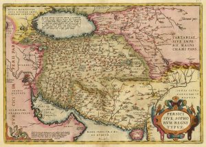
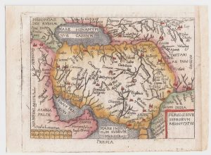
A 16th century map of map of Persia in fine colour
ORTELIUS, Abraham. Date: 1603Stock #: 24430 £800.00 -
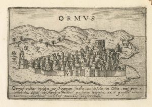
A 16th century Italian plan of Hormuz
VALEGIO, Francesco. Date: 1598Stock #: 24138 £200.00 -
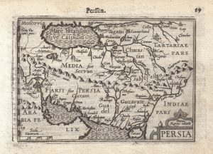
A 16th century miniature map of Persia
LANGENES, Barent. Date: 1599Stock #: 21286 £220.00 -
A pirated edition of the Ortelius Epitome map of Persia
ORTELIUS, Abraham. Date: 1655Stock #: 21725 £160.00 -
17th century map of Persia, with a prospect of Isfahan
HAFFNER, Melchior. Date: 1685Stock #: 20575 £750.00 -
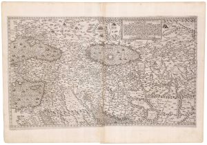
A rare map of the Middle East, published by Lafreri
GASTALDI, Giacomo. Date: 1557Stock #: 23975 £27,500.00 -
An 18th century Italian map of Persia
TIRION, Isaak. Date: 1740Stock #: 24550 £300.00 -
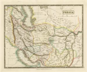
Mid-19th century map of Persia with fine colour
GELLATLY, John. Date: 1843Stock #: 21659 £120.00 -
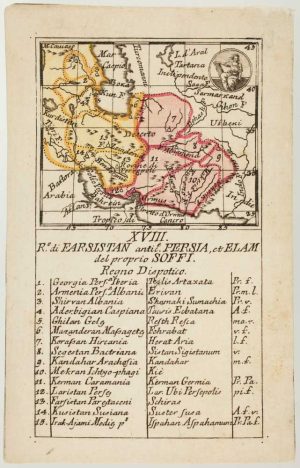
An 18th century playing-card map of Persia
RABATTA, Augusto & BAILOU, Jean Baptist de. Date: 1779Stock #: 13011 £300.00
Items by the same author
Add to Wishlist
Add to Wishlist

A 17th century English panelled map of France
SPEED, John. Date: 1665 Stock #: 23995 £1,000.00
Add to Wishlist
Add to Wishlist

Germany from the first English atlas of the World
SPEED, John. Date: 1665 Stock #: 23993 £1,400.00
Add to Wishlist
Add to Wishlist
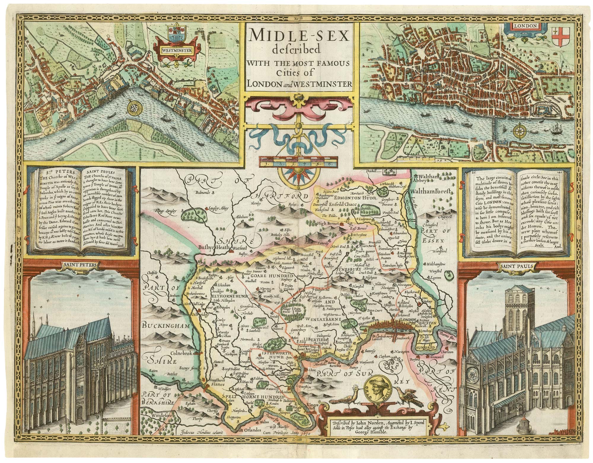
A First Edition example of Speed's map of Middlesex
SPEED, John. Date: 1611 Stock #: 25120 £2,500.00
Add to Wishlist
Add to Wishlist
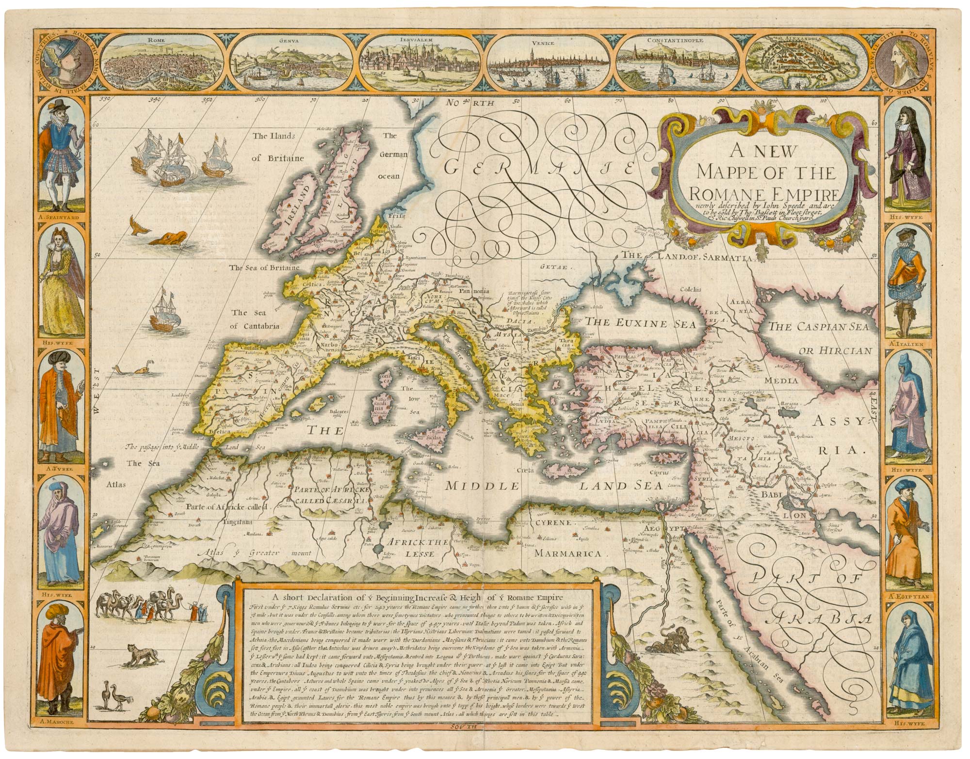
A 17th century map of the Roman Empire
SPEED, John. Date: 1676 Stock #: 25079 £1,500.00
Add to Wishlist
Add to Wishlist
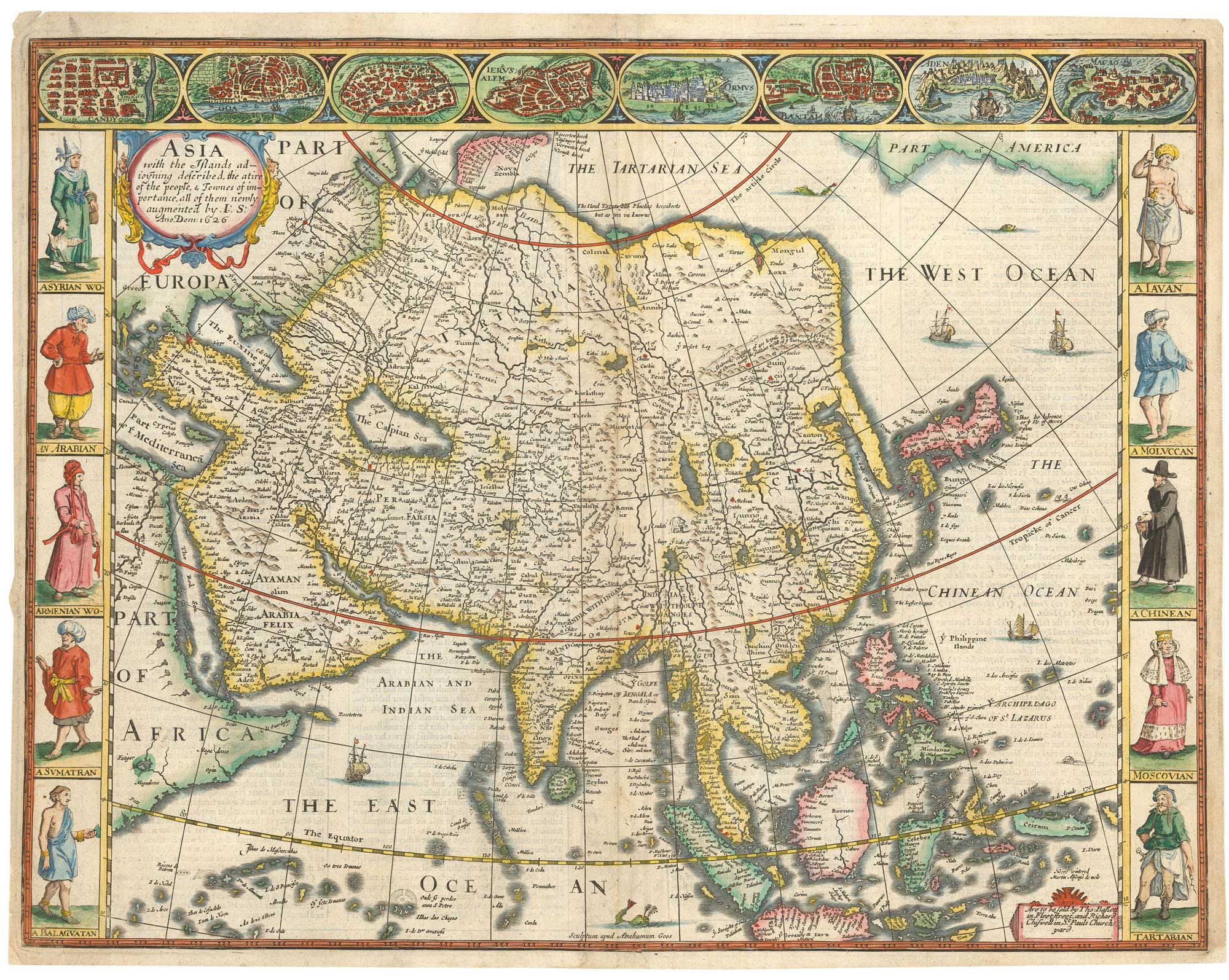
John Speed's famous map of Asia
SPEED, John. Date: 1676 Stock #: 23982 £2,750.00
Add to Wishlist
Add to Wishlist