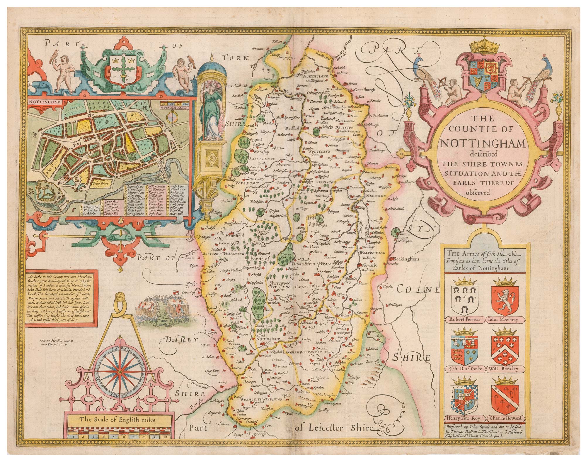


A 17th century map of Nottinghamshire
The Countie of Nottingham described The Shire Townes Situation and the Earls There of observed.
London: Bassett & Chiswell, 1676. Coloured. 390 x 500mm.
£500.00
Description
An important map of Nottinghamshire, engraved by Jodocus Hondius in 1610 for John Speed's county atlas, 'The Theatre of the Empire of Great Britain', first published 1611-12. It is one of the most decorative maps of the county, with an inset plan of Nottingham, the arms of the monarch and local nobility, ornate cartouches for the title and scale and a vignette battle scene. An English text on the reverse gives a history of the county and an extensive list of towns and villages.
Condition:
Repairs to centre fold and bottom margin.Related products
-
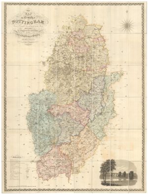
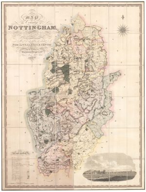
A large scale map of Nottinghamshire in fine colour
SANDERSON, George. Date: 1836Stock #: 24067 £1,800.00 -
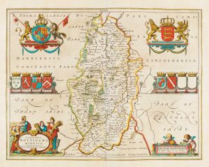
Map of Nottinghamshire published during the English Civil War
BLAEU, Johannes. Date: 1648Stock #: 14532 £500.00 -
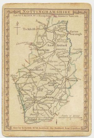
A scarce playing-card map of Nottinghamshire
ALLEN, Joseph. Date: 1811Stock #: 18713 £400.00 -
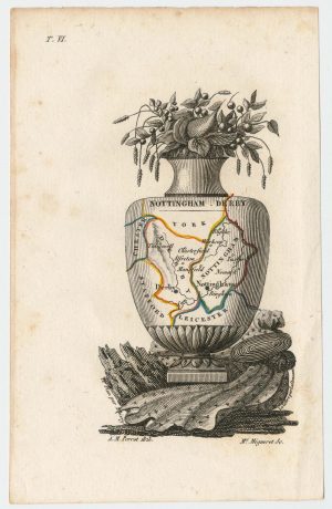
Miniature map of Nottinghamshire and Derbyshire
PERROT, Aristide Michel. Date: 1828Stock #: 23301 £65.00 -
A large scale map of Nottinghamshire in fine colour
GREENWOOD, C. & J. Date: 1826Stock #: 24066 £2,000.00
Items by the same author
Add to Wishlist
Add to Wishlist

A 17th century English panelled map of France
SPEED, John. Date: 1665 Stock #: 23995 £1,000.00
Add to Wishlist
Add to Wishlist

Germany from the first English atlas of the World
SPEED, John. Date: 1665 Stock #: 23993 £1,400.00
Add to Wishlist
Add to Wishlist
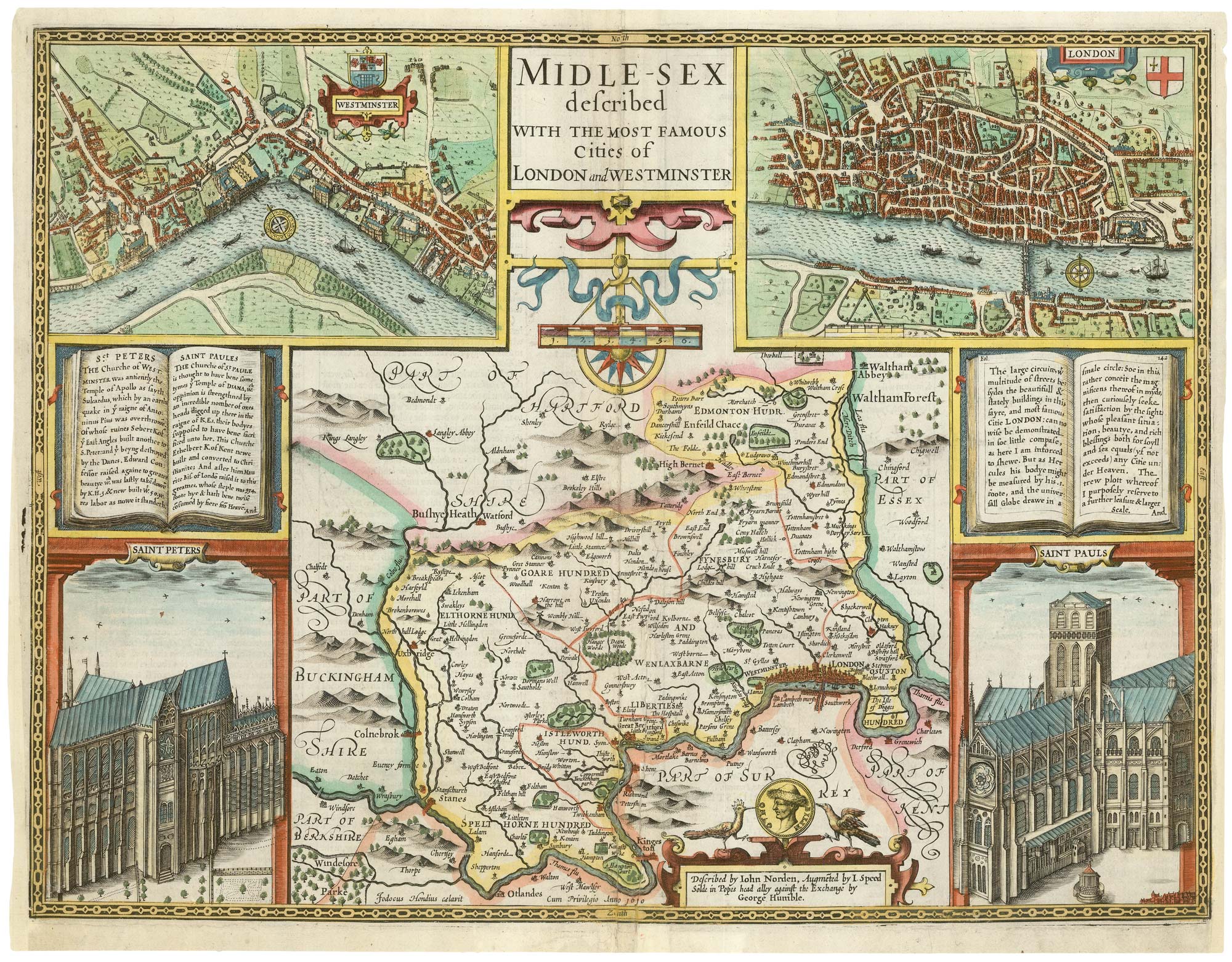
A First Edition example of Speed's map of Middlesex
SPEED, John. Date: 1611 Stock #: 25120 £2,500.00
Add to Wishlist
Add to Wishlist
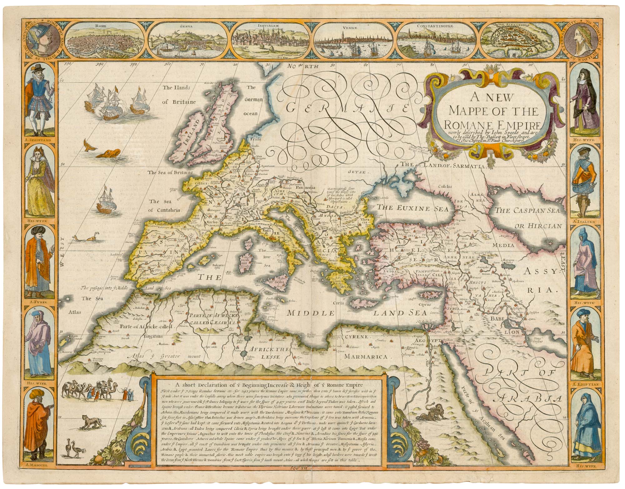
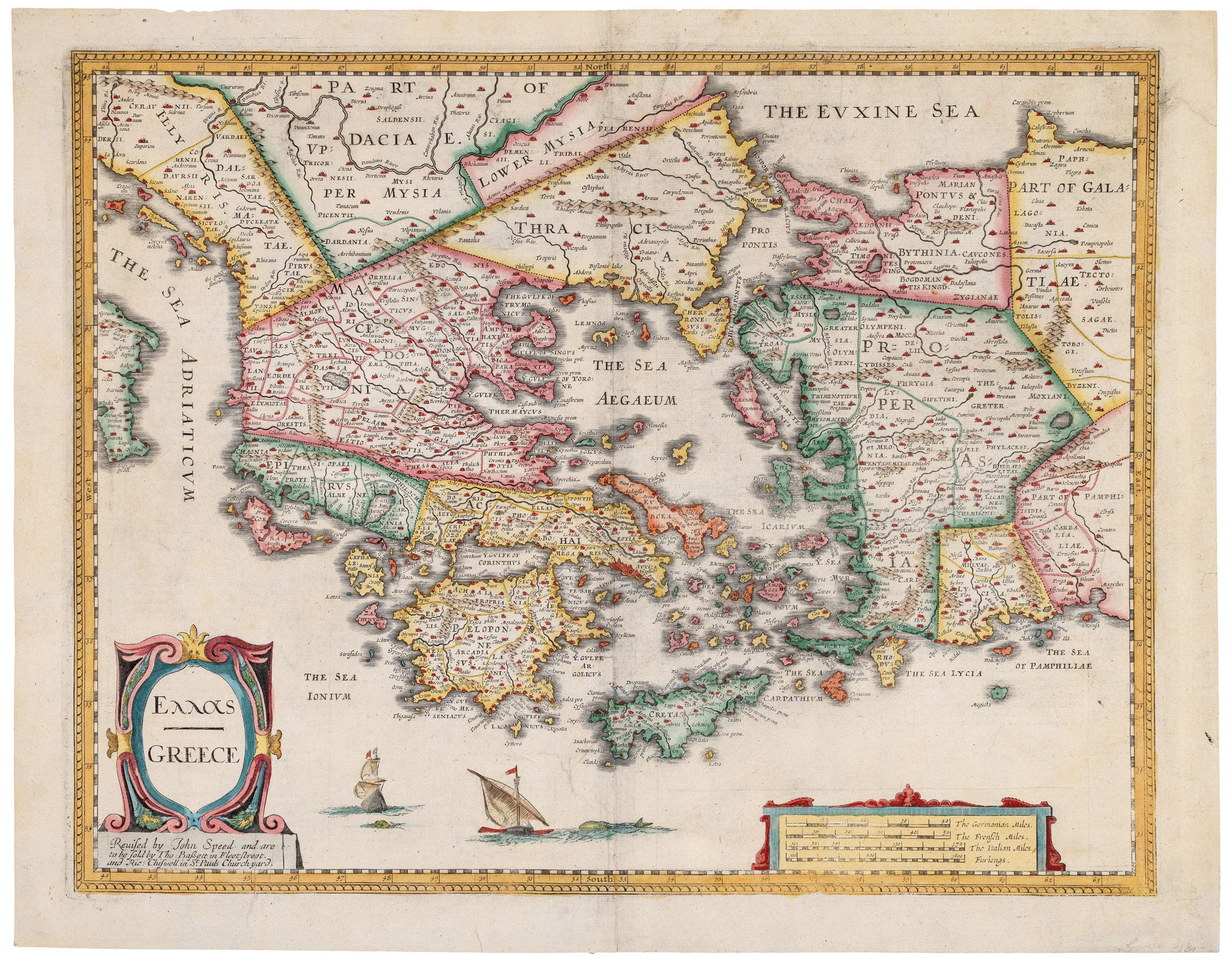
A 17th century map of the Roman Empire
SPEED, John. Date: 1676 Stock #: 25079 £1,500.00
Add to Wishlist
Add to Wishlist
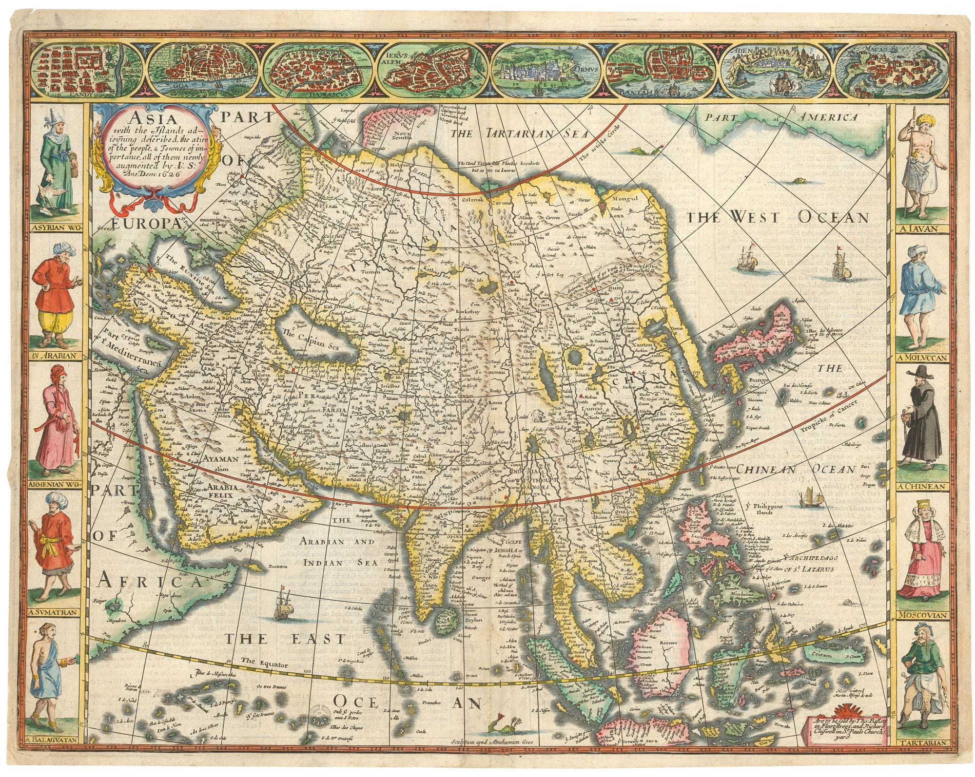
John Speed's famous map of Asia
SPEED, John. Date: 1676 Stock #: 23982 £2,750.00
Add to Wishlist
Add to Wishlist