


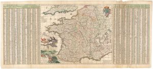
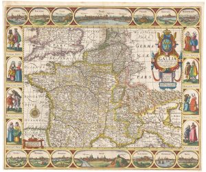
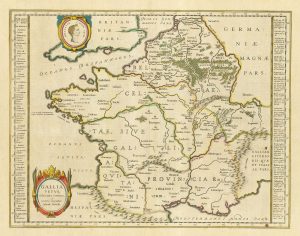
A 17th century English panelled map of France
France revised and augmented, the attires of the French and situations of their cheif cityes observed by John Speede.
London; Roger Rea and Son, 1665. Coloured. 405 x 525mm.
£1,000.00
1 in stock
x
Question About This Item?
A 17th century English panelled map of France & SPEED, John.Stock #: 23995
Add to Wishlist
Export as PDFEnquireSimilar to Sell?Add to Wishlist
Description
A superb map of France, with ten costume vignettes down the sides and eight city prospects, including Paris, Bordeaux and Calais, along the top.
It was published in John Speed's 'Prospect of the Most Famous Parts of the World', the first world atlas published in England, which was first issued in 1627.
This example comes from the Roger Rea issue, which was beset with disaster. According to an advert for the 1676 Bassett & Chiswell edition, ''the greatest part of an Impression, then newly Printed, [was] destroyed by the late dreadful Fire, 1666". Surviving examples of any Rea map are thus rare.
Condition:
Narrow top margin.Related products
-
A 17th century map of France with rare gazzetteer side-panels
VISSCHER, Nicolas. Date: 1690Stock #: 23744 £750.00 -
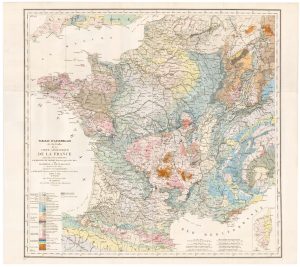
The index map of the first geological map of France
DUFRENOY, P.A. & ELIE DE BEAUMONT, J.B. Date: 1817Stock #: 22488 £650.00 -
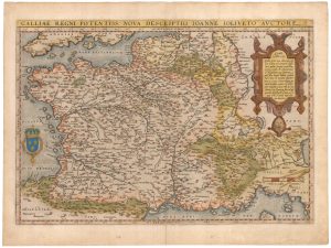
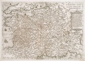
An early edition of Ortelius’s map of France
ORTELIUS, Abraham. Date: 1570Stock #: 23234 £650.00 -
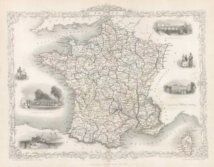
Map of France with vignette scenes
TALLIS, John. Date: 1851Stock #: 17766 £100.00 -
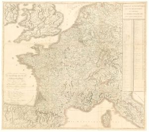
Wall map of the French Empire at its height
CHAUMIER & MAUBORGNE. Date: 1813Stock #: 17401 £900.00 -
A scarce 16th century map of France
DE JODE, Gerard. Date: 1578Stock #: 15515 £1,000.00 -
A rare ‘carte à figures’ map of France
KEERE, Pieter van den. Date: 1630Stock #: 22258 £3,500.00 -
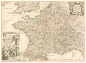
A rare four-sheet wall map of France dedicated to the Sun King
NOLIN, Jean Baptiste. Date: 1705Stock #: 19443 £2,200.00 -
17th century Dutch map of Gaul after Ortelius
BLAEU, Willem Janszoon. Date: 1645Stock #: 25335 £250.00
Items by the same author
Add to Wishlist
Add to Wishlist

Germany from the first English atlas of the World
SPEED, John. Date: 1665 Stock #: 23993 £1,400.00
Add to Wishlist
Add to Wishlist
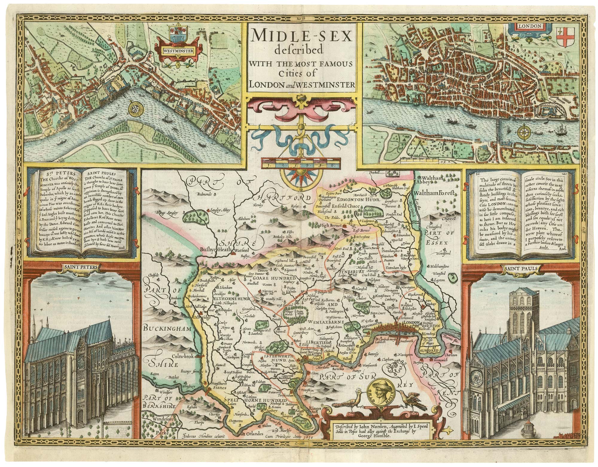
A First Edition example of Speed's map of Middlesex
SPEED, John. Date: 1611 Stock #: 25120 £2,500.00
Add to Wishlist
Add to Wishlist
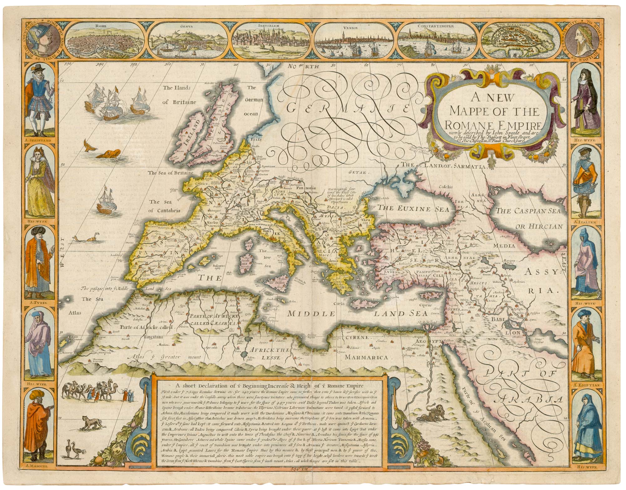
A 17th century map of the Roman Empire
SPEED, John. Date: 1676 Stock #: 25079 £1,500.00
Add to Wishlist
Add to Wishlist
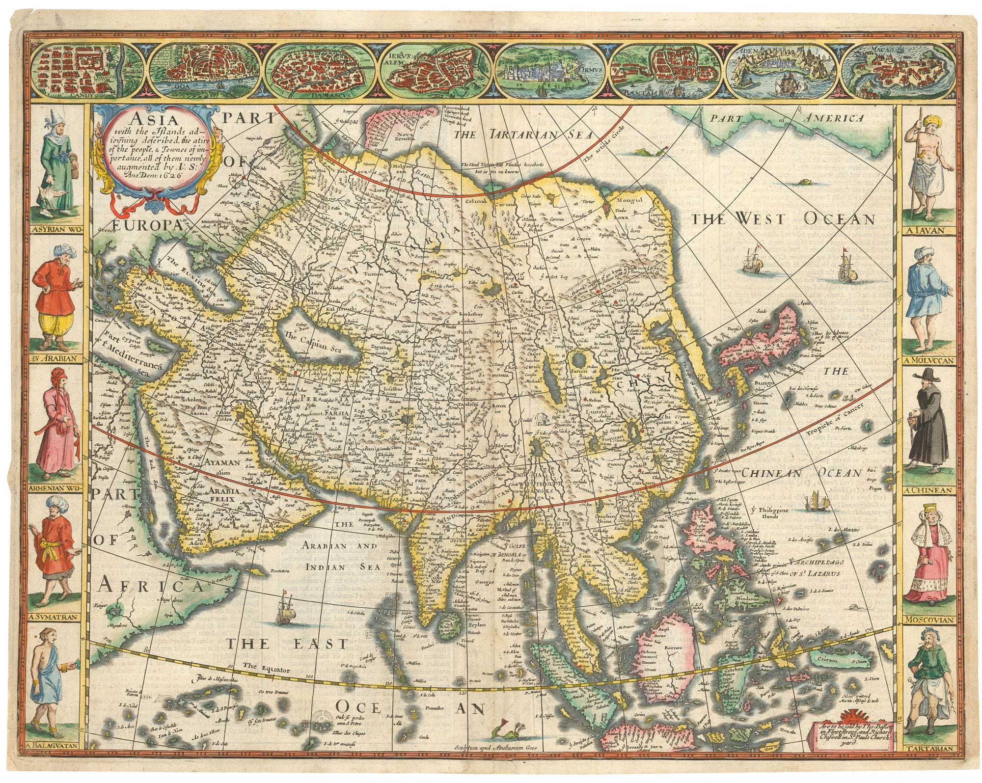
John Speed's famous map of Asia
SPEED, John. Date: 1676 Stock #: 23982 £2,750.00
Add to Wishlist
Add to Wishlist
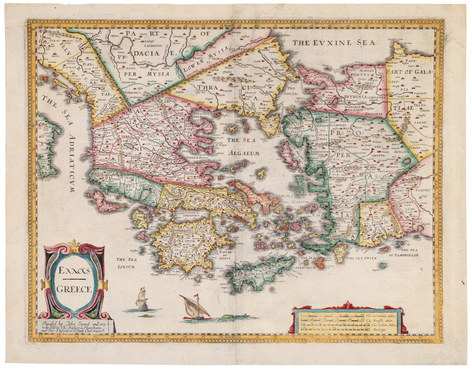
Classic C17th English map of Greece
SPEED, John. Date: 1676 Stock #: 20298 £980.00
Add to Wishlist
Add to Wishlist
