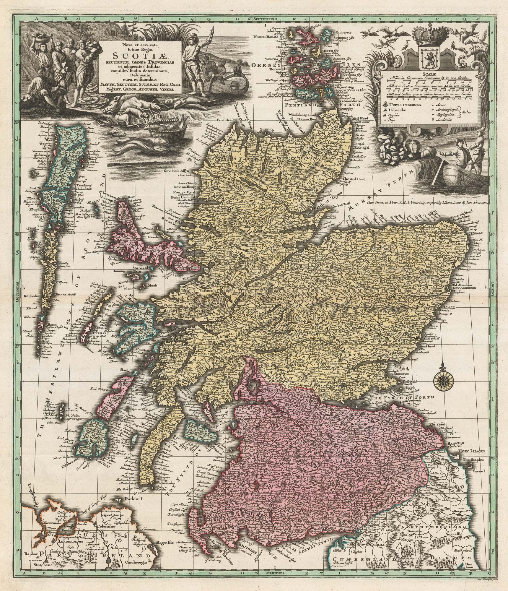


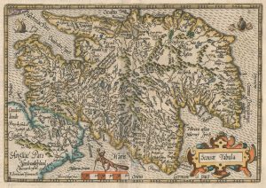
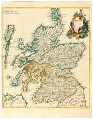
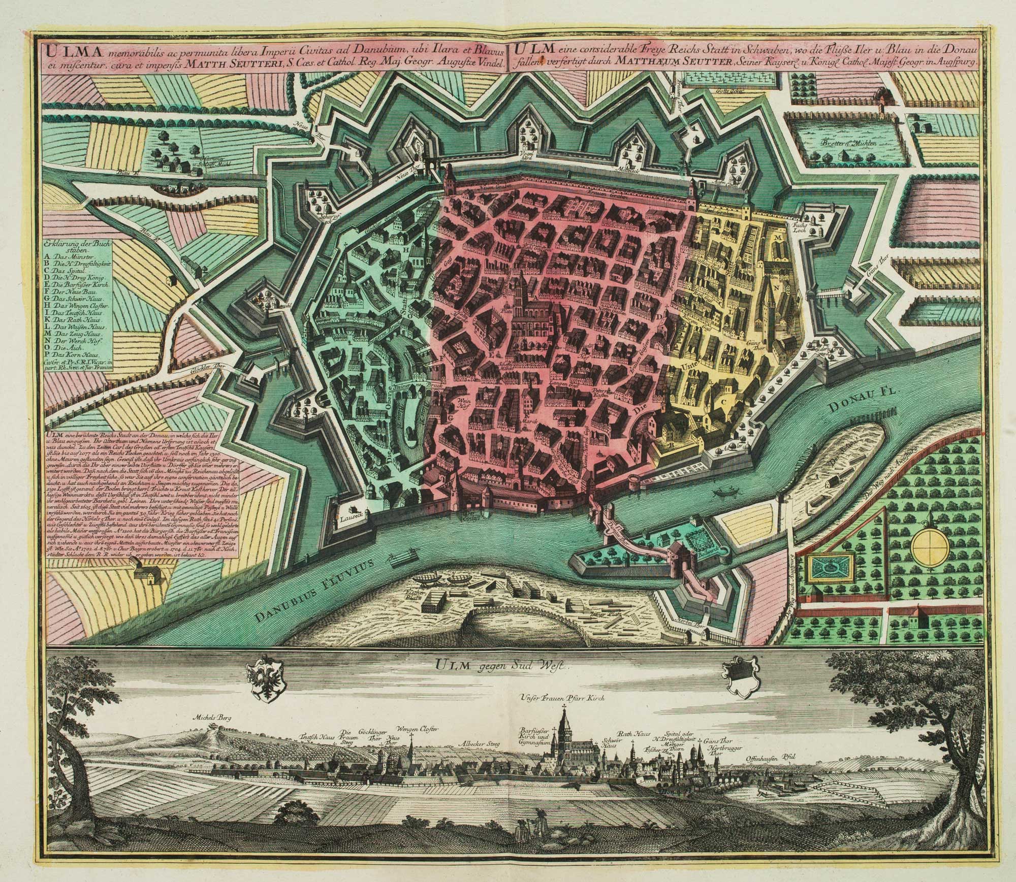
18th century map of Scotland
Nova et accurata totius Regni Scotiae...
Augsburg, c.1740. Original body colour. 585 x 500mm.
£750.00
Description
A striking map of Scotland, with cartouches for the title and scale which emphasise the natural resources of the country, including game and fish.
A fine impression with strong colour.
Condition:
A good example.Related products
-
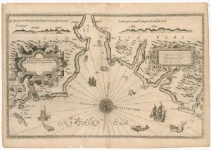
The Rare English Edition of Waghenaer’s chart of south-east Scotland
WAGHENAER, Lucas Janzoon. Date: 1588Stock #: 24588 £3,500.00 -
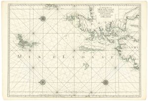
A two-sheet sea chart of Scotland and northern Ireland
MORTIER, Pierre. Date: 1750Stock #: 24905 £680.00 -
An early 17th century map of Scotland
QUAD, Matthias. Date: 1608Stock #: 22372 £450.00 -
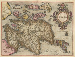
A classic early map of Scotland in original colour
ORTELIUS, Abraham. Date: 1603Stock #: 23802 £1,200.00 -
Southern Scotland from the first English Edition of the ‘Atlas Minor’
HONDIUS, Jodocus. Date: 1635Stock #: 22438 £120.00 -
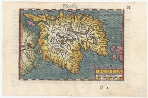
A minature map of Scotland
BERTIUS, Petrus. Date: 1609Stock #: 24847 £250.00 -
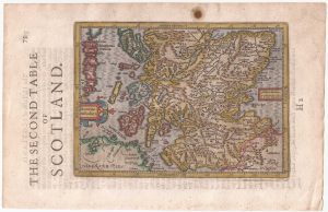
Northern Scotland from the first English Edition of the ‘Atlas Minor’
HONDIUS, Jodocus. Date: 1635Stock #: 22384 £150.00 -
An 18th century miniature map of Scotland
Anonymous. Date: 1752Stock #: 22964 £275.00 -
An 18th century map of Scotland
LE ROUGE, Georges-Louis. Date: 1746Stock #: 24901 £650.00
Items by the same author
[ti_wishlists_addtowishlist]

The Far East, with an elaborate title cartouche
SEUTTER, Matthaus. Date: 1741 Stock #: 18156 £1,400.00
[ti_wishlists_addtowishlist]

[ti_wishlists_addtowishlist]
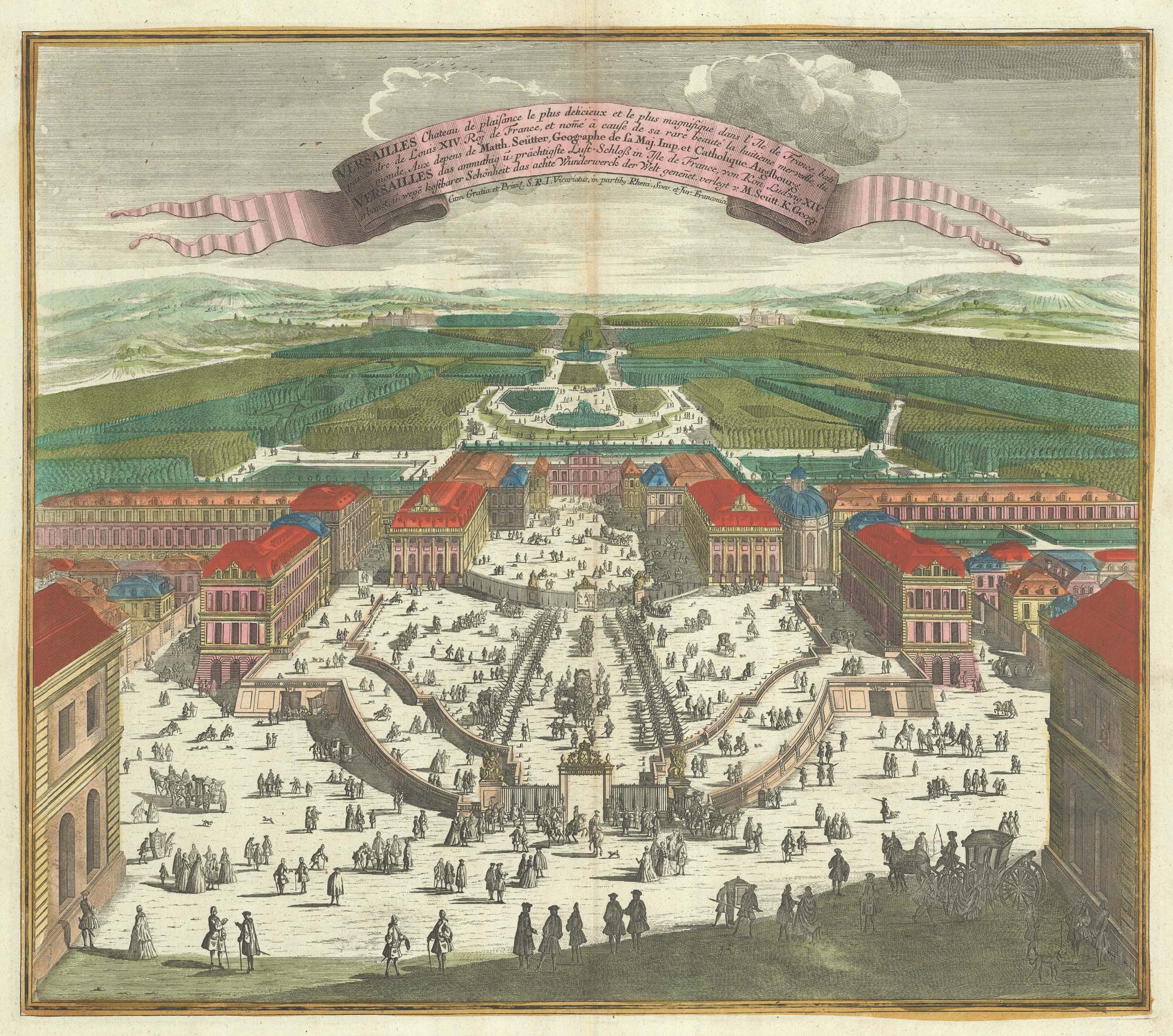
A bird's-eye view of Louis XIV's court at Versailles
SEUTTER, Matthaus. Date: 1735 Stock #: 23735 £700.00
[ti_wishlists_addtowishlist]
[ti_wishlists_addtowishlist]
[ti_wishlists_addtowishlist]