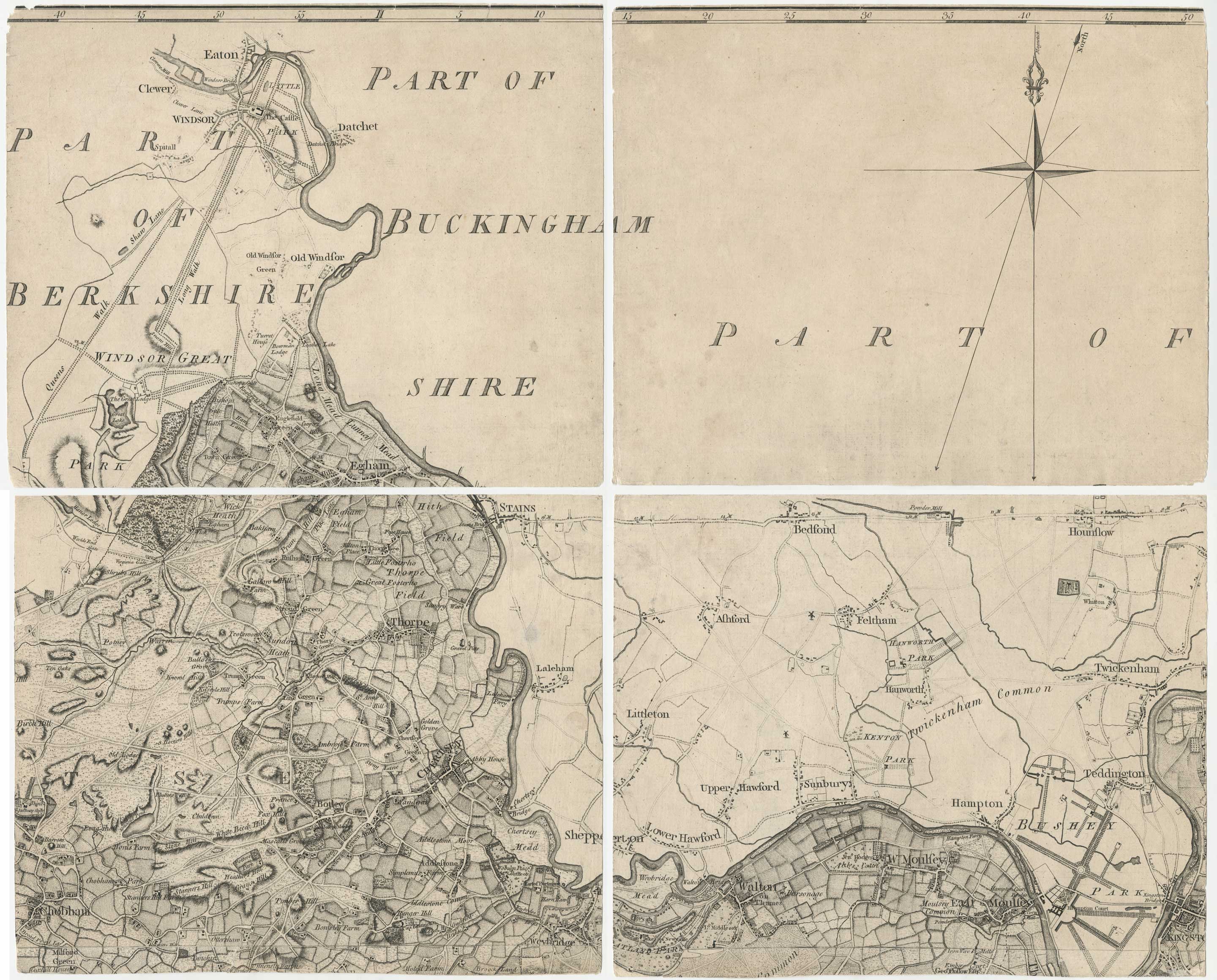
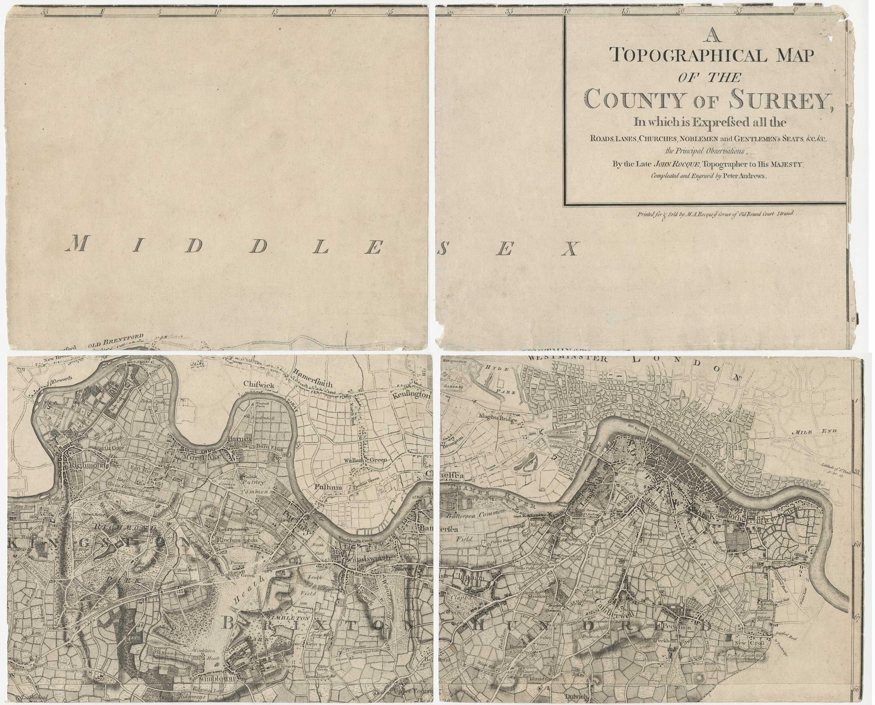
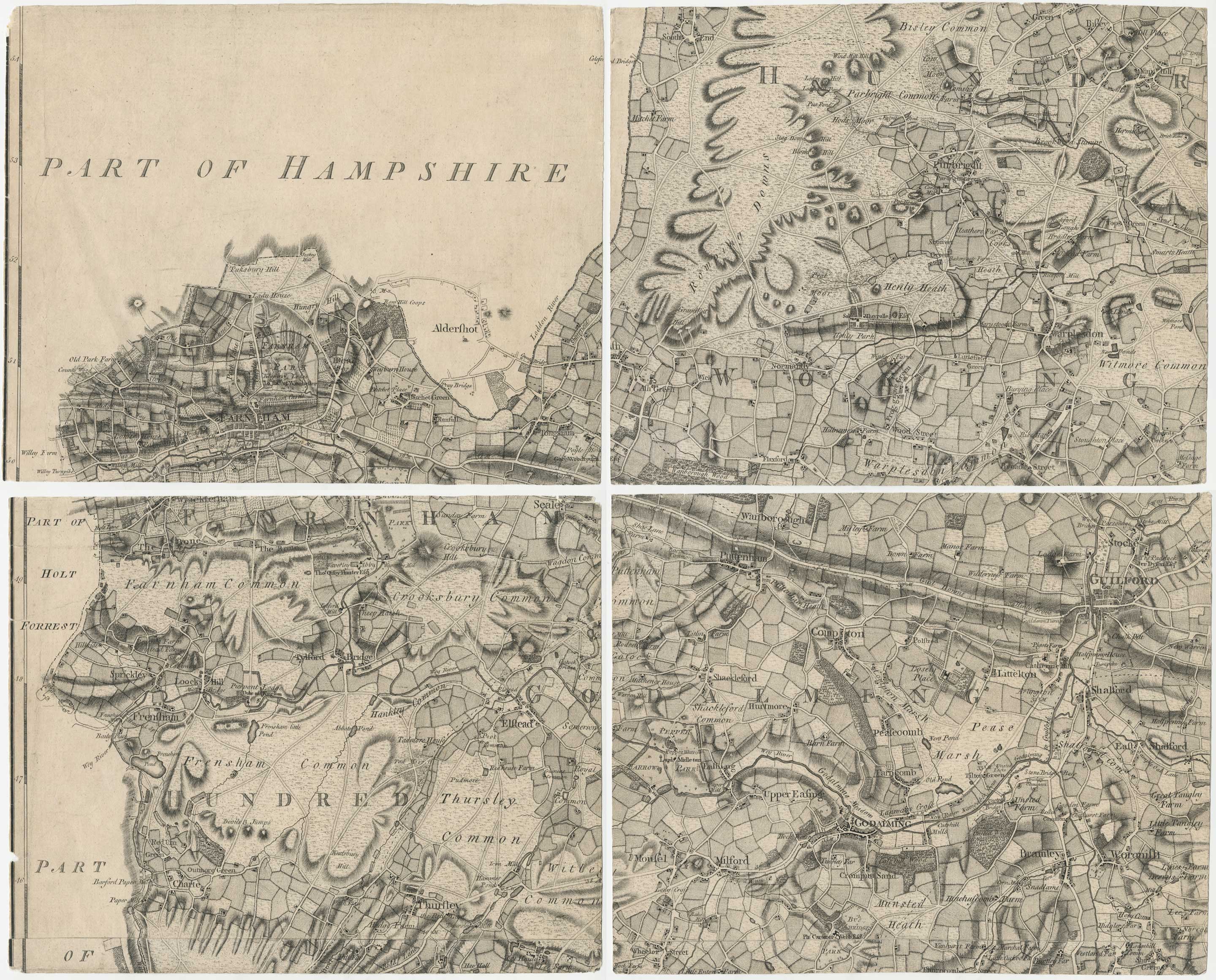

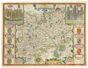
The first large-scale map of Surrey
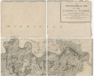
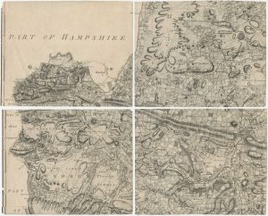
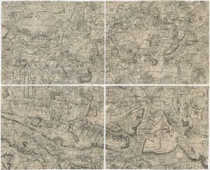
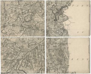
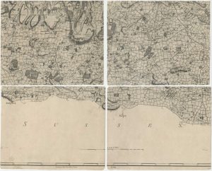
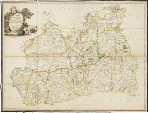
A Topographical Map of the County of Surrey In which is Expressed all the Roads, Lanes, Churches, Noblemen, and Gentlemen's Seats, &c. &c., the Principal Observations, By the Late John Rocque, Topographer to HIs Majesty, Compleated and Engrav'd by Peter Andrews. To His Royal Highness William Henry Duke of Gloucester & Edinburgh and Earl of Connaught in Ireland. This Actual Survey of the County of Surrey in most humbly inscrib'd by his Royal Highness's most humble and obliged Servant. Mary Ann Rocque.
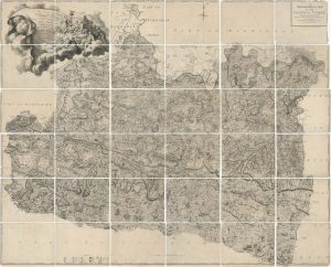
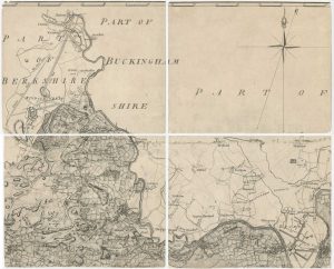
London: Mary Anne Rocque, 1768-c.1770. Nine sheets, dissected into 36 segments as issued, each c.275 x 340mm, total if joined 1650 x 2040mm.
£4,500.00
Description
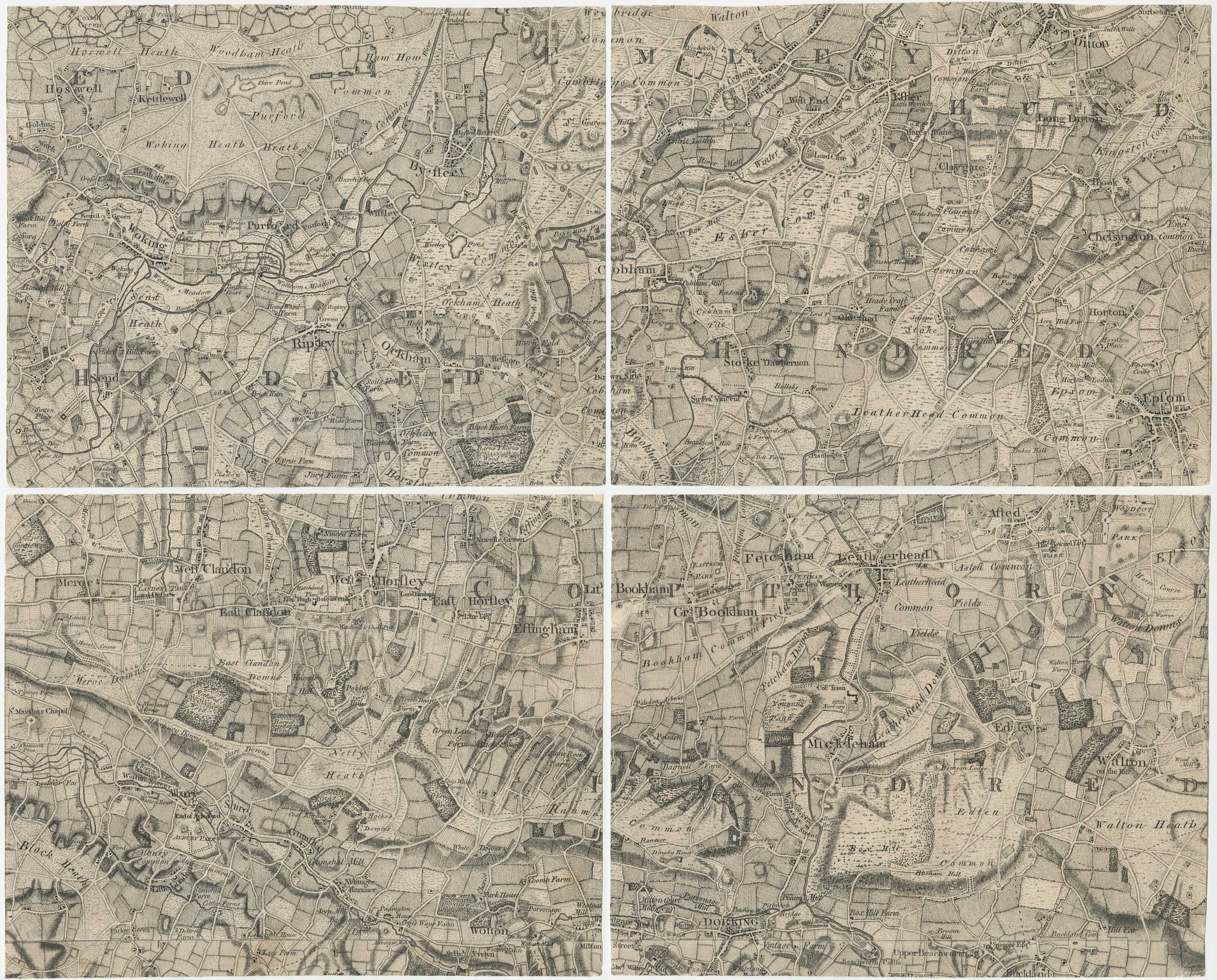
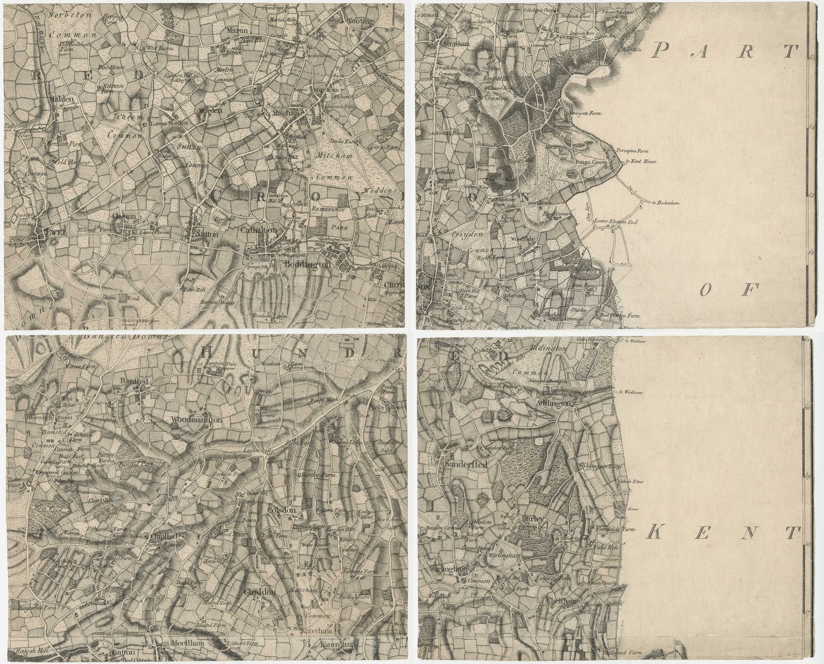
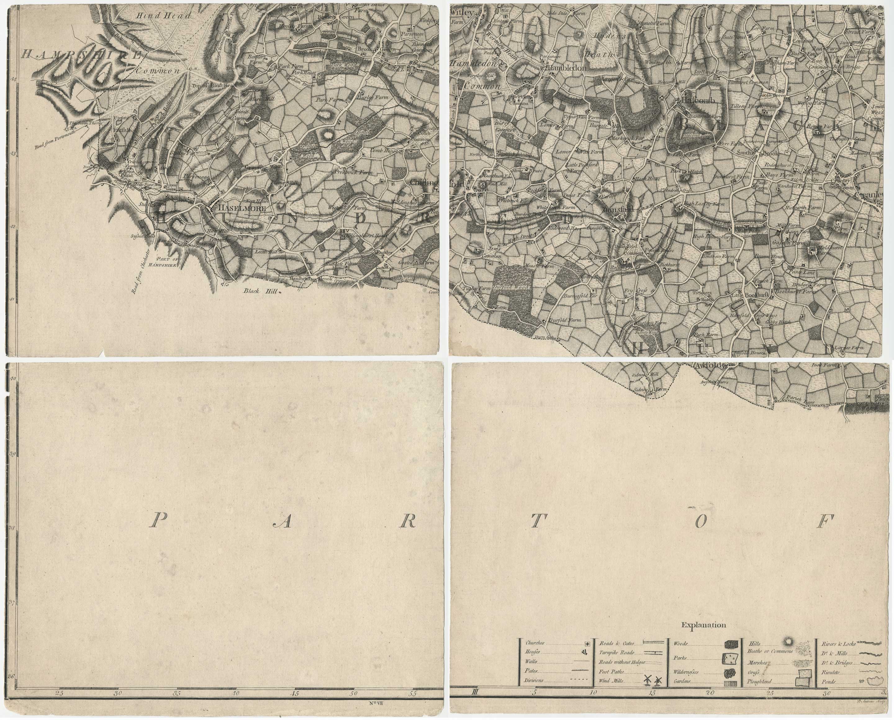
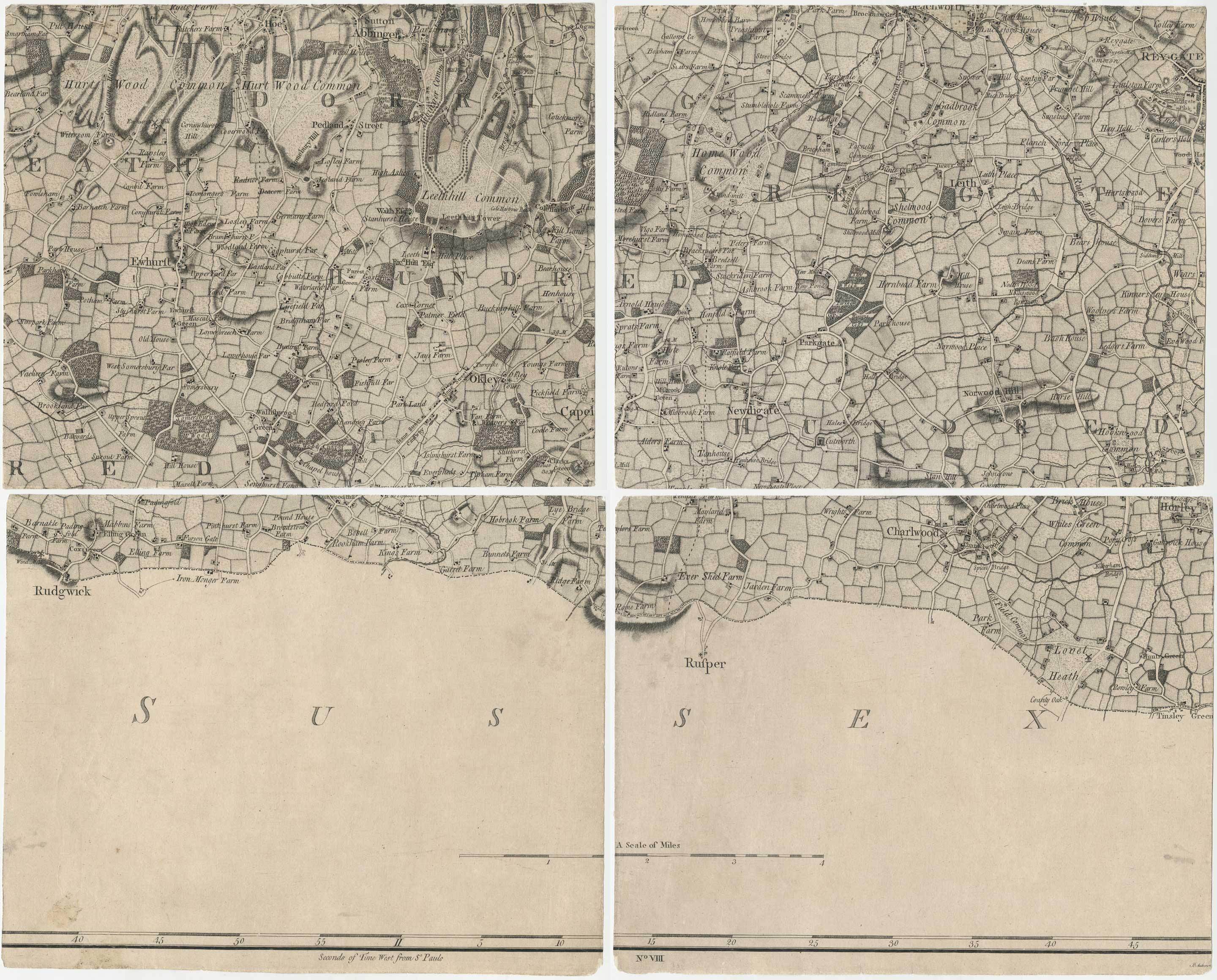
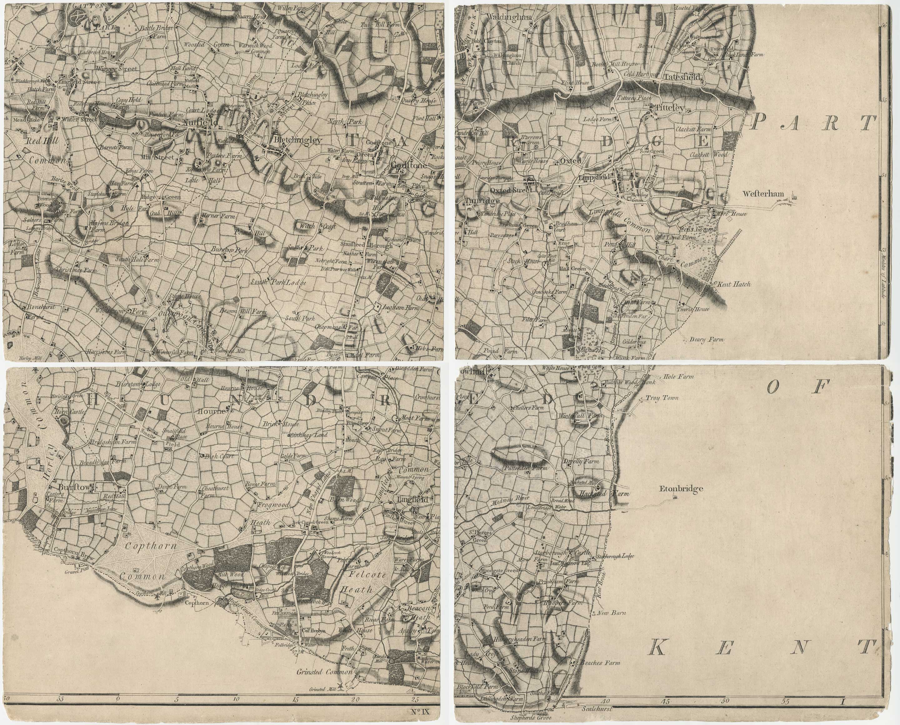
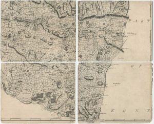
A highly detailed map of Surrey, surveyed on the massive scale of two inches to a mile by John Rocque, but first published after his death by his widow, Mary Anne (née Bew).
The map is dedicated to the Duke of Gloucester, younger brother of George III. In the very decorative title cartouche he is shown sitting on a cloud beside Apollo and the Muses, with Urania holding a surveyor's theodolite.
The map was first published in 1760; this example comes from the second of three states identified by MapForum, with a few names added but before the addition of Richmond Bridge c.1775.
According to 'British Map Engravers', the Peter Andrews who completed the map is probably the Pierre André who witnessed John Rocque's will in 1761.
Condition:
Some wear at edges. This example was originally issued dissected and laid on linen but has, at some stage, been lifted from the linen backing.Related products
-
The first trigonometrical map of Surrey
LINDLEY, Joseph & CROSLEY, William. Date: 1793Stock #: 16383 £2,200.00 -
Speed’s famous map of Surrey
SPEED, John. Date: 1627Stock #: 18590 £1,250.00 -
The so-called ‘Anonymous’ map of Surrey
SMITH, William. Date: 1665Stock #: 9177 £2,000.00 -
A rare issue of Speed’s map of Surrey
SPEED, John. Date: 1665Stock #: 24010 £1,250.00 -
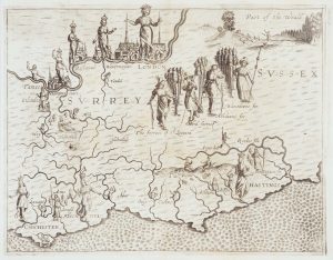
Map of Surrey and Sussex from Drayton’s fantastical ‘Poly-Olbion’
DRAYTON, Michael. Date: 1612Stock #: 14044 £450.00 -
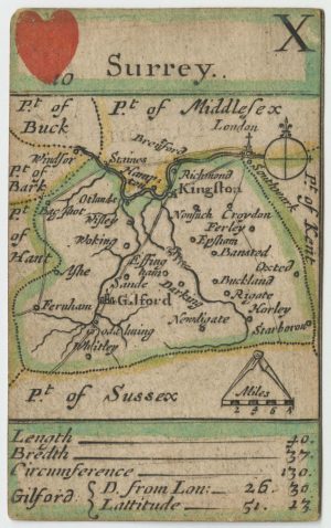
A rare 17th century playing card map of Surrey
MORDEN, Robert. Date: 1676Stock #: 25014 £750.00 -
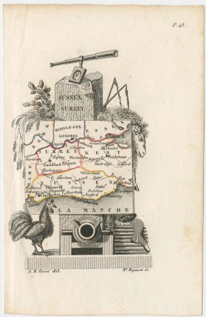
Miniature map of Surrey, Sussex and Kent
PERROT, Aristide Michel. Date: 1828Stock #: 23134 £140.00
Items by the same author
Add to Wishlist
Add to Wishlist
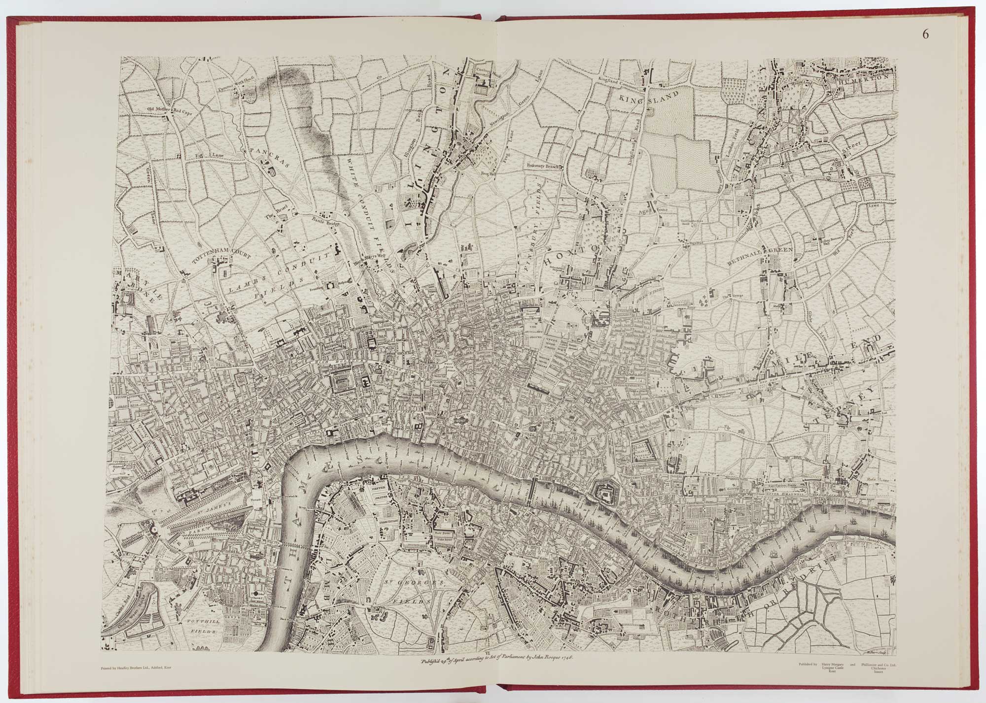
Facsimile of both Rocque's 24 & 16-sheet map of London
ROCQUE, John. Date: 1971 Stock #: 24478 £650.00
Add to Wishlist
Add to Wishlist