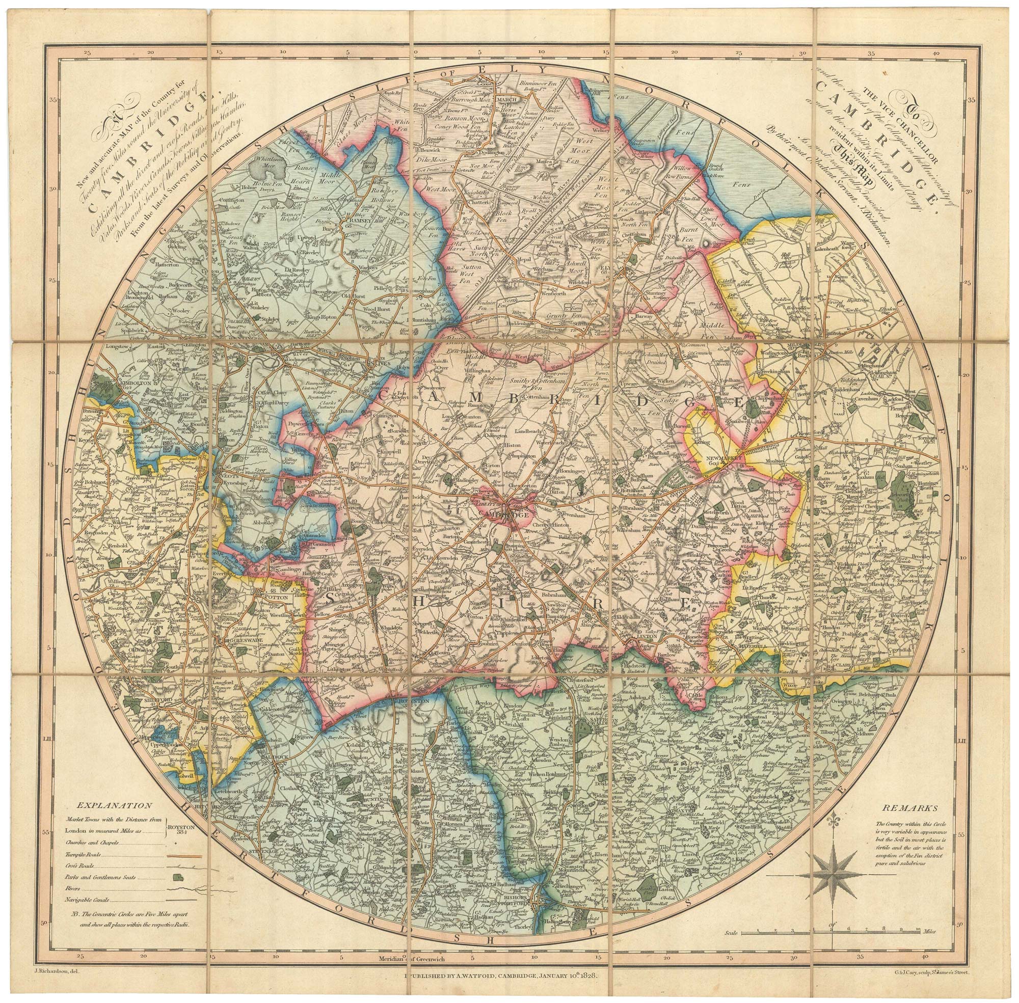


An early 19th century circular map of the environs of Cambridge
A New and Accurate Map of the Country for Twenty-five Miles around the University of Cambridge, Exhibiting all the direct and cross Roads, the Hills, Vales, Woods, Rivers, Canals, Towns, Villages, Hamlets, Parks, and Seats of the Nobility and Gentry. From the latest Surveys and Observations.
Cambridge: A. Watford, 1828. Fine original colour. Dissected and laid on linen as issued, total 475 x 480mm, folded into its original marbled slipcase, with publisher's title label.
£400.00
1 in stock
x
Question About This Item?
An early 19th century circular map of the environs of Cambridge & RICHARDSON, J.Stock #: 23649
Add to Wishlist
Export as PDFEnquireSimilar to Sell?Add to Wishlist
Description
A detailed map of the environs of Cambridge, drawn by Richardson and engraved by brothers George and John Cary.
The colour is particularly fine.
Condition:
Slipcase worn, old ink ownship inscription on label.Related products
-
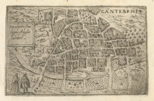
A 16th century Italian plan of Cambridge
VALEGIO, Francesco. Date: 1598Stock #: 24132 £500.00 -
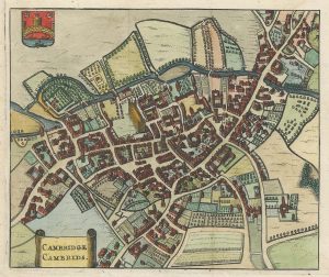
A 17th century townplan of Cambridge
HERMANNIDES, Rutger. Date: 1661Stock #: 22774 £350.00 -
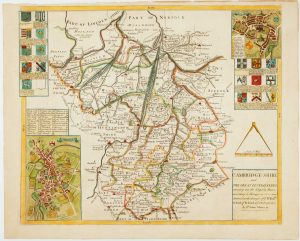
Uncommon map of Cambridgeshire from a Saxton county atlas
WILLDEY, George. Date: 1749Stock #: 15847 £1,250.00 -
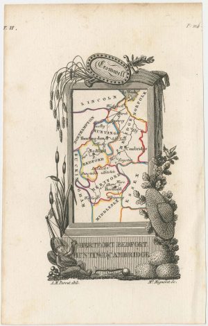
Miniature map of Hertfordshire, Bedfordshire and Cambridgeshire
PERROT, Aristide Michel. Date: 1828Stock #: 23136 £75.00