


Detailed early 19th century folding map of Russia
The Russian Dominions in Europe, drawn from the latest Maps, printed, by the Academy of Sciences, St. Petersburg; revised and corrected, with the Post Roads & New Governments, from the Russian Atlas of 1806.
London: William Faden, 1808. Original outline colour. Dissected and laid on linen, edged with green silk, total size 1070 x 930mm. With marbled paper slipcase with Faden's label.
£600.00
1 in stock
x
Question About This Item?
Detailed early 19th century folding map of Russia & NANTIAT, Jasper.Stock #: 22670Similar to Sell?
Description
A large and detailed map, extending west to east from the Baltic to the Urals and north to south from the Arctic Ocean to Georgia.
Condition:
Very fine condition.Related products
-
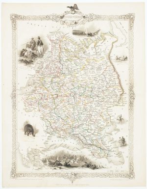
Mid 19th century map of Russia with decorative vignettes
TALLIS, John. Date: 1851Stock #: 17145 £160.00 -
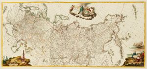
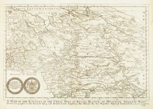
An impressive three-sheet map of the Russian Empire
TRESCOTT, John & SCHMIDT, Jakob. Date: 1782Stock #: 10643 £2,950.00 -
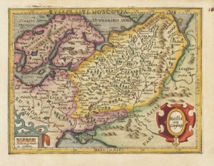
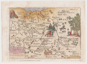
17th century miniature map of Russia
HONDIUS, Jodocus. Date: 1610Stock #: 18357 £220.00 -
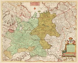
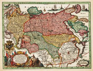
18th century map of Russia with beautiful original colour
COVENS, Johannes &.MORTIER, Cornelis. Date: 1730Stock #: 13693 £500.00 -
A pirated edition of the Ortelius Epitome map of Russia
ORTELIUS, Abraham. Date: 1655Stock #: 21726 £260.00 -
A 17th century English map of Russia
BLOME, Richard. Date: 1670Stock #: 15187 £300.00 -
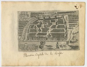
A 16th century Italian plan of Moscow
VALEGIO, Francesco. Date: 1598Stock #: 24142 £450.00 -
Small format map of the Russian Empire
SEUTTER, Matthaus. Date: 1744Stock #: 16306 £240.00 -
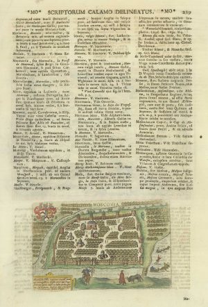
A miniature map of Moscow
LASOR A VAREA, Alphonsus. Date: 1713Stock #: 21185 £340.00