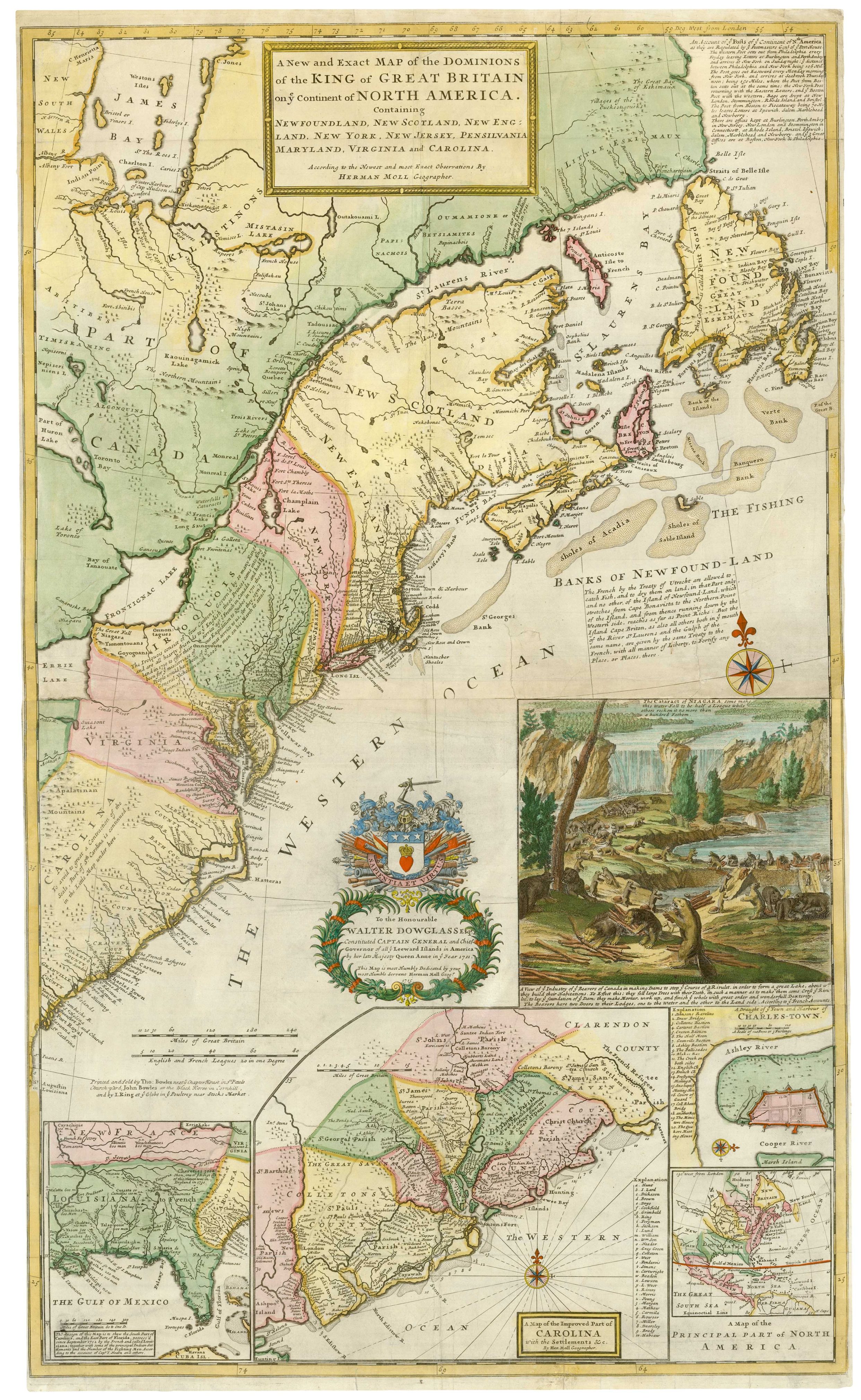


The famous ‘Beaver Map’ of the British Colonies in America
A New and Exact Map of the Dominions of the King of Great Britain on ye continent of North America. Containing Newfoundland, New Scotland, New England, New York, New Jersey, Pensilvania, Maryland, Virginia and Carolina.
London: Thomas Bowles, John Bowles & John King, c.1731. Coloured. Two sheets conjoined, total 1005 x 605mm.
£8,500.00
1 in stock
x
Question About This Item?
The famous ‘Beaver Map’ of the British Colonies in America & MOLL, Herman.Stock #: 25405
Add to Wishlist
Export as PDFEnquireSimilar to Sell?Add to Wishlist
Description
A large and decorative map of the Eastern Seaboard of America. It is the first large-scale map to show English developments in North America and the first to show the American postal route, Covering from James Bay, Lake Huron and Newfoundland south to Port Royal in South Carolina. It earned its nickname, 'the Beaver Map' for the large inset view of beavers building a dam with Niagara Falls in the background. Four other insets are a map of Carolina, Louisiana & Florida, a plan of Charleston, and a general map of eastern North America.
The dedication is to Colonel Walter Douglas (1670-1739, here 'Dowglass'), Captain-General and Governor-General of the Leeward Islands (1711-16) when the the map was first published. However he was found guilty of extorting £10,000 from the people of Antigua, He was fined £500 and sent to the King's Bench Prison for five years.
Condition:
Some restoration as usual with Moll's two-sheet maps.References:
CUMMING: 159, state E - 'beautifully designed map'.Related products
-
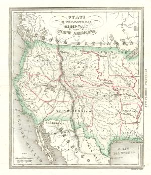
An uncommon Italian map of the western United States
MARMOCCHI, Francesco C. Date: 1858Stock #: 24374 £450.00 -
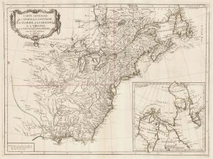
The Eastern Seaboard of North America
SANTINI, Francesco & Paolo. Date: 1776Stock #: 22824 £600.00 -
‘The Buffalo map’ of the Mississippi
HOMANN, Johann Baptist. Date: 1720Stock #: 24427 £2,000.00 -
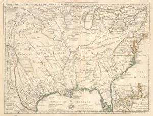
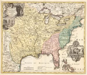
Delisle’s influential map of Louisiana.
DELISLE, Guillaume. Date: 1745Stock #: 25319 £2,500.00 -
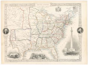
Map of the United States with decorative vignettes
TALLIS, John. Date: 1851Stock #: 23481 £300.00 -
A British military atlas for the American War of Independence
SAYER, Robert & BENNETT, John. Date: 1776Stock #: 18436 £16,000.00
Items by the same author
Add to Wishlist
Add to Wishlist
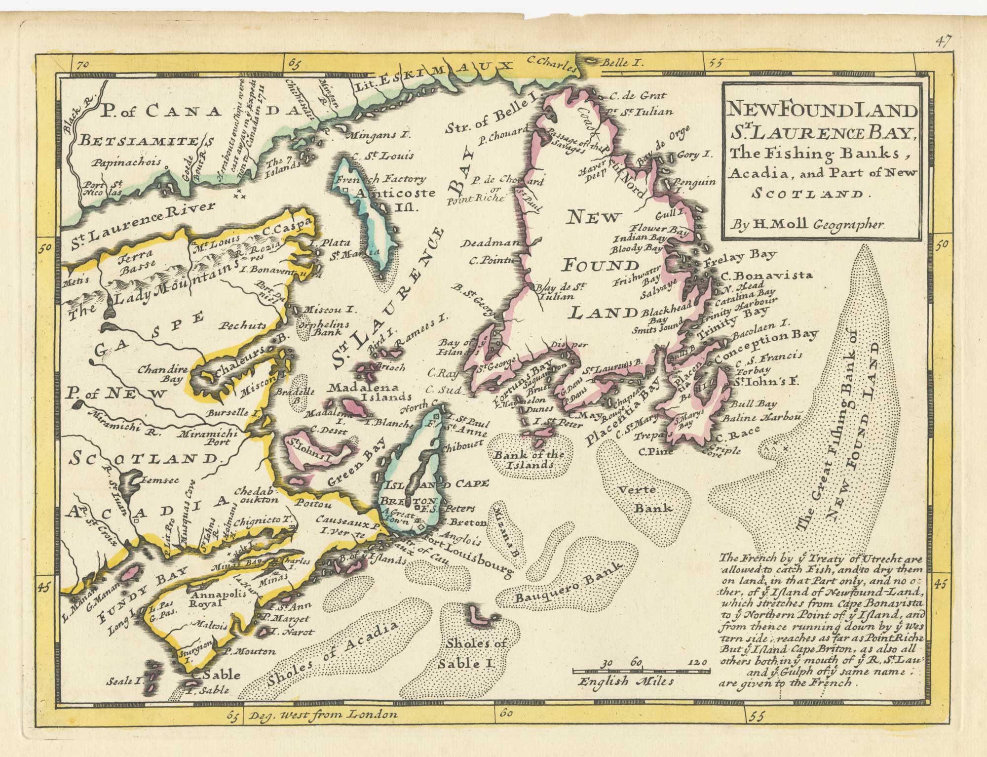
A map of Newfoundland according to the Treaty of Utrecht
MOLL, Herman. Date: 1732 Stock #: 25654 £400.00
Add to Wishlist
Add to Wishlist

18th century English map of Tartary
MOLL, Herman. Date: 1732 Stock #: 25671 £200.00
Add to Wishlist
Add to Wishlist

18th century English map of Asia
MOLL, Herman. Date: 1732 Stock #: 25670 £300.00
Add to Wishlist
Add to Wishlist
