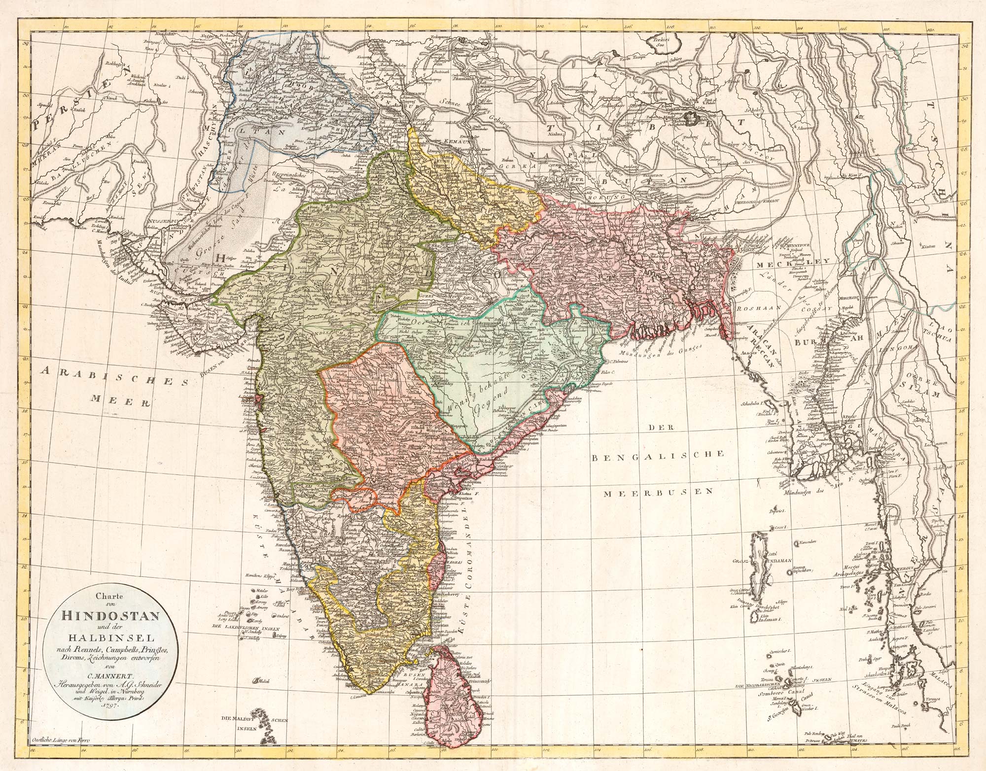


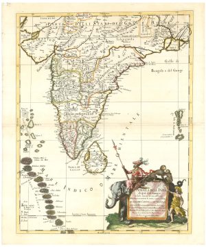
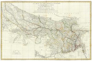
A late 18th century map of India.
Charte von Hindostan und der Halbinsel nach Rennels, Cambells, Pringles, Diroms, Zeichnungen entworfen von C. Mannert.
Nurenburg, 1797. Original colour. 560 x 710mm.
£700.00
Description
A large and detailed map of India, utilising the mapping of English cartographers including James Rennell. It was published two years before the Fourth Anglo-Mysore War (1799) brought the sultanate under the control of the East India Company.
Konrad Mannert (1756-1834) was a cartographer and Professor of History.
Condition:
A good example.Related products
-
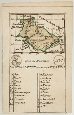
An 18th century playing-card map of the Mughal Empire
RABATTA, Augusto & BAILOU, Jean Baptist de. Date: 1779Stock #: 13009 £200.00 -
A four-sheet map of India in the 18th century
JEFFERYS, Thomas. Date: 1768Stock #: 23966 £2,800.00 -
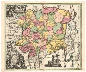
18th century map of the Mogol Empire
SEUTTER, Matthaus. Date: 1730Stock #: 23917 £650.00 -
17th century map of India after Cantelli da Vignola
CANTELLI DA VIGNOLA, Giacomo. Date: 1683Stock #: 24409 £1,100.00 -
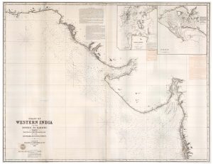
A two-sheet sea chart of the coast between Mumbai and Karachi
IMRAY, James & Son. Date: 1867Stock #: 23377 £1,800.00 -
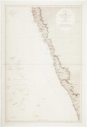
An uncommon 19th century Spanish sea chart of south west India with Lakshadweep
DIRECCION HIDROGRAFICA DE MADRID. Date: 1870Stock #: 12283 £650.00 -
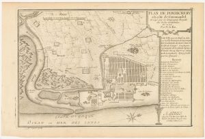
A plan of Puducherry at the beginning of the 18th century
FER, Nicolas de. Date: 1705Stock #: 23913 £160.00 -
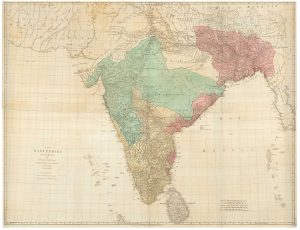
Rennell’s mapping of northern India and Bengal
RENNELL, James. Date: 1778Stock #: 24721 £1,400.00 -
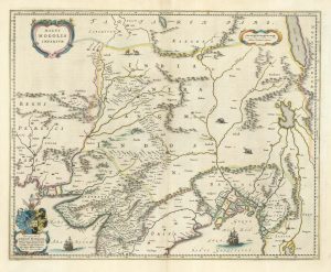
17th century map of the Mogol Empire in northern India
BLAEU, Johannes. Date: 1640Stock #: 24911 £750.00