


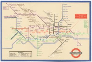
A Tube poster for Bond Street Station
[Bond Street Station] Map of District within ¼ Mile Radius of this Station.
London: Stanford's Geographical Establishment for London Passenger Transport Board, 1934. Colour-printed map. Sheet 765 x 500mm.
£2,800.00
Description
An extremely rare poster map, published in very limited numbers for use at Bond Street only; the code bottom left suggests only 100 were printed. Based on the Ordnance Survey, the map encompasses Grosvenor Square, Manchester Square and Cavendish Square, with parts of Hanover Square and Portman Square.
The Beck tube map was introduced the year before this poster was published.
Condition:
Laid on linen.Related products
-
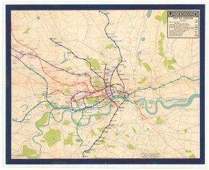
A rare pre-Beck poster map of the London Underground
STINGEMORE, Frederick H. Date: 1932Stock #: 23449 £7,500.00 -
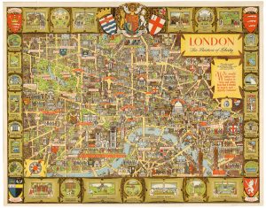
A post-war pictorial wall map of London
LEE, Kerry. Date: 1955Stock #: 23970 £1,400.00 -
A pre-Beck map of the London Underground
STINGEMORE, Frederick H. Date: 1920Stock #: 24743 £500.00 -
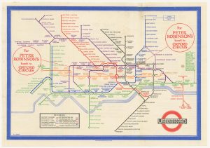
A ‘Double Crown’ poster map of the Tube by Beck
BECK, Henry C. Date: 1935Stock #: 21892 £14,000.00 -
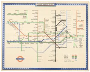
A rare 1937 ‘Quad Royal’ Beck poster map of the London Underground
BECK, Henry C. Date: 1937Stock #: 24857 £15,000.00 -
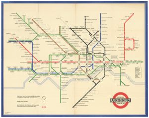
A scarce 1948 ‘Quad Royal’ station map of the Underground by Beck
BECK, Henry C. Date: 1948Stock #: 22731 £8,500.00 -
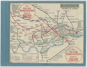
The First Issue of the iconic map of the London Underground, with overprinting
BECK, Henry C. Date: 1933Stock #: 24422 £2,500.00 -
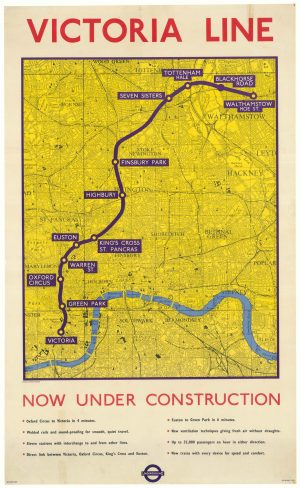
A map of the proposed Victoria Line
LONDON TRANSPORT. Date: 1962Stock #: 18475 £1,200.00 -
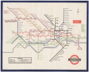
An early example of the iconic map of the London Underground
BECK, Henry C. Date: 1934Stock #: 23306 £450.00
Items by the same author
[ti_wishlists_addtowishlist]
A superb 20" diameter Bank tube station roundel
LONDON TRANSPORT. Date: 1950 Stock #: 24627 £3,900.00
[ti_wishlists_addtowishlist]

Early 'Underground' 27" diameter external station roundel
LONDON TRANSPORT. Date: 1950 Stock #: 24954 £4,500.00
[ti_wishlists_addtowishlist]

A ''You Are Here'' poster for London Bridge Underground Station
LONDON TRANSPORT. Date: 1958 Stock #: 18473 £1,800.00
[ti_wishlists_addtowishlist]

A ''You Are Here'' poster for Holborn Underground Station
LONDON TRANSPORT. Date: 1946 Stock #: 18474 £1,800.00
[ti_wishlists_addtowishlist]

[ti_wishlists_addtowishlist]
