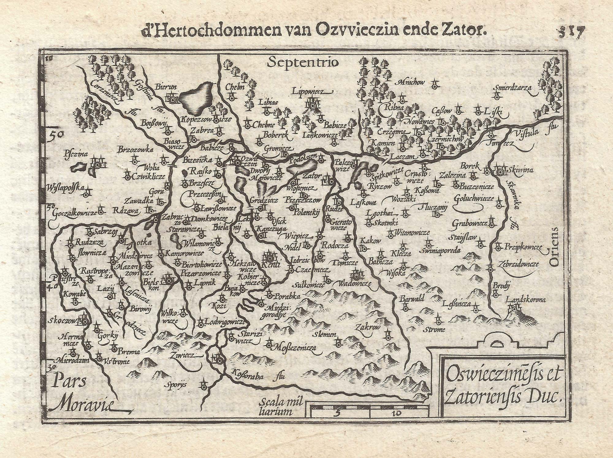


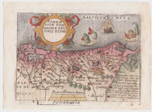
A 16th century miniature map of Oswiecim & Zator
Oswieczimensis & Zatoriensis Duc.
Amsterdam, Cornelis Claez, 1599, Dutch text edition. 85 x 125mm, with letterpress surtitle and pagination.
£110.00
1 in stock
x
Question About This Item?
A 16th century miniature map of Oswiecim & Zator & LANGENES, Barent.Stock #: 21317Similar to Sell?
Description
A scarce map of the environs of Oswiecim, engraved by either Jodocus Hondius or Pieter van der Keere for the 'Caert-Thresoor', with a text by an unknown author. Despite being published only a year after the first edition, this is a second state: the left border has been re-engraved with latitude graduations.
By 1600 this map was being published in the 'Tabularum Geographicarum Contractarum' with a text by Petrus Bertius, and in 1616 a new plate was engraved by Jodocus Hondius II, slightly larger and with wider borders with scales of longitude and latitude.
Condition:
A good example.Related products
-
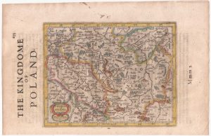
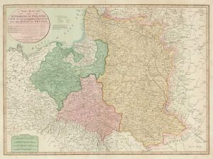
Poland from the first English Edition of the ‘Atlas Minor’
HONDIUS, Jodocus. Date: 1635Stock #: 22441 £180.00 -
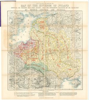
A map showing territorial losses suffered by Poland
STANFORD, Edward. Date: 1863Stock #: 18823 £675.00 -

An atlas of the Partitioning of Poland
CHODZKO, Leonard & DUFOUR, Auguste-Henri. Date: 1832Stock #: 21937 £1,800.00 -
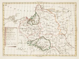
Uncommon map of Poland with the First Partition
ZATTA, Antonio. Date: 1780Stock #: 13853 £160.00 -
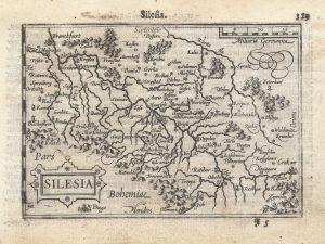
A 16th century miniature map of Silesia
LANGENES, Barent. Date: 1599Stock #: 21325 £160.00 -
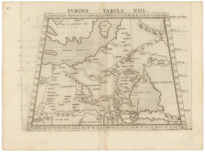
A 16th century map of eastern Europe according to Ptolemy
RUSCELLI, Girolamo. Date: 1599Stock #: 22245 £220.00 -
Map of the Partitions of Poland
LAURIE & WHITTLE. Date: 1799Stock #: 19028 £450.00 -
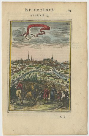
A 17th century prospect of Krakow
MALLET, Alain Manesson. Date: 1683Stock #: 24768 £250.00 -
A pirated edition of the Ortelius Epitome map of eastern Pomerania
ORTELIUS, Abraham. Date: 1655Stock #: 21723 £160.00
Items by the same author
[ti_wishlists_addtowishlist]

[ti_wishlists_addtowishlist]

A 16th century miniature map of Saxony, Thuringia & Meissen
LANGENES, Barent. Date: 1599 Stock #: 21173 £50.00
[ti_wishlists_addtowishlist]

[ti_wishlists_addtowishlist]

[ti_wishlists_addtowishlist]

A 16th century miniature map of the Comtat Venaissin
LANGENES, Barent. Date: 1599 Stock #: 21137 £55.00
[ti_wishlists_addtowishlist]
