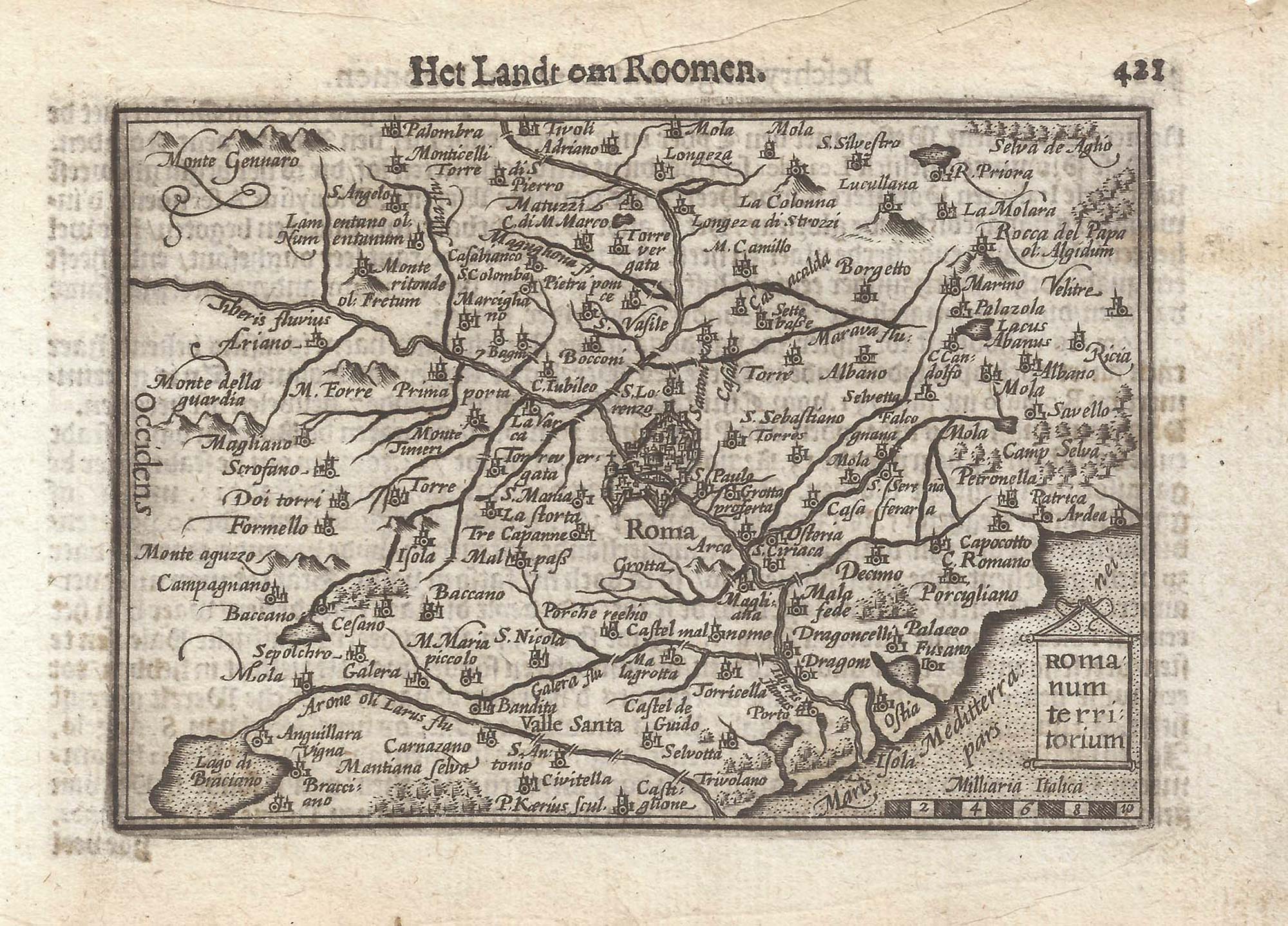


A 16th century miniature map of Lazio
Romanum territorium.
Amsterdam, Cornelis Claez, 1599, Dutch text edition. 85 x 125mm, with letterpress surtitle and pagination.
£140.00
Description
A scarce map of the environs of Rome engraved by either Jodocus Hondius or Pieter van der Keere for the 'Caert-Thresoor', with a text by an unknown author.
By 1600 this map was being published in the 'Tabularum Geographicarum Contractarum' with a text by Petrus Bertius, and in 1616 a new plate was engraved by Jodocus Hondius II, slightly larger and with wider borders with scales of longitude and latitude.
Condition:
A good example.Related products
-
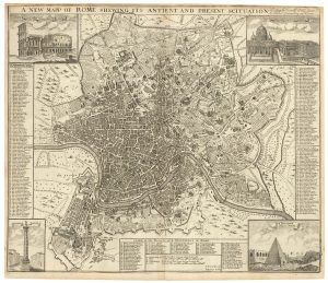
A scarce English plan of Rome
SENEX, John. Date: 1721Stock #: 23926 £1,100.00 -

A lifetime example of Piranesi’s view of the Piazza Navona
PIRANESI, Giovanni Battista. Date: 1773Stock #: 23091 £6,000.00 -
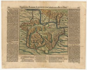
A 16th century woodcut map of Classical Rome
MUNSTER, Sebastian. Date: 1572Stock #: 24572 £220.00 -
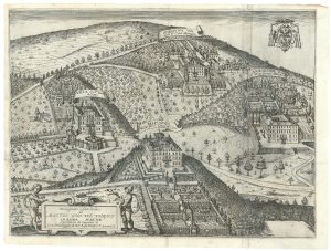
A 17th century view of the villas of Frascati
GREUTER, Matthaus. Date: 1620Stock #: 24825 £400.00 -
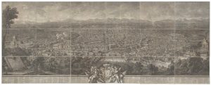
One of the largest printed prospects of Rome
VASI, Giuseppe. Date: 1765Stock #: 24364 £15,000.00 -
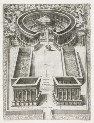
A reconstruction of the aviary of Marcus Terentius Varro
BRAMBILLA, Ambrogio. Date: 1607Stock #: 18876 £850.00 -
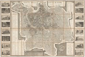
Early 19th century town plan of Rome with decorative borders
RUGA, Pietro. Date: 1827Stock #: 22213 £1,200.00 -
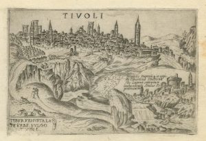
A 16th century town plan of Tivoli
VALEGIO, Francesco. Date: 1598Stock #: 24192 £140.00 -

A superb prospect of Rome
GARIBOLDI, Gaetano. Date: 1840Stock #: 25239 £2,900.00
Items by the same author
[ti_wishlists_addtowishlist]

[ti_wishlists_addtowishlist]

A 16th century miniature map of Saxony, Thuringia & Meissen
LANGENES, Barent. Date: 1599 Stock #: 21173 £50.00
[ti_wishlists_addtowishlist]

[ti_wishlists_addtowishlist]

[ti_wishlists_addtowishlist]

A 16th century miniature map of the Comtat Venaissin
LANGENES, Barent. Date: 1599 Stock #: 21137 £55.00
[ti_wishlists_addtowishlist]
