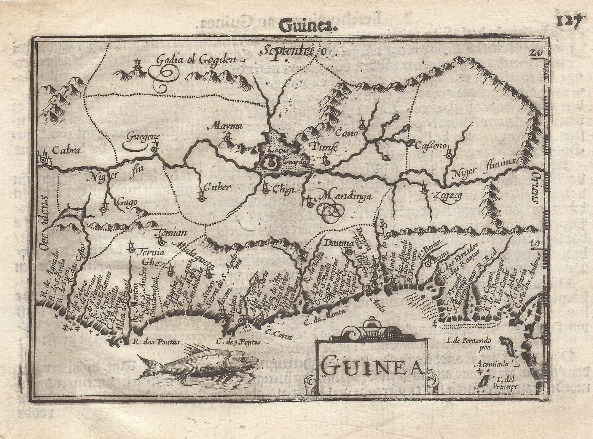


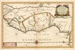
A 16th century miniature map of Guinea
Guinea.
Amsterdam, Cornelis Claez, 1599, Dutch text edition. 85 x 125mm, with letterpress surtitle and pagination.
£120.00
Description
A scarce map of Guinea, engraved by either Jodocus Hondius or Pieter van den Keere for the 'Caert-Thresoor', with a text by an unknown author. Despite being published only a year after the first edition, this is a second state: the right border has been re-engraved with latitude graduations.
By 1600 this map was being published in the 'Tabularum Geographicarum Contractarum' with a text by Petrus Bertius, and in 1616 a new plate was engraved by Jodocus Hondius II, slightly larger and with wider borders with scales of longitude and latitude.
Condition:
A good example.Related products
-
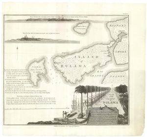
The Nova Scotian Settlers on Bolama
WADSTROM, Carl Bernard. Date: 1795Stock #: 25181 £600.00 -
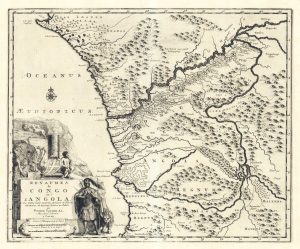
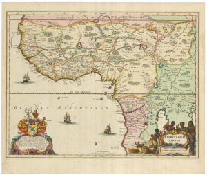
Early 18th century map of Congo & Angola
AA, Pieter van der. Date: 1720Stock #: 19131 £220.00 -
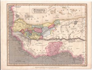
West Africa with the infamous ‘Mountains of Kong’
NEELE & SON. Date: 1838Stock #: 22432 £110.00 -
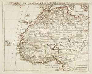
Large map of West Africa published at the end of the 18th century
DELISLE, Guillaume. Date: 1798Stock #: 14029 £300.00 -
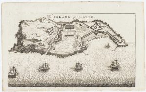
Map of the island of Gorée to illustrate news of the Seven Years’ War
Anonymous. Date: 1759Stock #: 14901 £100.00 -
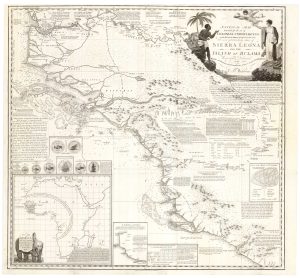
An Abolitionist’s map of Sierra Leone
WADSTROM, Carl Bernard. Date: 1795Stock #: 25184 £3,500.00 -
A 17th century old map of the Gulf of Guinea in West Africa
JANSSON, Jan. Date: 1680Stock #: 23630 £500.00 -
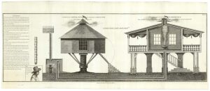
Designs of houses for use in the Sierra Leone colony
WADSTROM, Carl Bernard. Date: 1795Stock #: 25251 £250.00 -
Du Val’s folio map of the slave forts of the Gulf of Guinea
DU VAL, Pierre. Date: 1671Stock #: 23256 £480.00
Items by the same author
[ti_wishlists_addtowishlist]

[ti_wishlists_addtowishlist]

A 16th century miniature map of Saxony, Thuringia & Meissen
LANGENES, Barent. Date: 1599 Stock #: 21173 £50.00
[ti_wishlists_addtowishlist]

[ti_wishlists_addtowishlist]

[ti_wishlists_addtowishlist]

A 16th century miniature map of the Comtat Venaissin
LANGENES, Barent. Date: 1599 Stock #: 21137 £55.00
[ti_wishlists_addtowishlist]
