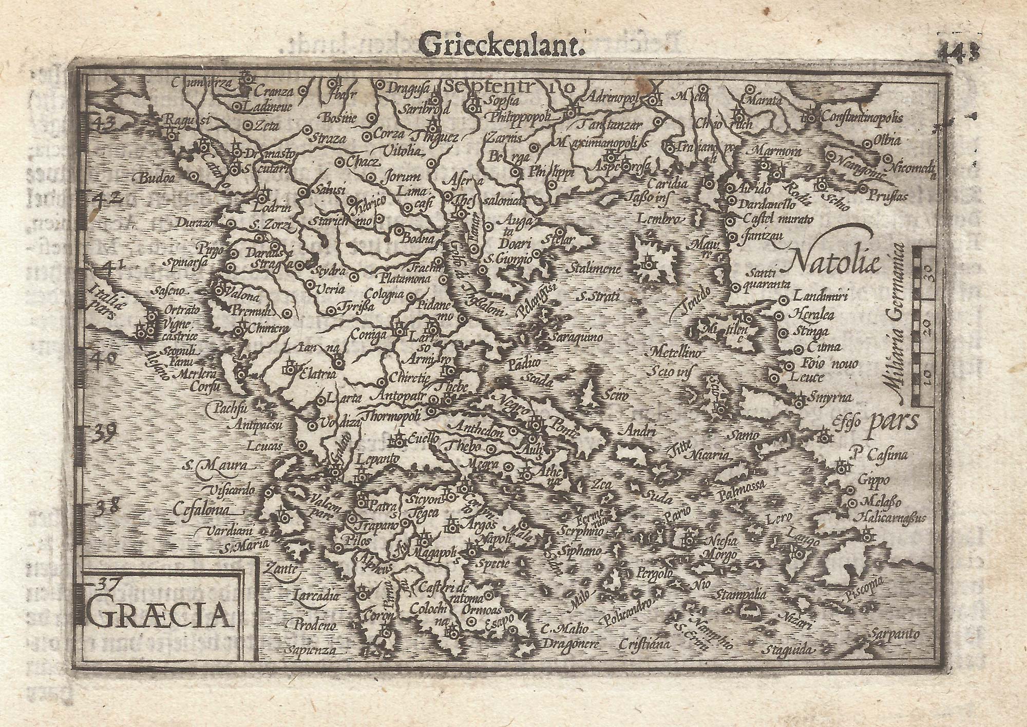


A 16th century miniature map of Greece
Graecia.
Amsterdam, Cornelis Claez, 1599, Dutch text edition. 85 x 125mm, with letterpress surtitle and pagination.
£160.00
Description
A scarce map of Greece, engraved by either Jodocus Hondius or Pieter van der Keere for the 'Caert-Thresoor', with a text by an unknown author. Despite being published only a year after the first edition, this is a second state: the left border has been re-engraved with latitude graduations.
By 1600 this map was being published in the 'Tabularum Geographicarum Contractarum' with a text by Petrus Bertius, and in 1616 a new plate was engraved by Jodocus Hondius II, slightly larger and with wider borders with scales of longitude and latitude.
Condition:
A good example.References:
ZACHARAKIS: 1839.Related products
-
An uncommon woodcut map of Greece
ROSACCIO, Giuseppe. Date: 1615Stock #: 22462 £200.00 -
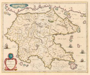
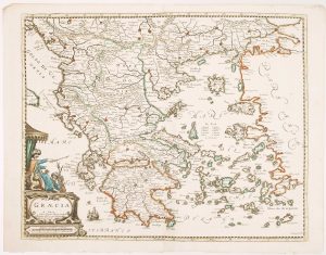
17th century map of the Morea
BLAEU, Willem Janszoon. Date: 1640Stock #: 20419 £300.00 -
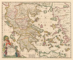
A late 17th century map of Greece in fine colour
DE WIT, Frederick. Date: 1680Stock #: 20417 £750.00 -
A scarce 17th century map of Greece
BEREY, Nicolas. Date: 1663Stock #: 16597 £2,200.00 -
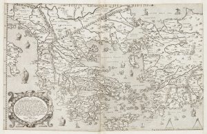
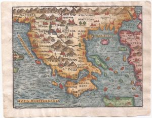
One of the earliest versions of Sophianos’s map of Greece
BERTELLI, Ferrando Date: 1564Stock #: 24220 £14,000.00 -
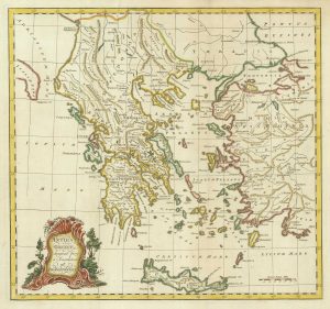
A map of Greece at the time of Demosthenes
Anonymous. Date: 1757Stock #: 21218 £240.00 -
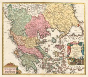
A decorative 18th century map of Greece
SEUTTER, Matthaus. Date: 1750Stock #: 22308 £500.00 -
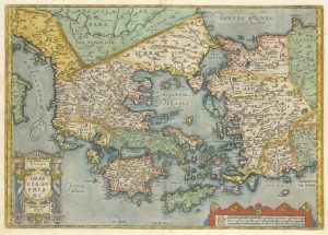
Map of Ancient Greece by Ortelius, rare first printing
ORTELIUS, Abraham. Date: 1587Stock #: 23549 £1,000.00 -
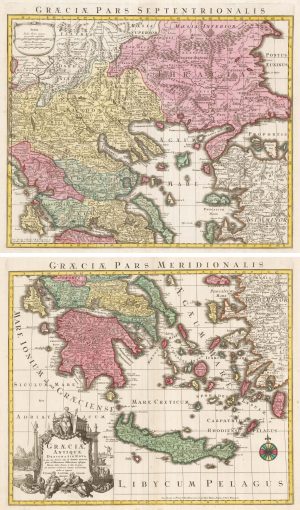
A 18th century two-sheet map of Ancient Greece
SEUTTER, Matthaus. Date: 1760Stock #: 22403 £450.00
Items by the same author
[ti_wishlists_addtowishlist]

[ti_wishlists_addtowishlist]

A 16th century miniature map of Saxony, Thuringia & Meissen
LANGENES, Barent. Date: 1599 Stock #: 21173 £50.00
[ti_wishlists_addtowishlist]

[ti_wishlists_addtowishlist]

[ti_wishlists_addtowishlist]

[ti_wishlists_addtowishlist]