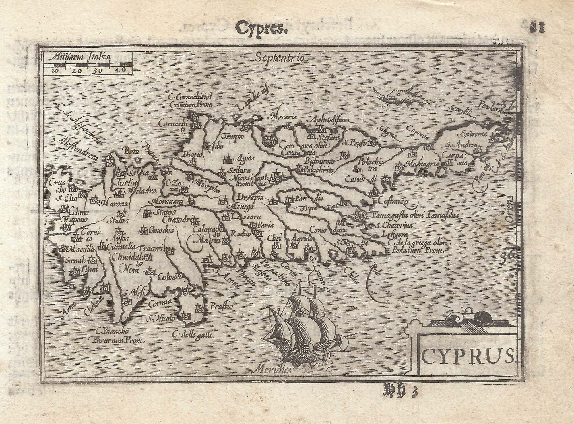


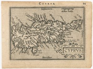
A 16th century miniature map of Cyprus
Cyprus.
Amsterdam, Cornelis Claez, 1599, Dutch text edition. 85 x 125mm, with letterpress surtitle and pagination.
£550.00
Description
A scarce map of Cyprus, engraved by either Jodocus Hondius or Pieter van der Keere for the 'Caert-Thresoor', with a text by an unknown author. Despite being published only a year after the first edition, this is a second state: the right border has been re-engraved with latitude graduations.
By 1600 this map was being published in the 'Tabularum Geographicarum Contractarum' with a text by Petrus Bertius, and in 1616 a new plate was engraved by Jodocus Hondius II, slightly larger and with wider borders with scales of longitude and latitude.
Condition:
A good example.References:
Cyprus: the Book of Maps, 42.2.Related products
-
18th century sea chart of the Mediterranean
SEALE, Richard William. Date: 1745Stock #: 24897 £650.00 -
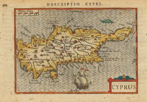
Early 17th century miniature map of Cyprus
BERTIUS, Petrus. Date: 1603Stock #: 20994 £380.00 -
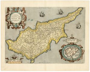
A classic 16th century Dutch map of Cyprus
ORTELIUS, Abraham. Date: 1595Stock #: 23815 £1,600.00 -
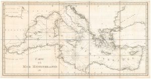
A detailed 18th century chart of the Mediterranean Sea
DUPUIS, Louis André. Date: 1785Stock #: 18383 £1,200.00 -
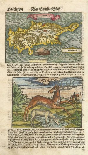
16th century woodblock map of Cyprus
MUNSTER, Sebastian. Date: 1578Stock #: 21647 £350.00 -
The scarce second Galle plate for Cyprus used in the ‘Epitome’
ORTELIUS, Abraham. Date: 1598Stock #: 23195 £500.00 -
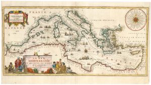
A decorative early 18th century chart of the Mediterranean
FER, Nicolas de. Date: 1654Stock #: 25252 £2,750.00 -
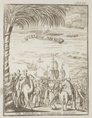
Frontispiece from ‘Peregrinus in Jerusalem’
MYLLER, Angelicus Maria. Date: 1735Stock #: 17187 £160.00 -
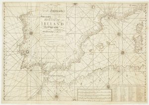
A scarce Irish chart of the Western part of the Mediterranean
GRIERSON, George Date: 1735Stock #: 14456 £2,000.00
Items by the same author
[ti_wishlists_addtowishlist]

[ti_wishlists_addtowishlist]

A 16th century miniature map of Saxony, Thuringia & Meissen
LANGENES, Barent. Date: 1599 Stock #: 21173 £50.00
[ti_wishlists_addtowishlist]

[ti_wishlists_addtowishlist]

[ti_wishlists_addtowishlist]

A 16th century miniature map of the Comtat Venaissin
LANGENES, Barent. Date: 1599 Stock #: 21137 £55.00
[ti_wishlists_addtowishlist]
