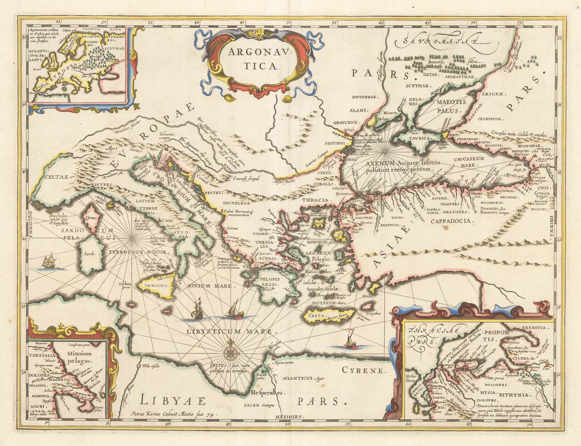


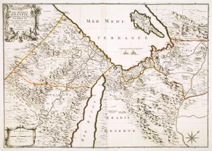
A map illustrating ‘Jason and the Argonauts’
Argonautica.
Amsterdam, c.1700. Old colour. 380 x 500mm.
£600.00
1 in stock
x
Question About This Item?
A map illustrating ‘Jason and the Argonauts’ & JANSSON, Jan.Stock #: 22875Similar to Sell?
Description
A classic map of the Eastern Mediterranean, showing the route of Jason and the Argo through the Aegean into the Black Sea to Colchis.
Engraved by Pieter van den Keere for Jansson's 'Geographia Vetus'.
Condition:
A good example.Related products
-
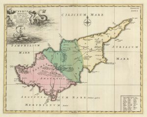
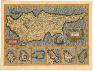
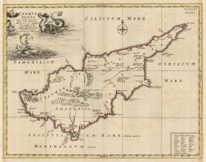
A rare map of Cyprus in classical times
MORTIER, Pierre. Date: 1705Stock #: 23552 £3,000.00 -
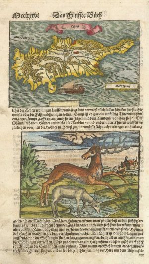
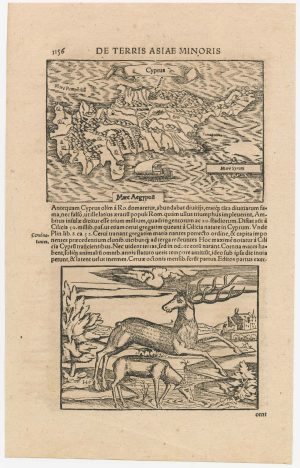
16th century woodblock map of Cyprus
MUNSTER, Sebastian. Date: 1578Stock #: 21647 £350.00 -
Early 18th century bible map of the Eastern Mediterranean
LINDENBERG, I. Date: 1636Stock #: 23099 £480.00 -
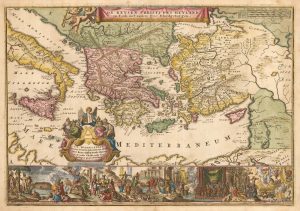
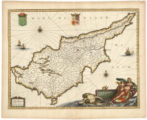
17th century map of Cyprus and the islands of the Aegean in fabulous colour
HONDIUS, Jodocus. Date: 1623Stock #: 23015 £1,800.00 -
A classic 17th century decorative map of Cyprus
JANSSON, Jan. Date: 1680Stock #: 23017 £1,600.00 -
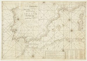
A scarce Irish chart of the Western part of the Mediterranean
GRIERSON, George Date: 1735Stock #: 14456 £2,000.00 -
A map of the monastics of the Eastern Mediterranean
MICHALET, Etienne. Date: 1695Stock #: 8480 £700.00 -
A rare edition of the Cyprus map in classical times
MORTIER, Pierre. Date: 1725Stock #: 19732 £2,800.00 -
16th century woodblock map of Cyprus
MUNSTER, Sebastian. Date: 1572Stock #: 23057 £280.00
Items by the same author
[ti_wishlists_addtowishlist]

A magnificent example of the first folio sea atlas of the World
JANSSON, Jan. Date: 1650 Stock #: 23074 £47,500.00
[ti_wishlists_addtowishlist]
[ti_wishlists_addtowishlist]

[ti_wishlists_addtowishlist]

[ti_wishlists_addtowishlist]

[ti_wishlists_addtowishlist]
