


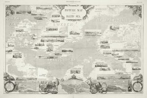
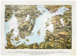
A pictorial map of the Baltic theatre of the Crimean War
Picture Map of the Baltic Sea.
London, 1856. Wood engraving, 500 x 760mm.
£325.00
1 in stock
x
Question About This Item?
A pictorial map of the Baltic theatre of the Crimean War & ILLUSTRATED LONDON NEWS.Stock #: 10369Similar to Sell?
Description
A large and lavishly illustrated map of the Baltic and countries bordering it, produced as a supplement to the Illustrated London News. With over fifty inset views and maps of the main cities of each country.
Produced soon after the end of the Crimean war, this map illustrates the areas where military action took place, especially Cronstadt, St Petersburg, and Finland (then part of the Russian Empire) where much of the miltary action took place, resulting in a stalemate.
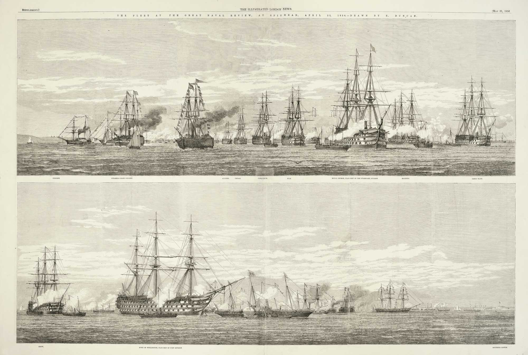
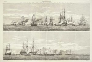
On the verso a representation of 'The Fleet At The Great Naval Review, At Spithead, April 23, 1856'.
Condition:
A good example.Related products
-
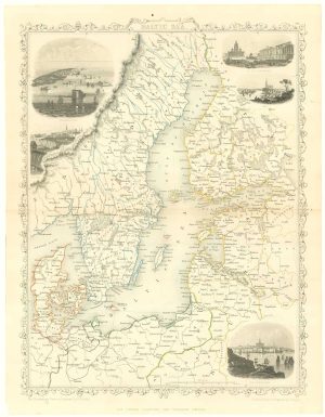
Mid 19th century map of the Baltic Sea
TALLIS, John. Date: 1860Stock #: 18556 £100.00 -
A map-view of the Baltic Sea during the Crimean War
READ & Co. Date: 1855Stock #: 20828 £750.00 -
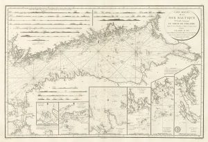
A sea chart of the Gulf of Finland published the year of Waterloo
Dépôt des Cartes et Plans de la Marine. Date: 1815Stock #: 18865 £1,000.00
Items by the same author
[ti_wishlists_addtowishlist]
