


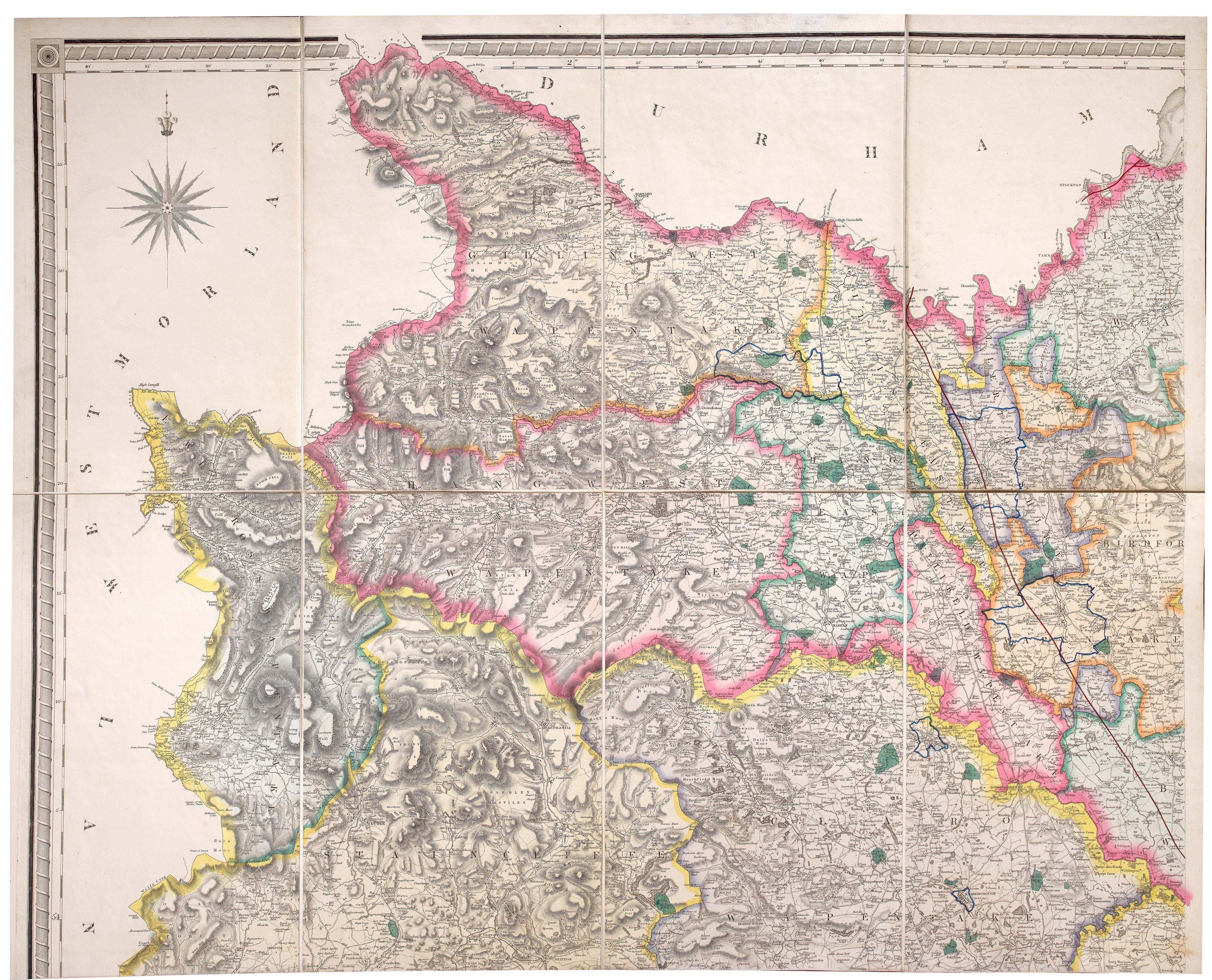
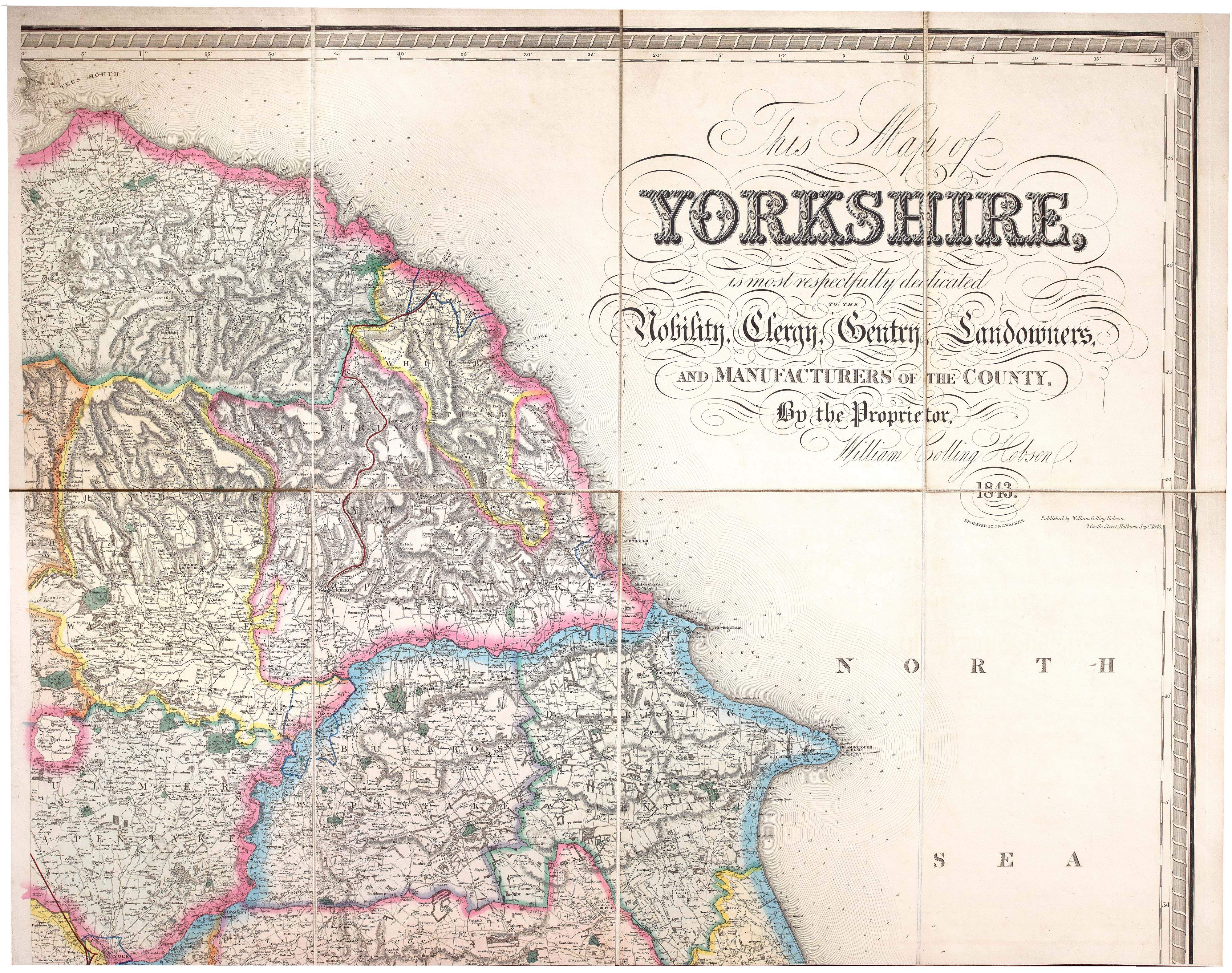
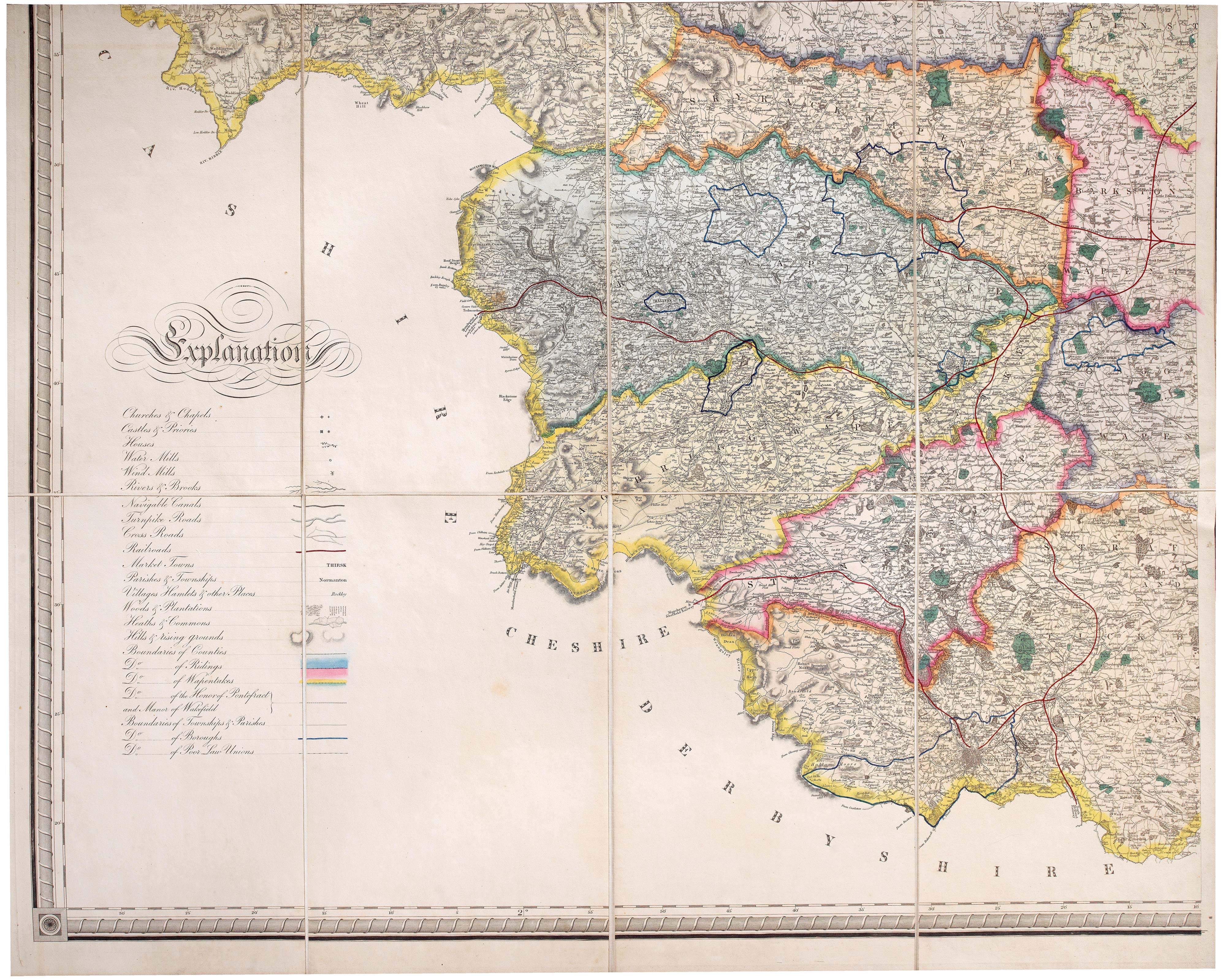
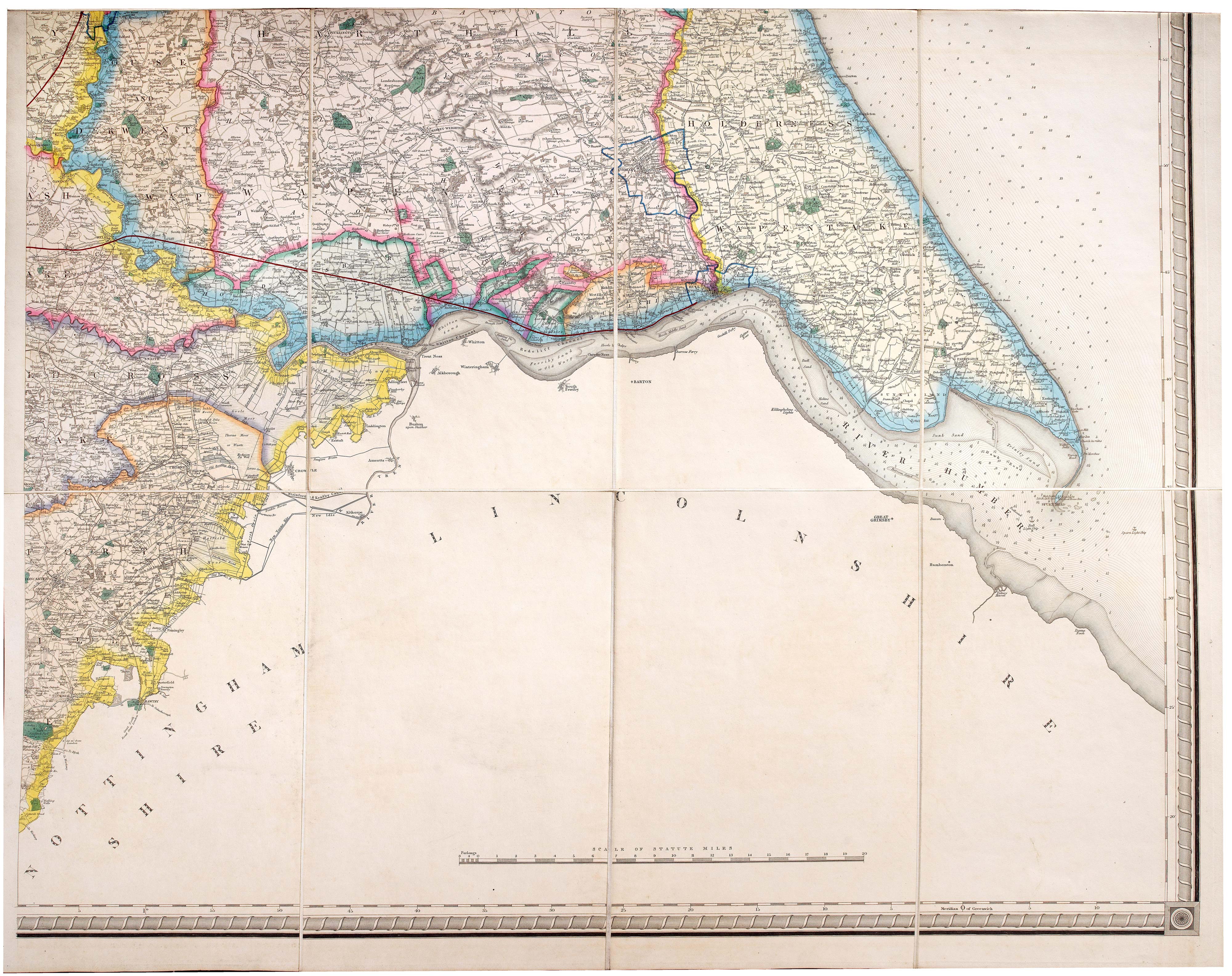
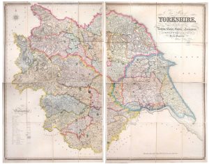
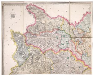
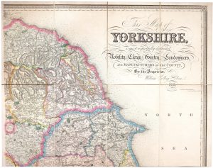

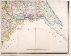
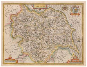
A large and detailed map of Yorkshire
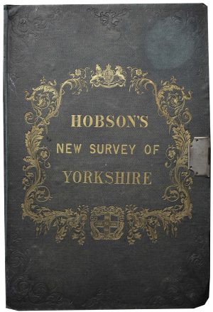
This Map of Yorkshire, is most respectfully dedicated to the Nobility, Clergy, Gentry, Landownsers, and Manufacturers of the County, By the Proprietor, William Colling Hobson, 1843.
London: Hobson, 1843. Steel engraved map on four sheets, in fine original colour, dissected and laid on linen in two panels, each 1280 x 810mm (total if joined 1280 x 1620), folded into original green cloth gilt covers with original pewter clasp.
£550.00
1 in stock
x
Question About This Item?
A large and detailed map of Yorkshire & HOBSON, William Colling.Stock #: 23850
Add to Wishlist
Export as PDFEnquireSimilar to Sell?Add to Wishlist
Description
A large-scale map of Yorkshire in full colour, with an impressive amount of detail, including roads, railways, water mills and windmills, and the borders of Ridings, Wapentakes, the Honour of Pontefract, the Manor of Wakefield, Boroughs and Poor Law Unions.
Condition:
Covers a little wornRelated products
-
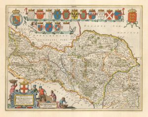
17th century map of the North Riding of Yorkshire in fine colour
BLAEU, Johannes. Date: 1662Stock #: 23040 £650.00 -
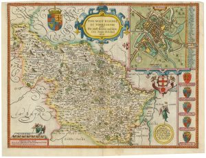
A rare issue of Speed’s map of the West Riding of Yorkshire
SPEED, John. Date: 1665Stock #: 24004 £1,400.00 -
A scarce issue of John Speed’s famous map of Yorkshire
SPEED, John. Date: 1665Stock #: 24036 £850.00 -
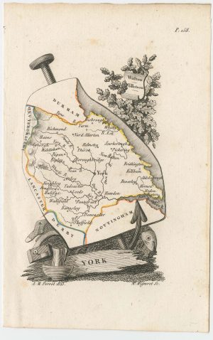
Miniature map of Yorkshire
PERROT, Aristide Michel. Date: 1828Stock #: 23138 £100.00