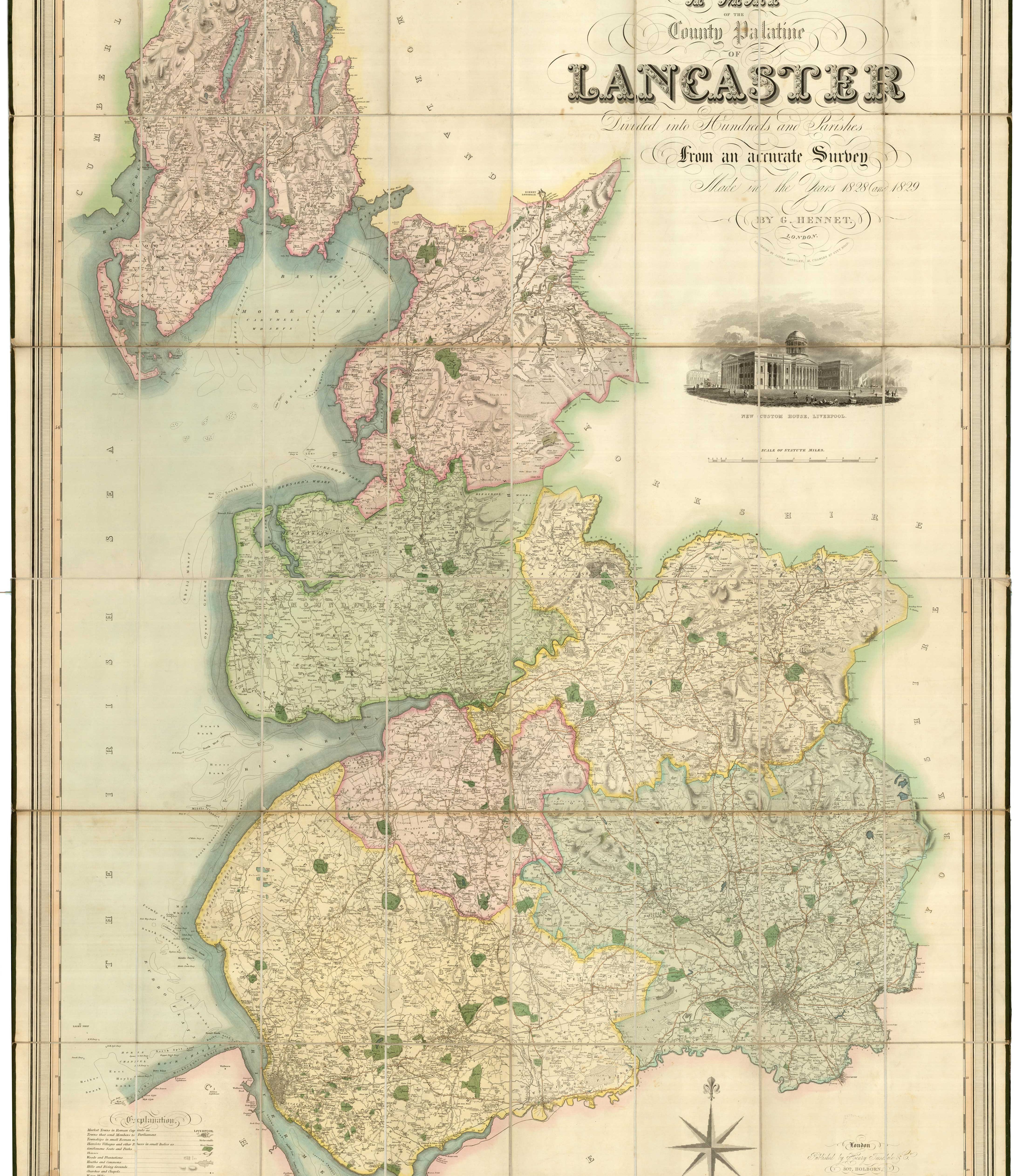


An uncommon large scale map of Lancashire in fine colour
A Map of the County Palatine of Lancaster Divided into Hundreds and Parishes from an accurate Survey made in the Years 1828 and 1829.
London: Henry Teesdale, 1830. Original colour. Dissected and laid on linen as issued. 1630 x 1290mm. With original full calf slip case.
£1,250.00
1 in stock
x
Question About This Item?
An uncommon large scale map of Lancashire in fine colour & HENNET, George.Stock #: 24065
Add to Wishlist
Export as PDFEnquireSimilar to Sell?Add to Wishlist
Description
Detailed large scale map of Lancashire, surveyed by George Hennet (1799-1857) and engraved by James Bingley. Top right, under the title is a vignette view of the New Custom House, Liverpool, engraved by Woolnoth after Barrow.
Condition:
Case scuffed and worn.Related products
-
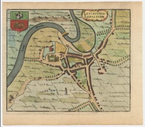
A 17th century townplan of Lancaster
HERMANNIDES, Rutger. Date: 1661Stock #: 22773 £150.00 -
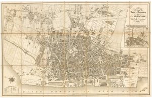
Scarce plan of Georgian Liverpool
FRANKS, James Henry Date: 1821Stock #: 22305 £800.00 -
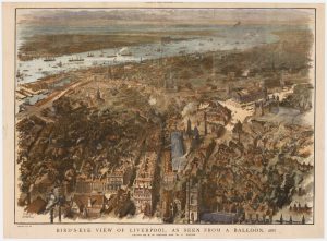
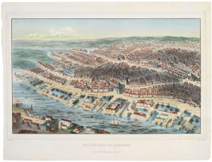
A balloon-view of Victorian Liverpool in full colour
BREWER, H.W. & WYLLIE, W.L. Date: 1885Stock #: 23922 £450.00 -
A scarce bird’s-eye view of Liverpool in the mid 19th century
WALTER, H. Date: 1840Stock #: 20834 £1,200.00 -
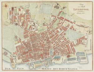
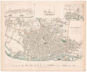
A detailed plan of early 19th century Liverpool
AUSTEN, Henry. Date: 1833Stock #: 20639 £575.00 -
Liverpool in 1810
Anonymous. Date: 1810Stock #: 19546 £140.00 -
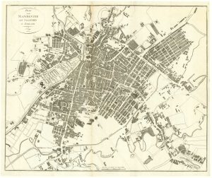
Plan of Manchester & Salford
Anonymous. Date: 1810Stock #: 15436 £160.00 -
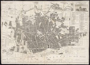
19th century plan of Liverpool
Society for the Diffusion of Useful Knowledge. Date: 1833Stock #: 20911 £120.00 -
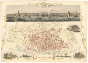
Highly decorative map of Liverpool with vignettes
TALLIS, John. Date: 1851Stock #: 24113 £550.00