


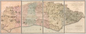
A large scale map of Sussex in fine colour
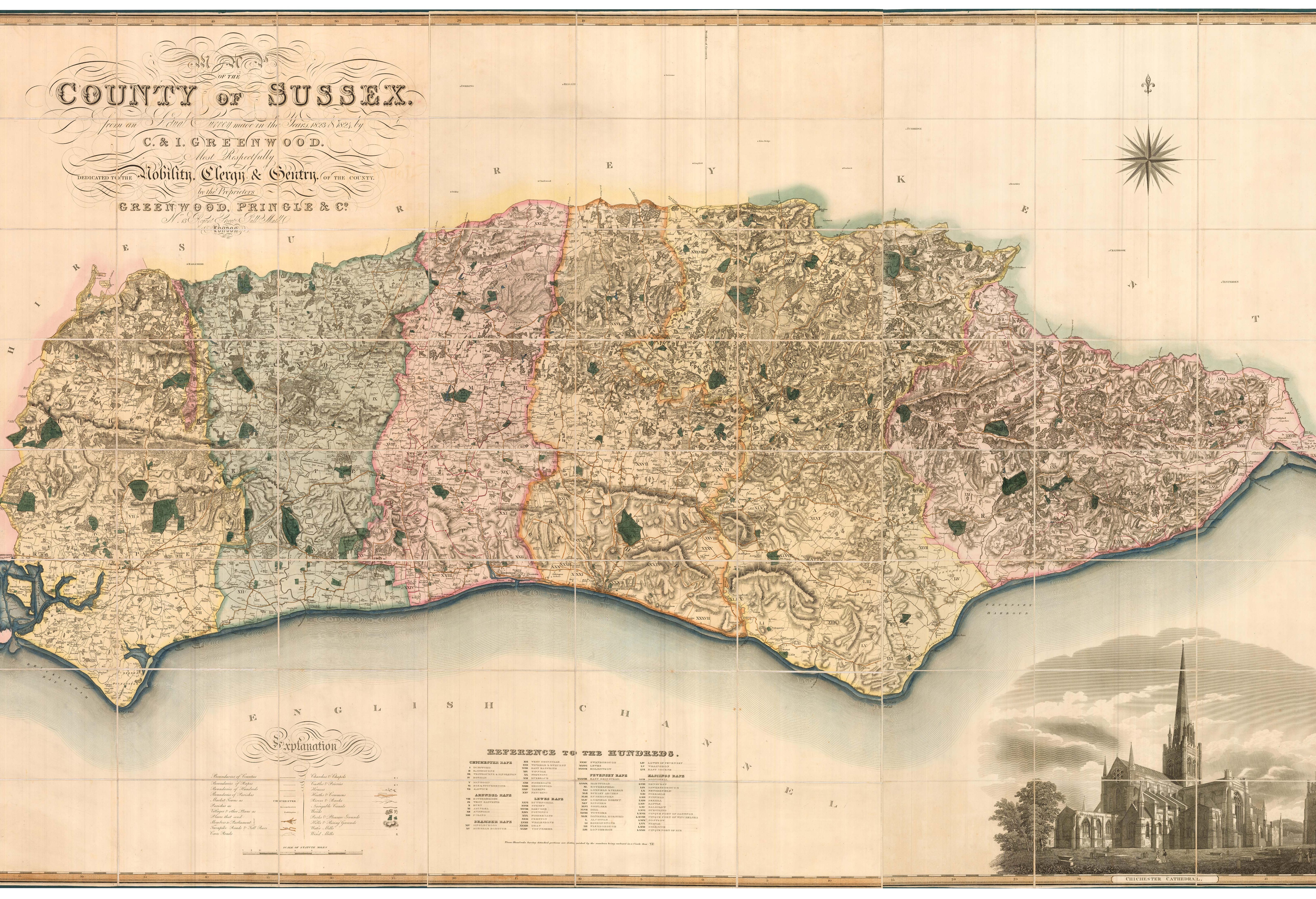
Map of the County of Sussex, from an Actual Survey made in the Years 1823 & 1824. By C. & I. Greenwood. Most Respectfully Dedicated to the Nobility, Clergy & Gentry of the County By the Proprietors.
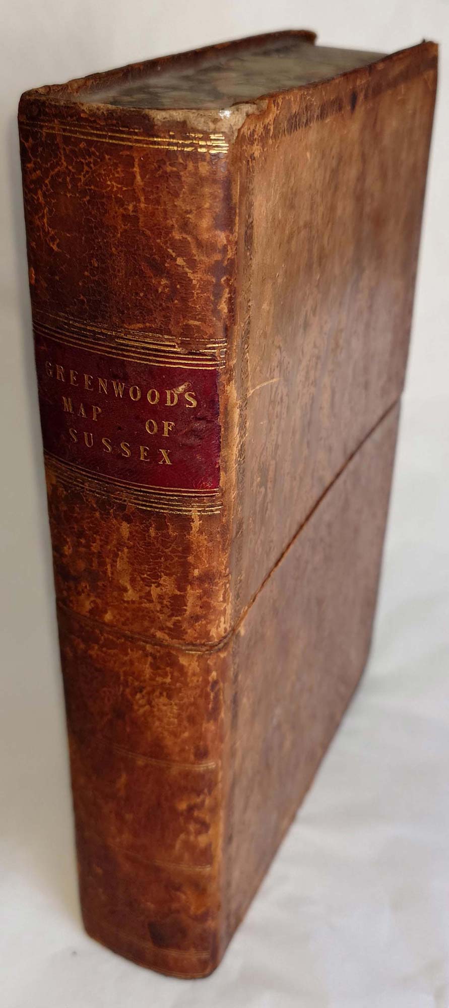
London: Greenwood, Pringle & C.o, 1825. Fine original colour. Dissected and laid on linen in three sections as issued, each 1270 x 705mm, total (if joined) 1270 x 2115mm, edged with silk, folded into the original calf case.
£2,800.00
1 in stock
x
Question About This Item?
A large scale map of Sussex in fine colour & GREENWOOD, C. & J.Stock #: 24224
Add to Wishlist
Export as PDFEnquireSimilar to Sell?Add to Wishlist
Description
A superbly detailed wall map of Sussex, marking wards, rapes, hundreds, parishes, towns, villages, turnpike roads, toll-bars, cross-roads, churches, castles, chapels, wind and water mills, heaths, commons and canals. Bottom left is a finely-engraved view of Chichester Cathedral.
Christopher Greenwood, later joined by his brother John, mapped all but five of the English counties in unprecedented detail, publishing their maps between 1817 and 1834, just as the age of the railway was beginning. The brothers ceased their work because of competition from the Ordnance Survey, but later issued a complete large-format atlas of county maps.
The bookplate is probably that of William Clegram (1784-1863), a civil engineer who worked on two major Sussex projects: Shorham Harbour (1817-25) and Brighton Chain Pier (1823).
Condition:
Case a little rubbed, bookplate of William Clegram on linen of all three sections.Related products
-
Map of Surrey and Sussex from Drayton’s fantastical ‘Poly-Olbion’
DRAYTON, Michael. Date: 1612Stock #: 14044 £450.00 -
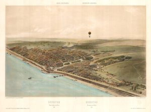
An unusual balloon view of Brighton in the 1840s
ARNOUT, Jules. Date: 1756Stock #: 23159 £650.00 -
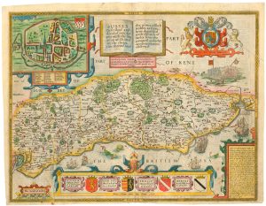
A scarce issue of John Speed’s map of Sussex
SPEED, John. Date: 1665Stock #: 24041 £1,250.00 -
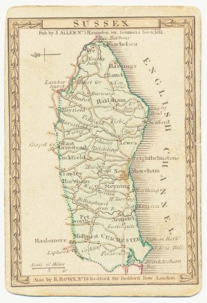
A scarce playing-card map of Sussex
ALLEN, Joseph. Date: 1811Stock #: 18736 £500.00 -
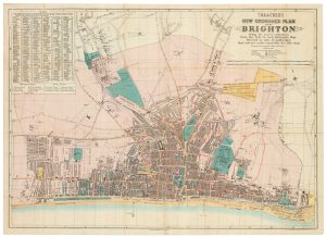
A late Victorian plan of Brighton
TREACHER, H. & C. Date: 1890Stock #: 24546 £1,100.00 -
The deluxe edition of an important large scale map of Sussex
GARDNER, William, YEAKELL, Thomas & GREAM, Thomas. Date: 1795Stock #: 22942 £2,000.00
Items by the same author
Add to Wishlist
Add to Wishlist
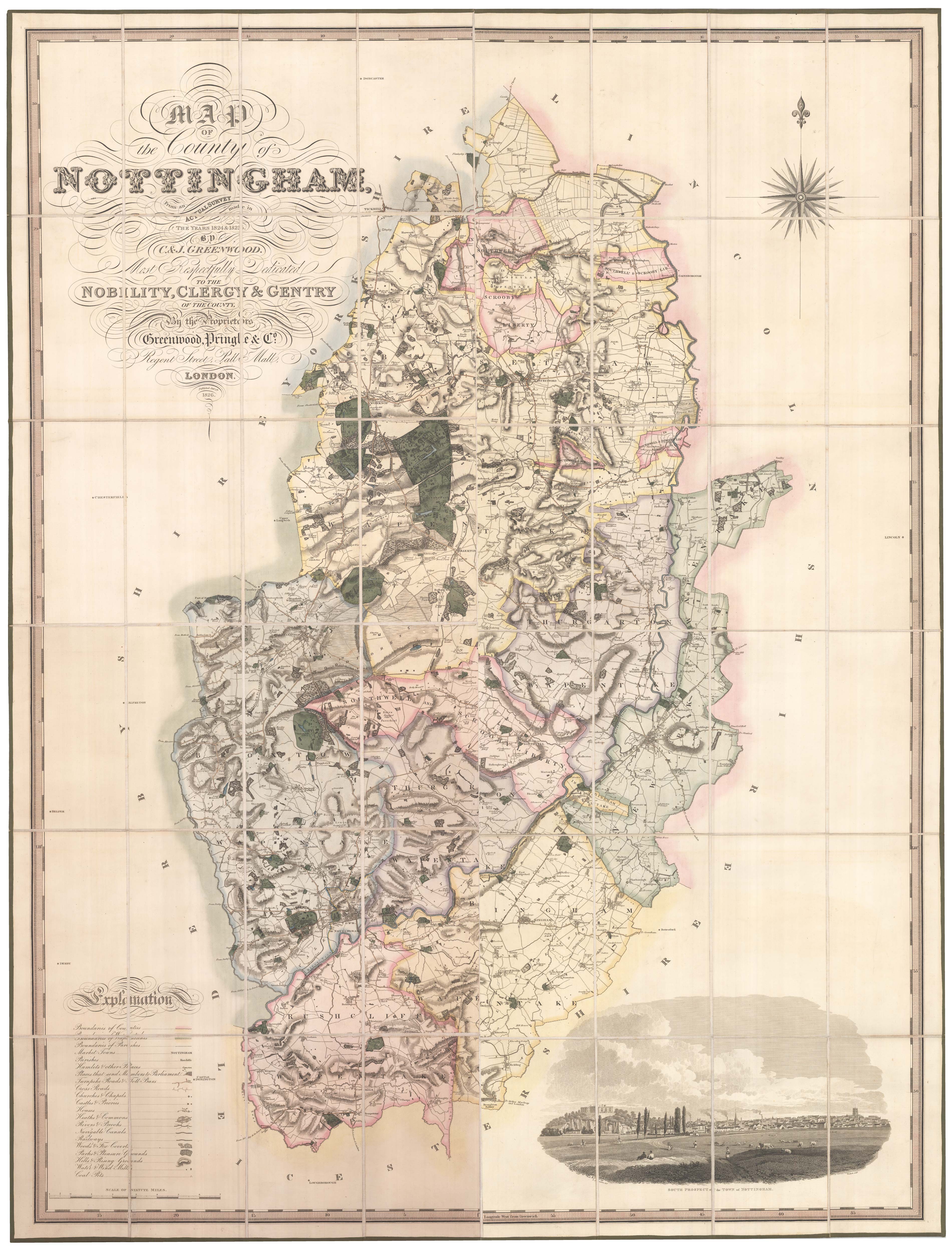
A large scale map of Nottinghamshire in fine colour
GREENWOOD, C. & J. Date: 1826 Stock #: 24066 £2,000.00
Add to Wishlist
Add to Wishlist
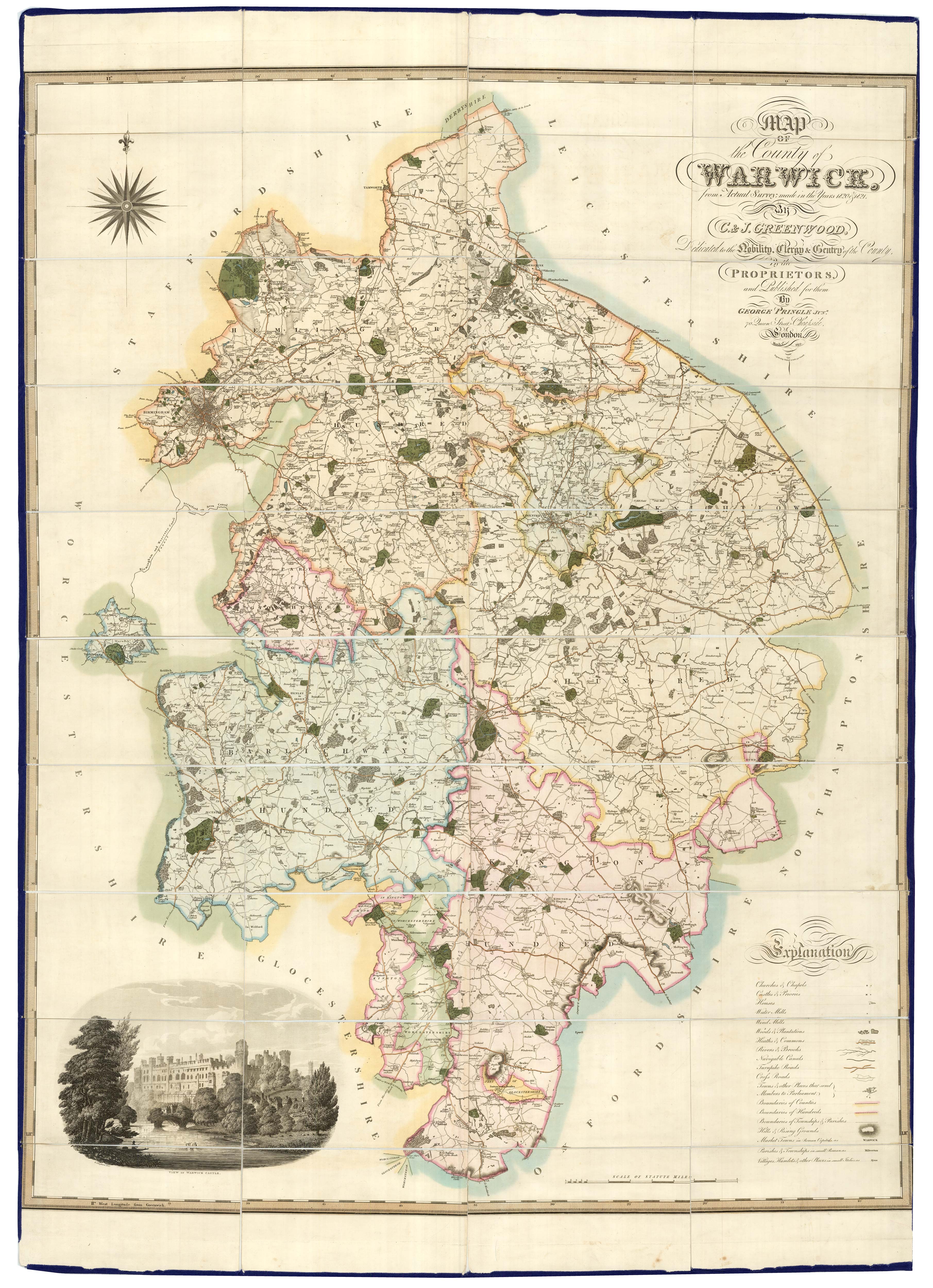
A large scale map of Warwickshire in fine colour
GREENWOOD, C. & J. Date: 1838 Stock #: 24068 £1,600.00
Add to Wishlist
Add to Wishlist
