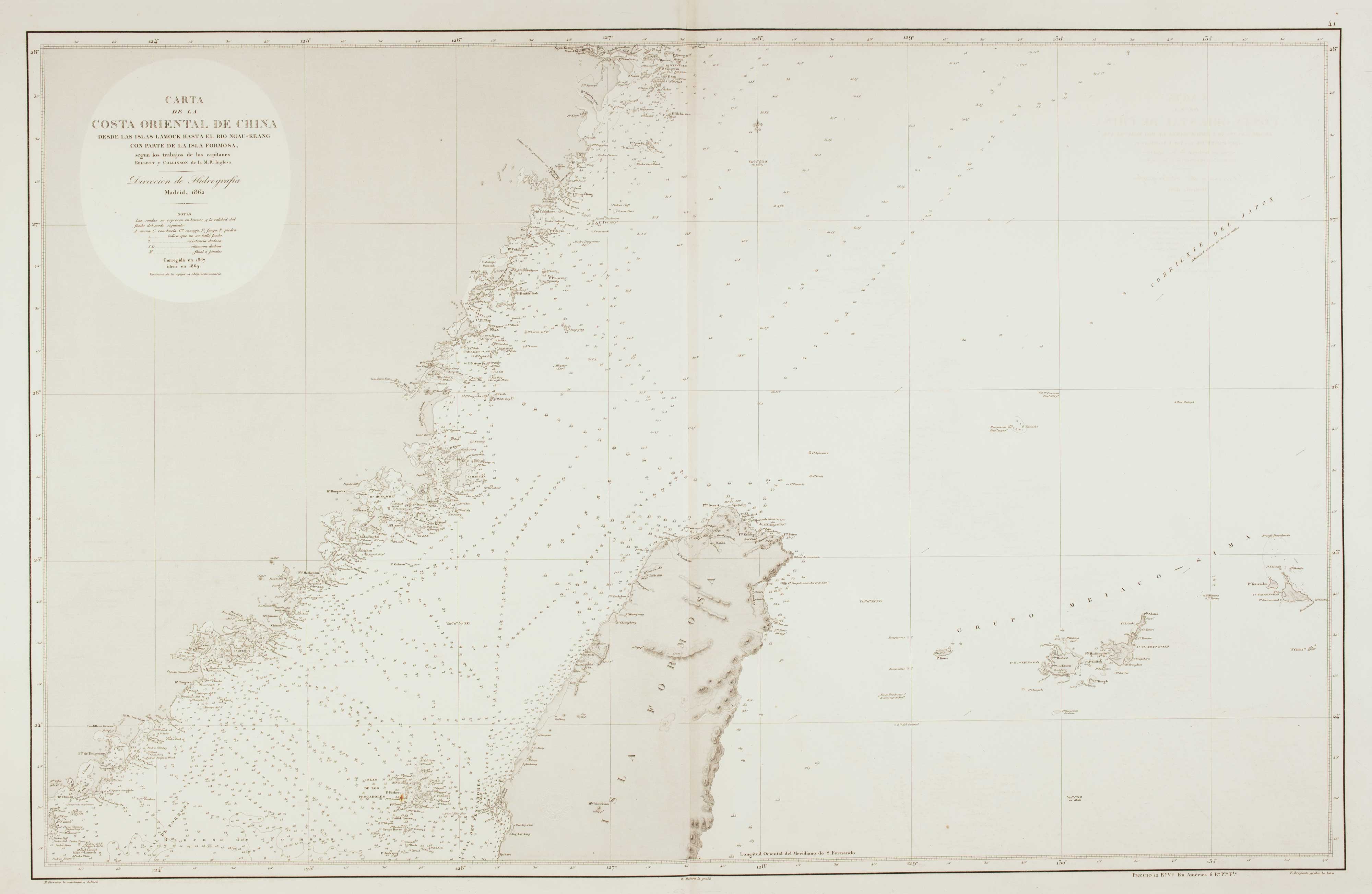


Rare 19th century Spanish sea chart of China with Taiwan
Carta de la Costa Oriental de China desde las Islas Lamock hasta el Rio Ngau-Keang con parte de la Isle Formosa, segun los trajabos de los capitanes Kellett y Collinson de la M.R. Inglesa.
Madrid: Direccion de Hidrografia, 1863. Original colour. 620 x 990mm. Blind stamp of the Direccion de Hidrografia.
£1,400.00
1 in stock
x
Question About This Item?
Rare 19th century Spanish sea chart of China with Taiwan & FERREIRO, MartinStock #: 12454
Add to Wishlist
Export as PDFEnquireSimilar to Sell?Add to Wishlist
Description
A scarce Spanish chart of the Chinese coast from Wenzhou south to Chou'an, with northern Taiwan and the Sakishima Islands of Japan. The lighthouses are marked in colour.
Condition:
A good example.Related products
Items by the same author
Add to Wishlist
Add to Wishlist
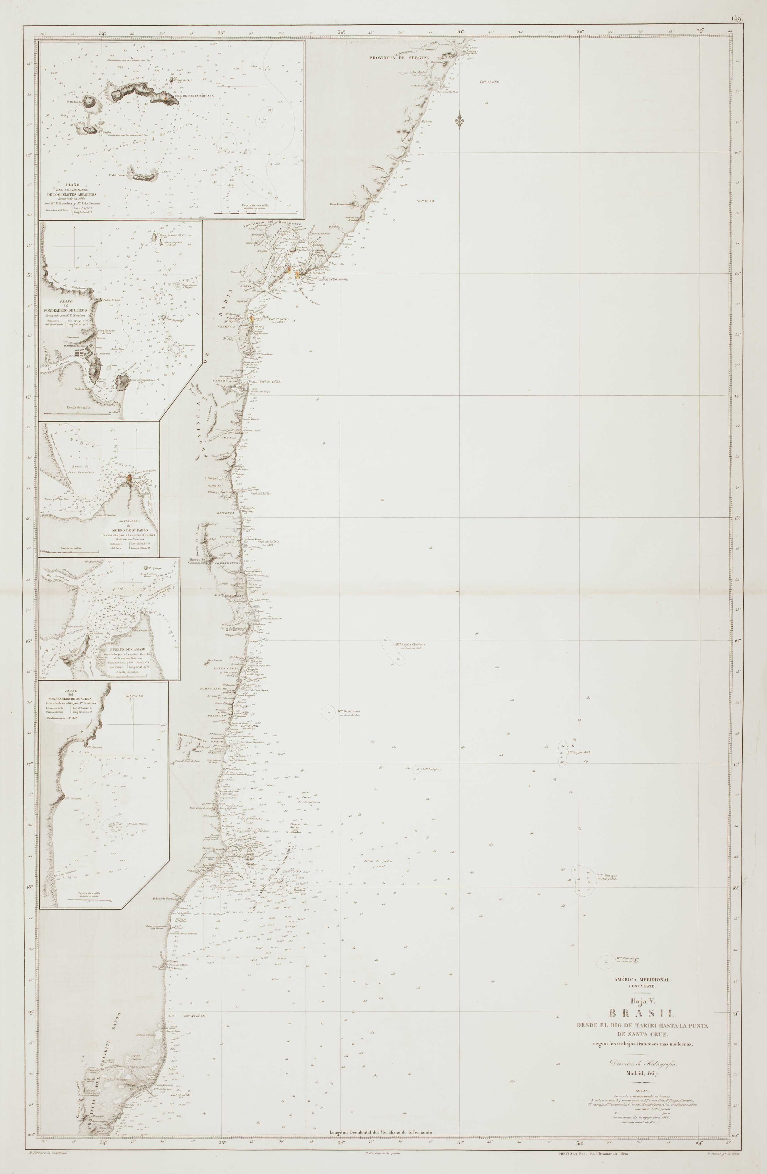
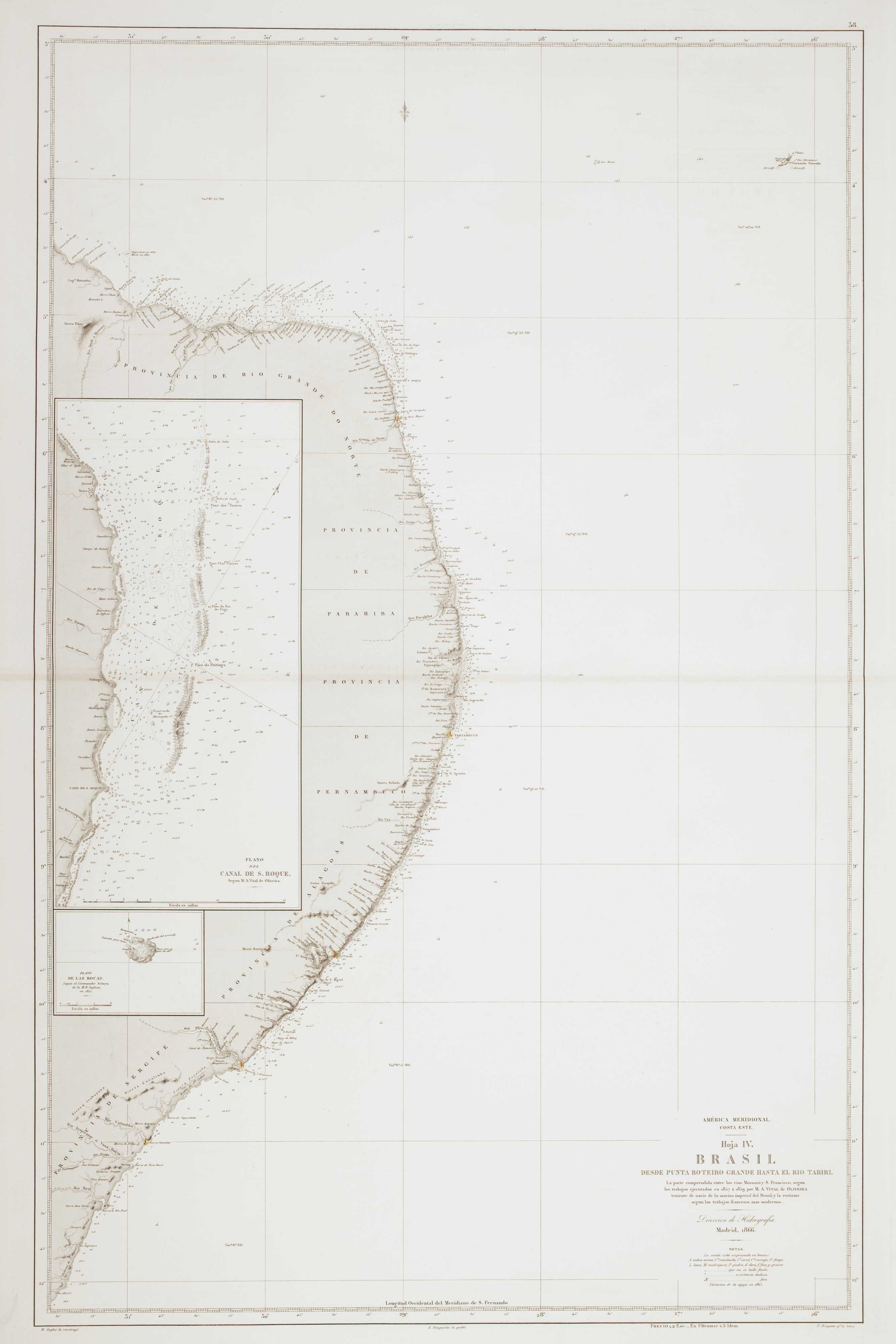
19th century Spanish sea chart of the Brazilian coast
FERREIRO, Martin Date: 1867 Stock #: 12500 £650.00
Add to Wishlist
Add to Wishlist