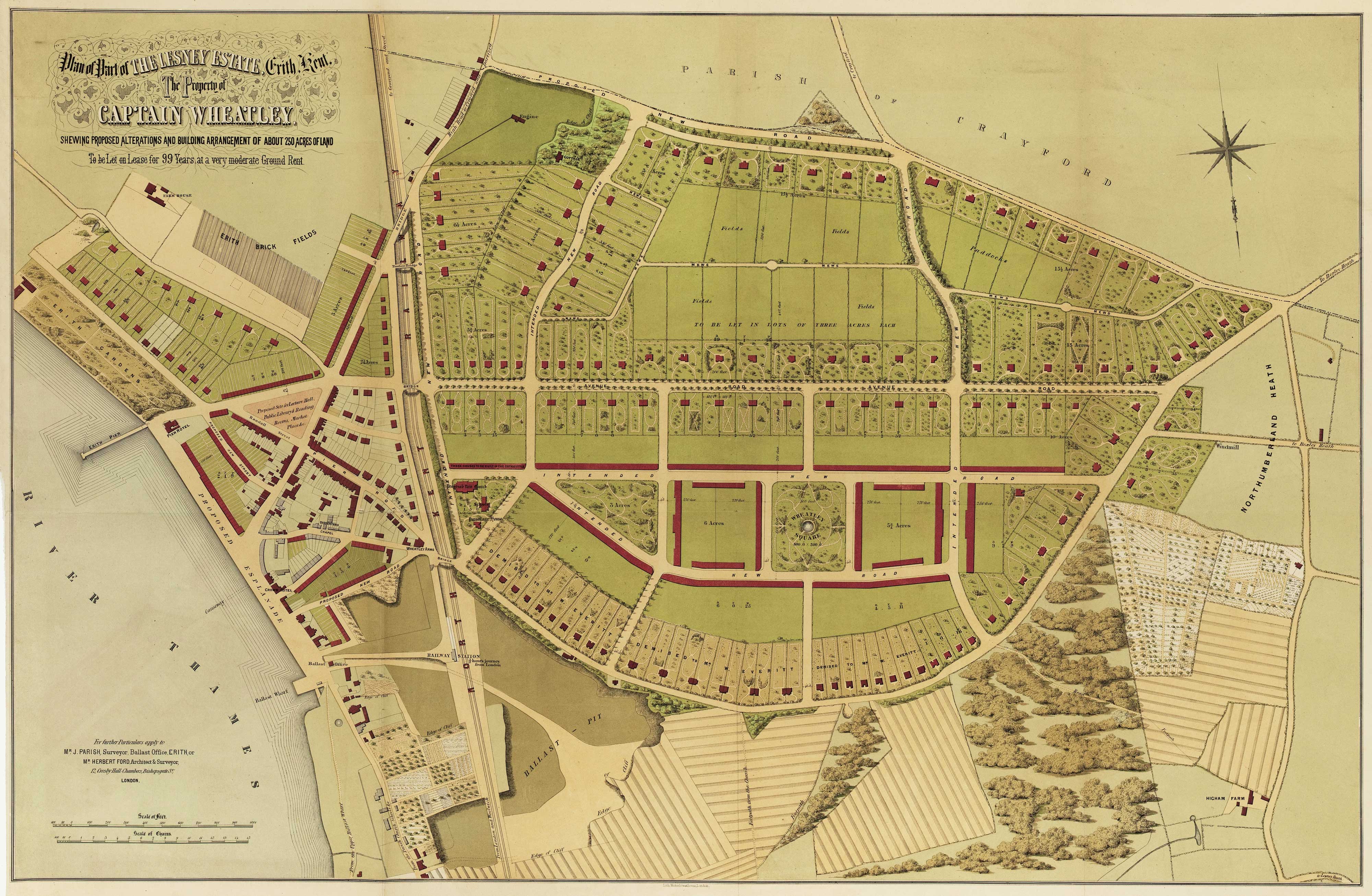


Urban planning in Erith during the Age of the Railway
Plan of Part of the Lesney Estate, Erith, Kent, The Property of Captain Wheatley, shewing proposed alterations and building arrangement of about 250 acres of land To be Let on Lease for 99 Years at a very moderate Ground Rent.
London, c.1873. Tinted lithographic map. Sheet 690 x 990mm.
£600.00
1 in stock
x
Question About This Item?
Urban planning in Erith during the Age of the Railway & Anonymous.Stock #: 16089
Add to Wishlist
Export as PDFEnquireSimilar to Sell?Add to Wishlist
Description
A developer's plan of the Lesney Estate, east of Erith Railway Station, with recognisable roads including Avenue Road, Park Crescent and Bexley Road (A220). Orientated with north to the bottom of the map, it shows the division of the estate into detached and semi-detached properties, and mark 'The Proposed Site for Lecture Hall, Public Library & Reading Rooms, Market Place, etc'. Along the Thames are Erith Gardens and a 'Proposed Esplanade'.
The map would have been published as part of the prospectus for selling suburban houses to London's middle-class workers who could take advantage of the railways. The map notes that the railway station is '½ hour's journey from London'.
Condition:
Narrow margin lower left.Related products
-
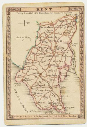
A scarce playing-card map of Kent
ALLEN, Joseph. Date: 1811Stock #: 18725 £500.00 -
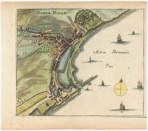
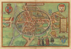
A 17th century townplan of Dover
HERMANNIDES, Rutger. Date: 1661Stock #: 22789 £120.00 -
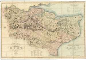
A large scale map of Kent in fine colour
GREENWOOD, Christopher. Date: 1825Stock #: 25043 £2,200.00 -
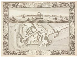
Fine plan of the naval dockyard at Sheerness, Kent
MILTON, Thomas. Date: 1755Stock #: 8492 £600.00 -

A 16th century Italian plan of Canterbury
VALEGIO, Francesco. Date: 1598Stock #: 24131 £280.00 -
Early bird’s-eye map-view of Canterbury
BRAUN, Georg & HOGENBERG, Frans. Date: 1588Stock #: 22168 £900.00
Items by the same author
Add to Wishlist
Add to Wishlist
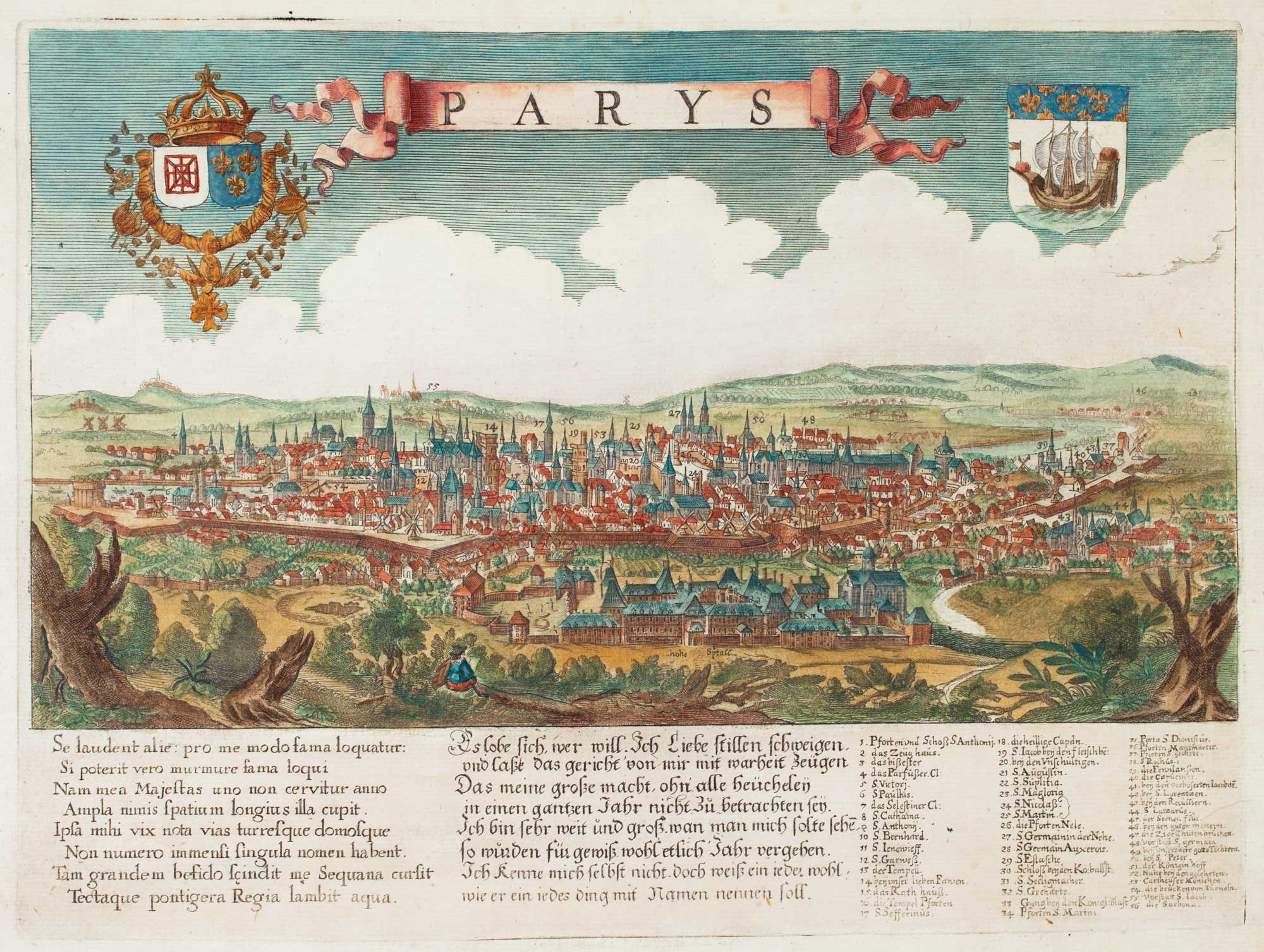
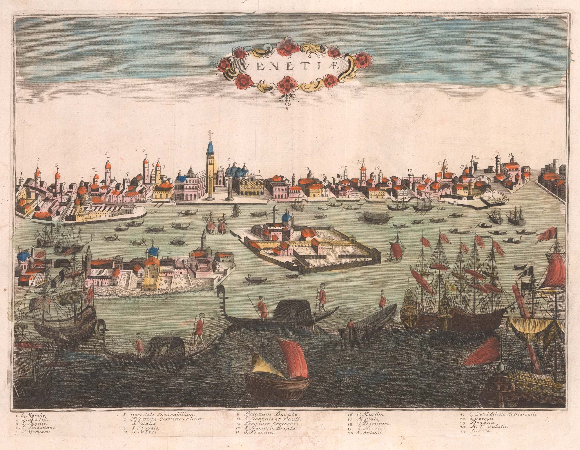
A scarce bird's-eye view of Paris
Anonymous. Date: 1680 Stock #: 11573 £900.00
Add to Wishlist
Add to Wishlist
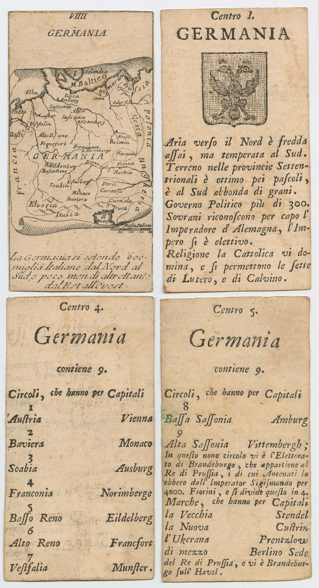
Four scarce Italian playing cards depicting Germany
Anonymous. Date: 1790 Stock #: 24244 £280.00
Add to Wishlist
Add to Wishlist
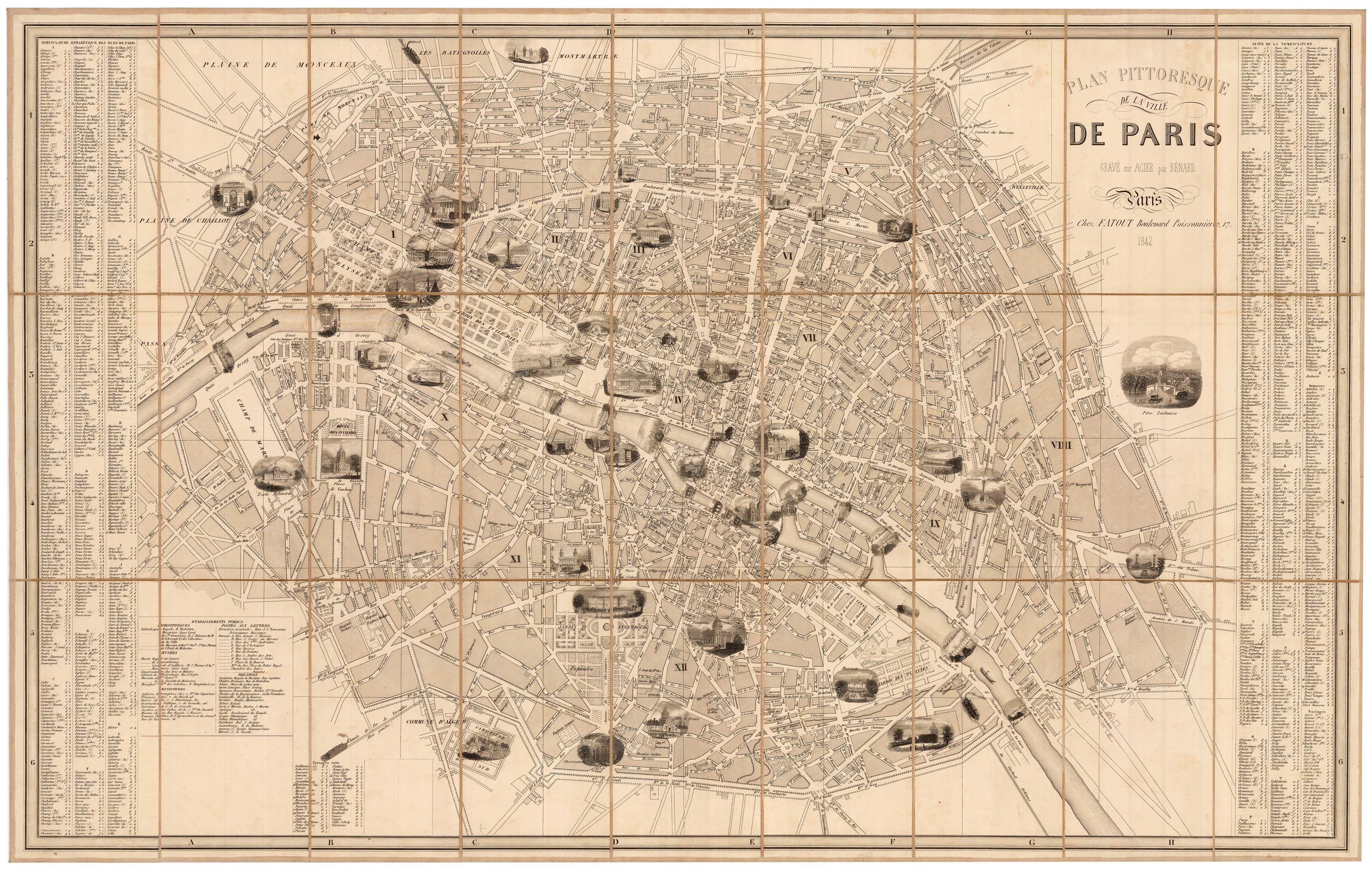
A mid-19th century tourist's map of Paris
Anonymous. Date: 1873 Stock #: 22987 £400.00
Add to Wishlist
Add to Wishlist
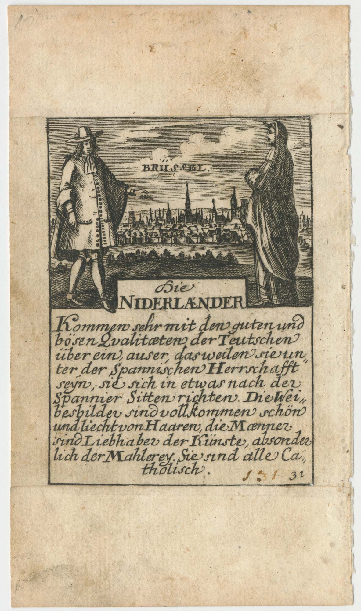
A rare playing card of Brussels
Anonymous. Date: 1680 Stock #: 25020 £320.00
Add to Wishlist
Add to Wishlist
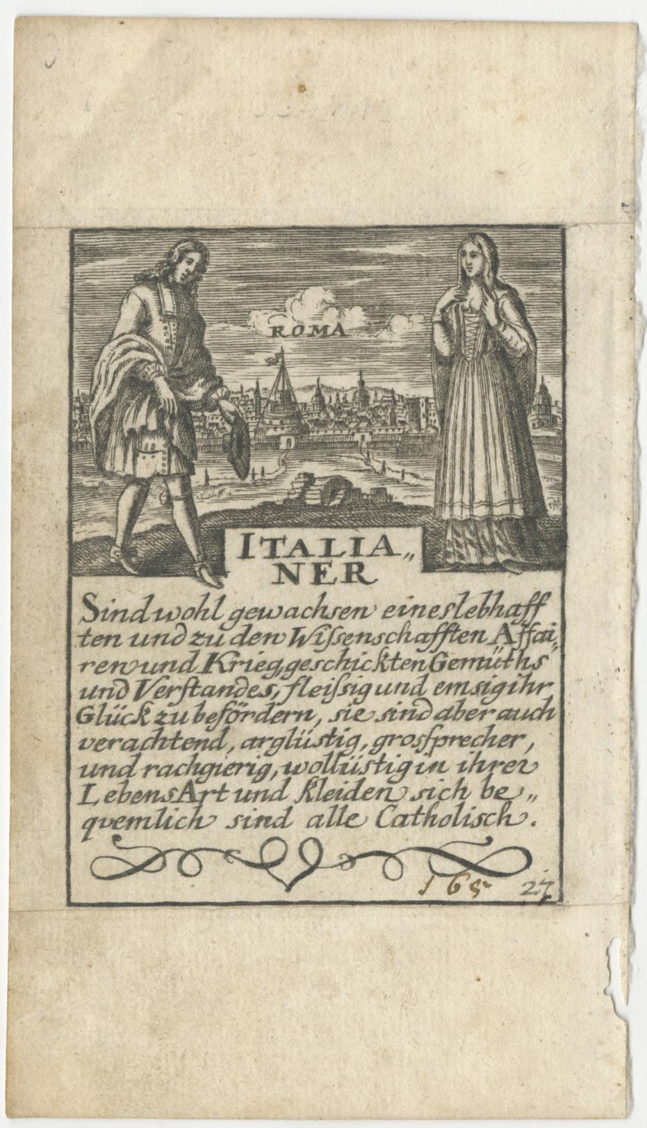
A rare playing card of Italy with a view of Rome
Anonymous. Date: 1680 Stock #: 25513 £260.00
Add to Wishlist
Add to Wishlist