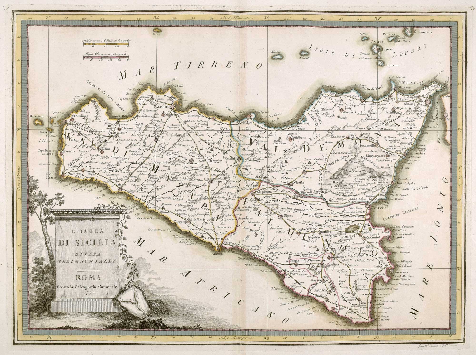


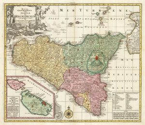
18th century map of Sicily
L'Isola di Sicilia divisa nelle sue Valli.
Rome, 1790. Original Colour. 355 x 485mm.
£450.00
Description
A scarce map of Sicily, published in the scarce atlas, the 'Nuovo atlante geografico universale'. The title is on a plinth, with a shield with a triskelion on the ground.
Condition:
A good example.Related products
-
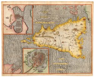
A map of Sicily illustrating Ancient History
RALEIGH, Walter. Date: 1620Stock #: 23097 £500.00 -
An uncommon state of Jansson’s plan of Messina
JANSSON, Jan. Date: 1694Stock #: 21911 £900.00 -
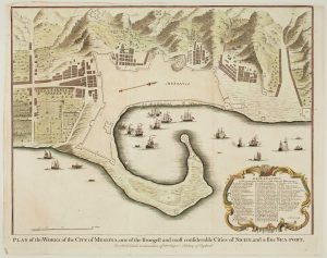
Town plan of Messina
BASIRE, Isaac. Date: 1750Stock #: 14147 £180.00 -
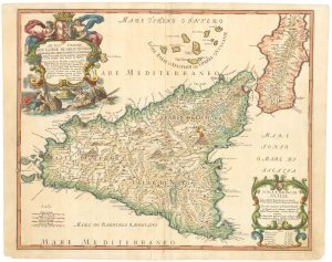
A beautiful 17th century map of Sicily
DE WIT, Frederick. Date: 1680Stock #: 19493 £2,000.00 -
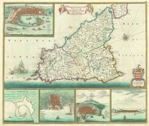
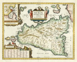
17th century Italian map of Sicily
CANTELLI DA VIGNOLA, Giacomo. Date: 1682Stock #: 23653 £1,250.00 -
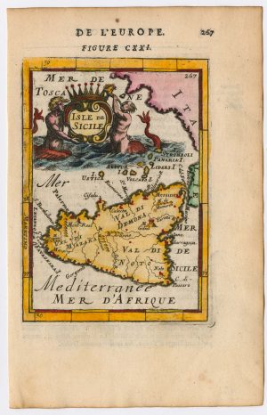
A miniature map of Sicily
MALLET, Alain Manesson. Date: 1683Stock #: 23901 £190.00 -
18th century map of Sicily, with an inset of Malta
SEUTTER, Matthaus. Date: 1760Stock #: 22738 £550.00 -
Map of Sicily in classical times
JANSSON, Jan. Date: 1700Stock #: 19769 £500.00 -
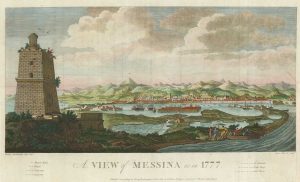
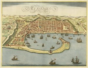
An 18th century view of Messina
SWINBURNE, Henry. Date: 1783Stock #: 21548 £650.00
Items by the same author
[ti_wishlists_addtowishlist]
[ti_wishlists_addtowishlist]
[ti_wishlists_addtowishlist]
[ti_wishlists_addtowishlist]
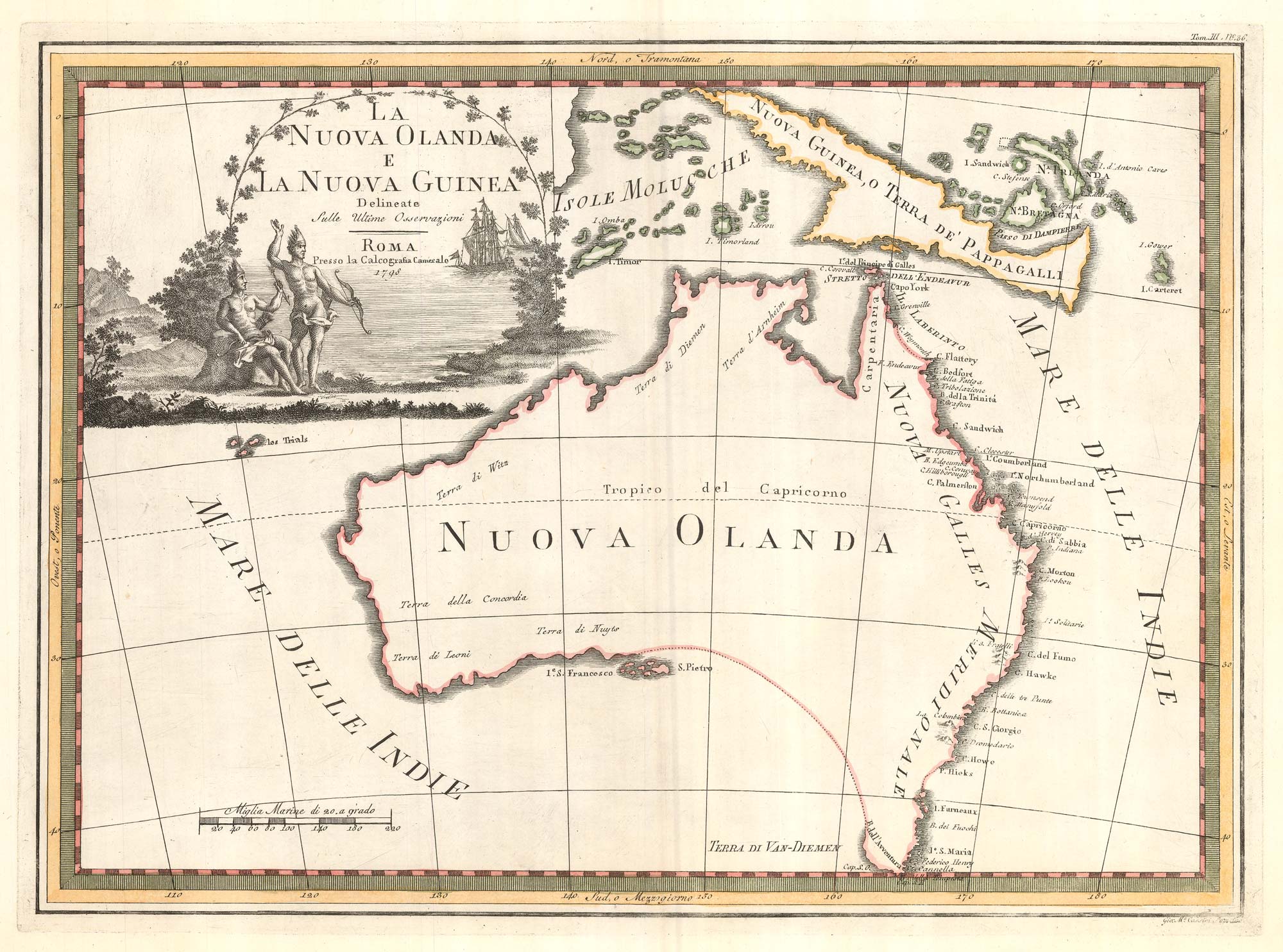
One of the most decorative maps of Australia
CASSINI, Giovanni Maria. Date: 1798 Stock #: 17956 £3,750.00
[ti_wishlists_addtowishlist]
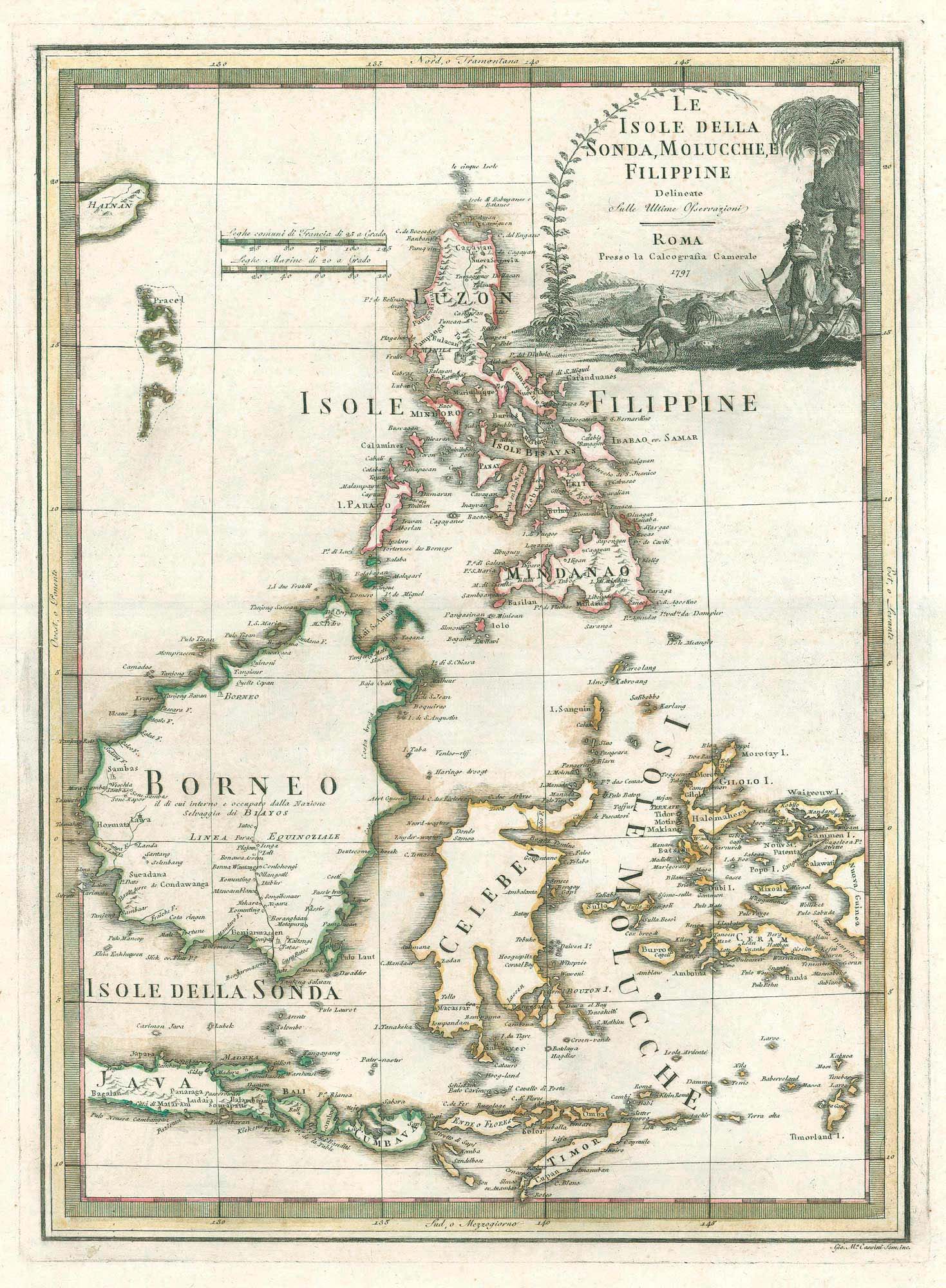
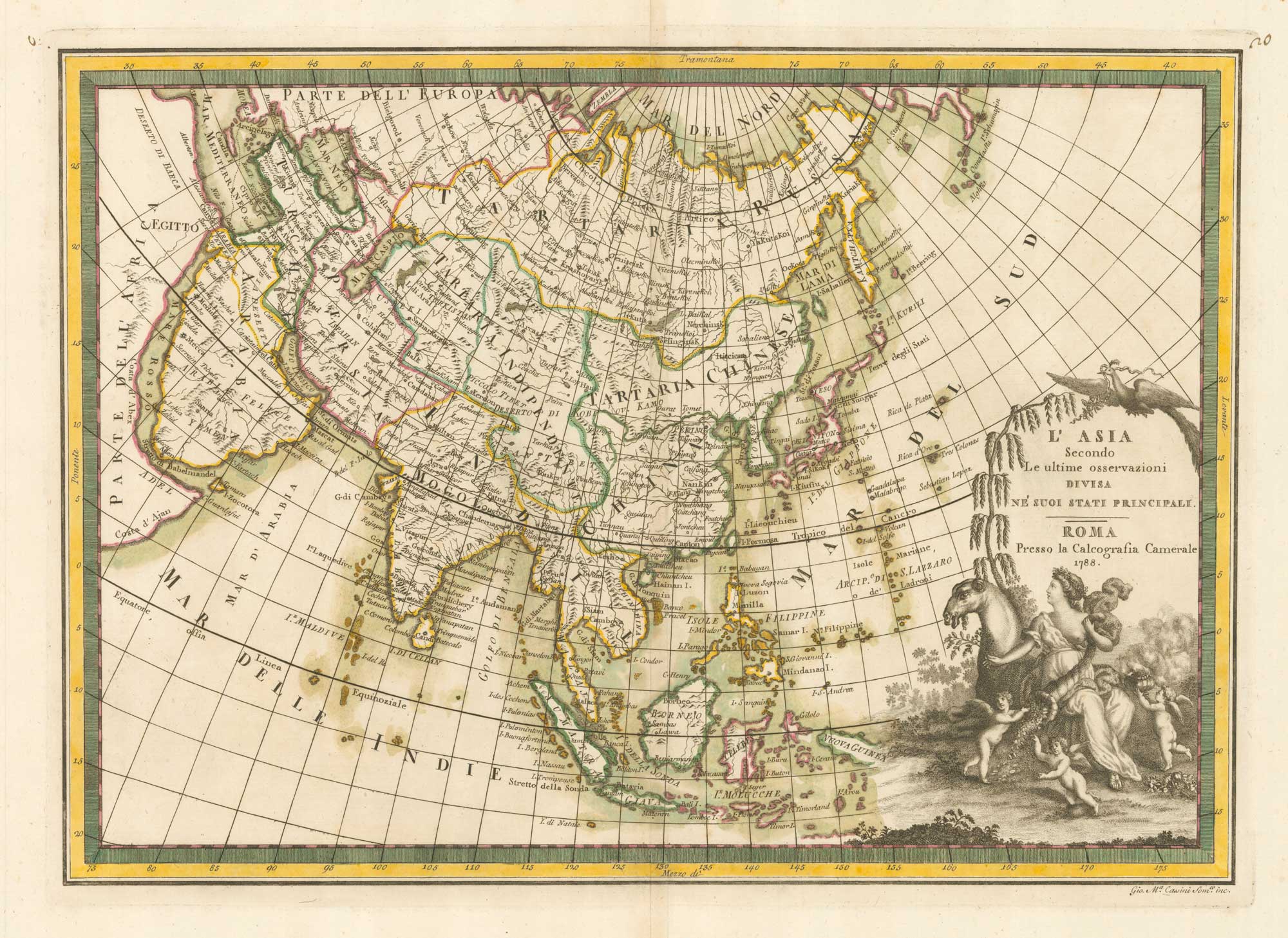
A scarce 18th century Italian map of the Philippines and Indonesia
CASSINI, Giovanni Maria. Date: 1797 Stock #: 18460 £1,400.00
[ti_wishlists_addtowishlist]