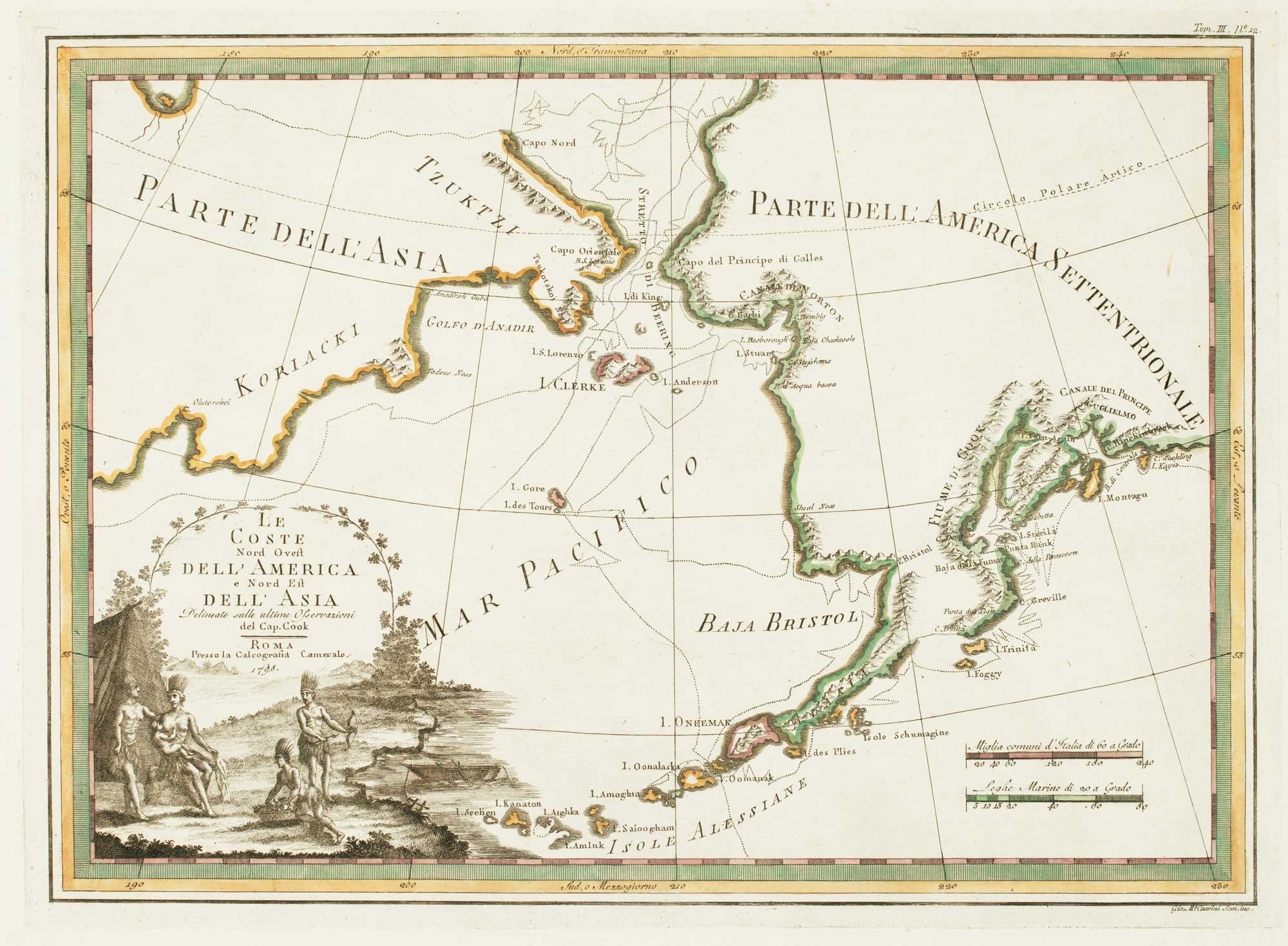


Rare map of the Bering Strait
Le Coste Nord Ovest Dell'America e Nord Est dell'Asia Delineate sulle ultime Osservazioni del Cap. Cook.
Rome, 1798. Coloured. 360 x 500mm.
£350.00
Description
Cook's exploration of the Bering Strait, made on his Third and final voyage, from the 'Nuovo Atlante Geografico Universale'. The title is within a decorative title cartouche depicting American Indians. A scarce map.
Condition:
A good example.Related products
Items by the same author
[ti_wishlists_addtowishlist]
[ti_wishlists_addtowishlist]
[ti_wishlists_addtowishlist]
[ti_wishlists_addtowishlist]
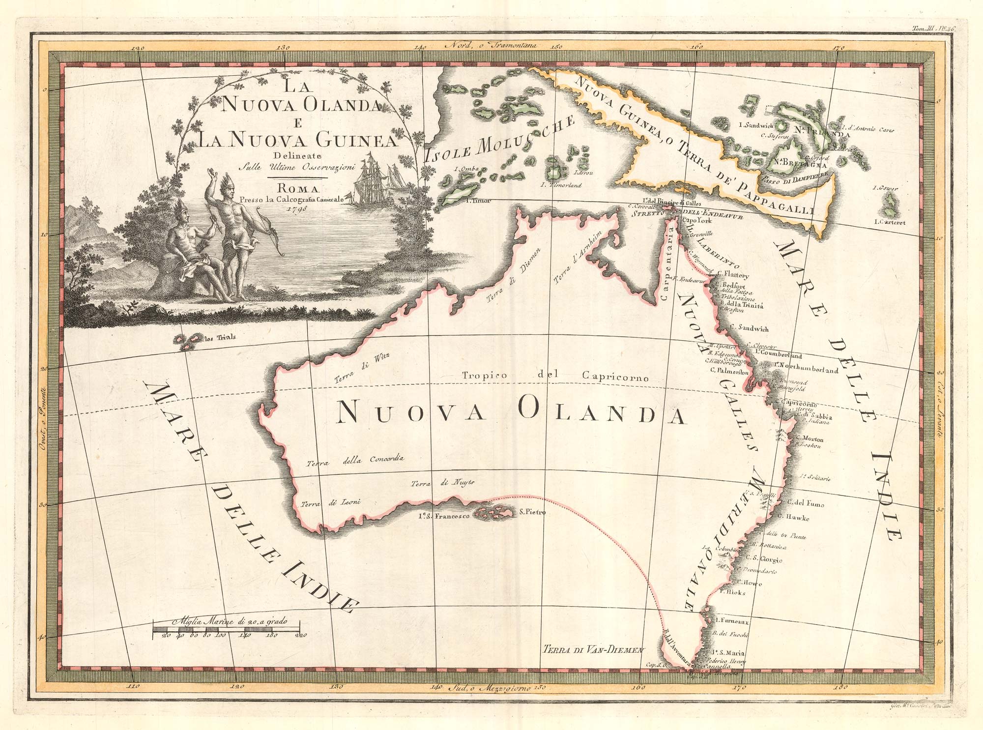
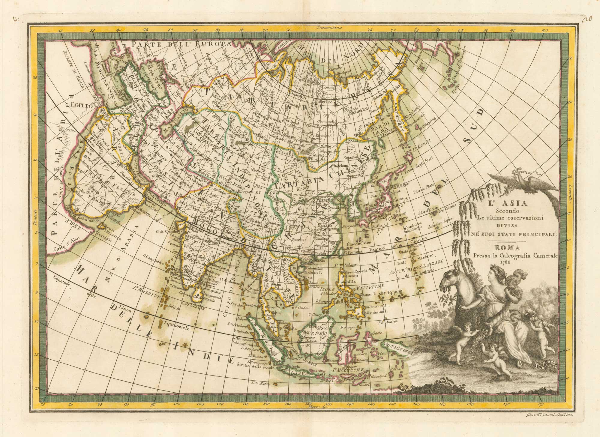
One of the most decorative maps of Australia
CASSINI, Giovanni Maria. Date: 1798 Stock #: 17956 £3,750.00
[ti_wishlists_addtowishlist]
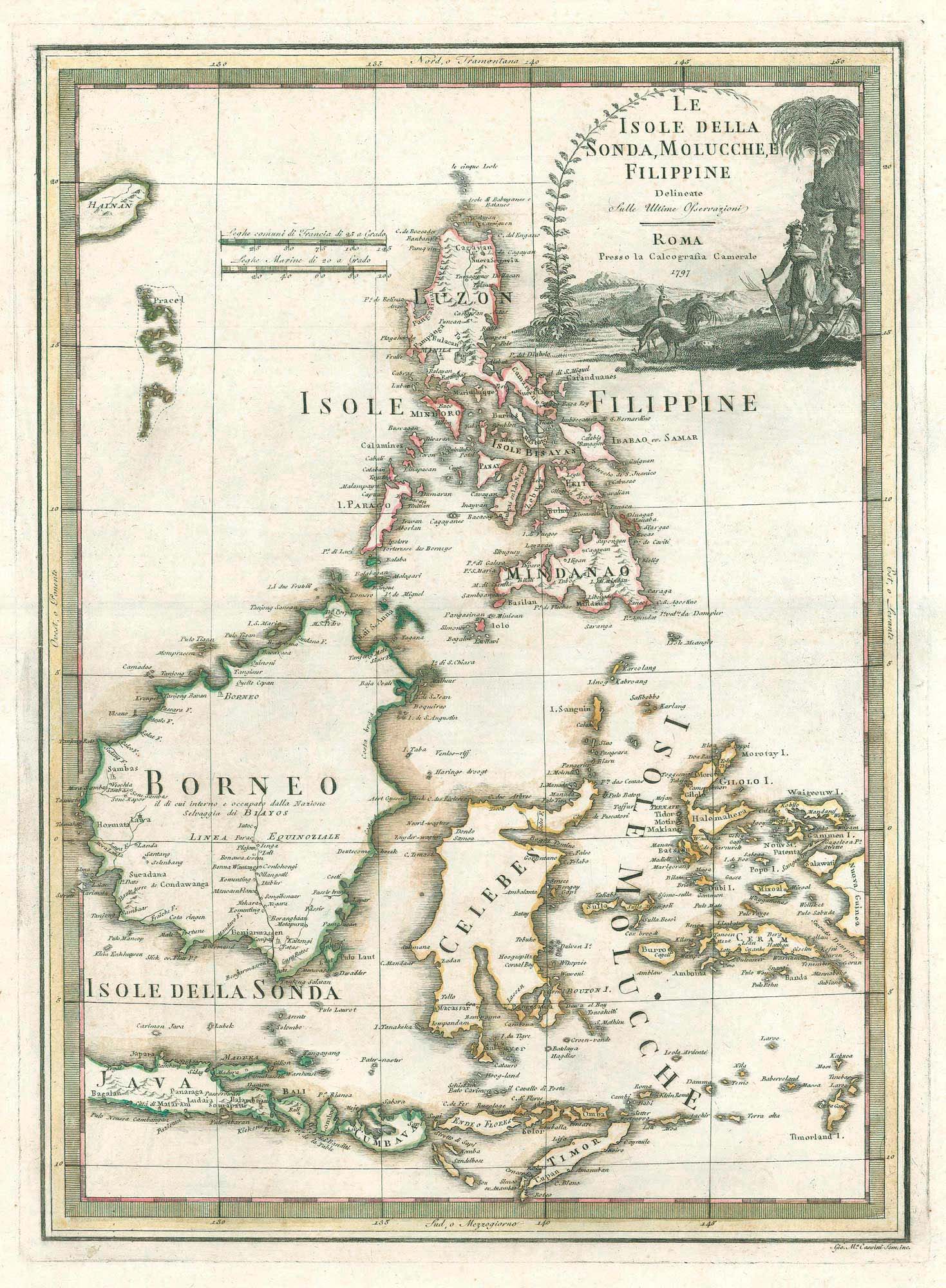
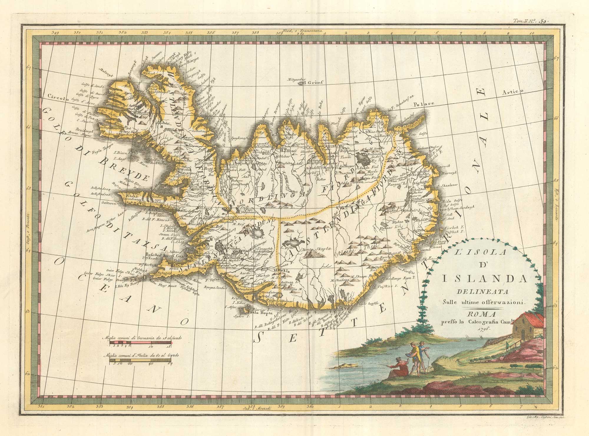
A scarce 18th century Italian map of the Philippines and Indonesia
CASSINI, Giovanni Maria. Date: 1797 Stock #: 18460 £1,400.00
[ti_wishlists_addtowishlist]