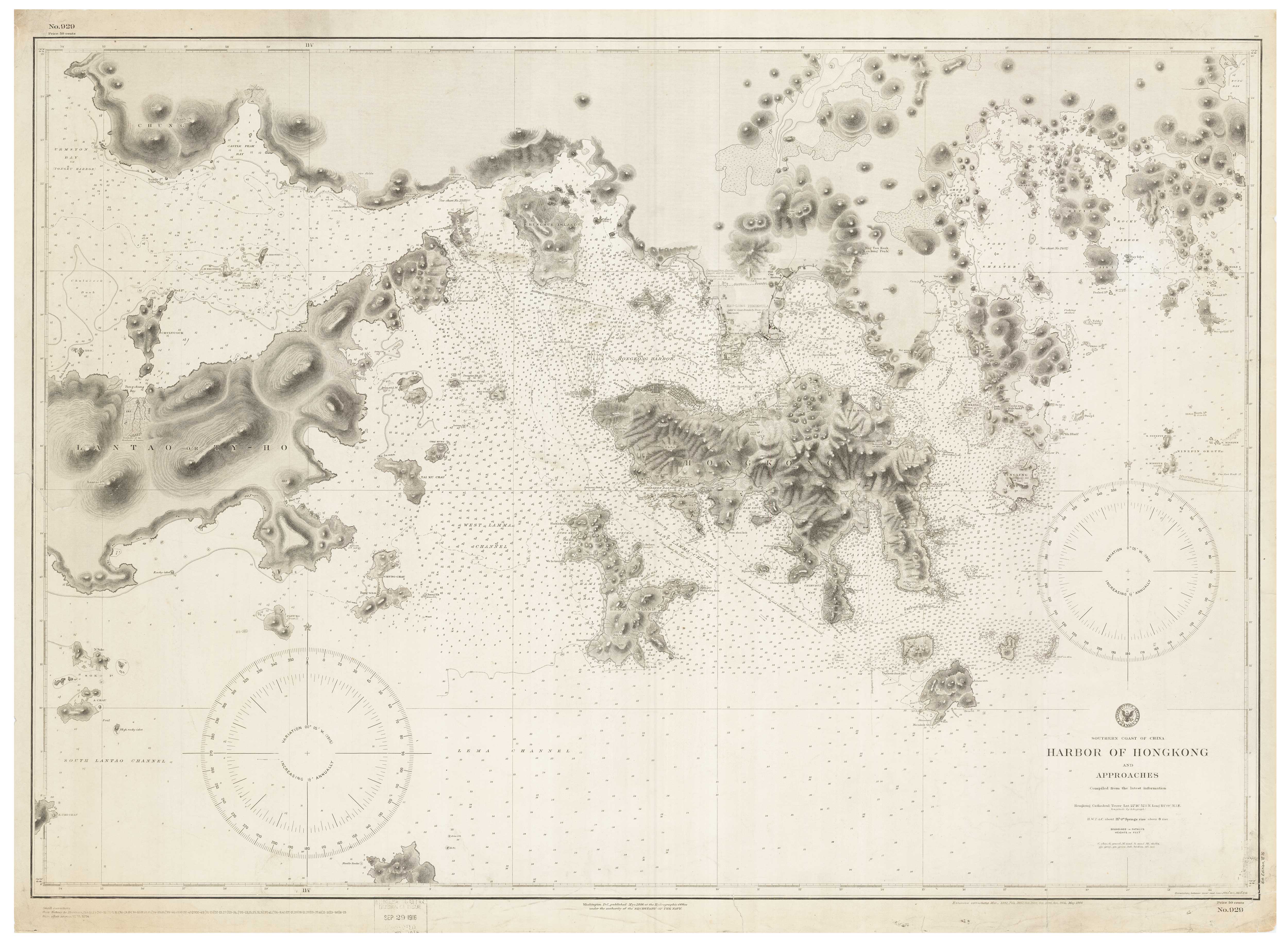


A 19th century American sea chart of Hong Kong
Southern Coast of China. Harbor of Hong Kong and Approaches. Compiled from the latest information.
Washington DC: Hydrographic Office, Navy Department, 1886-1906. 770 x 1050mm.
£3,500.00
1 in stock
x
Question About This Item?
A 19th century American sea chart of Hong Kong & BREWER, H.G.Stock #: 23973
Add to Wishlist
Export as PDFEnquireSimilar to Sell?Add to Wishlist
Description
Detailed chart of the approaches to Hong Kong, first published 1886 but here updated to 1916. Despite being a sea chart the streets of the settlements are carefully delineated. This chart was published as the U.S. was working to increase its sphere of influence across the Pacific.
Condition:
Some surface soiling, official ink date stamp in bottom margin.Related products
-
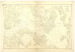
A rare Japanese chart of Hong Kong harbour
MARITIME SAFETY BOARD. Date: 1963Stock #: 25057 £1,750.00 -
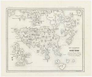
A rare missionary’s map of Hong Kong
VOLONTERI, Simeone. Date: 1874Stock #: 24927 £4,450.00 -
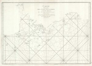
An important sea chart of the environs of Hong Kong and Macao
APRÈS DE MANNEVILLETTE, Jean Baptiste d'. Date: 1775Stock #: 19839 £2,950.00 -
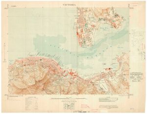
A detailed map of Victoria in the 1930s
WAR OFFICE. Date: 1930Stock #: 23458 £4,500.00 -
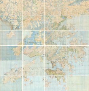
A 24-sheet map of Hong Kong at the end of the Second World War
WAR OFFICE. Date: 1945Stock #: 25699 £15,000.00 -
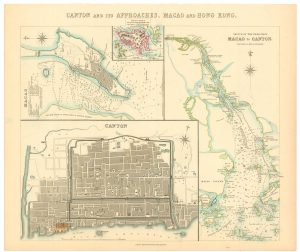
A map of European trade in China in the 1850s
Society for the Diffusion of Useful Knowledge. Date: 1857Stock #: 24870 £400.00