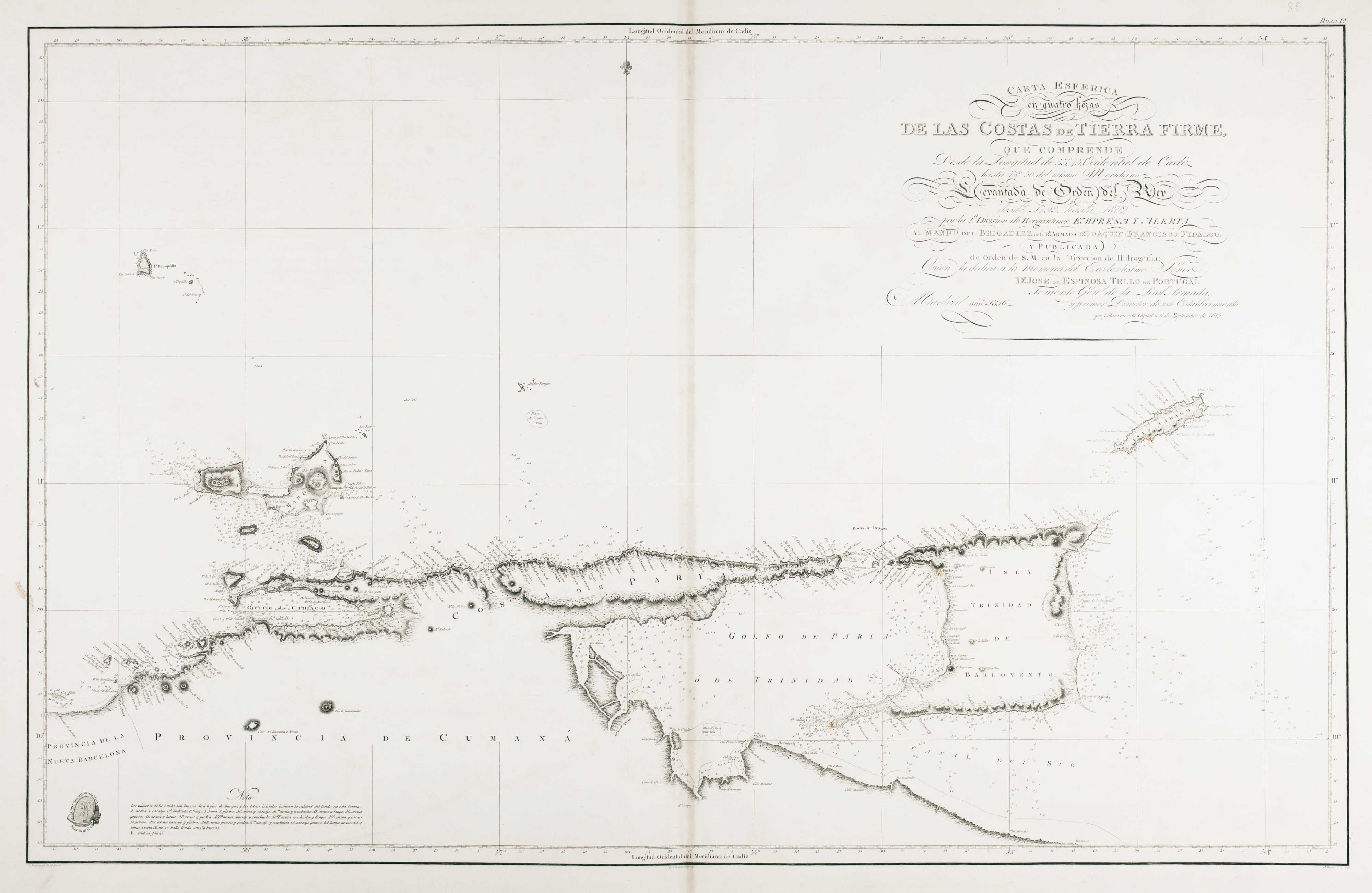
Antique Maps of Trinidad

Showing 1–2 of 2 products
Sort by:
Add to Wishlist
Add to Wishlist
Dauxion Lavaysse Trinidad and Tobago

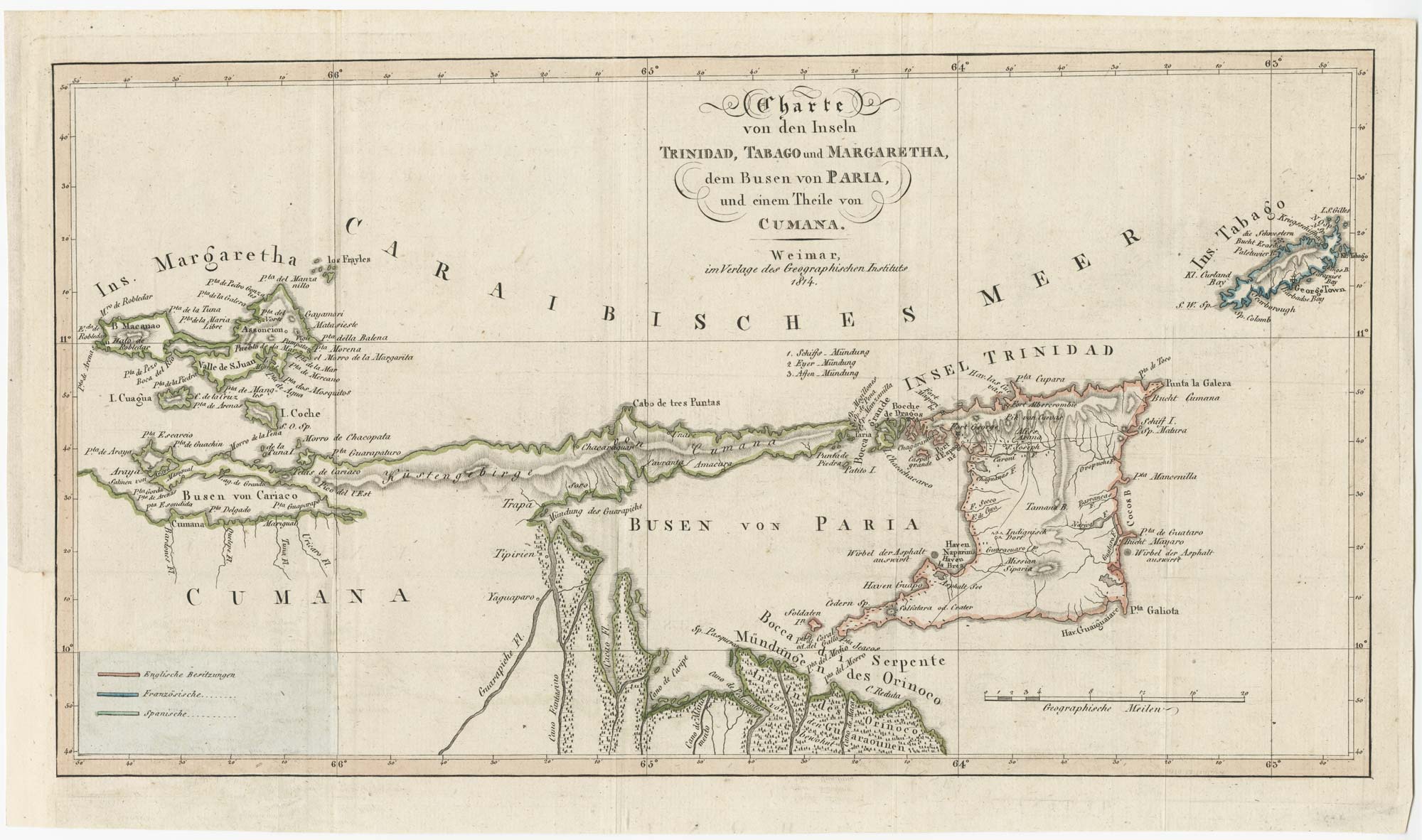
Early 19th century map of Trinidad and Tobago

DAUXION-LAVAYSSE, Jean-Francois. Date: 1814 Stock #: 24860 £220.00
Add to Wishlist
Add to Wishlist
Illustration of a 19th century Spanish sea chart featuring Trinidad, Venezuela, and lighthouses on the Caribbean coast of South America

An uncommon 19th century Spanish sea chart of Trinidad and Venezuela

DIRECCION HIDROGRAFICA DE MADRID. Date: 1865 Stock #: 11887 £1,500.00