Antique Maps of Carolina
Showing 1–3 of 3 products
Sort by:
Add to Wishlist
Add to Wishlist
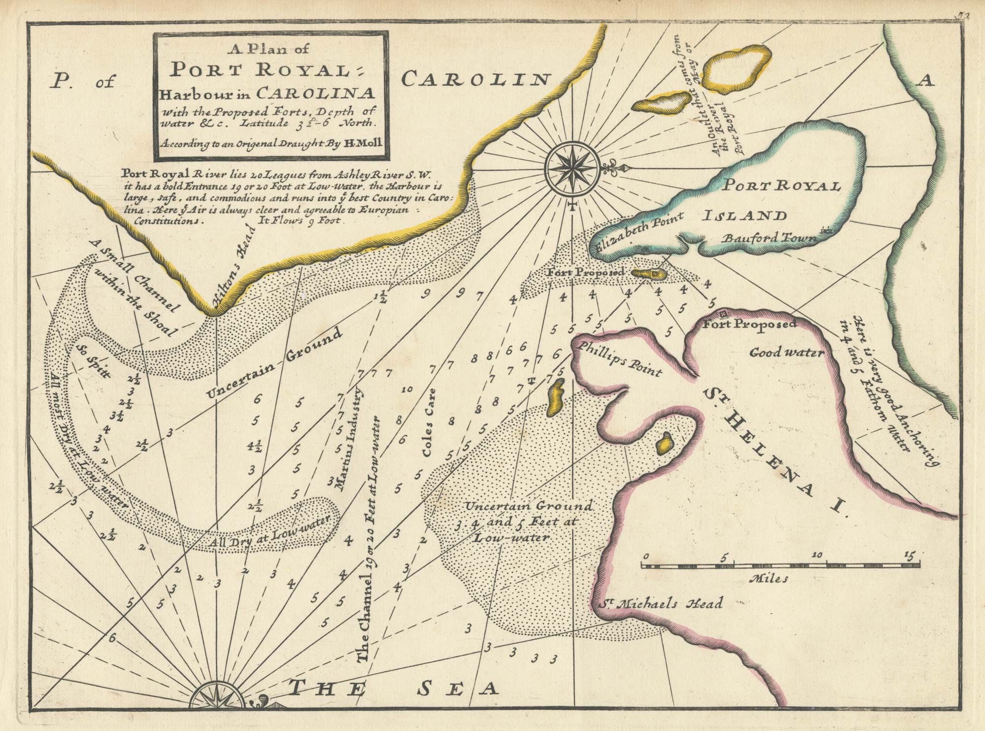
An 18th century English chart of Port Royal
MOLL, Herman. Date: 1732 Stock #: 25479 £300.00
Add to Wishlist
Add to Wishlist
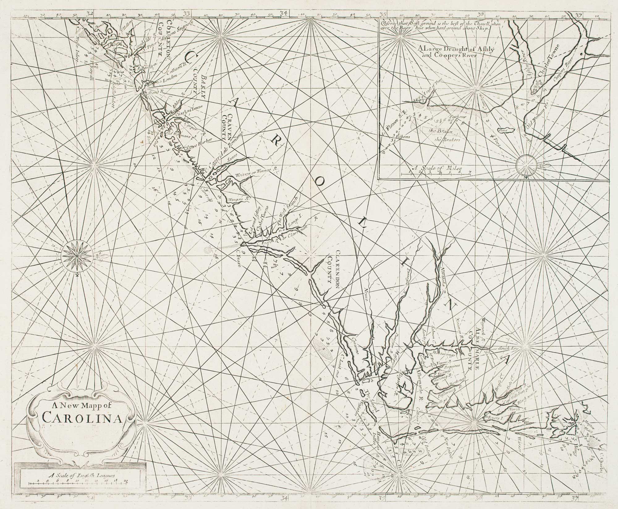
Early English chart of Carolina
THORNTON, John. Date: 1748 Stock #: 15471 £3,800.00
Add to Wishlist
Add to Wishlist