Antique Maps of the Continent of America
Showing 1–13 of 13 products
Sort by:
Add to Wishlist
Add to Wishlist
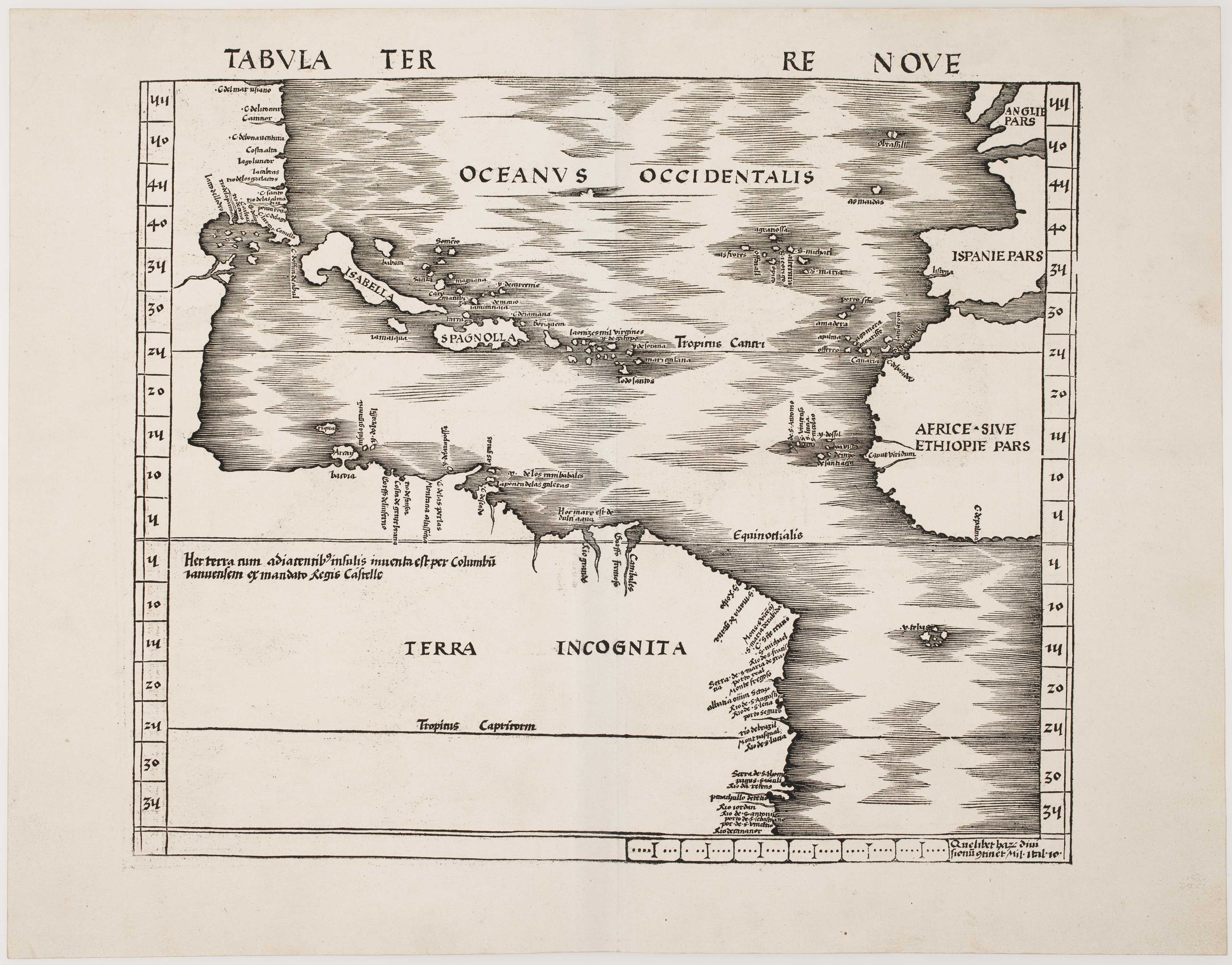
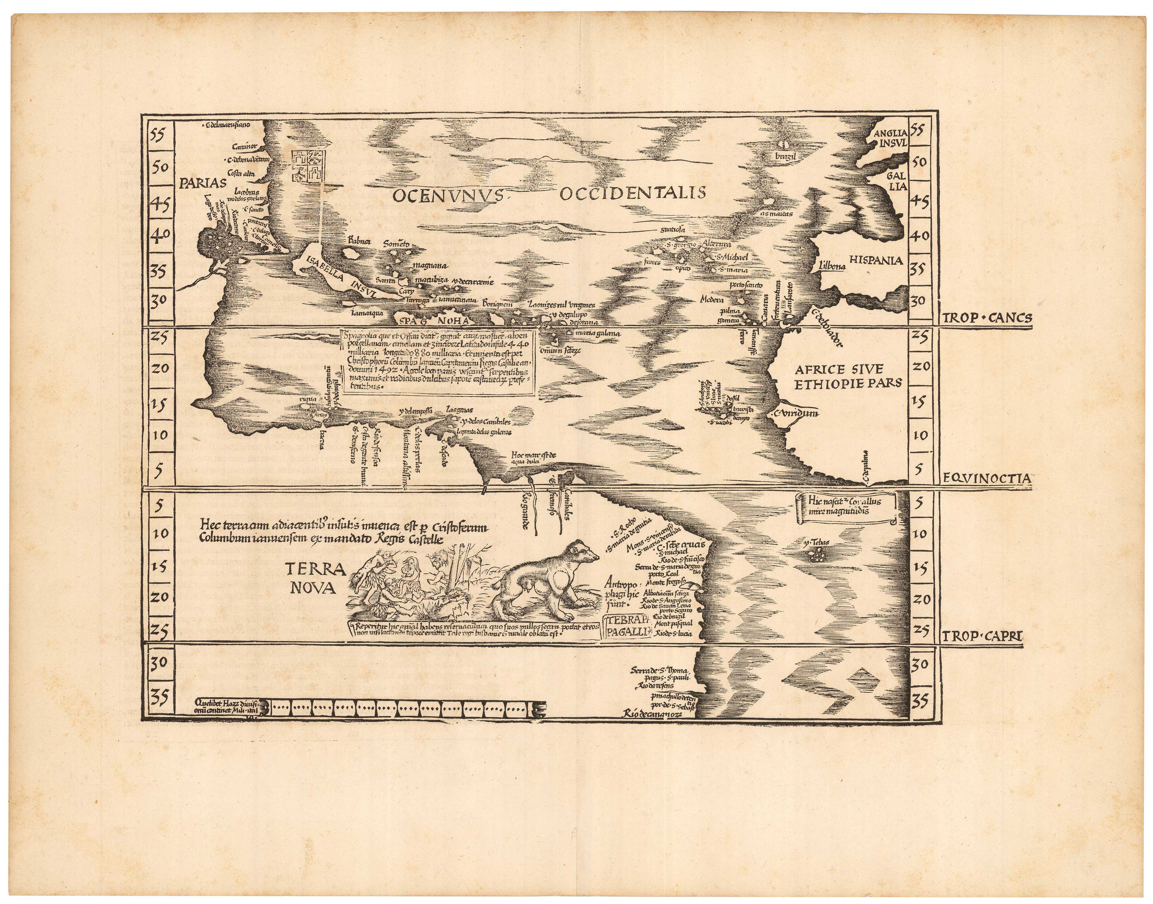
The first map of the continent of America
MUNSTER, Sebastian. Date: 1568 Stock #: 25503 £6,000.00
Add to Wishlist
Add to Wishlist
One of the earliest maps to depict America
WALDSEEMULLER, Martin. Date: 1513 Stock #: 24130 £42,500.00
Add to Wishlist
Add to Wishlist
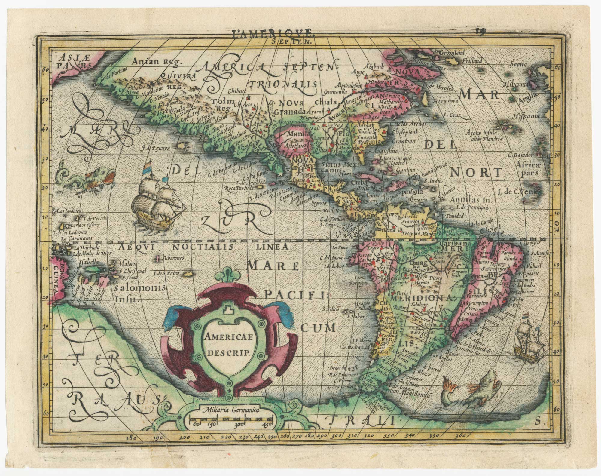
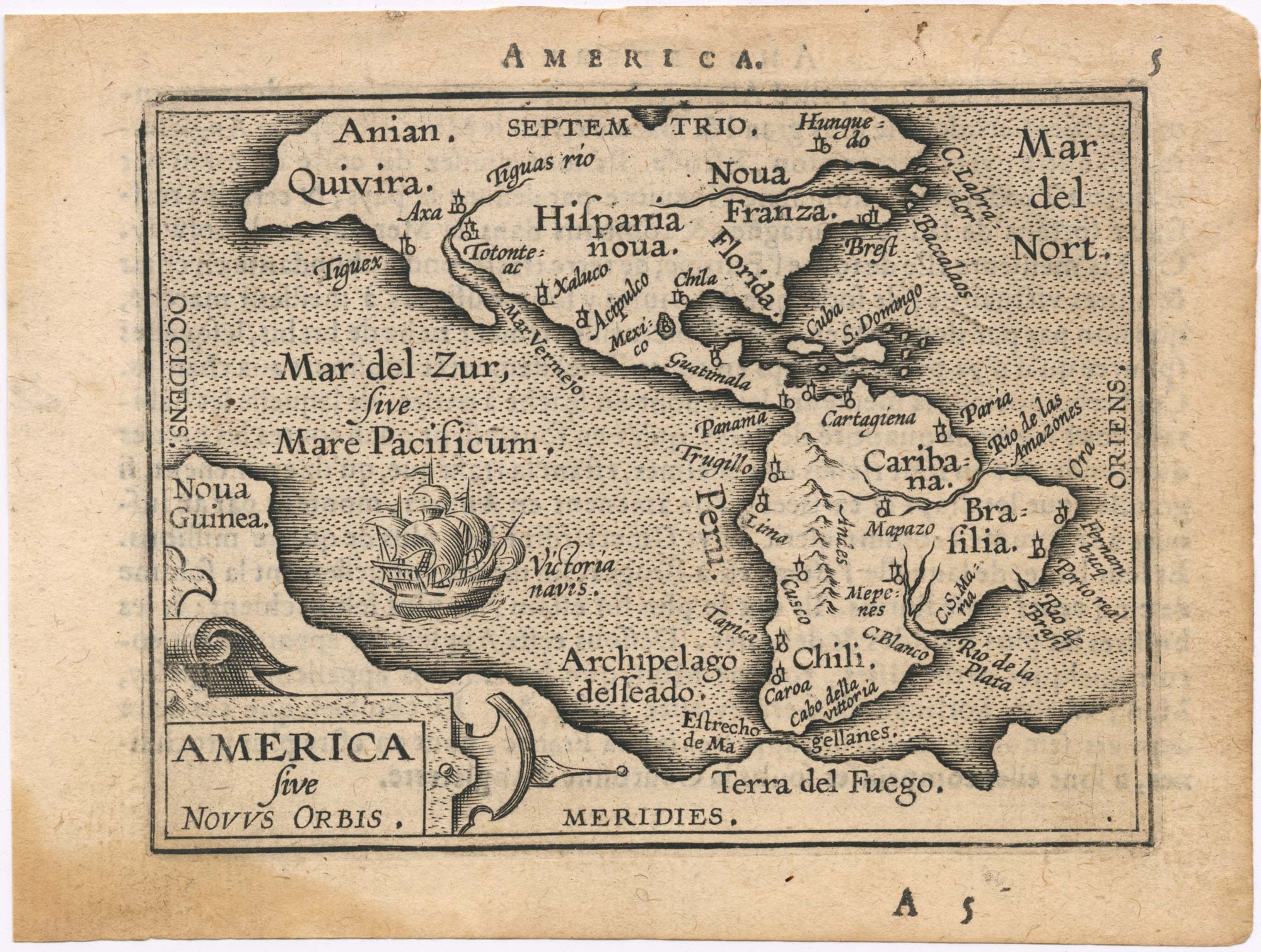
Early 17th century miniature map of America
HONDIUS, Jodocus. Date: 1610 Stock #: 25064 £750.00
Add to Wishlist
Add to Wishlist
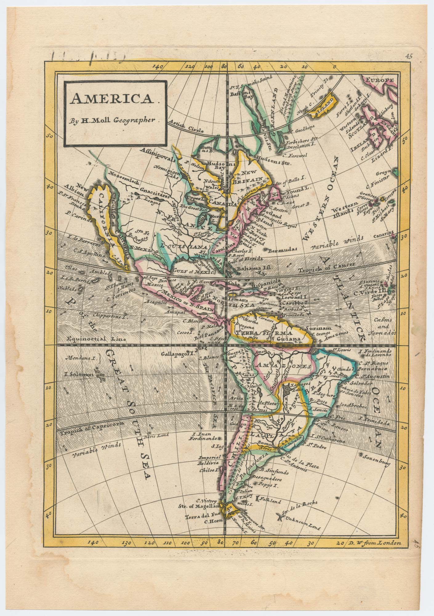
The Americas with California as an island
MOLL, Herman. Date: 1732 Stock #: 25461 £600.00
Add to Wishlist
Add to Wishlist

The first map of the continent of America
MUNSTER, Sebastian. Date: 1572 Stock #: 25013 £6,000.00
Add to Wishlist
Add to Wishlist
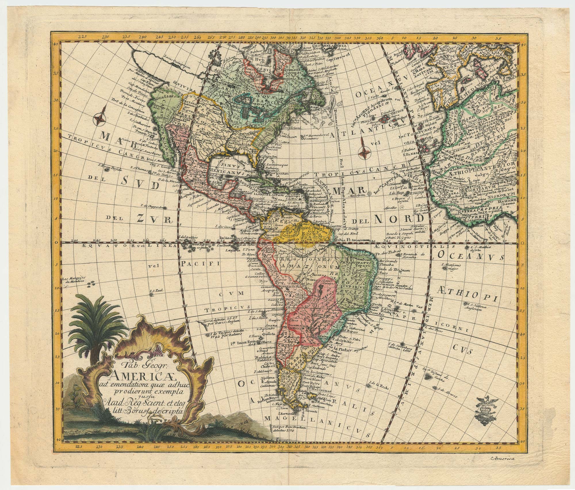
An 18th century map of the Americas
EULER, Leonhard. Date: 1753 Stock #: 24536 £550.00
Add to Wishlist
Add to Wishlist
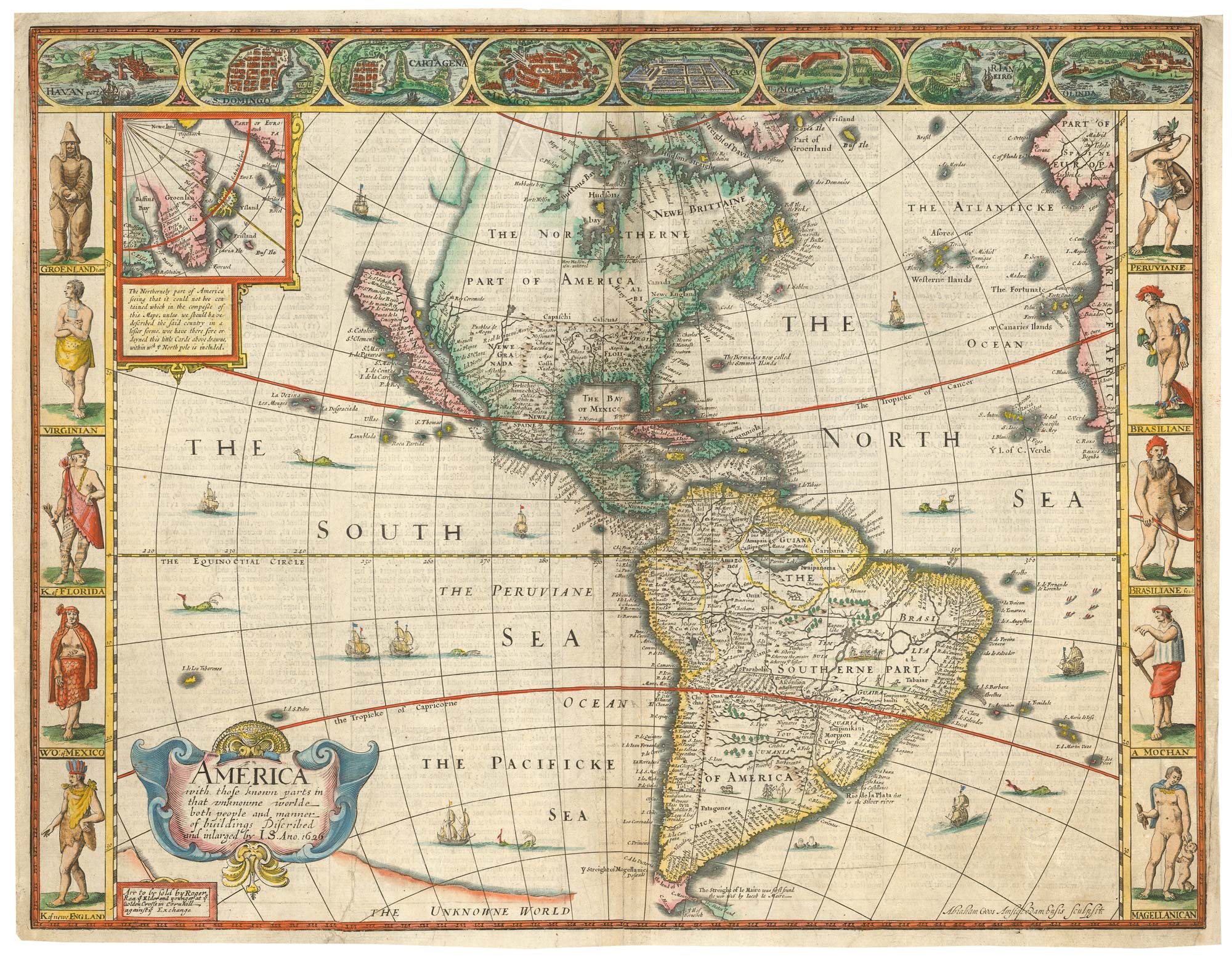
Speed's landmark map of America
SPEED, John. Date: 1665 Stock #: 23980 £3,950.00
Add to Wishlist
Add to Wishlist
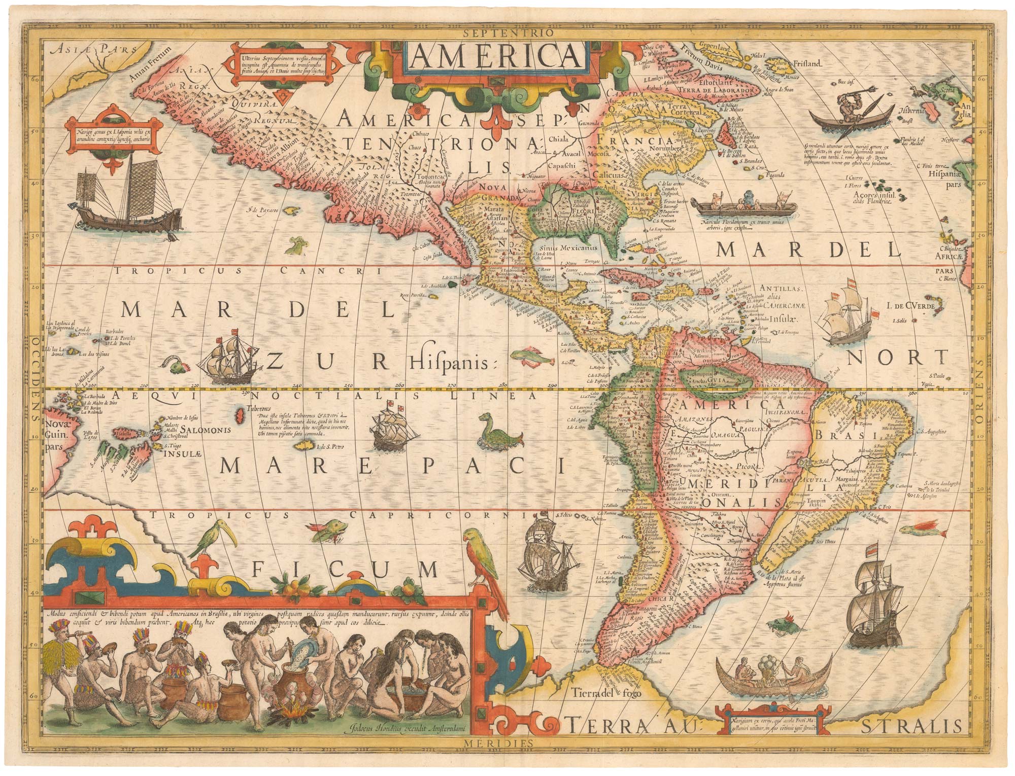
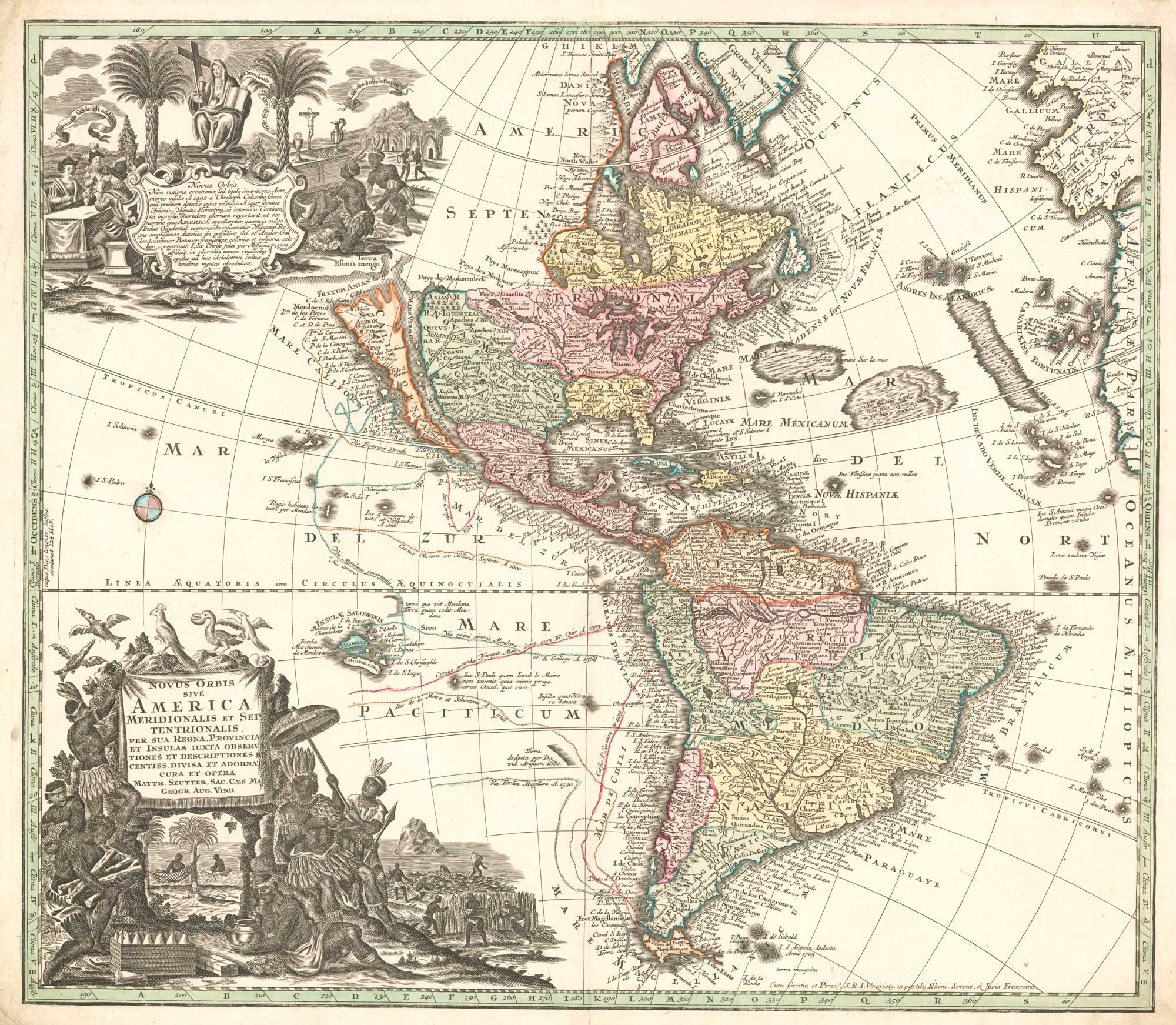
A superbly decorated map of the Americas
HONDIUS, Jodocus. Date: 1628 Stock #: 23601 £6,500.00
Add to Wishlist
Add to Wishlist
The scarce second Galle plate for America used in the 'Epitome'
ORTELIUS, Abraham. Date: 1598 Stock #: 23190 £470.00
Add to Wishlist
Add to Wishlist
The Fries edition of Wäldseemüller's map of the Americas
WALDSEEMULLER, Martin. Date: 1541 Stock #: 23045 £8,500.00
Add to Wishlist
Add to Wishlist
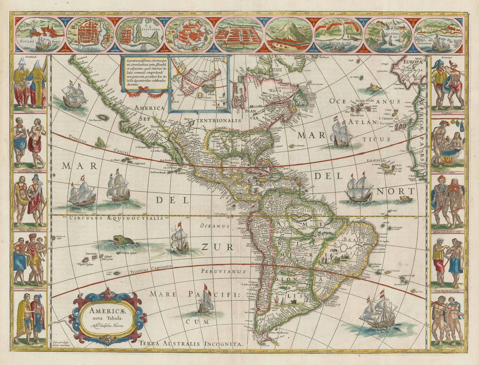
Blaeu's famous carte à figure map of America
BLAEU, Willem Janszoon. Date: 1650 Stock #: 22579 £5,000.00
Add to Wishlist
Add to Wishlist
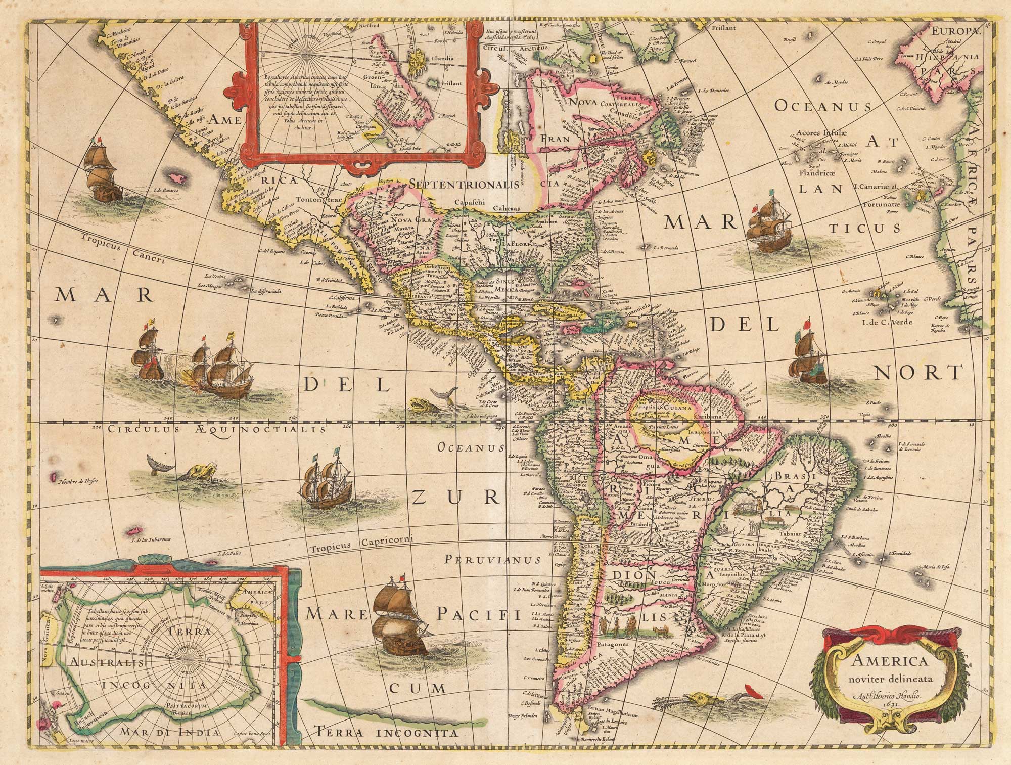
The first atlas issue of this 17th century map of America
HONDIUS, Jodocus II. Date: 1636 Stock #: 19628 £2,200.00
Add to Wishlist
Add to Wishlist